Parking
Access is on Route 430, about 9 km north of the Wiltondale park entrance; the trailhead is at the Southeast Brook Falls access loop.
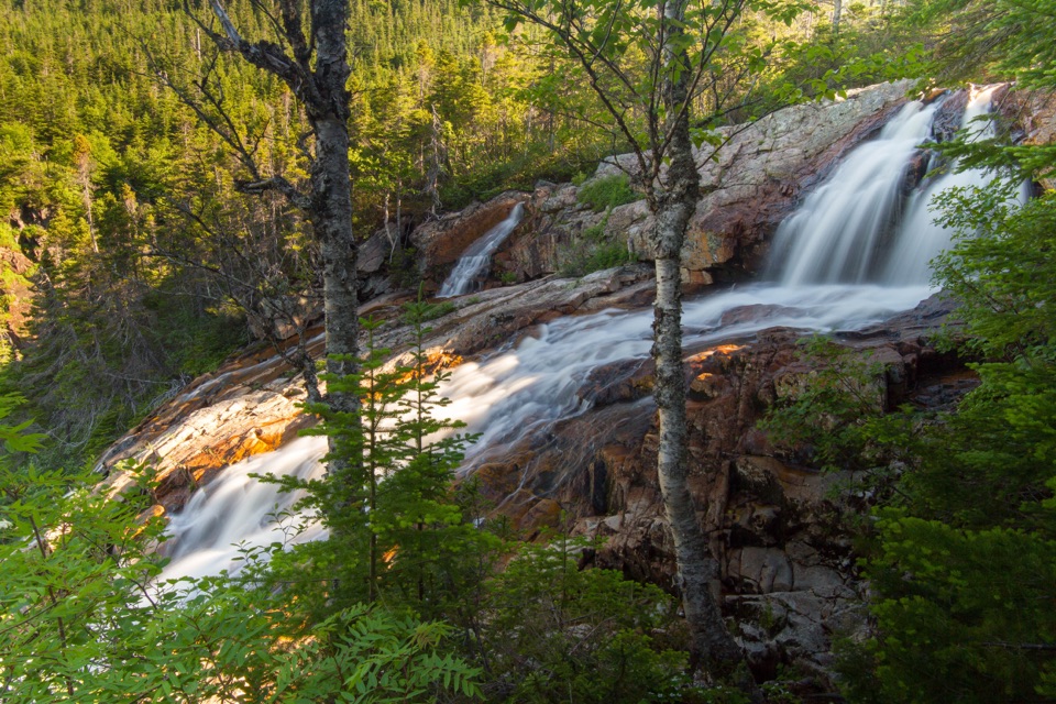
Gros Morne National Park, NL
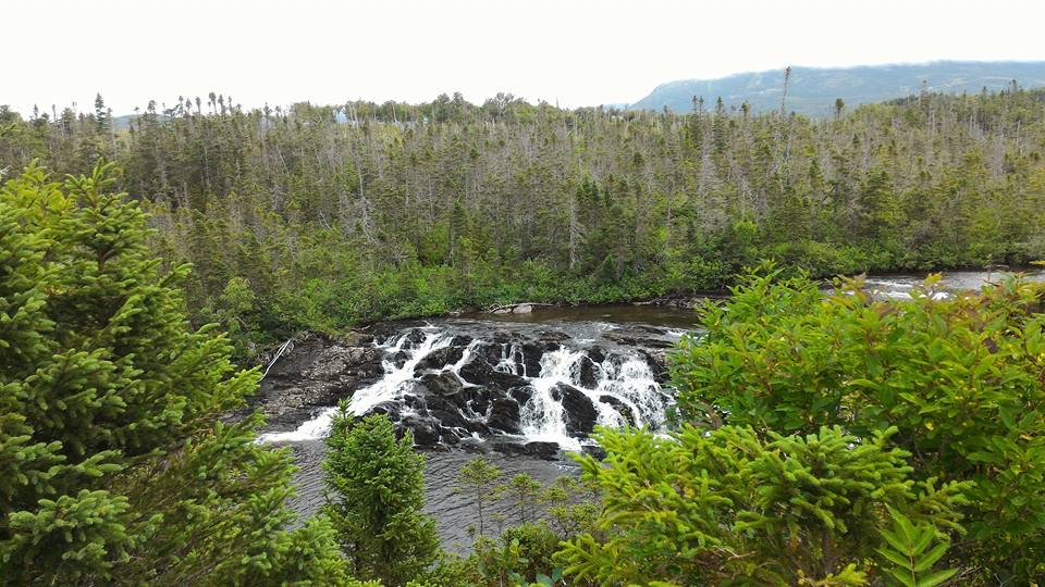
A quick forest walk to the top of a 40-metre waterfall.
Overview
Map & elevation
Plan your hike

The highest, rockiest slopes around here are a summer buffet for grizzly bears.
Gros Morne Tour Guide
Parkwolf is a GPS audio tour guide for Gros Morne National Park. As you drive, it chimes in with what’s ahead: hidden gems, upcoming stops, history, geology, and wildlife, right through your car’s speakers.
Recorded for this trailhead
Southeast Brook Falls Trail“You're coming up on the Southeast Brook Falls trailhead, where a short walk through fir and birch leads to the top of a 40-metre waterfall. The return walk is about 700 metres and takes around half an hour.”
Plays as you drive up to this trailhead in the Parkwolf Gros Morne Tour Guide.
More stories near here in the app
“Fantastic app with many points of information… It’s great to just turn on while you’re driving and it gives you an audio tour of the national Park. We love it!!!!”


Trail guide
Southeast Brook Falls Trail is a 700 m out-and-back walk through balsam fir and white birch to the top of a 40 m waterfall. Parks Canada rates it easy and allows about 30 minutes; the route gains 32 m. It’s a good leg-stretcher on a Route 430 drive, or an easy pick if you want the falls without giving half a day to a hike.
The stream crosses a billion-year-old ridge of resistant granite before dropping over the falls. Signs along the trail introduce a Forest Bathing experience, so there’s more to notice than the water alone. The falls are strongest during spring runoff. For a photo, frame the falling water with the granite ridge so the rock and stream are both clear.
Find the access on Route 430, about 9 km north of the Wiltondale park entrance. Parks Canada says each trailhead has a map and orientation sign. The 32 m gain means you’ll climb some of the route on the way back. Pets are allowed under park rules but must stay leashed; follow any notices about area restrictions.
Wildlife
 252 sightingsMooseMost seen around 7 AMSighting map
 120 sightingsCaribouMost seen around 7 AMSighting map
 22 sightingsBlack BearMost seen around 7 PMSighting map
 61 sightingsBald EagleMost seen around 7 AMSighting map
 11 sightingsCommon Minke WhaleMost seen around noonSighting map
 70 sightingsHarbor SealMost seen around noonSighting map
Sighting maps show where each species has been reported across Gros Morne. Wildlife moves, so no sighting is guaranteed.
Keep exploring
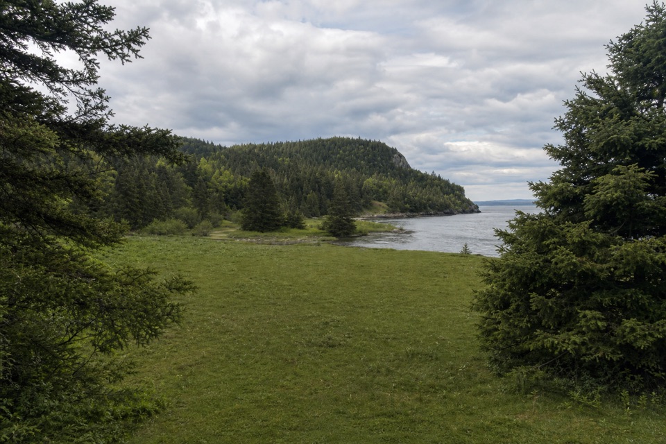 ModerateStanleyville Trail4.7 km · 1.8 hr · 7.3 km awayFollow an old logging road to a quiet cove and lost settlement.
 EasyMattie Mitchell Trail0.3 km · 15 min · 16.4 km awayShort woods loop to a quiet brook and local history.
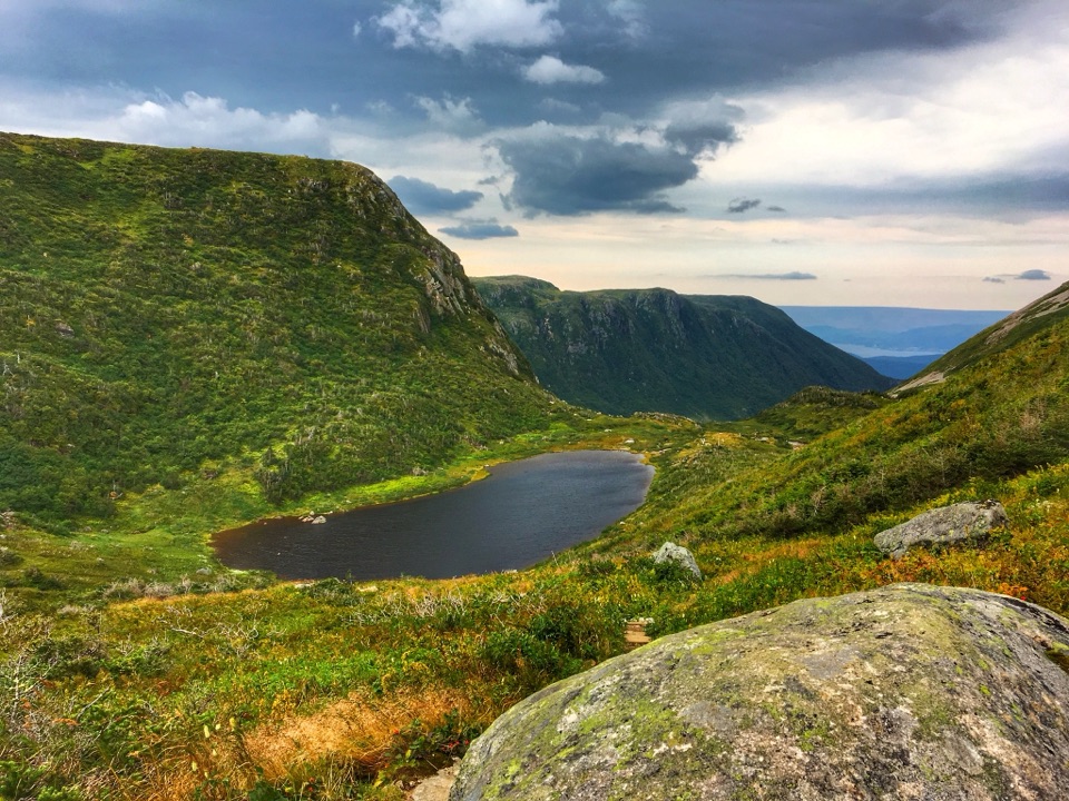 ChallengingGros Morne Mountain Trail17 km · 7.3 hr · 16.9 km awayWaterfalls, a bare alpine summit, and a boulder-strewn descent.
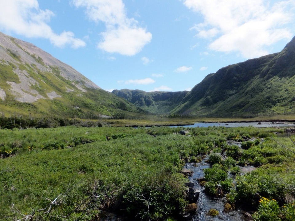 ChallengingFerry Gulch to Bakeapple Pond21 km · 2 days · 16.9 km awayTwo days of unmarked hiking to a view over Ten Mile Pond.
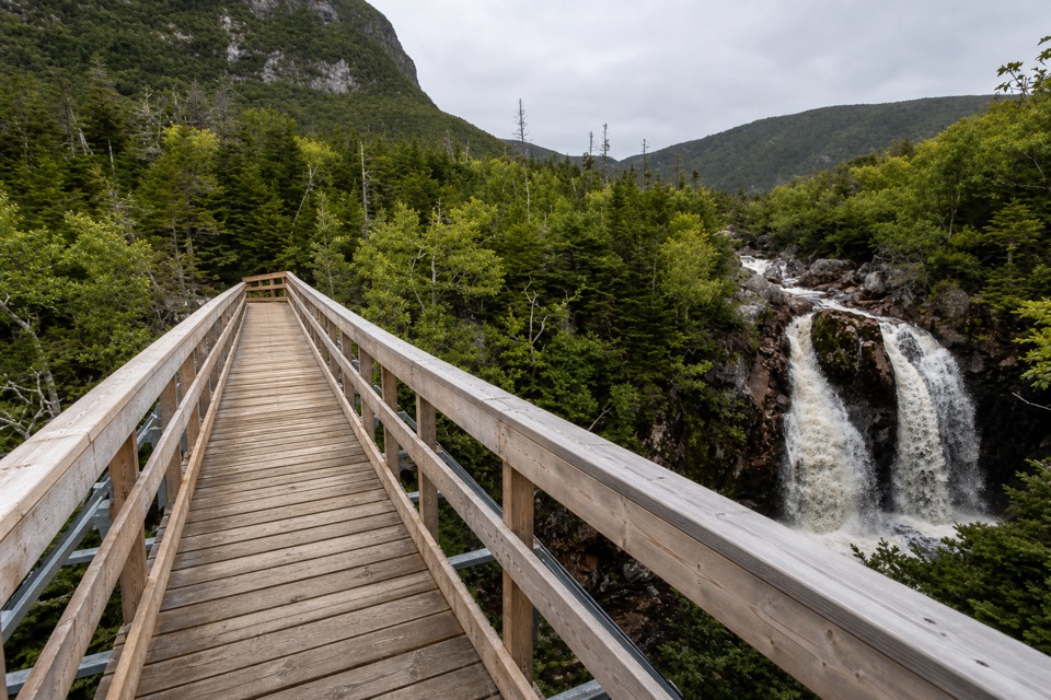 ModerateGros Morne Approach Trail9 km · 3 hr · 17 km awayA waterfall bridge marks the halfway point to the mountain’s base.
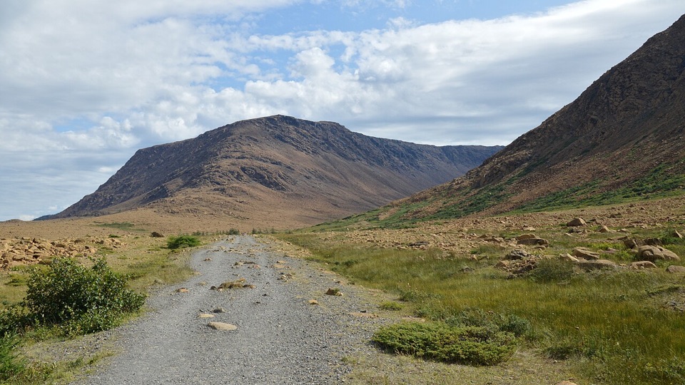 EasyTablelands Trail4 km · 1.5 hr · 22.8 km awayA short roadbed walk past mantle rock to a glacial canyon.
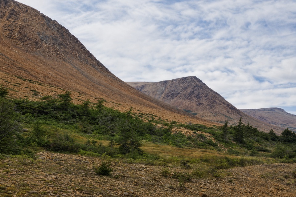 EasySerpentine Loop0.7 km · 30 min · 22.8 km awayA winding path through mantle rock and tiny Tablelands plants.
 Sight · 7.2 km awayLomond Day Use AreaLaunch for a short paddle or walk to Stanleyville.
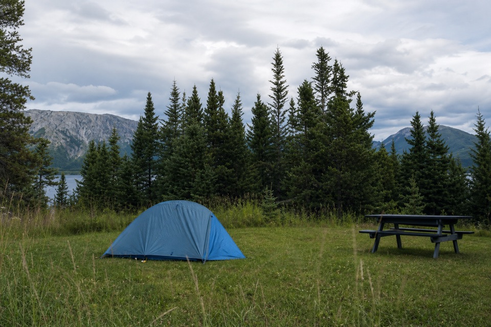 Campground · 7.3 km awayLomond CampgroundA tent pitch by Bonne Bay, with mountains across the water.
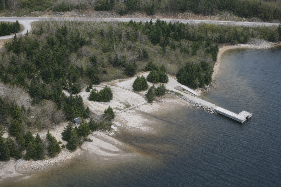 Picnic area · 10.3 km awayMill Brook Day Use AreaA sheltered Bonne Bay launch with a wharf and kitchen shelter.
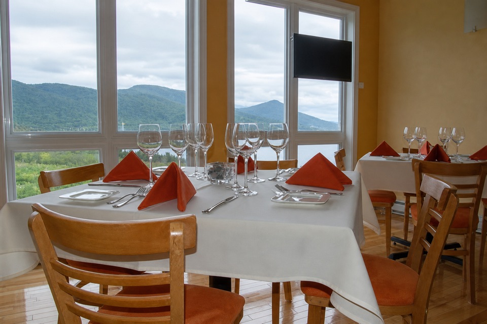 Restaurant · 16.1 km awayThe Black Spruce RestaurantScratch cooking and Newfoundland seafood at Neddies Harbour.
Parkwolf’s Gros Morne ranking

The audio tour guide for the drive, plus offline maps, trails, and wildlife heatmaps for when the signal drops.