Parking
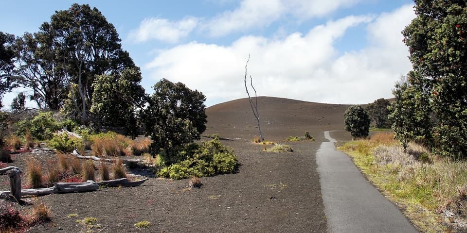
Use the Puʻuloa Petroglyphs parking area on Chain of Craters Road near mile marker 16.5, then cross the road to the Puna Coast Trail kiosk. The petroglyph walkway is a separate branch.

Hawaiʻi Volcanoes National Park, HI
A long lava coast walk ends beneath ʻĀpua’s coconut grove.
Overview
Map & elevation
Plan your hike

The highest, rockiest slopes around here are a summer buffet for grizzly bears.
Hawaiʻi Volcanoes Tour Guide
Parkwolf is a GPS audio tour guide for Hawaiʻi Volcanoes National Park. As you drive, it chimes in with what’s ahead: hidden gems, upcoming stops, history, geology, and wildlife, right through your car’s speakers.
See the Hawaiʻi Volcanoes audio tourRecorded for this trailhead
Puʻuloa: Carvings and Long Life“You're nearing the trailhead for Puʻuloa Petroglyphs, a sacred field of more than twenty-three thousand carvings in lava.”
Plays as you drive up to this trailhead in the Parkwolf Hawaiʻi Volcanoes Tour Guide.
More stories near here in the app
“Fantastic app with many points of information… It’s great to just turn on while you’re driving and it gives you an audio tour of the national Park. We love it!!!!”


Trail guide
Puna Coast Trail to ʻĀpua Point is a 10.8-mile out-and-back from Puʻuloa across the exposed south coast. It follows old lava to the water and finishes at a small coconut grove above beaches and coves. Allow a full day; expect about six hours of walking before longer breaks. Published distance figures conflict: one trail listing gives 6.6 miles each way, while the mapped route and other hike descriptions support about 10.8 miles round trip. Treat the mileage as approximate, check the latest park map, and leave a margin. ʻĀpua is the day-hike turnaround; the coast trail continues farther toward Keauhou.
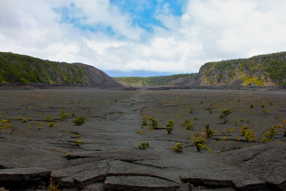
The route gradually descends from the Puʻuloa area toward the ocean, mainly over smooth pāhoehoe. Much of it is bare lava rather than a clear dirt tread, so follow the stone cairns and do not cut across the rock. Once you reach the coast, an old stone goat corral is a rare shade break. The final couple of miles to ʻĀpua cross more pāhoehoe, a short rough ʻaʻā section, and sandy dunes with naupaka.
A small stand of coconut palms marks the remote campsite above the shoreline. The coast has low beaches, coves, and lava arches; the surf can make the edge look inviting while remaining dangerous. For a photo, include the dark lava shelves with the breaking water so the picture shows how close the trail runs to the ocean. Protected green turtles rest on park beaches and hawksbills nest there, so keep clear of posted nesting areas.
There is no drinking water at ʻĀpua. Carry everything you need; the park recommends at least four quarts or liters per person per day for this coast. Shade is scarce, the wind can be strong, and uneven lava makes this a demanding walk. Strong rip currents make swimming unsafe. If you camp at ʻĀpua, you need a backcountry permit; ordinary pets are not allowed on park trails.
Wildlife
 600 sightingsHawaiian Goose (Nēnē)Most seen around 5 PMSighting map
 35 sightingsGreen Sea TurtleMost seen around 11 AMSighting map
 36 sightingsHawaiian Hawk ('Io)Most seen around 11 AMSighting map
 41 sightingsBlack NoddyMost seen around 5 PMSighting map
 96 sightingsWhite-tailed TropicbirdMost seen around noonSighting map
 24 sightingsHawai'i 'ElepaioMost seen around 8 AMSighting map
Sighting maps show where each species has been reported across Hawaiʻi Volcanoes. Wildlife moves, so no sighting is guaranteed.
Keep exploring
 ModeratePuʻuloa Petroglyphs Trail1.4 mi · 1.3 hr · At the trailheadRough lava footing leads to Hawaiʻi’s largest petroglyph field.
 ChallengingNāulu Trail6.4 mi · 3.5 hr · 2.8 mi awayA steady climb over rough lava links Kealakomo with the Nāpau junction.
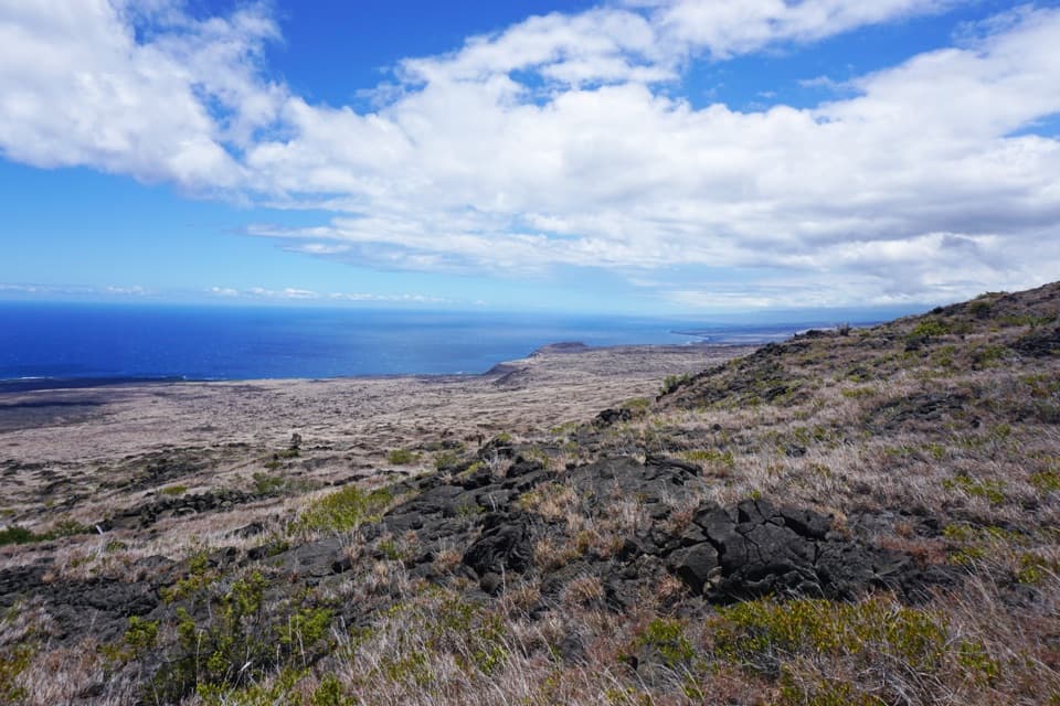 ChallengingKeauhou Trail15.2 mi · 8.5 hr · 5.8 mi awayLava ridges lead to a freshwater seep on the remote coast.
 ChallengingMakaopuhi Crater Trail8.2 mi · 5 hr · 7.7 mi awayA long lava crossing opens at a steep, forested crater rim.
 ModerateMaunaulu / Puʻuhuluhulu Trail2.5 mi · 2.5 hr · 7.7 mi awayCross 1969 lava flows to a forested cone and its viewing platform.
 ChallengingNāpau Trail12.4 mi · 7.2 hr · 7.7 mi awayCross old lava rivers into a fern forest and a crater overlook.
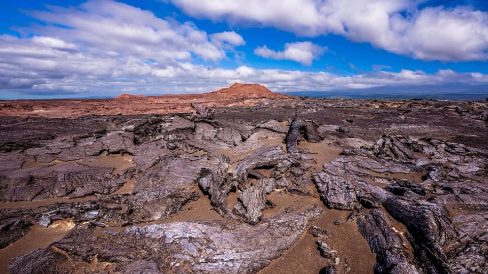 ModerateMaunaiki Trail7 mi · 4.5 hr · 10.2 mi awayA rough lava route through the Kaʻū Desert to Hilina Pali Road.
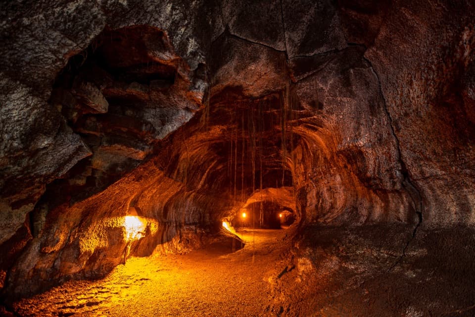 EasyNāhuku (Thurston Lava Tube) Trail0.4 mi · 30 min · 11.2 mi awayA short ferny walk leads into a 500-year-old lava tube.Sight · 0.6 mi awayPuʻuloa PetroglyphsWalk rough lava to a field of more than 23,000 petroglyphs.
 Sight · 1.8 mi awayAlanui KahikoA short walk reveals road pavement trapped by lava.
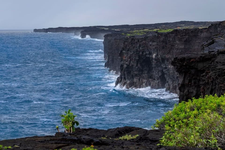 Sight · 2.1 mi awayHōlei Sea ArchThe sea arch is gone; the black-lava coast remains.
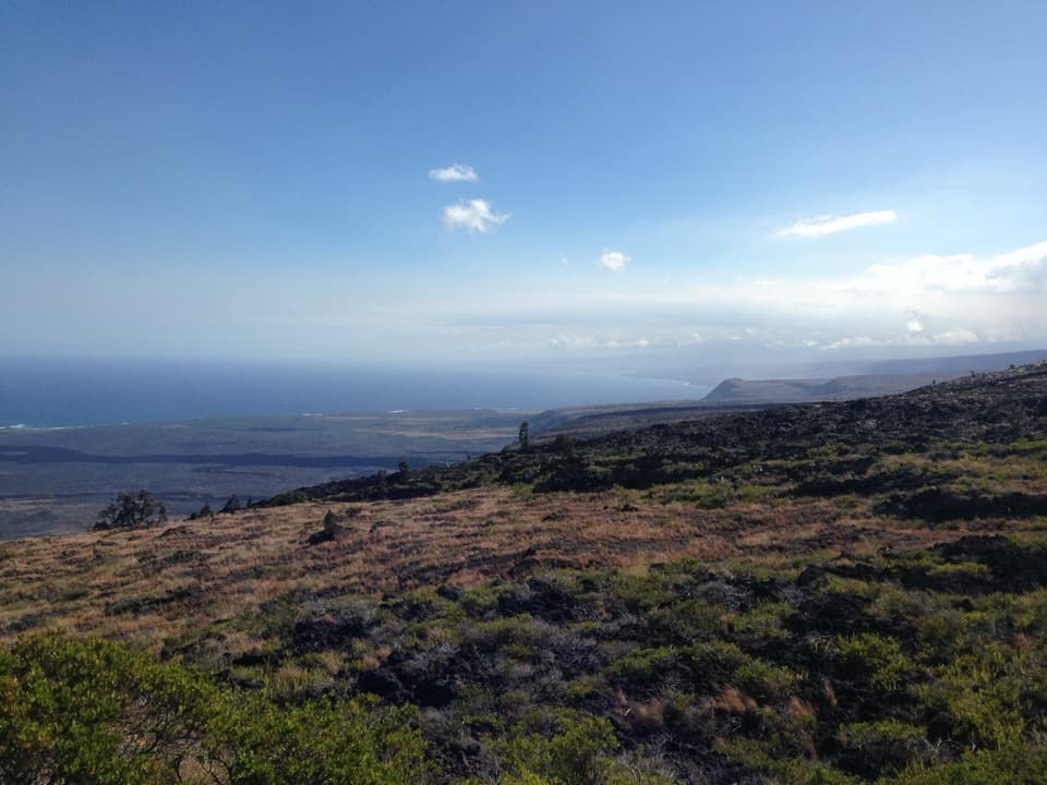 Sight · 2.8 mi awayKealakomo OverlookA coastal overlook above a village buried by lava.
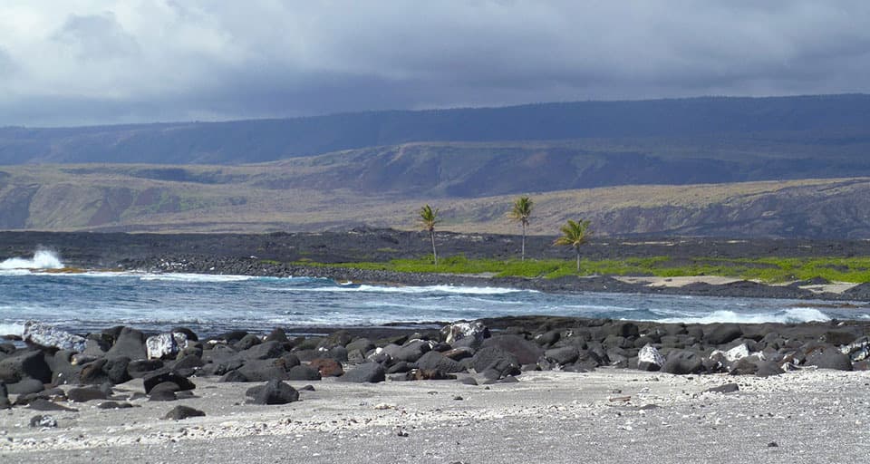 Campground · 4.6 mi awayʻĀpua PointA palm grove at the end of a long, exposed coastal hike.
 Sight · 4.9 mi awayMuliwai a PeleA three-day lava river left its own channels and levees.
 Scenic pullout · 5.8 mi awayMau Loa o MaunauluSee Maunaulu's glassy 1969–74 lava field from the road.
 Sight · 5.9 mi awayMakaopuhi Crater OverlookKīlauea’s largest pit crater, with a blue lava lens on its wall.
Parkwolf’s Hawaiʻi Volcanoes ranking

The audio tour guide for the drive, plus offline maps, trails, and wildlife heatmaps for when the signal drops.