Parking
Use the Kīpukapuaulu parking area 1.5 miles up Mauna Loa Road. Pit toilets are at the nearby picnic area.
#10 of 33 trails in Hawaiʻi Volcanoes
Hawaiʻi Volcanoes National Park, HI
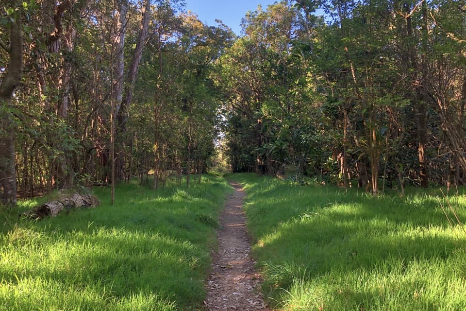
A shaded loop through an ancient forest island in younger lava.
Overview
Kīpukapuaulu is an easy 1.2-mile loop through a native forest island surrounded by younger lava. It is a shaded nature walk whose payoff is seeing how much plant and animal life fits into this older patch of forest. Allow one to one and a half hours if you stop at the numbered interpretive posts.
 Parkwolf’s verdictIs this the forest walk for you?
Map & elevation
Plan your hike

The highest, rockiest slopes around here are a summer buffet for grizzly bears.
Hawaiʻi Volcanoes Tour Guide
Parkwolf is a GPS audio tour guide for Hawaiʻi Volcanoes National Park. As you drive, it chimes in with what’s ahead: hidden gems, upcoming stops, history, geology, and wildlife, right through your car’s speakers.
See the Hawaiʻi Volcanoes audio tourRecorded for this trailhead
Kīpukapuaulu: Forest, Birdsong and a Picnic“Kīpukapuaulu is coming up, a pocket of older native forest surrounded by younger lava.”
Plays as you drive up to this trailhead in the Parkwolf Hawaiʻi Volcanoes Tour Guide.
More stories near here in the app
“Fantastic app with many points of information… It’s great to just turn on while you’re driving and it gives you an audio tour of the national Park. We love it!!!!”


Trail guide
Start and finish at the Kīpukapuaulu parking area off Mauna Loa Road. At the fork, take the left branch for the clockwise loop. The dirt path is fairly level, with a few short rises and dips, though some footing is uneven and rocky. The numbered stops are much easier to appreciate if you bring the trail guide. Pit toilets are at the nearby picnic area, not at the trailhead. Dogs, horses, and bicycles are not allowed.
A kīpuka is older land left surrounded by younger lava. The forest here grows on lava at least 8,600 years old, while the surrounding flow is about 600 years old. Layers of volcanic ash built deep, moisture-holding soil; the trail guide describes more native tree species per acre here than in any other forest in the park.
Cattle and feral goats once damaged this forest. Cattle were removed in 1928, and goats and pigs were fenced out in 1968. Civilian Conservation Corps workers built the trail in 1934. Later, volunteers pulled invasive nasturtium by hand, giving dormant koa seeds room to sprout. You can see the recovery in the young koa and in the mix of native ferns and herbs along the path.
Watch the māmaki shrubs for Kamehameha butterflies and the forest floor for Kalij pheasants, introduced to Hawaiʻi in 1962. Birdsong is easier to count on than a close sighting; the forest is worth the walk even when the birds stay hidden.
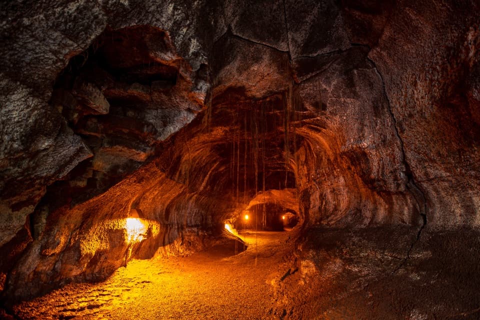
At stop six, a skylight opens into a lava tube beneath the forest. The tube is at least 8,600 years old, and the first cave-adapted animal species known in Hawaiʻi was discovered there in 1971. The small-eyed, big-eyed hunting spider is one of the unusual animals associated with these dark tubes. Stay on the path; entering the tube is discouraged because its geology and wildlife are fragile.
Wildlife
 600 sightingsHawaiian Goose (Nēnē)Most seen around 5 PMSighting map
 35 sightingsGreen Sea TurtleMost seen around 11 AMSighting map
 36 sightingsHawaiian Hawk ('Io)Most seen around 11 AMSighting map
 41 sightingsBlack NoddyMost seen around 5 PMSighting map
 96 sightingsWhite-tailed TropicbirdMost seen around noonSighting map
 24 sightingsHawai'i 'ElepaioMost seen around 8 AMSighting map
Sighting maps show where each species has been reported across Hawaiʻi Volcanoes. Wildlife moves, so no sighting is guaranteed.
Keep exploring
 EasyCrater Rim Trail3.8 mi · 2 hr · 1.5 mi awayA 3.8-mile out-and-back from Kīlauea Overlook to Volcano House.
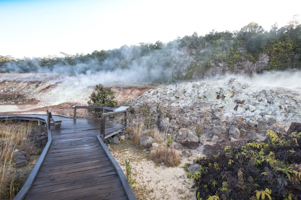 EasyHaʻakulamanu (Sulphur Banks) Trail1.2 mi · 36 min · 2.4 mi awayA short boardwalk walk past yellow sulfur and rising steam.
 ModerateHalemaʻumaʻu Trail1.6 mi · 1.5 hr · 2.9 mi awayA short rainforest descent opens onto Kīlauea’s caldera floor.
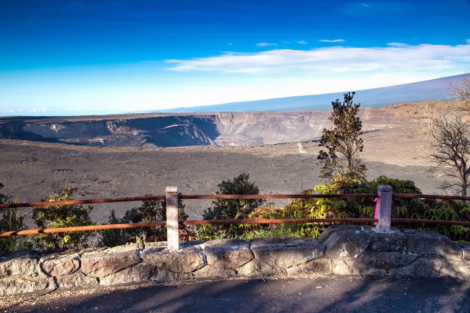 EasyKūpinaʻi Pali (Waldron Ledge) Trail1.2 mi · 54 min · 2.9 mi awayA short paved route to a broad caldera view
 ModerateUēaloha (Byron Ledge) Trail2.2 mi · 1.5 hr · 3.9 mi awayOpen cinder, forested ledge, and views of Puʻupuaʻi.
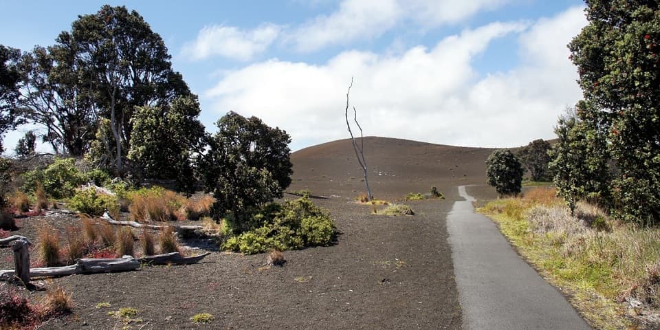 EasyDevastation Trail1 mi · 1 hr · 3.9 mi awayA short paved walk through cinder from Kīlauea Iki’s 1959 eruption.
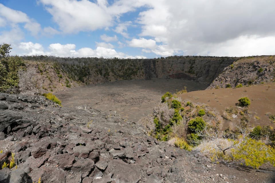 EasyKeanakākoʻi Crater Trail2 mi · 1.3 hr · 3.9 mi awayAn easy walk on a former road reaches a 115-foot crater.
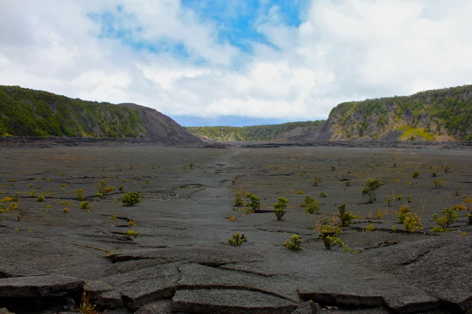 ModerateKīlauea Iki Trail3.3 mi · 2.5 hr · 4.2 mi awayCross a solidified lava lake beneath PuʻupuaʻiSight · At the trailheadKīpukapuauluA shaded forest island with native birds, trees, and lava history.
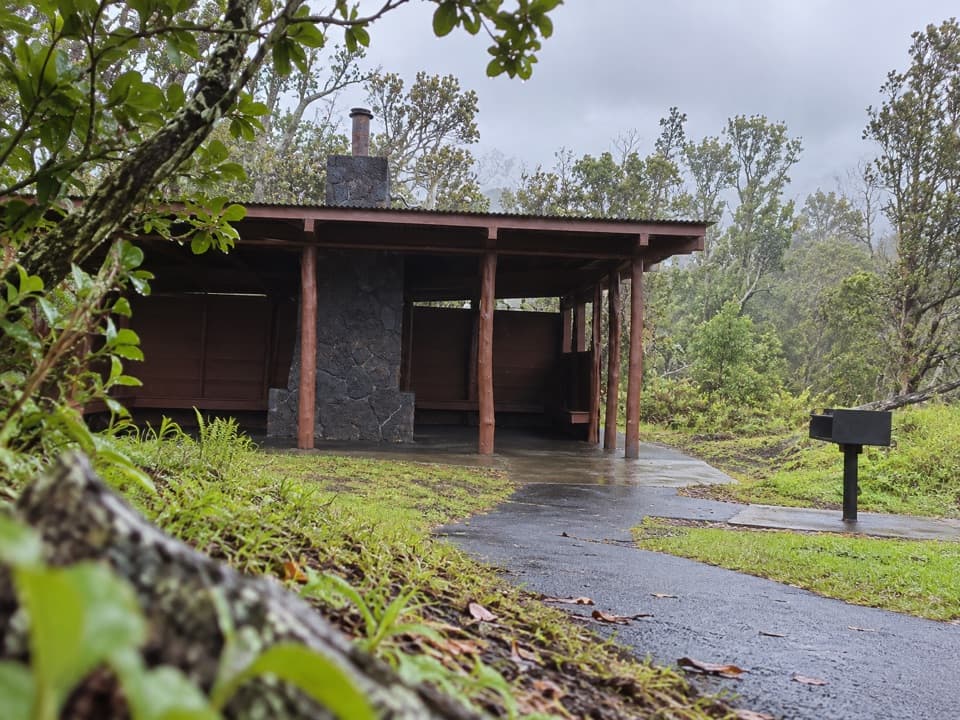 Picnic area · 0.2 mi awayKīpukapuaulu Picnic AreaA rain shelter and grill beside an older forest island.
 Campground · 1 mi awayNāmakanipaio CampgroundA simple in-park campground with tent sites and rustic cabins.
 Sight · 1.4 mi awayTree MoldsSee what a tree leaves behind when lava moves through a forest.
 Sight · 1.6 mi awayUēkahunaA caldera overlook and place of Native Hawaiian cultural practice.
 Sight · 1.6 mi awayKīlauea OverlookA short walk to a huge view into Kīlauea's caldera.
 Visitor center · 1.9 mi awayWelcome CenterA helpful stop for trail advice, maps and a park-store browse.
 Lodging · 1.9 mi awayKīlauea Military Camp (KMC)Lodging, dining and recreation at a historic park camp.
Parkwolf’s Hawaiʻi Volcanoes ranking
The audio tour guide for the drive, plus offline maps, trails, and wildlife heatmaps for when the signal drops.