Parking
Use the Maunaiki Trailhead on Hilina Pali Road for the east end. The Maunaiki end is 1.8 miles from the Kaʻū Desert Trailhead on Highway 11 by a separate approach. Arrange transport between access points if you hike through.
Hawaiʻi Volcanoes National Park, HI
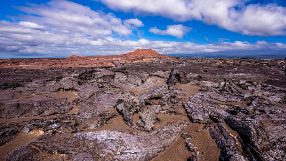
A rough lava route through the Kaʻū Desert to Hilina Pali Road.
Overview
Map & elevation
Plan your hike

The highest, rockiest slopes around here are a summer buffet for grizzly bears.
Hawaiʻi Volcanoes Tour Guide
Parkwolf is a GPS audio tour guide for Hawaiʻi Volcanoes National Park. As you drive, it chimes in with what’s ahead: hidden gems, upcoming stops, history, geology, and wildlife, right through your car’s speakers.
See the Hawaiʻi Volcanoes audio tourRecorded for this area
Kulanaokuaiki: A Basic Walk-In Camp“Kulanaokuaiki Campground is ahead, a small tent camp off Hilina Pali Road. Choose it for a basic overnight stay, with just nine walk-in sites, available first come, first served.”
Plays on the road 0.2 mi from the trailhead in the Parkwolf Hawaiʻi Volcanoes Tour Guide.
More stories near here in the app
“Fantastic app with many points of information… It’s great to just turn on while you’re driving and it gives you an audio tour of the national Park. We love it!!!!”


Trail guide
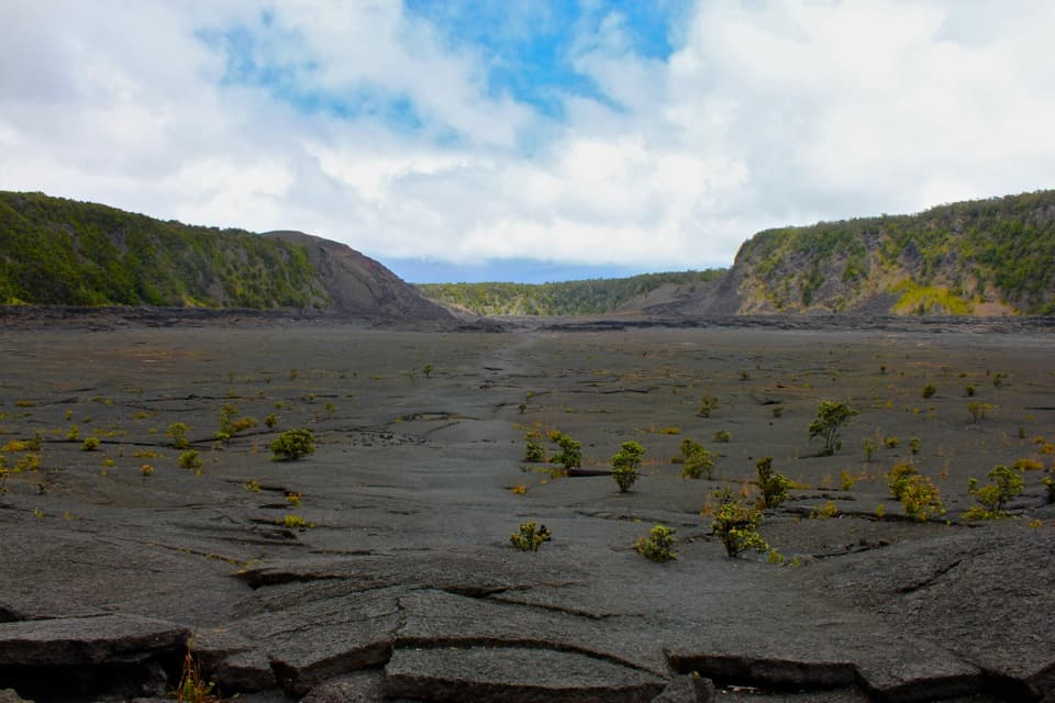
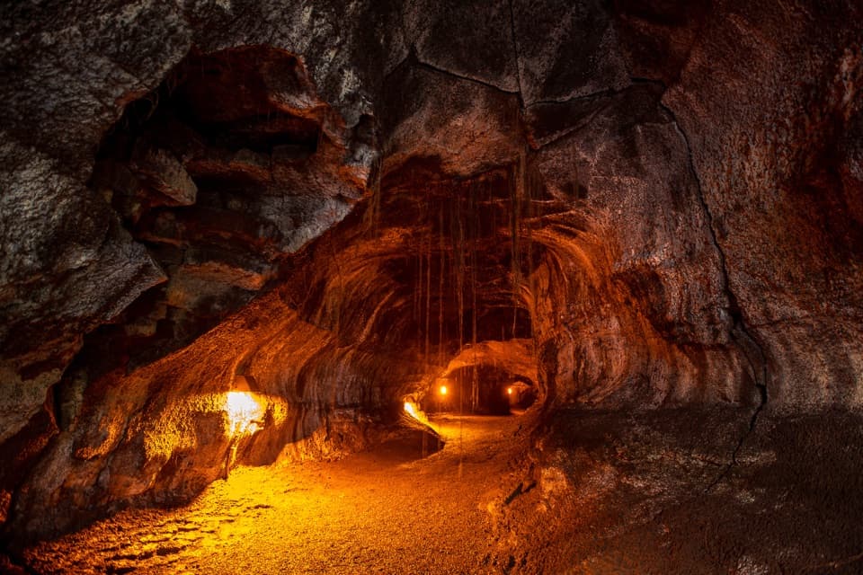
Maunaiki Trail is a 7-mile point-to-point walk across the Kaʻū Desert between Maunaiki and the trailhead on Hilina Pali Road. It crosses broken lava, cinder cones and deep pit craters. This is a long, rough volcanic traverse, not a quick stop. Allow about 4 to 6 hours for the trail itself.
The park's published map gives seven miles, but the connected line I could verify measures about 5.3 miles. Use the full seven-mile figure for planning and check the current route with the park before setting out.
The named Maunaiki segment starts at Maunaiki. From the Kaʻū Desert Trailhead on Highway 11, a separate 1.8-mile one-way approach reaches it; the footprints shelter is about 0.8 miles into that walk. The approach isn't included in the seven-mile figure. The Hilina Pali and Highway 11 access points are separate, so arrange a pickup or be ready to retrace the trail for a 14-mile round trip.
The trail crosses fields of broken, jagged lava and is extremely uneven in places. Ahu, or stacked-rock markers, show the way, but you need to keep your eyes on the ground and follow the established line. There is no water and almost no shade. Fragile ash deposits and nearby cultural resources are reasons to stay on the trail rather than cutting across the surface.
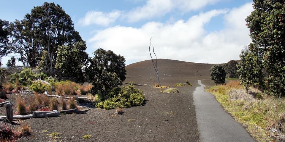
Two cinder cones and deep pit craters break up the lava field. The Mauna Iki cone formed in the 1919–1920 eruption; look for thin golden strands called Pele's hair in the area. White-tailed tropicbirds nest in the walls of Twin Pit Craters, so keep back from the eroding edges and watch from the marked route.
If you take the Highway 11 approach, stop at the shelter exhibit about human footprints preserved in ash after the 1790 eruption. The tracks belong to people who were traveling through this landscape when ash, sand and hot gas fell across it. The exhibit is a short detour on the approach, not part of the seven-mile Maunaiki segment; stay on the path around the fragile deposits.
Wildlife
 600 sightingsHawaiian Goose (Nēnē)Most seen around 5 PMSighting map
 35 sightingsGreen Sea TurtleMost seen around 11 AMSighting map
 36 sightingsHawaiian Hawk ('Io)Most seen around 11 AMSighting map
 41 sightingsBlack NoddyMost seen around 5 PMSighting map
 96 sightingsWhite-tailed TropicbirdMost seen around noonSighting map
 24 sightingsHawai'i 'ElepaioMost seen around 8 AMSighting map
Sighting maps show where each species has been reported across Hawaiʻi Volcanoes. Wildlife moves, so no sighting is guaranteed.
Keep exploring
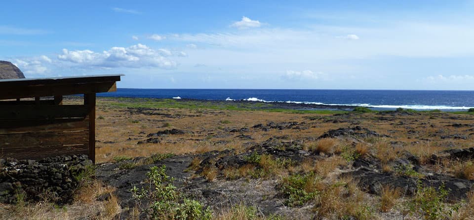 ChallengingKaʻaha Trail7.2 mi · 6 hr · 3.8 mi awayA rocky cove rewards a steep, sun-baked climb back up the pali.
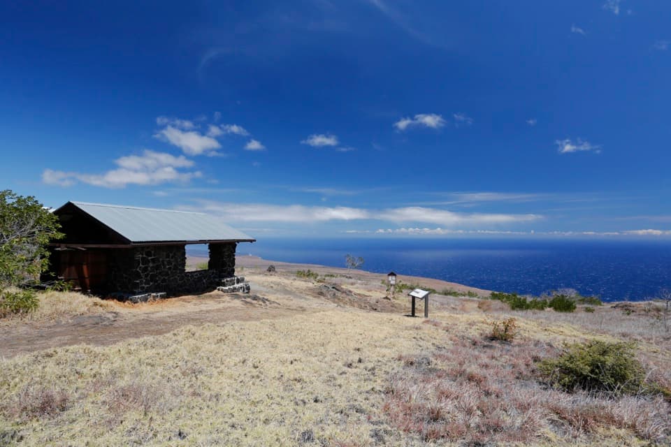 ChallengingHilina Pali Overlook Loop8.1 mi · 7.5 hr · 3.8 mi awayA steep pali descent opens onto a hot, rocky coastal loop.
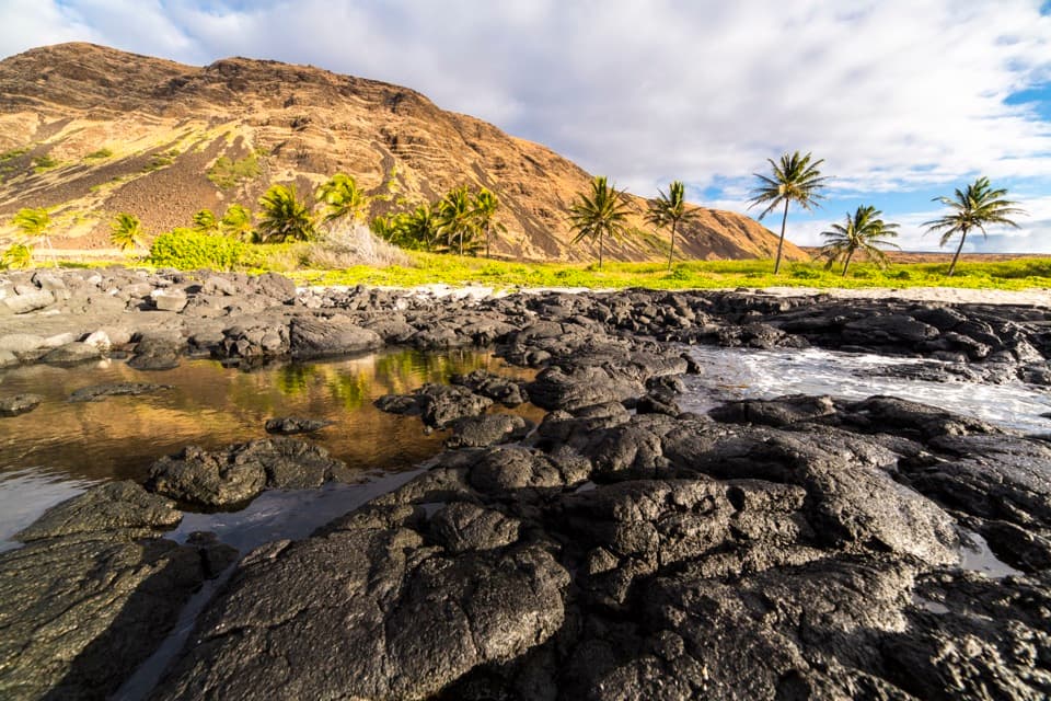 ChallengingHilina Pali Trail to Halapē16 mi · 10 hr · 3.8 mi awayA long, hot lava descent to a remote coconut-lined shore.
 ModerateMaunaulu / Puʻuhuluhulu Trail2.5 mi · 2.5 hr · 4.2 mi awayCross 1969 lava flows to a forested cone and its viewing platform.
 ChallengingNāpau Trail12.4 mi · 7.2 hr · 4.2 mi awayCross old lava rivers into a fern forest and a crater overlook.
 ChallengingMakaopuhi Crater Trail8.2 mi · 5 hr · 4.2 mi awayA long lava crossing opens at a steep, forested crater rim.
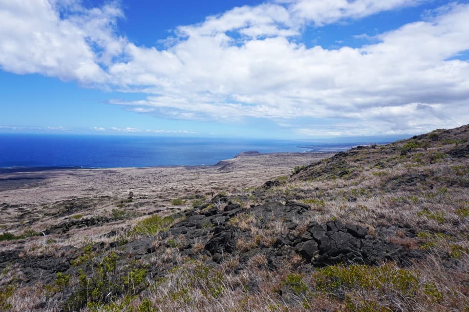 ChallengingKeauhou Trail15.2 mi · 8.5 hr · 4.7 mi awayLava ridges lead to a freshwater seep on the remote coast.
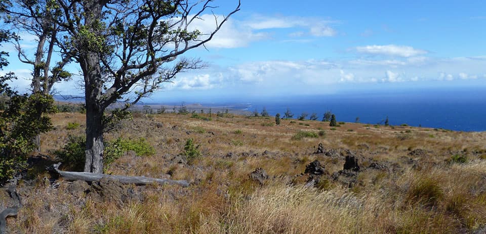 ChallengingKaʻū Desert Trail to Pepeiao9.1 mi · 7 hr · 4.7 mi awayA cairn-marked crossing to a remote backcountry camp.
 Campground · 0.2 mi awayKulanaokuaiki CampgroundA quiet, nine-site camp off the remote southern road.
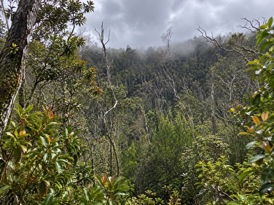 Sight · 3.6 mi awayKoʻokoʻolau Crater LookoutA pit crater with a 1958 survey marker on its rim.Sight · 3.8 mi awayHilina Pali OverlookA nine-mile detour for Kīlauea’s wide-open Pacific view.
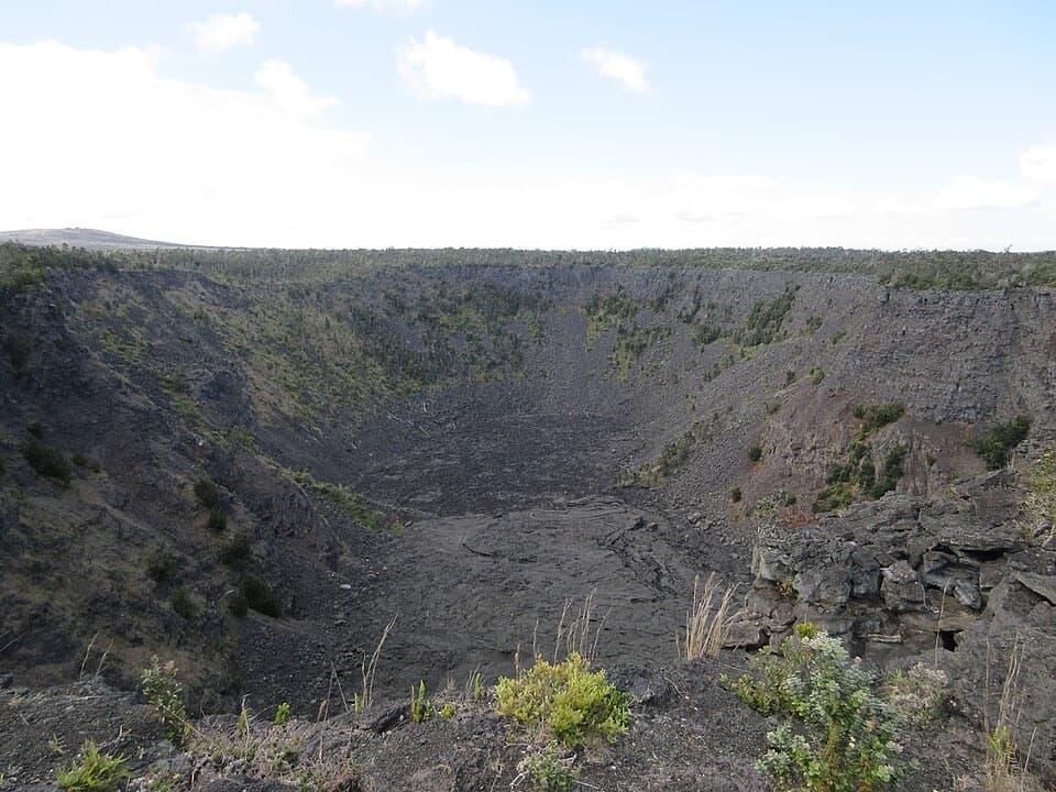 Sight · 3.9 mi awayPauahi CraterA roadside look into a crater shaped by three eruptions.
 Sight · 3.9 mi awayPuhimau CraterA quick roadside look into one of Kīlauea's steep-walled pit craters.
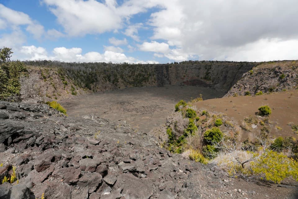 Sight · 4.1 mi awayKeanakākoʻi CraterA short old-road walk reaches a crater layered with human history.
 Sight · 4.2 mi awayLuamanu and July 1974 FlowA crater holds the mark of lava that later drained away.
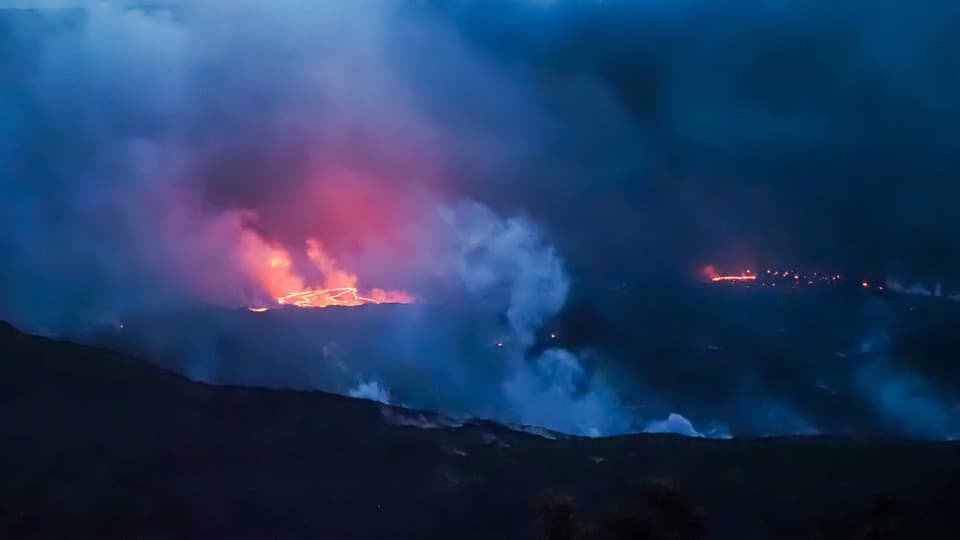 Sight · 4.4 mi awayEruption Viewing near Keanakākoʻi OverlookA two-mile round trip to a closer Halemaʻumaʻu view.
Parkwolf’s Hawaiʻi Volcanoes ranking

The audio tour guide for the drive, plus offline maps, trails, and wildlife heatmaps for when the signal drops.