Parking
Access begins at Cairnes Creek Recreation Site at the end of Blaeberry Forest Service Road. Finish at Mistaya Canyon on Highway 93; arrange a pickup or shuttle because this is not a loop.
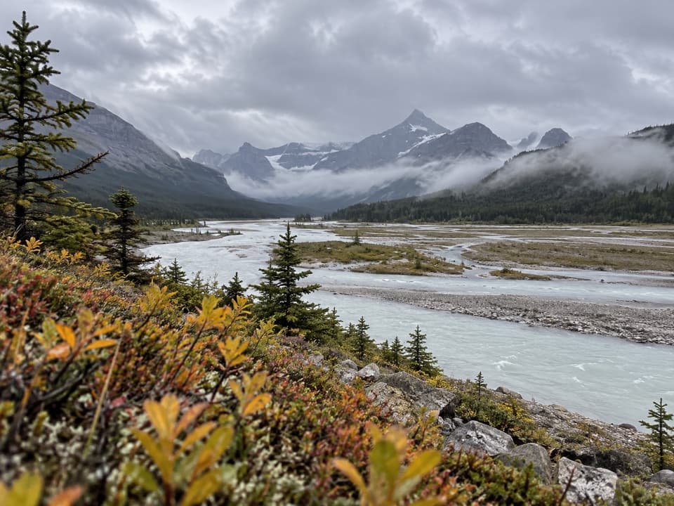
Icefields Parkway (Highway 93), AB
A remote pass traverse across the braided Howse River valley.
Overview
Map & elevation
Plan your hike

The highest, rockiest slopes around here are a summer buffet for grizzly bears.
Icefields Parkway Tour Guide
Parkwolf is a GPS audio tour guide for Icefields Parkway (Highway 93). As you drive, it chimes in with what’s ahead: hidden gems, upcoming stops, history, geology, and wildlife, right through your car’s speakers.
See the Icefields Parkway audio tour“Fantastic app with many points of information… It’s great to just turn on while you’re driving and it gives you an audio tour of the national Park. We love it!!!!”


Trail guide
The Howse Pass Trail is a 38.9 km (24.2 mi) one-way wilderness traverse from Cairnes Creek Recreation Site in British Columbia to Mistaya Canyon on Highway 93. It crosses Howse Pass below treeline, then descends to the Howse River valley and follows its braided floodplain toward the Parkway. Allow about 20 hours of hiking across 2–3 days; this is a demanding backcountry route, not a quick day hike.
Treat the mapped line as a corridor, not a promise of continuous footpath. The old tread is choked by deadfall, and current travel shifts across open floodplain; expect faint or braided lines and serious route-finding. One short mapped section near Mistaya is uncertain, so verify the route before setting out.
Many Howse River side channels are unbridged, so wet feet are likely and conditions can change quickly. Banff backcountry camps require the appropriate overnight permit. Do not take the Glacier Lake shortcut on foot: it involves a deep Howse River ford and is recommended only for equestrians.
This is a point-to-point trip. Start at Cairnes Creek Recreation Site at the end of Blaeberry Forest Service Road and arrange a pickup or shuttle at Mistaya Canyon. There are no services along the traverse; Saskatchewan Crossing’s hotel, restaurant, gas and store are a separate road stop, not trailhead facilities.
Secwépemc people used this corridor for travel and trade, linking with northern Stoney communities and Rocky Mountain House. David Thompson crossed Howse Pass in 1807, and the route later carried North West Company trade toward the Columbia River.
Dogs are allowed on the Banff section but must be leashed. The long, remote route, faint tread and repeated fords make this a poor fit for most dogs.
Wildlife
 12 sightingsGrizzly BearMost seen around 6 AMSighting map
 127 sightingsBlack BearMost seen around 7 PMSighting map
 16 sightingsMooseMost seen around 6 AMSighting map
 100 sightingsElkMost seen around 8 PMSighting map
 34 sightingsMountain GoatMost seen around 7 PMSighting map
 53 sightingsBighorn SheepMost seen around 6 PMSighting map
Sighting maps show where each species has been reported across Icefields Parkway. Wildlife moves, so no sighting is guaranteed.
Keep exploring
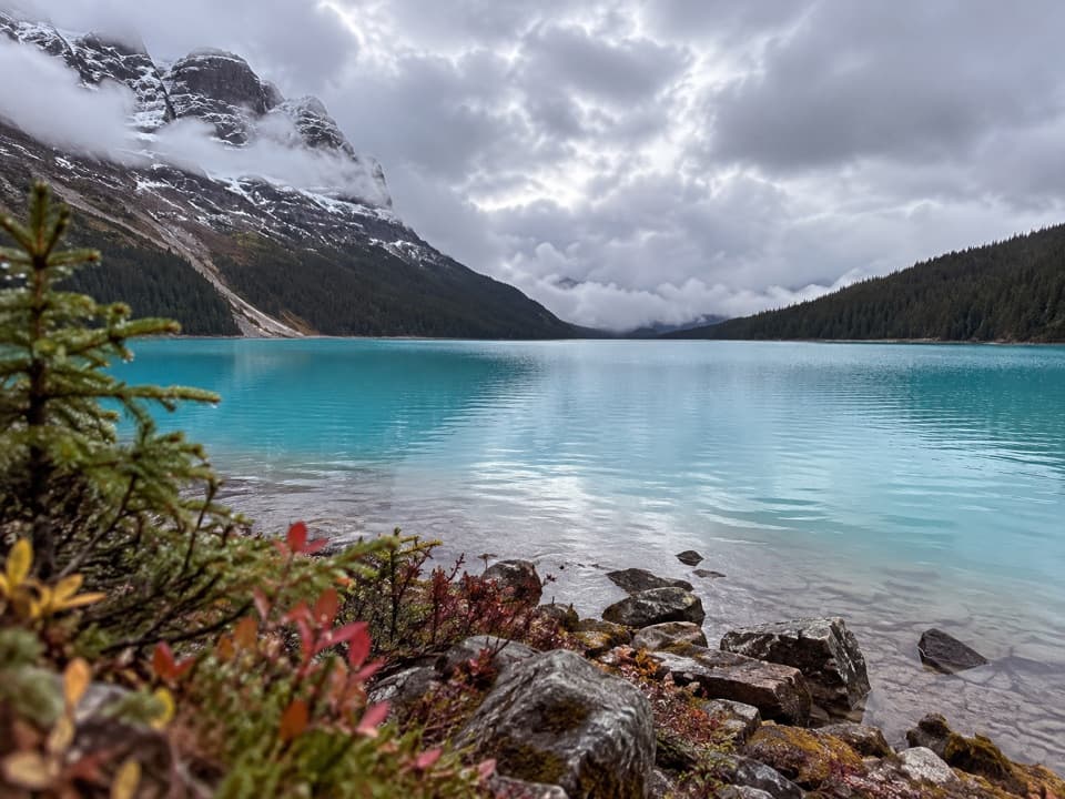 ChallengingPeyto Lake Trail2.4 km · 1.3 hr · 13.8 km awayA steep, rough descent to Peyto Lake’s actual shoreline.
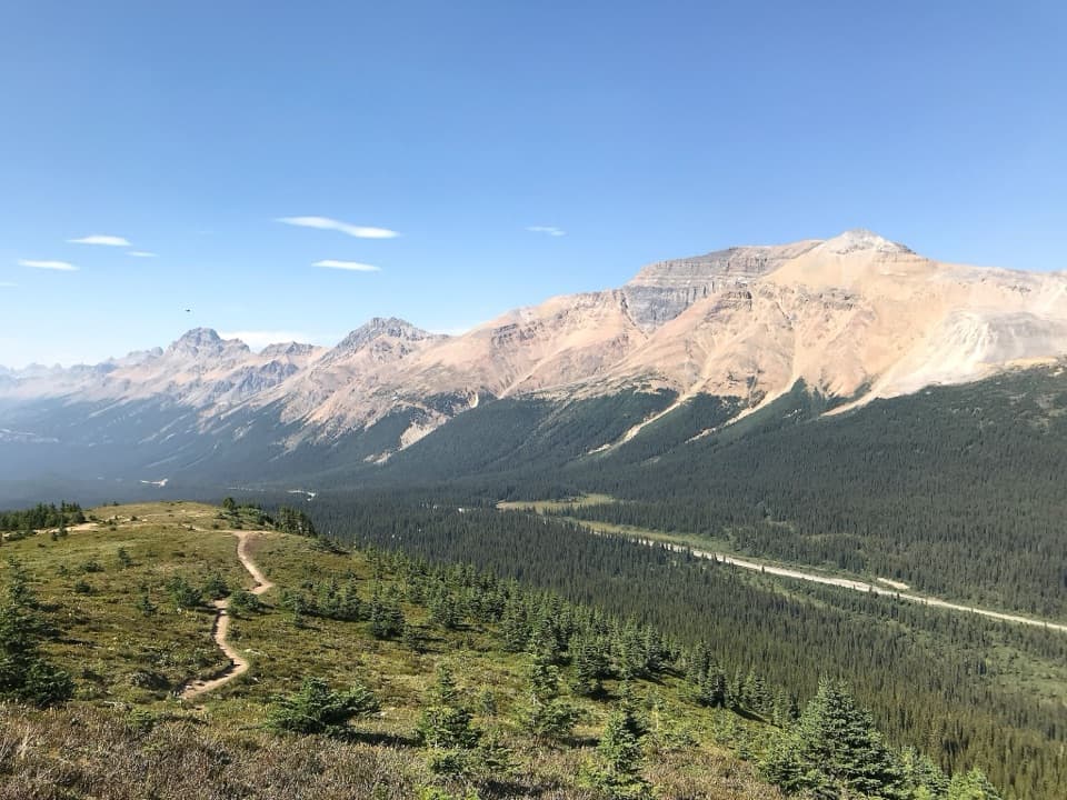 ModerateBow Summit Viewpoint Trail6.8 km · 2.5 hr · 14.5 km awayContinue past Peyto Lake for Bow Lake and wider mountain views.
 EasyPeyto Lake Lookout Trail1.2 km · 30 min · 14.5 km awayThe lake’s turquoise outline comes into view after a short climb.
 EasyUpper Waterfowl Lake Trail1.7 km · 45 min · 15.2 km awayA quick bridge crossing opens onto turquoise Upper Waterfowl Lake.
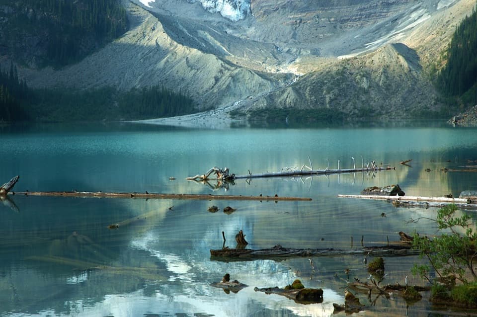 ModerateCirque Lake Trail9.2 km · 3 hr · 15.4 km awayBeyond the forest, a boulder shore opens to glacier views.
 ModerateChephren Lake Trail8.2 km · 2.8 hr · 15.4 km awayA rooty forest out-and-back to a turquoise lake beneath towering peaks.
 ModerateBow Glacier Falls Trail9.1 km · 4 hr · 17.4 km awayBow Lake’s shore opens to a steep climb beneath the glacier.
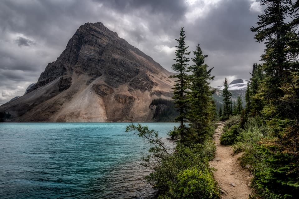 EasyBow Lake Lakeshore Trail3.8 km · 1 hr · 17.4 km awayAn easy lakeshore walk with Bow Lake and Crowfoot Mountain in view.
 Sight · 11.4 km awayCirque LakeBlue water under a glacier and cirque walls, worth the hike.
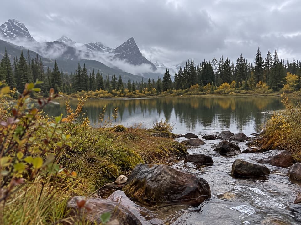 Campground · 12.8 km awaySilverhorn Creek CampgroundA simple night between big stops, with mountain views and creekside sites.
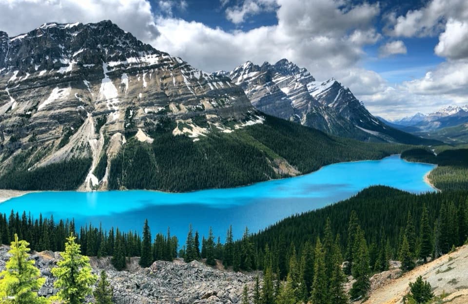 Sight · 13.9 km awayPeyto Lake ViewpointLook for a wolf's head in the turquoise lake below.
 Sight · 14.5 km awayUpper Waterfowl LakeTurquoise water and mountain reflections reward a short shore walk.
 Sight · 14.7 km awayBow Summit ViewpointA longer hike beyond Peyto's platform into a high alpine lookout.Sight · 14.8 km awayChephren LakeA rooty forest hike ends at a glacial lake beneath big peaks.
 Campground · 15.4 km awayWaterfowl Lakes CampgroundCamp between glacier-fed lakes, and plan to go offline.
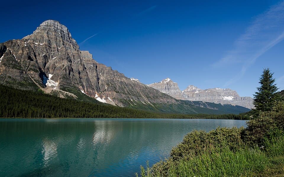 Scenic pullout · 15.9 km awayLower Waterfowl Lake ViewpointA quick pull-off for turquoise water and Mount Chephren.
Parkwolf’s Icefields Parkway ranking

The audio tour guide for the drive, plus offline maps, trails, and wildlife heatmaps for when the signal drops.


