Parking
Park at the road-end trailhead at the end of Toes of the Glacier Road, across Highway 93 from the Icefield Centre. This is separate from the Forefield Trail access directly across from the Centre.

Icefields Parkway (Highway 93), AB
A short rocky climb to a close view of the glacier's toe.
Overview
The Toe of the Athabasca Glacier Trail is a 1.8 km (1.1 mi) return walk from the end of Toes of the Glacier Road to a rock bench just short of the ice. Allow about an hour for roughly 60 m (200 ft) of climbing. If you want a close look at a glacier without booking a guided ice walk, this is the easy choice. The route stays on land.
 Parkwolf’s verdictIs this the glacier walk for you?
Map & elevation
Plan your hike

The highest, rockiest slopes around here are a summer buffet for grizzly bears.
Icefields Parkway Tour Guide
Parkwolf is a GPS audio tour guide for Icefields Parkway (Highway 93). As you drive, it chimes in with what’s ahead: hidden gems, upcoming stops, history, geology, and wildlife, right through your car’s speakers.
See the Icefields Parkway audio tourRecorded for this trailhead
Athabasca Glacier: Walk the Retreat“You're approaching the Athabasca Glacier area. For a close view without booking an excursion, I'd choose the Toe of the Athabasca Glacier Trail from the road-end parking area.”
Plays as you drive up to this trailhead in the Parkwolf Icefields Parkway Tour Guide.
More stories near here in the app
“Fantastic app with many points of information… It’s great to just turn on while you’re driving and it gives you an audio tour of the national Park. We love it!!!!”


Trail guide
Trail 52 crosses a footbridge over glacier meltwater, then climbs across glacially smoothed limestone. The final slope is short but steeper than the distance suggests, and the rock is uneven underfoot. Cold wind comes off the ice; a warm layer and gloves can matter even in midsummer.
The limestone was still under the glacier in the 1950s. Scratches and grooves in its surface follow the old flow of ice, so the walk gives you a close look at what a retreating glacier leaves behind. At the bench, keep some of the bare moraine in your photo's foreground; it helps the glacier feel as large as it is.
The toe is hollow and collapsing, with extremely cold, fast water beneath it; snow can hide crevasses. Don't walk onto the glacier from here. The official route description gives a 1.8 km return to the bench but doesn't spell out a separate loop. A slab route above Sunwapta Lake appears in some descriptions, though its connection to today's signed Trail 52 isn't clear. Follow current markers for the return and don't add that uncertain leg to the listed distance.
Use the road-end trailhead, not the separate Forefield Trail access across from the Icefield Centre. The Centre is across Highway 93; there are no gas stations between Jasper and Saskatchewan Crossing, 154 km farther south, so arrive with enough fuel. Dogs are allowed on this trail on a leash no longer than 3 m.
Wildlife
 12 sightingsGrizzly BearMost seen around 6 AMSighting map
 127 sightingsBlack BearMost seen around 7 PMSighting map
 16 sightingsMooseMost seen around 6 AMSighting map
 100 sightingsElkMost seen around 8 PMSighting map
 34 sightingsMountain GoatMost seen around 7 PMSighting map
 53 sightingsBighorn SheepMost seen around 6 PMSighting map
Sighting maps show where each species has been reported across Icefields Parkway. Wildlife moves, so no sighting is guaranteed.
Keep exploring
 ModerateForefield Trail2.5 km · 1.5 hr · 1 km awayA short, rocky walk over ground the glacier left behind.
 ModerateWilcox Pass6.8 km · 2.5 hr · 3.3 km awayA steep forest climb opens to wildflowers and icefield views.
 ModerateWilcox Ridge Viewpoint Trail9.3 km · 4 hr · 3.3 km awayAlpine meadows and an icefield panorama beyond Wilcox Pass.
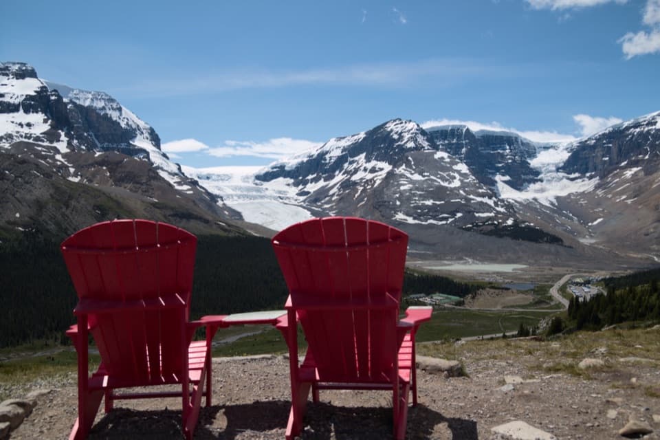 ModerateWilcox Pass Red Chairs Trail3.1 km · 1.3 hr · 3.3 km awayA steep climb ends at red chairs above three glaciers.
 EasyBoundary Lake Trail2 km · 1 hr · 5 km awayA faint route leads to a turquoise lake beneath Mount Athabasca.
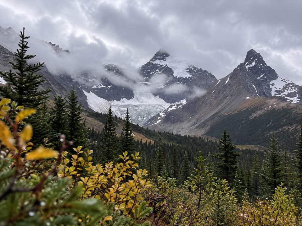 ModerateHilda Creek to Hilda Glacier5 km · 2.5 hr · 7.4 km awayAn unmarked creek climb to Hilda Glacier's moraine flats.
 ModerateParker Ridge Trail5.6 km · 2.5 hr · 8.3 km awayA steady switchback climb ends with Saskatchewan Glacier in front of you.
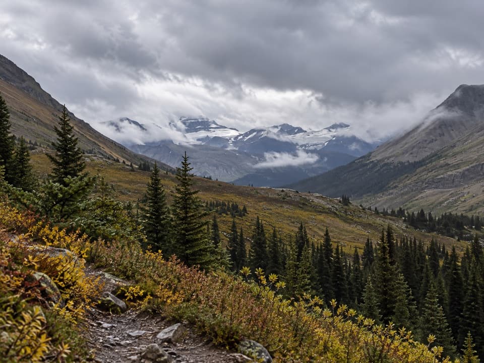 ModerateNigel Pass Trail16.8 km · 5 hr · 11.5 km awayA wide alpine pass rewards a steady walk up Nigel Creek.
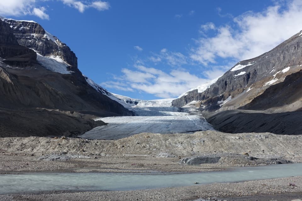 Sight · 0.6 km awayAthabasca GlacierWalk the moraine for a close glacier view; stay behind barriers.
 Campground · 0.9 km awayIcefields Centre RV CampgroundA 100-site dry camp with Athabasca Glacier in view.
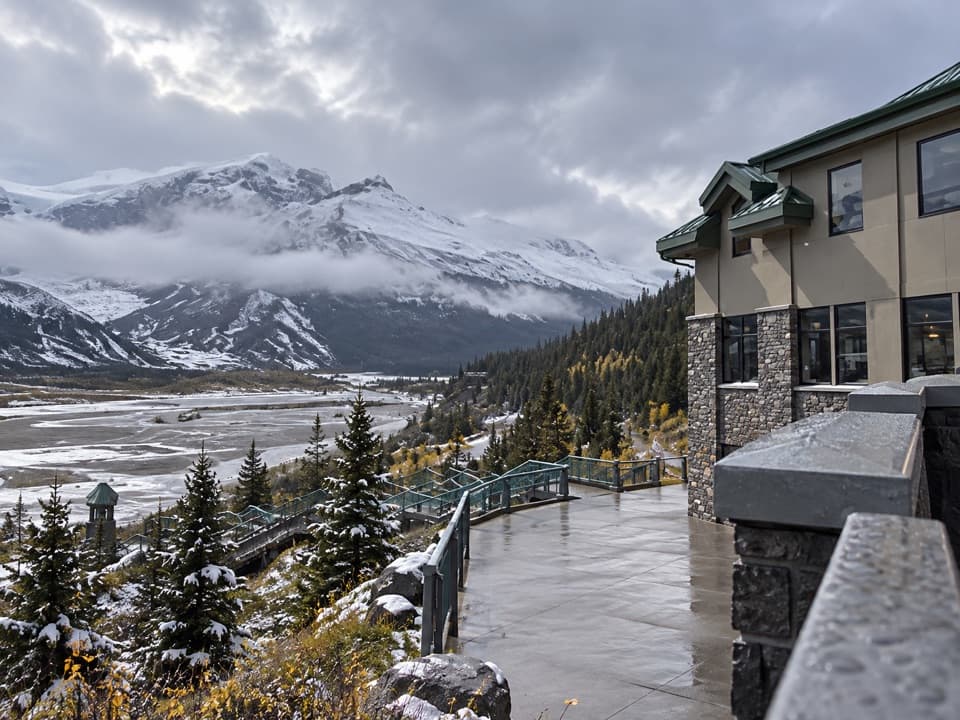 Lodging · 1 km awayGlacier View LodgeA seasonal lodge with glacier views at the Columbia Icefield.
 Visitor center · 1.1 km awayColumbia Icefield Discovery CentreA warm indoor stop facing the Athabasca Glacier.
 Campground · 2.1 km awayIcefield Tent CampgroundA rustic tent camp with glacier views from many sites.
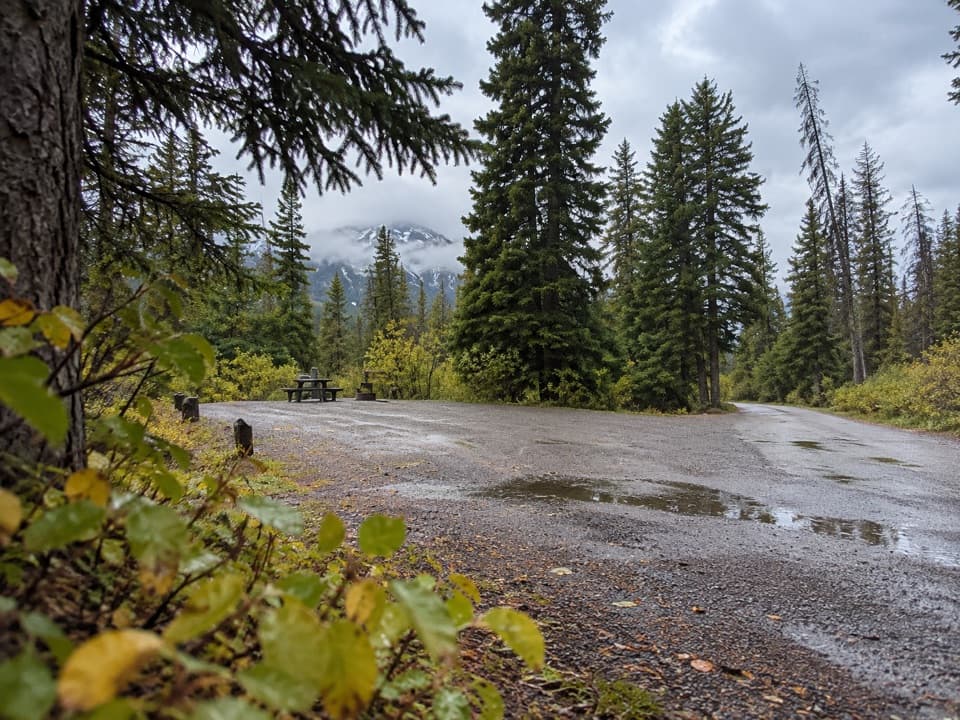 Campground · 4 km awayWilcox Creek CampgroundA wooded mountain camp beside the Wilcox Pass trailhead.
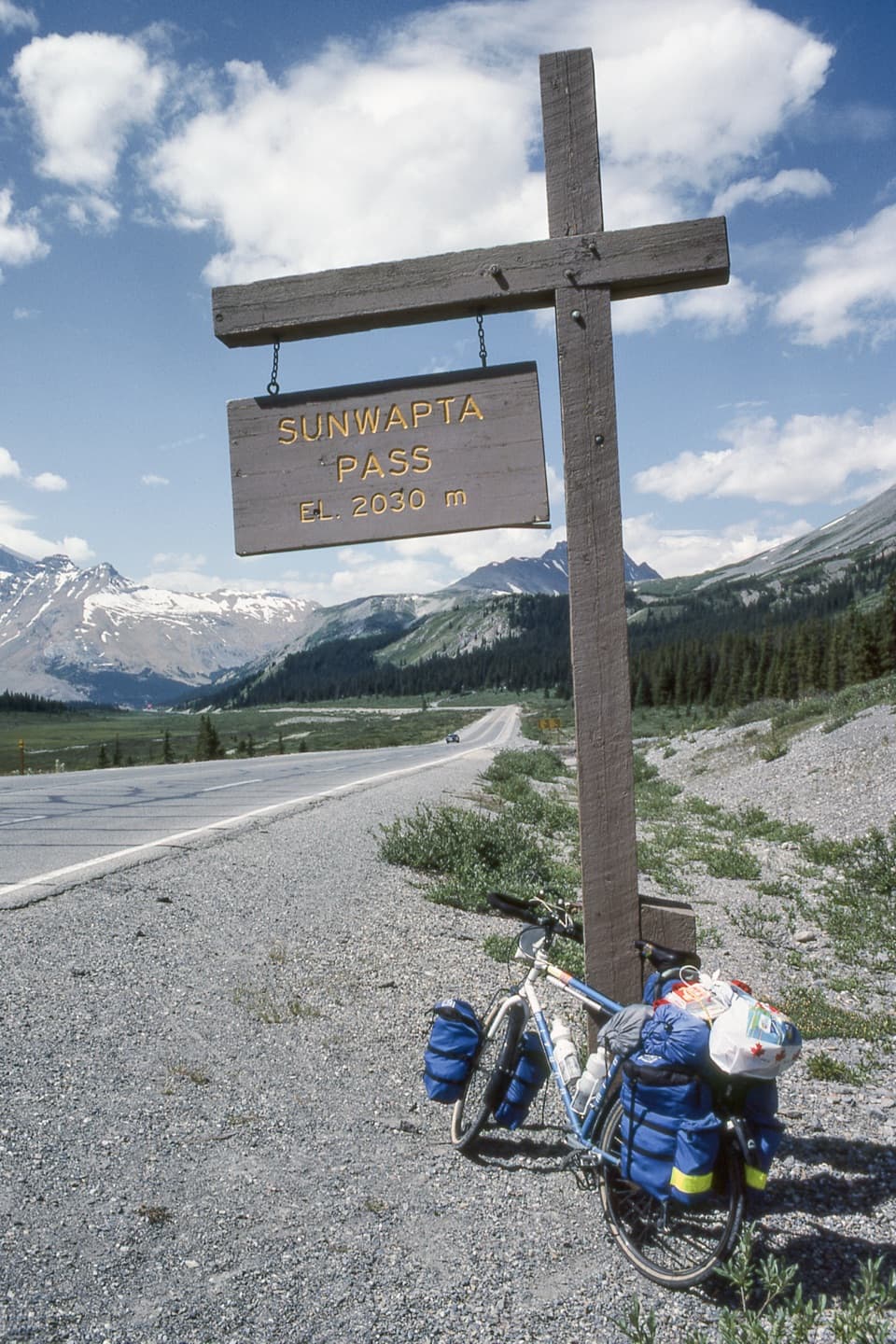 Scenic pullout · 5 km awaySunwapta Pass ViewpointA quick pullout at the continental divide with sweeping alpine views.
 Sight · 5.9 km awayColumbia Icefield SkywalkA kilometre-long walk to a glass platform over Sunwapta Valley.
Parkwolf’s Icefields Parkway ranking
The audio tour guide for the drive, plus offline maps, trails, and wildlife heatmaps for when the signal drops.



