Parking
Start at the bushwalking trailhead in the Wilpena Visitor Centre complex; use the visitor-centre parking area.
#7 of 21 trails in Ikara-Flinders Ranges
Ikara-Flinders Ranges National Park, SA
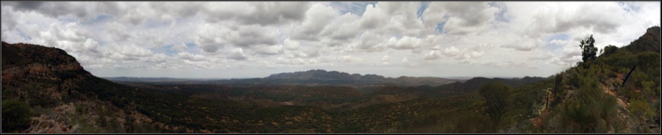
Cross Wilpena Pound to a gap with three ranges on the horizon.
Overview
Map & elevation
Plan your hike

The highest, rockiest slopes around here are a summer buffet for grizzly bears.
Ikara-Flinders Ranges Tour Guide
Parkwolf is a GPS audio tour guide for Ikara-Flinders Ranges National Park. As you drive, it chimes in with what’s ahead: hidden gems, upcoming stops, history, geology, and wildlife, right through your car’s speakers.
Recorded for this area
Wilpena Visitor Centre and Resort“You're coming up on the Wilpena visitor centre and resort precinct, the practical base for exploring the Pound.”
Plays on the road 0.4 km from the trailhead in the Parkwolf Ikara-Flinders Ranges Tour Guide.
More stories near here in the app
“Fantastic app with many points of information… It’s great to just turn on while you’re driving and it gives you an audio tour of the national Park. We love it!!!!”


Trail guide
Bridle Gap Hike is an 18.8 km return walk from the Wilpena Visitor Centre bushwalking trailhead to a gap on Wilpena Pound’s south-western rim and back. Allow about six hours. The route enters through Pound Gap, passes Hills Homestead and crosses the basin floor to Bridle Gap, then returns by the same corridor. This is the full out-and-back distance, not the one-way length of the section. It is the day walk for people who want to cross the Pound rather than climb straight to one of its peaks. It is a Grade 3 moderate hike with undulating terrain; the main commitment is the length, not constant steep climbing.
The first stretch reaches Pound Gap, where the path passes between the sides of the pass. Sliding Rock is a named landmark here. Beyond the gap, the route opens across the Pound floor, with the rim walls rising around a broad basin. Wilpena Pound is a natural rock formation shaped by millions of years of erosion, so its scale becomes clearer when you are walking beneath those enclosing ranges rather than viewing them from outside.
Hills Homestead makes a worthwhile pause in the middle of the crossing. Interpretation there recounts past struggles and station life. After the homestead, the track keeps going over the floor through mallee, native pine and heath. Watch for wrens, robins, parrots and raptors among those habitats. Much of the crossing undulates instead of climbing continuously, but expect rougher ground and a rocky, sometimes muddy section on the climb toward Bridle Gap. Wet footing can slow an already long return.
Bridle Gap sits on the south-western escarpment edge. From there the view reaches the Elder Range and turns toward the Chace and Druid Ranges. Give this end of the walk time: it is the destination that makes the cross-Pound mileage feel worthwhile. For a photo, include the lip of the gap with a range beyond it; that shows both the opening and the scale of the view.
The route shares part of the Heysen Trail, but this itinerary is the return from Wilpena. It is different from the western approach via Black Gap and from the separate point-to-point Heysen section that starts on Moralana Scenic Drive.
Start at the bushwalking trailhead in the Wilpena Visitor Centre complex and allow six hours plus stops. For a shorter taste, walk as far as Hills Homestead and return from there; the full distance requires continuing across the Pound. Treat the crossing as self-supported: carry water and lunch, as there are no food or water stops along the route. The visitor-centre and resort facilities are back at Wilpena; the resort’s store, bar, restaurant and toilets are a separate stop, not services midway through the walk.
The park lists this trail as closed in December, January and February, so plan outside those months. Dogs are not permitted anywhere in the national park.
Wildlife
 68 sightingsWedge-tailed EagleMost seen around 10 AMSighting map
 104 sightingsShort-beaked EchidnaMost seen around 6 PMSighting map
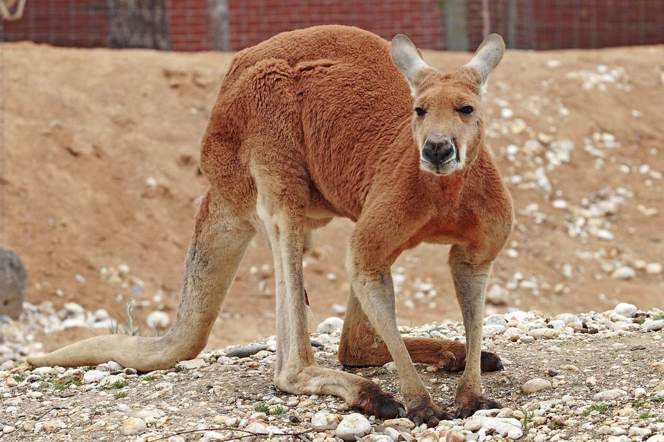 64 sightingsRed KangarooMost seen around 5 PMSighting map
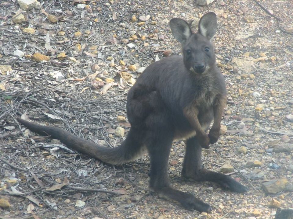 219 sightingsCommon WallarooMost seen around 6 PMSighting map
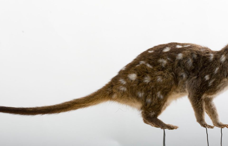 55 sightingsWestern QuollMost seen around 6 PMSighting map
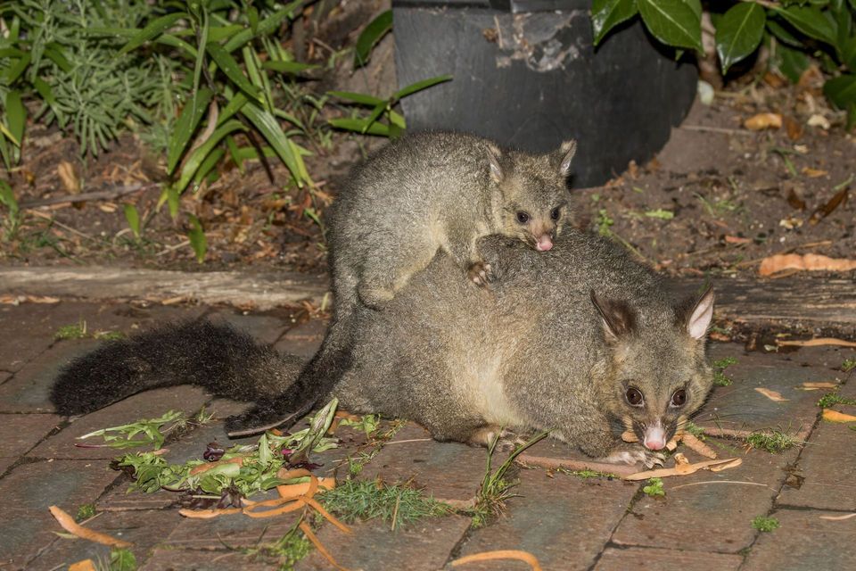 47 sightingsCommon Brushtail PossumMost seen around 6 PMSighting map
Sighting maps show where each species has been reported across Ikara-Flinders Ranges. Wildlife moves, so no sighting is guaranteed.
Keep exploring
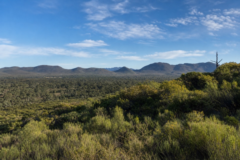 ModerateWangara Lookout Hike7.8 km · 3.5 hr · At the trailheadA shaded creek walk earns a steep climb to Wilpena Pound views.
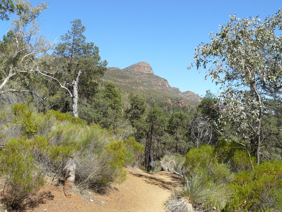 ChallengingSt Mary Peak Loop – Ngarri Mudlanha21.5 km · 9 hr · At the trailheadA full-day loop on both approaches to St Mary Peak.
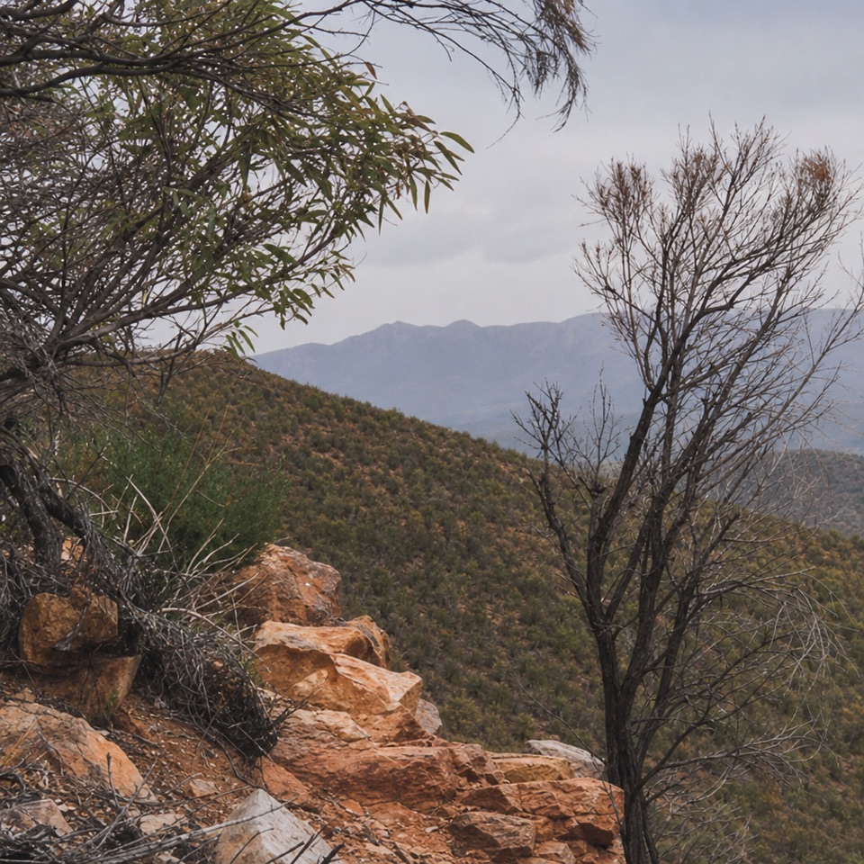 ChallengingMalloga Falls Hike23.2 km · 9 hr · At the trailheadA full day across the Pound to Edeowie's usually dry twin falls.ChallengingSt Mary Peak Hike – Ngarri Mudlanha (Outside Trail to Tanderra Saddle)11.7 km · 5 hr · At the trailheadA demanding walk to Tanderra Saddle below St Mary Peak.
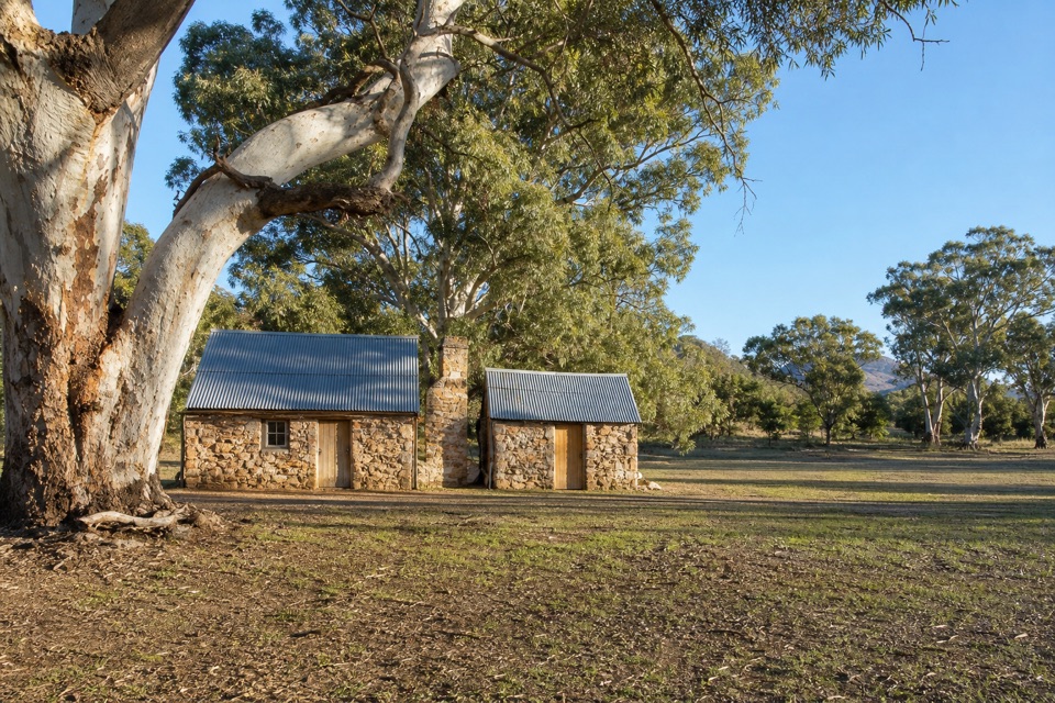 EasyHills Homestead Walk6.6 km · 2 hr · At the trailheadA shady creek walk to a restored stone homestead inside the Pound.
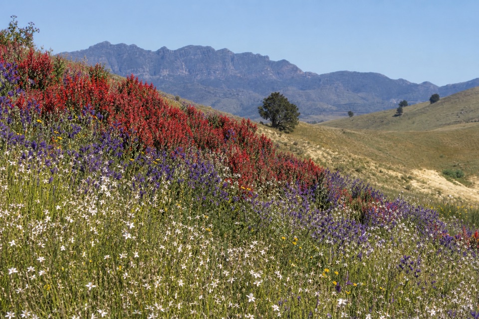 ModerateHeysen Trail Section 58: Wilpena to Bunyeroo19.2 km · 5.5 hr · At the trailheadCross a wooded valley, climb the ABC Range, and finish in Bunyeroo.
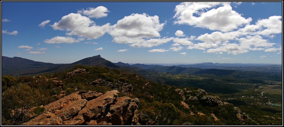 ChallengingMount Ohlssen Bagge Hike7.2 km · 4 hr · At the trailheadA steep ridge climb with wide views across Wilpena Pound.
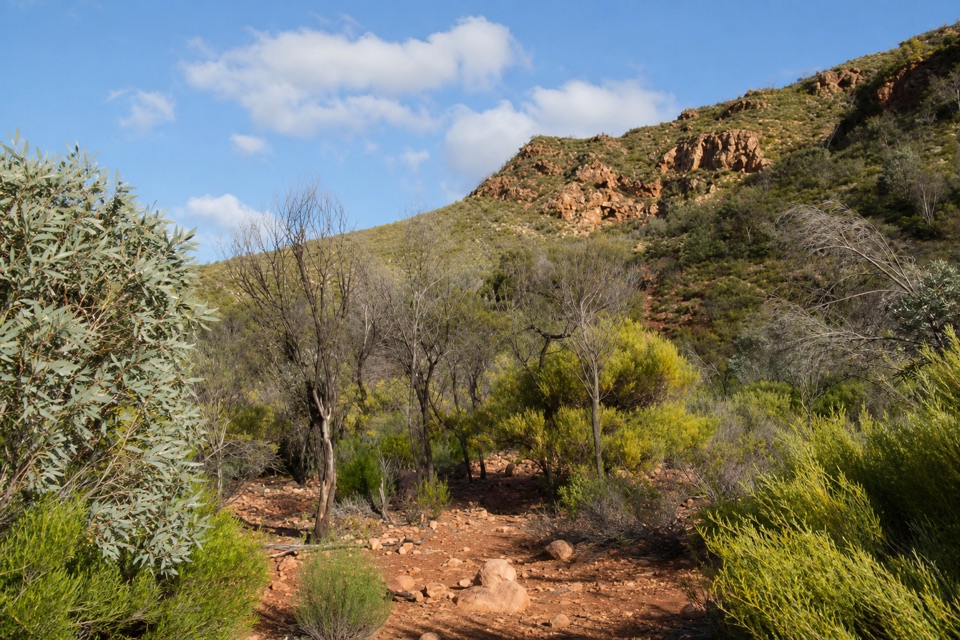 ModerateBoom and Bust Hike2 km · 1.5 hr · 1 km awayA short loop that makes drought and recovery easy to read.
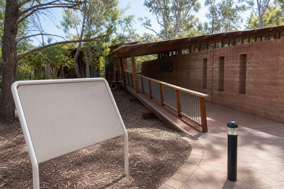 Visitor center · At the trailheadWilpena Pound Visitor Information CentreGet park advice and arrange resort bookings before the Pound walks.
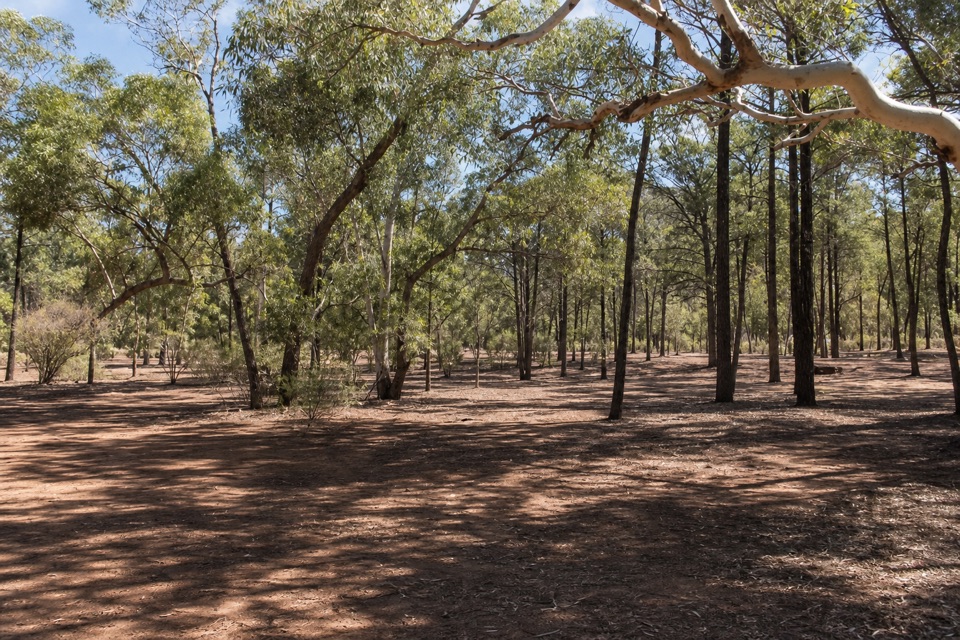 Campground · 0.3 km awayWilpena Pound CampgroundSleep under trees, then come back to showers and dinner.
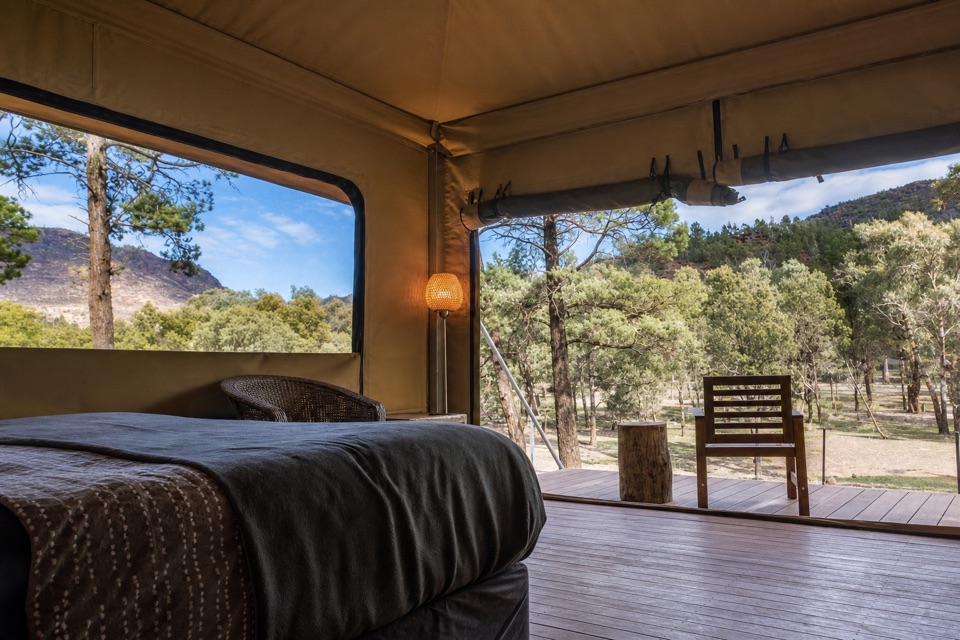 Lodging · 0.4 km awayWilpena Pound ResortStay inside the park, with a bed, meal and supplies here.
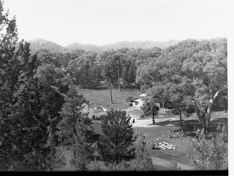 Sight · 1.8 km awayOld Wilpena Station Historic PrecinctA pastoral station's story, spread across an easy heritage walk.Sight · 2 km awayMount Ohlssen BaggeA tough climb earns wide views across Wilpena Pound.
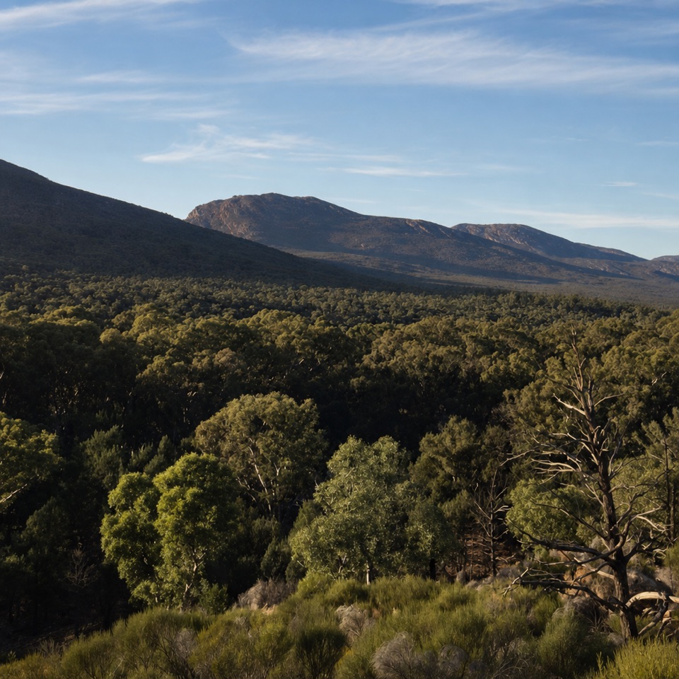 Sight · 2.5 km awayWangara LookoutKeep going for the broad view inside Wilpena Pound.
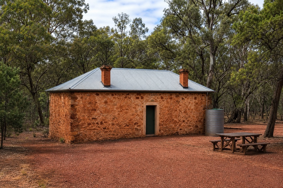 Sight · 2.7 km awayHills HomesteadA restored stone cottage tells the story of farming inside the Pound.
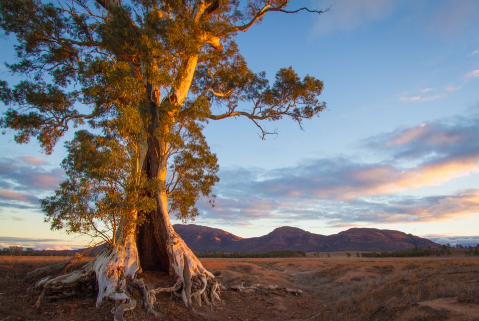 Sight · 3.2 km awayCazneaux TreeA hollow red gum made famous in Cazneaux’s 1937 photographs.
Parkwolf’s Ikara-Flinders Ranges ranking
St Mary Peak Hike – Ngarri Mudlanha (Outside Trail to Tanderra Saddle)Challenging · 11.7 kmWangara Lookout HikeModerate · 7.8 kmSt Mary Peak Loop – Ngarri MudlanhaChallenging · 21.5 kmMount Ohlssen Bagge HikeChallenging · 7.2 km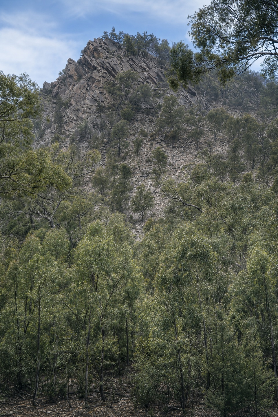 Bunyeroo Gorge HikeModerate · 7.5 kmHills Homestead WalkEasy · 6.6 km
The audio tour guide for the drive, plus offline maps, trails, and wildlife heatmaps for when the signal drops.