Parking
Start at the Wilpena Pound Visitor Centre; trail access and parking are in the visitor-centre area. A park vehicle entry pass is required.
#3 of 21 trails in Ikara-Flinders Ranges
Ikara-Flinders Ranges National Park, SA
A full-day loop on both approaches to St Mary Peak.
Overview
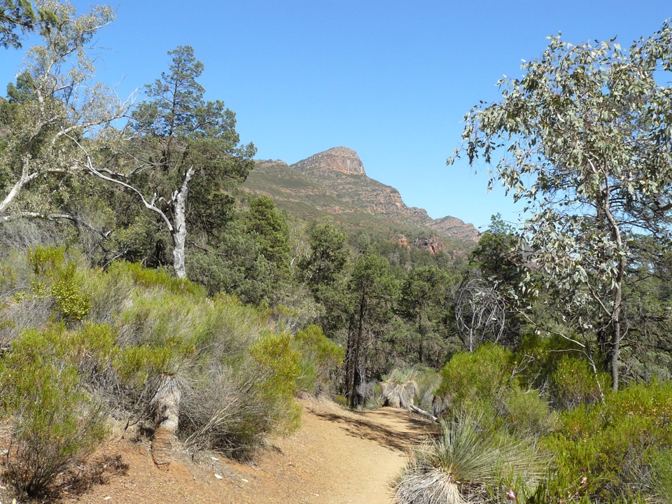
St Mary Peak Hike – Ngarri Mudlanha is a 21.5 km (13.4 mile) circuit from the Wilpena Pound Visitor Centre, linking the Outside and Inside trails and taking about nine hours. The full mapped route includes the summit spur from Tanderra Saddle and back, then descends the other side into Wilpena Pound before returning to the visitor-centre area. At roughly 600 m of climbing, this is a full-day Grade 4 hike, not a quick add-on.
 Parkwolf’s verdictIs this the hike for you?
Map & elevation
Plan your hike

The highest, rockiest slopes around here are a summer buffet for grizzly bears.
Ikara-Flinders Ranges Tour Guide
Parkwolf is a GPS audio tour guide for Ikara-Flinders Ranges National Park. As you drive, it chimes in with what’s ahead: hidden gems, upcoming stops, history, geology, and wildlife, right through your car’s speakers.
Recorded for this trailhead
Ngarri Mudlanha and Tanderra Saddle“You're approaching the access for Ngarri Mudlanha, also called St Mary Peak. The Adnyamathanha people ask visitors to leave its culturally important summit unclimbed, so make Tanderra Saddle your goal.”
Plays as you drive up to this trailhead in the Parkwolf Ikara-Flinders Ranges Tour Guide.
More stories near here in the app
“Fantastic app with many points of information… It’s great to just turn on while you’re driving and it gives you an audio tour of the national Park. We love it!!!!”


Trail guide
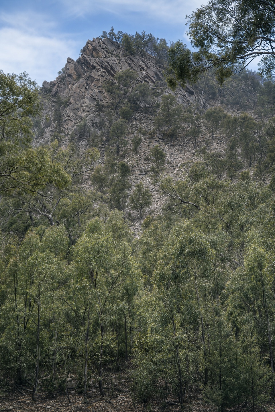
From the visitor-centre and resort area, the first roughly four kilometres pass through shady woodland on an easy, mostly rolling track. That is the calm start before the route turns onto open scrub and climbs more sharply. Loose red sand, rock and rubble slow your steps; there are several short scrambles, and the approach to Tanderra has a brief exposed move. Save energy for the rough upper ground and the long descent; the climb is harder than the first kilometres suggest.
Tanderra Saddle is a useful rest point, with views over Wilpena Pound and the surrounding ridges. The peak lies about 1.5 km farther along the route; getting there means steep boulder steps, followed by the same spur back to the saddle. The top is an open rocky plateau with views toward Lake Torrens and the northern ranges. If you continue to the saddle-side ledges, frame their foreground rock against the Pound for a wider view that shows how the bowl sits within the ridges.
The Inside Trail starts with a narrow, rocky descent and uneven steps. For several kilometres, you can see mountains on both sides; then the path reaches the Pound floor and the mood changes to shaded woodland and flatter walking. The route account describes about 3.5 km of descending before this easier section. Near Hills Homestead, the stone house and interpretive panels tell the story of the Hills sheep-farming family, who built it in 1888; visitors cannot enter the building.
From the homestead area, the marked track network follows Top Track and Pound Gap back toward the visitor-centre side of Wilpena. The final kilometres are easier underfoot, but they arrive after a long day, so keep a steady pace rather than spending all your energy on the summit spur.
Use the Wilpena Pound Visitor Centre as the start and parking base. The visitor area has an information office; the nearby resort restaurant and bar are a separate stop, not food on the trail. Ranger guidance is to leave no later than 9 am, or 10 am during daylight saving, for this nine-hour outing. The trail has a recurring seasonal closure from 30 November to 1 March and also closes on Catastrophic Fire Danger days. Dogs are not permitted in the park. Loose rock and the exposed upper climb make this a hard day, especially on the return.
Adnyamathanha people regard St Mary Peak as central to a creation story and prefer visitors not to climb beyond Tanderra Saddle. The saddle itself has wide ridge views; stopping there skips the roughly 3 km summit out-and-back while the Inside Trail still completes a circuit. A separate direct option goes to the saddle and returns the same way in about 14.6 km and six hours. That route is shorter, but it does not make the loop.
Wildlife
 68 sightingsWedge-tailed EagleMost seen around 10 AMSighting map
 104 sightingsShort-beaked EchidnaMost seen around 6 PMSighting map
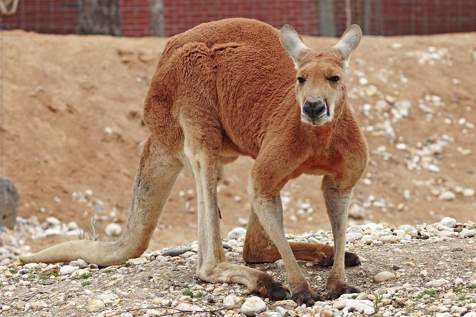 64 sightingsRed KangarooMost seen around 5 PMSighting map
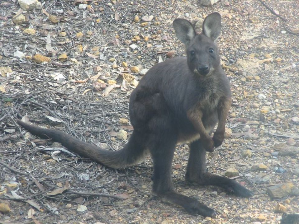 219 sightingsCommon WallarooMost seen around 6 PMSighting map
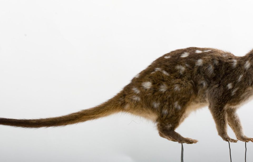 55 sightingsWestern QuollMost seen around 6 PMSighting map
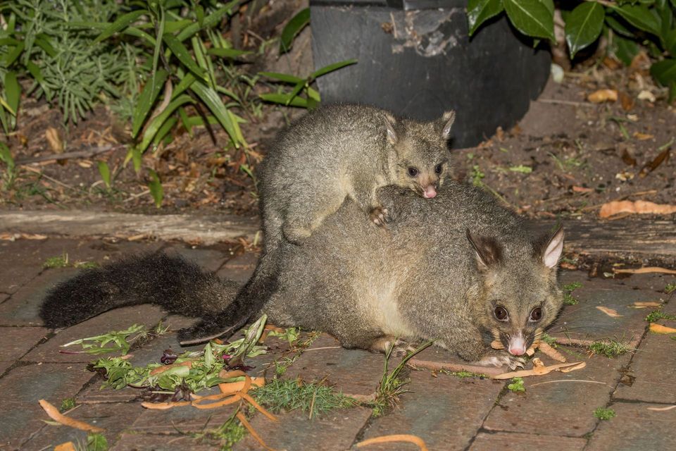 47 sightingsCommon Brushtail PossumMost seen around 6 PMSighting map
Sighting maps show where each species has been reported across Ikara-Flinders Ranges. Wildlife moves, so no sighting is guaranteed.
Keep exploring
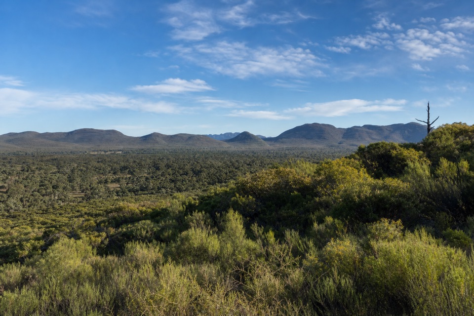 ModerateWangara Lookout Hike7.8 km · 3.5 hr · At the trailheadA shaded creek walk earns a steep climb to Wilpena Pound views.
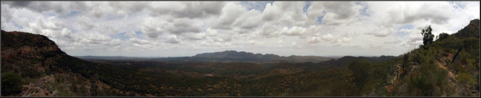 ModerateBridle Gap Hike18.8 km · 6 hr · At the trailheadCross Wilpena Pound to a gap with three ranges on the horizon.
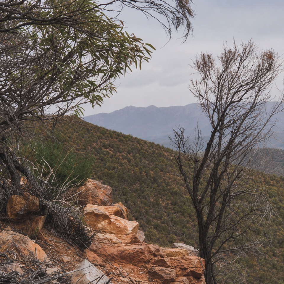 ChallengingMalloga Falls Hike23.2 km · 9 hr · At the trailheadA full day across the Pound to Edeowie's usually dry twin falls.ChallengingSt Mary Peak Hike – Ngarri Mudlanha (Outside Trail to Tanderra Saddle)11.7 km · 5 hr · At the trailheadA demanding walk to Tanderra Saddle below St Mary Peak.
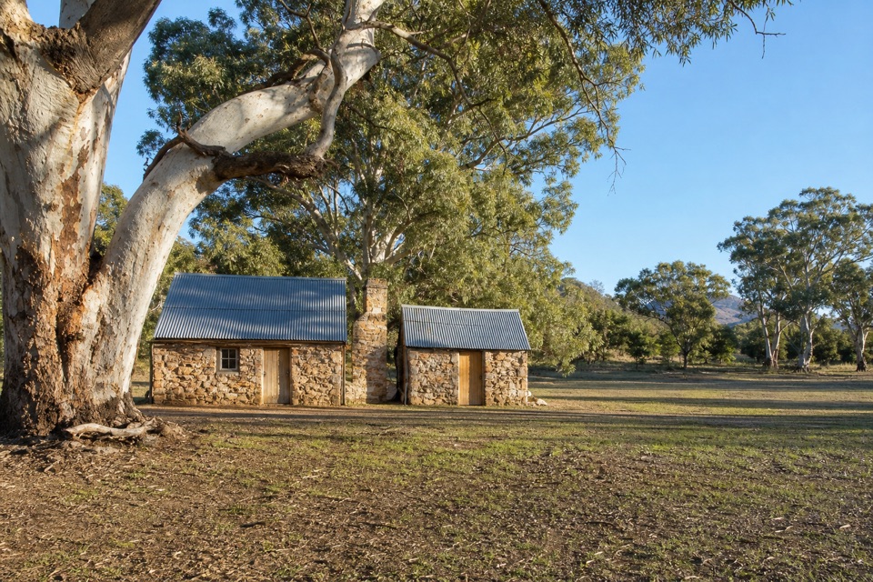 EasyHills Homestead Walk6.6 km · 2 hr · At the trailheadA shady creek walk to a restored stone homestead inside the Pound.
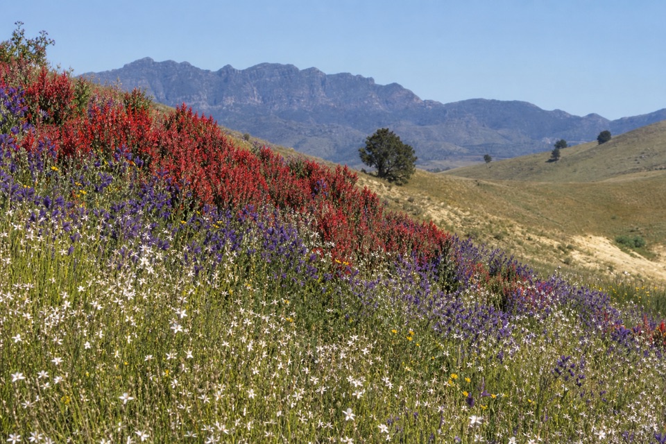 ModerateHeysen Trail Section 58: Wilpena to Bunyeroo19.2 km · 5.5 hr · At the trailheadCross a wooded valley, climb the ABC Range, and finish in Bunyeroo.
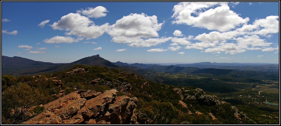 ChallengingMount Ohlssen Bagge Hike7.2 km · 4 hr · At the trailheadA steep ridge climb with wide views across Wilpena Pound.
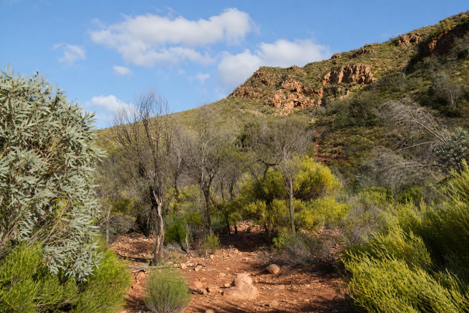 ModerateBoom and Bust Hike2 km · 1.5 hr · 1 km awayA short loop that makes drought and recovery easy to read.
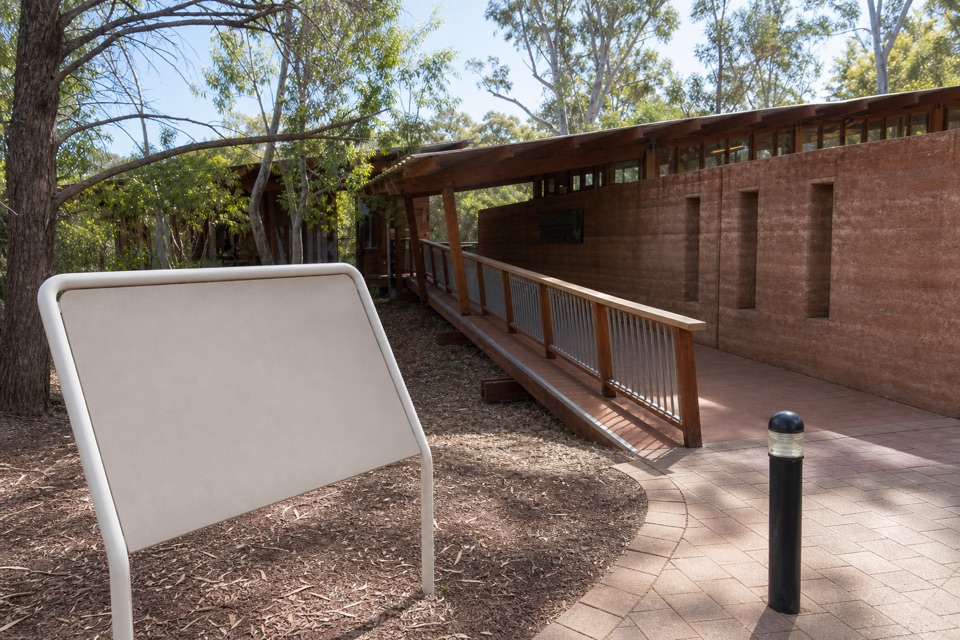 Visitor center · At the trailheadWilpena Pound Visitor Information CentreGet park advice and arrange resort bookings before the Pound walks.
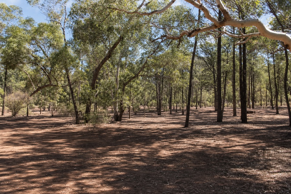 Campground · 0.3 km awayWilpena Pound CampgroundSleep under trees, then come back to showers and dinner.
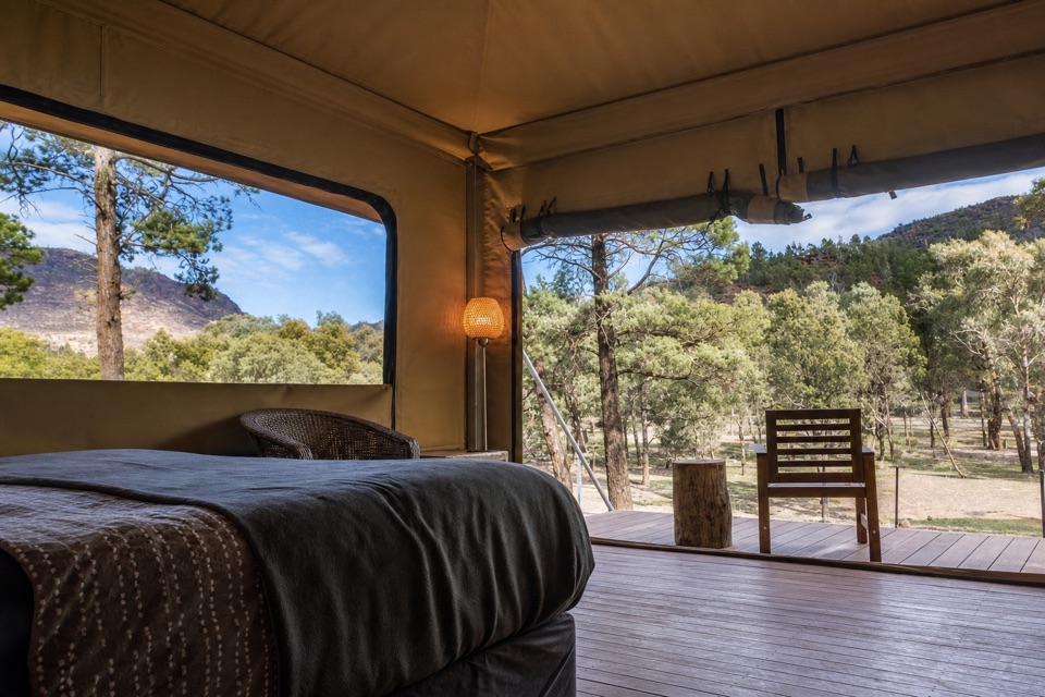 Lodging · 0.4 km awayWilpena Pound ResortStay inside the park, with a bed, meal and supplies here.
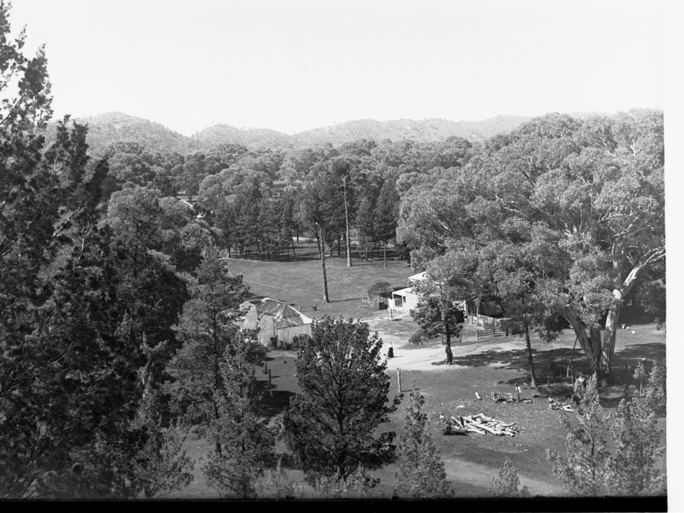 Sight · 1.8 km awayOld Wilpena Station Historic PrecinctA pastoral station's story, spread across an easy heritage walk.Sight · 2 km awayMount Ohlssen BaggeA tough climb earns wide views across Wilpena Pound.
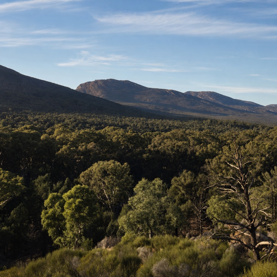 Sight · 2.5 km awayWangara LookoutKeep going for the broad view inside Wilpena Pound.
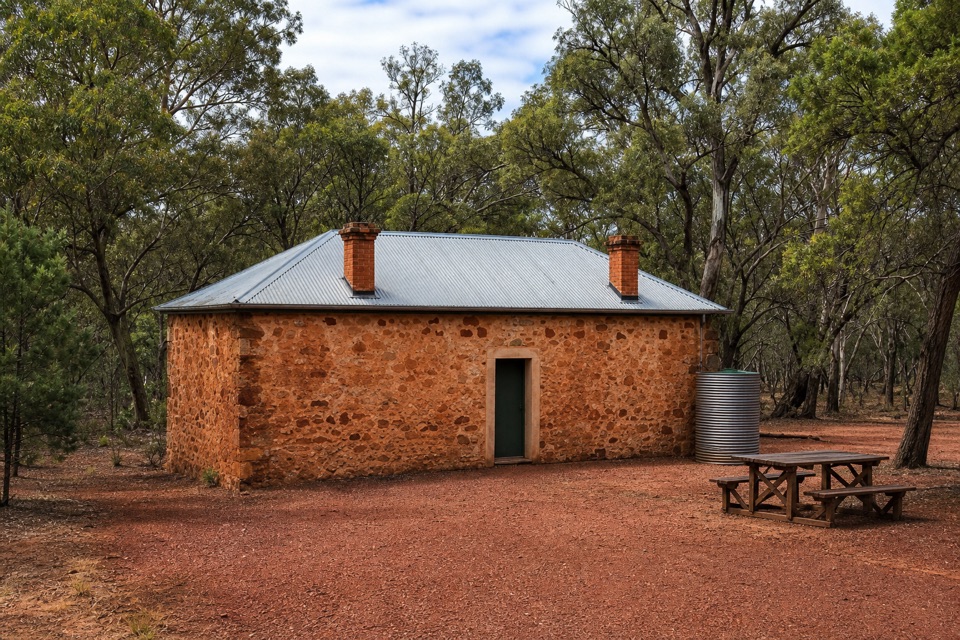 Sight · 2.7 km awayHills HomesteadA restored stone cottage tells the story of farming inside the Pound.
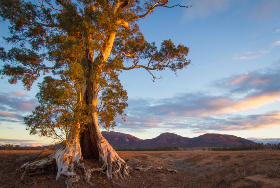 Sight · 3.2 km awayCazneaux TreeA hollow red gum made famous in Cazneaux’s 1937 photographs.
Parkwolf’s Ikara-Flinders Ranges ranking
The audio tour guide for the drive, plus offline maps, trails, and wildlife heatmaps for when the signal drops.