Heysen Trail Section 58: Wilpena to Bunyeroo in Ikara-Flinders Ranges National Park

Ikara-Flinders Ranges National Park, SA

Heysen Trail Section 58: Wilpena to Bunyeroo

Cross a wooded valley, climb the ABC Range, and finish in Bunyeroo.

Length
19.2km
Time
5.5hr
Elev. change
246m
Difficulty
Moderate
  • No dogs
  • High point 570 m

Hear the audio tour

Wilpena Visitor Centre and Resort

Overview

About Heysen Trail Section 58: Wilpena to Bunyeroo

Why go

  • A striking change from the Wilcolo valley track to an exposed range ridge.
  • A 360-degree panorama from Bunyeroo Viewpoint.

Heads up

  • Roughly 10 km follows a broad dirt vehicle track.
  • One-way logistics and the Bunyeroo pickup point need advance planning.

Map & elevation

The route

Loading the Ikara-Flinders Ranges map
Full map
Elevation324–570 m
TrailheadWilpena (Heysen Trail Section 58 start)-31.52676, 138.60620
Keep this map with you offline in the Parkwolf app

Plan your hike

Before you go

Parking

Start at the official Wilpena waypoint near the Wilpena Pound Resort area. This is a one-way route ending toward Bunyeroo; confirm the exact pickup before setting out. The published Bunyeroo waypoint is about 500 m from the mapped trail handoff, and parking there is not confirmed.

Safety

The ABC Range ridge is exposed and can be windy. This 19.24 km one-way walk has no verified water or toilet resupply; do not assume services. Dogs are prohibited in the national park; assistance dogs must meet park rules.

3 active Ikara-Flinders Ranges alerts

  • ClosureBunyeroo Gorge closed after heavy-rain damageBunyeroo Gorge on Bunyeroo Gorge Road remains closed because recent heavy rains caused damage and repair works are pending.Official details
  • ClosureNightly closures on multiple walking trailsTwelve walking tracks and trails close nightly through 31 October 2026 for pest control operations.Official details
See all 3 alerts
A park ranger sits on a dash-mounted phone, talking, as Parkwolf’s Tour Guide plays “Army Cutworm Moths: A Grizzly Bear Buffet” on Grand Loop Road below Dunraven Pass in Yellowstone
Parkwolf Tour GuideThe highest, rockiest slopes around here are a summer buffet for grizzly bears.

Ikara-Flinders Ranges Tour Guide

Your drive to Heysen Trail Section 58: Wilpena to Bunyeroo, narrated.

Parkwolf is a GPS audio tour guide for Ikara-Flinders Ranges National Park. As you drive, it chimes in with what’s ahead: hidden gems, upcoming stops, history, geology, and wildlife, right through your car’s speakers.

Recorded for this area

Wilpena Visitor Centre and Resort
0:00 / 0:31
“You're coming up on the Wilpena visitor centre and resort precinct, the practical base for exploring the Pound.”

Plays on the road 0.4 km from the trailhead in the Parkwolf Ikara-Flinders Ranges Tour Guide.

More stories near here in the app

  • Inside Ikara Wilpena Pound
  • Ngarri Mudlanha and Tanderra Saddle
  • Cazneaux's Reversed View
  • The Trees That Trace Water
  • 49 audio storiesacross Ikara-Flinders Ranges’s roads, triggered by GPS as you drive
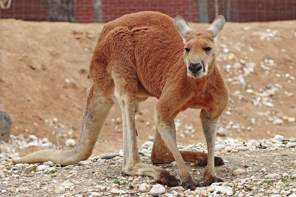
  • Wildlife heatmapsfor Wedge-tailed Eagle, Short-beaked Echidna, Red Kangaroo, and 13 more
  • Works offlinemaps, 21 trails, 43 places, and audio download before you lose signal
  • CarPlay readysimple controls built for the drive
★★★★★
“Fantastic app with many points of information… It’s great to just turn on while you’re driving and it gives you an audio tour of the national Park. We love it!!!!”
JMJamesApp Store review
Download Parkwolf on the App StoreGet Parkwolf on Google Play

4.7 from 8,600+ ratings

Trail guide

Hiking Heysen Trail Section 58: Wilpena to Bunyeroo

A long walk from Wilpena to BunyerooThis is Section 58 of the Heysen Trail, a 19.24 km (11.

This is Section 58 of the Heysen Trail, a 19.24 km (11.96 mi) point-to-point crossing of Ikara–Flinders Ranges National Park. It runs one way from Wilpena to Bunyeroo and takes about 5 to 5.5 hours of walking. Plan for transport as well as walking: this route does not return to Wilpena. You move from the open edge of Wilpena Pound through the Wilcolo Valley, climb over the ABC Range and descend to Bunyeroo. The appeal is the shift from grassy foothills and creek corridor to a high ridge with broad views across the ranges. The nearby 9.2 km Bunyeroo and Wilcolo Creeks circuit is a separate, shorter hike.

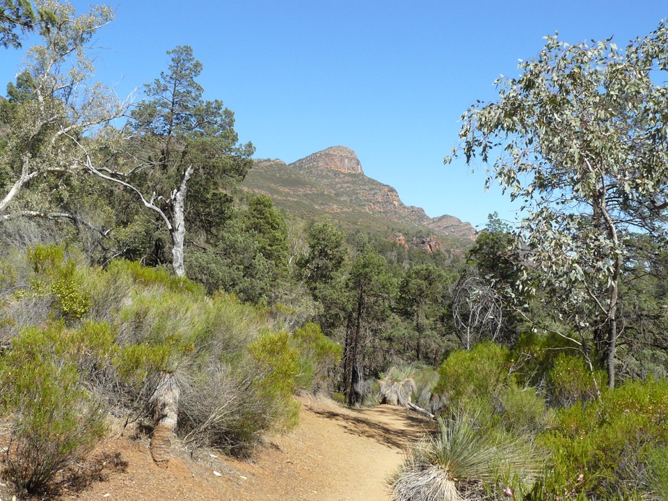
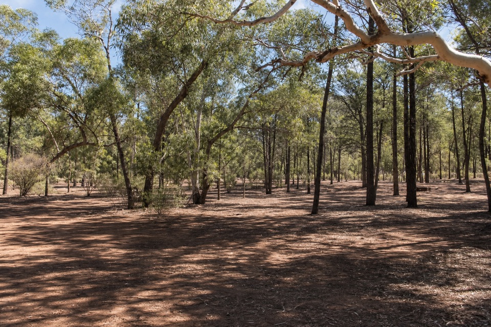
Out of WilpenaFrom the Wilpena start, the track crosses open grassland before threading cypress-pine woodland.

From the Wilpena start, the track crosses open grassland before threading cypress-pine woodland. Gaps in the trees show the steep walls of Wilpena Pound and, at times, St Mary's Peak to the west. The route initially bends around Wilpena Creek; a walker reported taking the wrong bank at the start before correcting to the trail markers. Check for the Heysen markers as you leave the resort area rather than following the creek at random. This first stretch is a broad walk through low scrub, with a more open feel than the later ridge.

Wilcolo Valley and the climbFor roughly 10 km, the section follows a wide dirt vehicle track down Wilcolo Valley between…

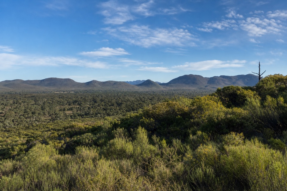
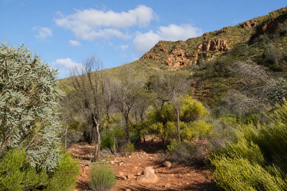
For roughly 10 km, the section follows a wide dirt vehicle track down Wilcolo Valley between the rocky Heysen Range and the lower, rounded ABC Range. Red gums, cypress-pine and side creeks break up the long track, but this is still the least varied walking underfoot; lower down, the surface becomes drier and flintier. If you want narrow single track for the whole hike, this broad middle is the tradeoff.

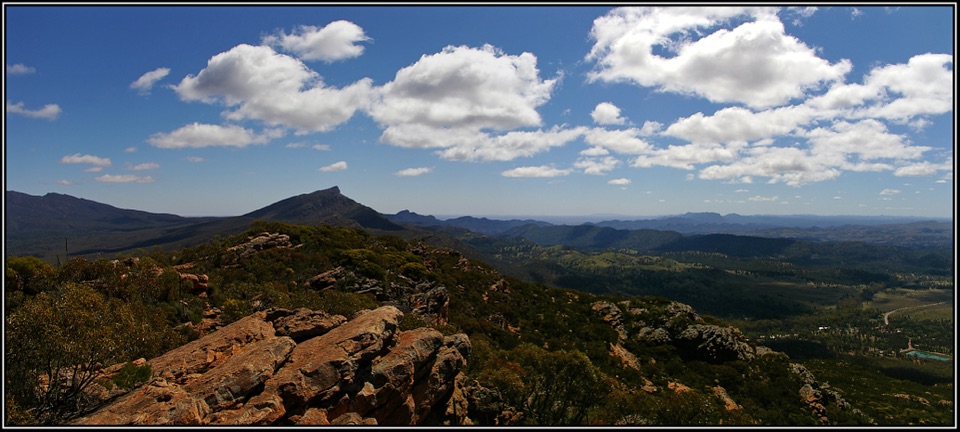
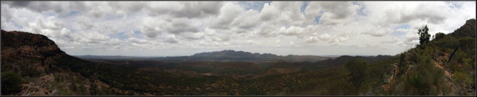
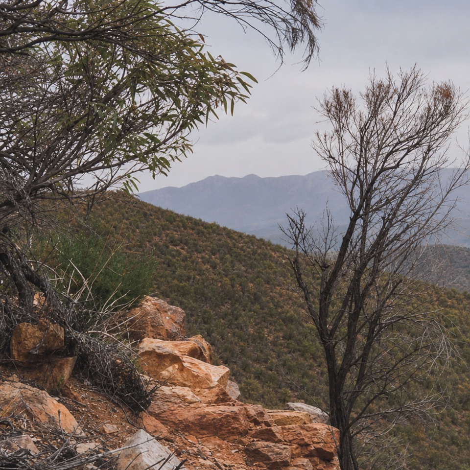
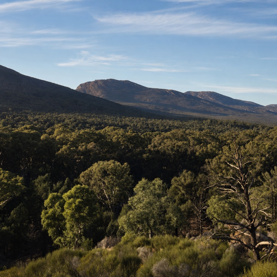
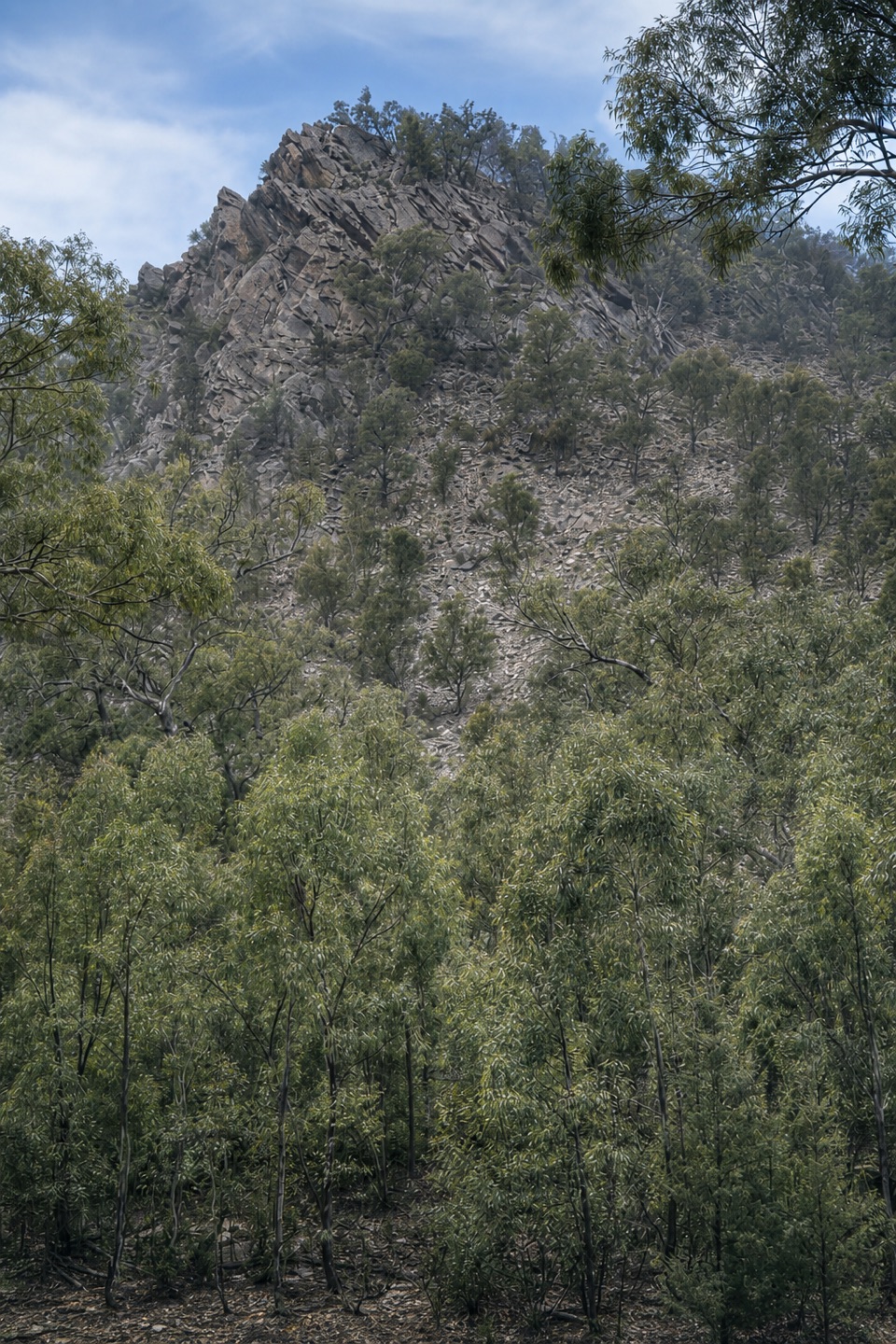
At the northern end of the valley, the route turns east onto marked footpath, passes through a short quartzite-walled gorge and begins a steady climb across the ABC Range. Views of the Heysen peaks widen as you climb. Bunyeroo Viewpoint is a rounded dome on the ridge with a reported 360-degree panorama across the ranges. The ridge can feel windy and exposed; from the viewpoint, frame the dome edge with the layered Heysen and ABC Ranges beyond. The descent on the eastern side leads into Bunyeroo Valley, where the lower ground offers a more sheltered place to pause.

Plan the two endsThis is a one-way route, so arrange the return from Bunyeroo before setting out.

This is a one-way route, so arrange the return from Bunyeroo before setting out. The published Bunyeroo waypoint is about 500 m from the mapped trail's handoff to the next Heysen section; treat it as a location to confirm, not as a verified car park. Parking, a shuttle, water and toilets along this exact section were not established, so do not plan around an assumed resupply. Dogs are not allowed in the national park; assistance dogs are admitted under park rules.

Wildlife

Wildlife in Ikara-Flinders Ranges

All Ikara-Flinders Ranges wildlife maps

Sighting maps show where each species has been reported across Ikara-Flinders Ranges. Wildlife moves, so no sighting is guaranteed.

Keep exploring

Near Heysen Trail Section 58: Wilpena to Bunyeroo

See it all on the map

Trails that start nearby

Places near the trailhead

Parkwolf’s Ikara-Flinders Ranges ranking

Top-rated trails in Ikara-Flinders Ranges

All 21 trails
  1. 1St Mary Peak Hike – Ngarri Mudlanha (Outside Trail to Tanderra Saddle)Challenging · 11.7 km
  2. 2Wangara Lookout HikeModerate · 7.8 km
  3. 3St Mary Peak Loop – Ngarri MudlanhaChallenging · 21.5 km
  4. 4Mount Ohlssen Bagge HikeChallenging · 7.2 km
  5. 5Bunyeroo Gorge HikeModerate · 7.5 km
  6. 6Hills Homestead WalkEasy · 6.6 km

Take Parkwolf to Ikara-Flinders Ranges.

The audio tour guide for the drive, plus offline maps, trails, and wildlife heatmaps for when the signal drops.

4.7 from 8,600+ ratings

Download Parkwolf on the App StoreGet Parkwolf on Google Play