Overview
About Mount Ohlssen Bagge
Why stop
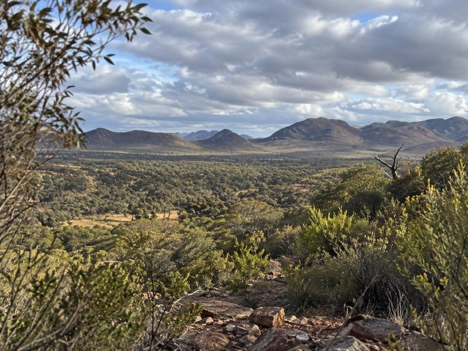
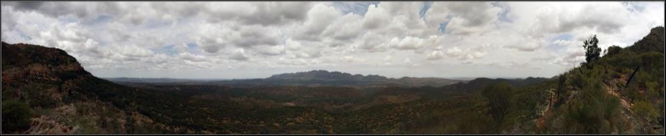
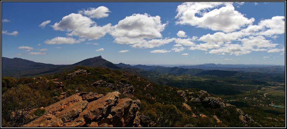
- Long summit ridge opens up broad views across Wilpena Pound.
Heads up
- Steep, rocky walking makes this a substantial half-day commitment.
Map
Where it is

The highest, rockiest slopes around here are a summer buffet for grizzly bears.
Ikara-Flinders Ranges Tour Guide
Your drive to Mount Ohlssen Bagge, narrated.
Parkwolf is a GPS audio tour guide for Ikara-Flinders Ranges National Park. As you drive, it chimes in with what’s ahead: hidden gems, upcoming stops, history, geology, and wildlife, right through your car’s speakers.
Recorded for this place
Ngarri Mudlanha and Tanderra Saddle“Up ahead is the access for Ngarri Mudlanha, also called St Mary Peak. Adnyamathanha people prefer visitors to leave its culturally important summit unclimbed; choose Tanderra Saddle for wide views over Wilpena Pound.”
Plays as you drive up to Mount Ohlssen Bagge in the Parkwolf Ikara-Flinders Ranges Tour Guide.
More stories near here in the app
- Wilpena Visitor Centre and Resort
- Inside Ikara Wilpena Pound
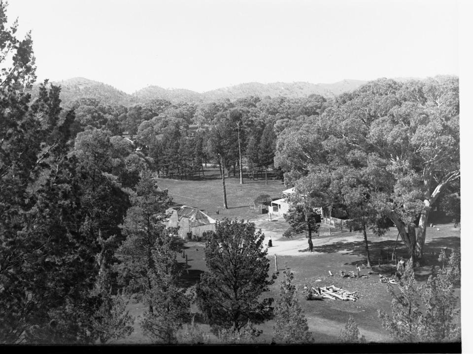
- Cazneaux's Reversed View
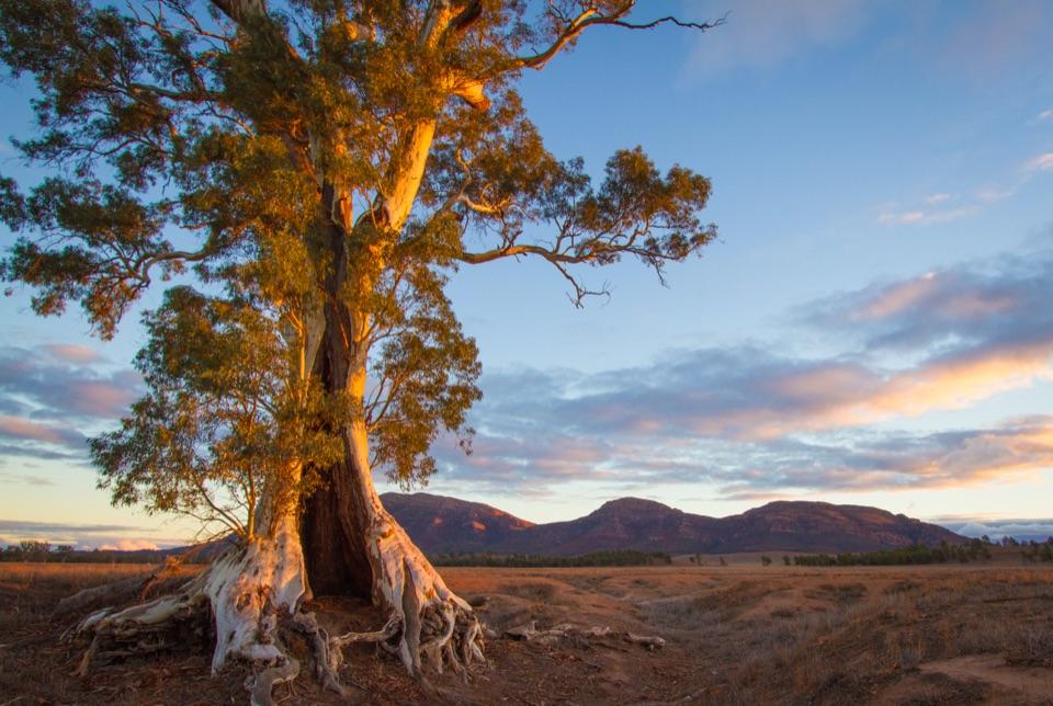
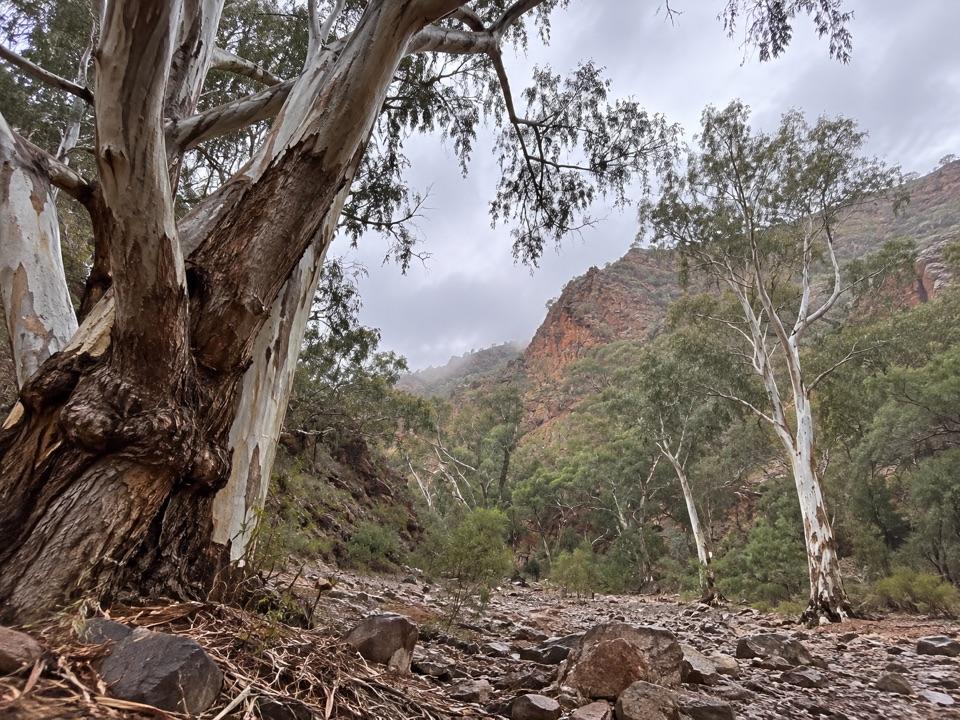
- The Trees That Trace Water
- 49 audio storiesacross Ikara-Flinders Ranges’s roads, triggered by GPS as you drive
- Wildlife heatmapsfor Wedge-tailed Eagle, Short-beaked Echidna, Red Kangaroo, and 13 more
- Works offlinemaps, 21 trails, 43 places, and audio download before you lose signal
- CarPlay readysimple controls built for the drive
“Fantastic app with many points of information… It’s great to just turn on while you’re driving and it gives you an audio tour of the national Park. We love it!!!!”


Guide
More about Mount Ohlssen Bagge
A proper climb for the viewMount Ohlssen Bagge is a rocky summit ridge above Wilpena Pound, reached by one of the park’s…
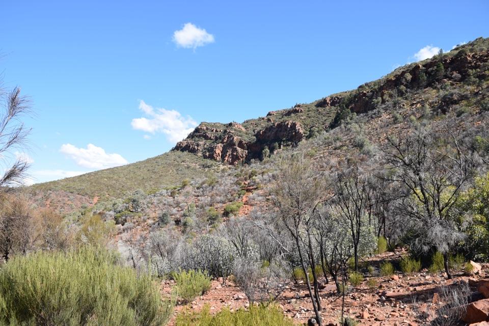
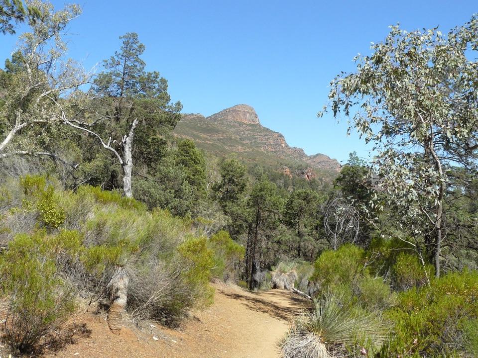
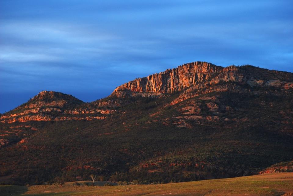
Mount Ohlssen Bagge is a rocky summit ridge above Wilpena Pound, reached by one of the park’s harder day walks. If you want a wide view over the Pound and surrounding ranges, this is a strong choice; if you want a quick lookout, it’s far too much climbing for a brief stop. From the Wilpena Visitor Centre trailhead, the route follows tracks beside Wilpena Creek into Pound Gap, then branches uphill. Allow about four hours for the 6.4 km return walk from the visitor centre.
What the climb is likeIt’s a sustained uphill walk over steep ground, with steps, rough rock and a short scramble…
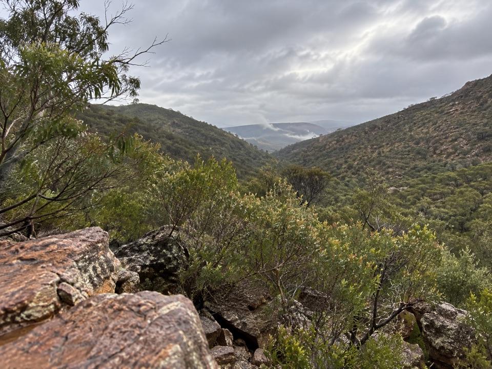
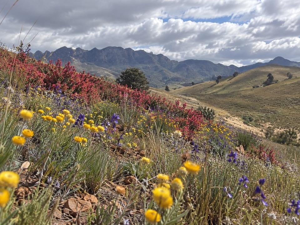
It’s a sustained uphill walk over steep ground, with steps, rough rock and a short scramble near the top. The route is classed as hard, and the rocky footing asks for care even though markers help with wayfinding. At the summit, the path reaches a long, broad ridge with room to stop. You can look back across Wilpena Pound, pick out St Mary Peak, and take in the wider Flinders ranges. This is a good half-day choice for walkers who want a proper climb; it’s not the place for an easy viewpoint. For photos, walk along the ridge and take in both the Pound and the surrounding country rather than treating the summit as one single lookout.
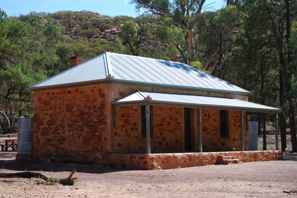
Start from WilpenaThe walk begins by the Wilpena Visitor Centre and resort complex.
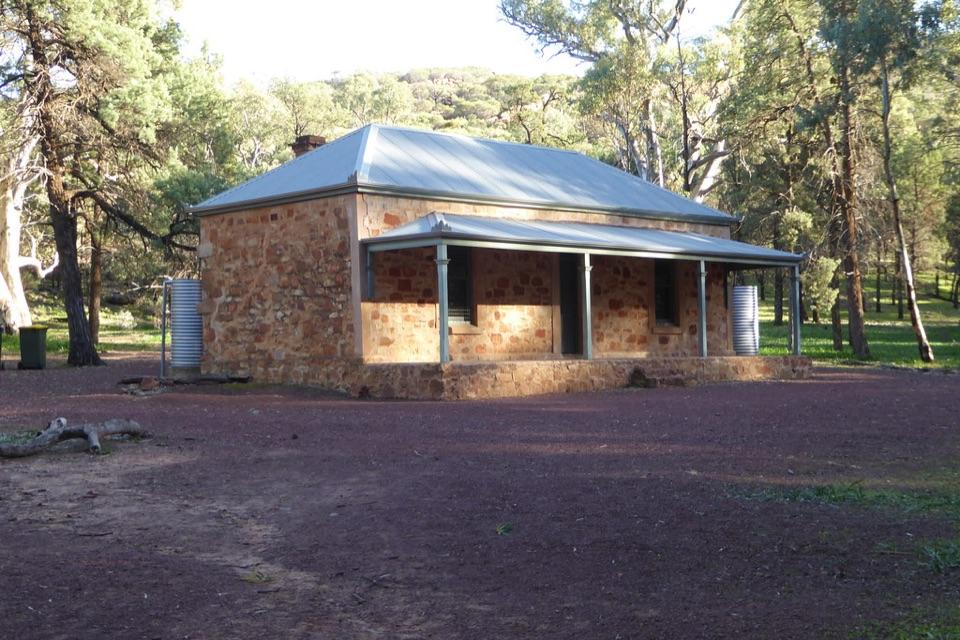
The walk begins by the Wilpena Visitor Centre and resort complex. The nearby facilities include toilets and a general store, with the resort’s restaurant and bar back at the trailhead area; none of those services are up on the mountain. The hike is closed during December, January and February. Check the park’s current summer closure map before planning a visit near either end of the season.
Wildlife
Wildlife in Ikara-Flinders Ranges
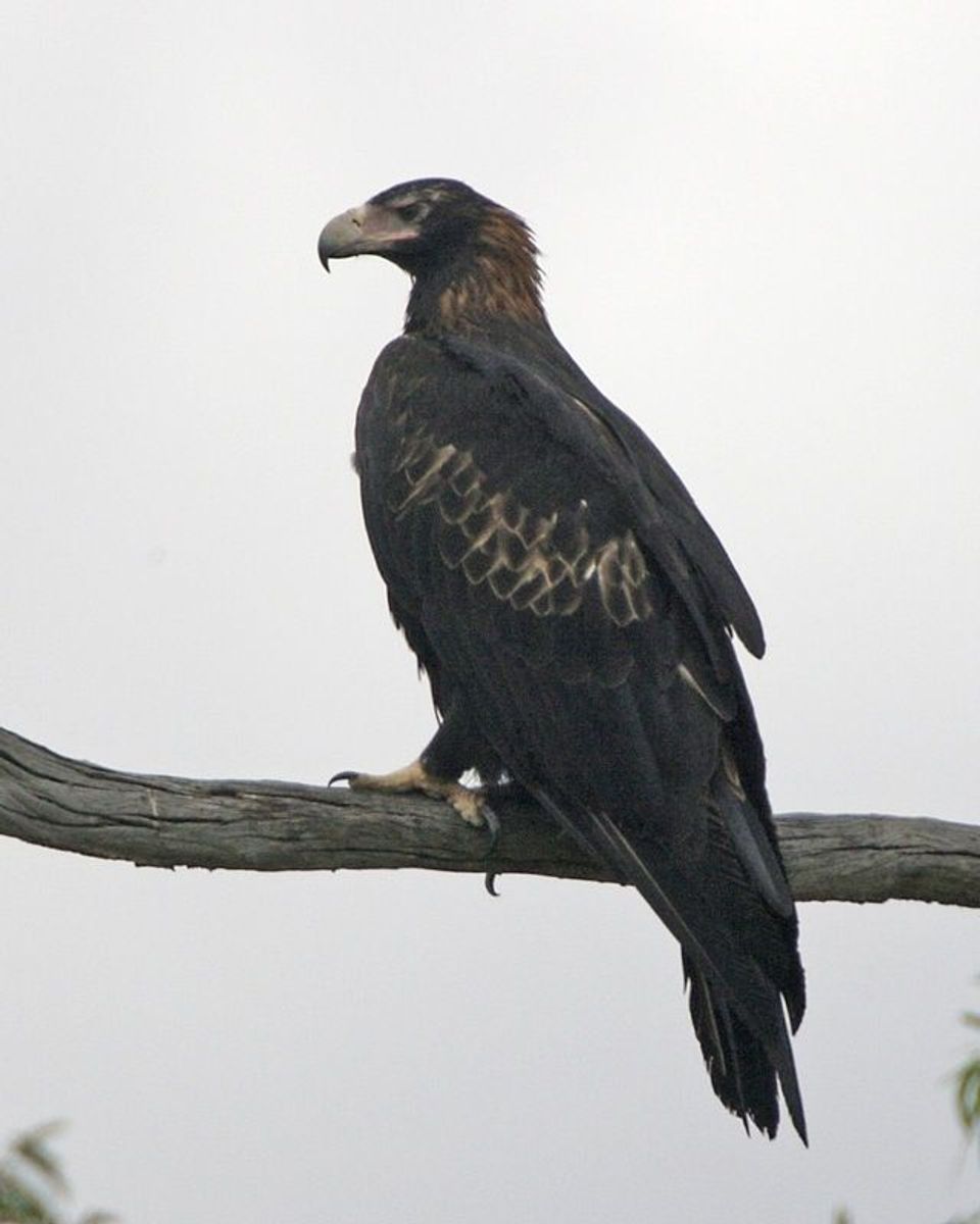 75 sightingsWedge-tailed EagleMost seen around 10 AMSighting map
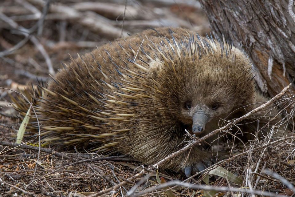 107 sightingsShort-beaked EchidnaMost seen around 6 PMSighting map
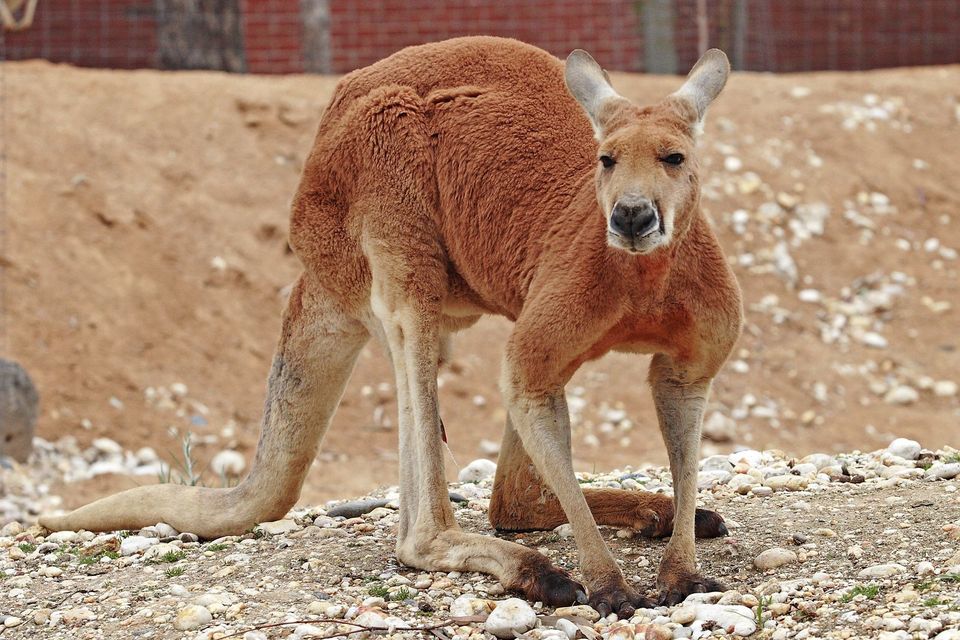 69 sightingsRed KangarooMost seen around 5 PMSighting map
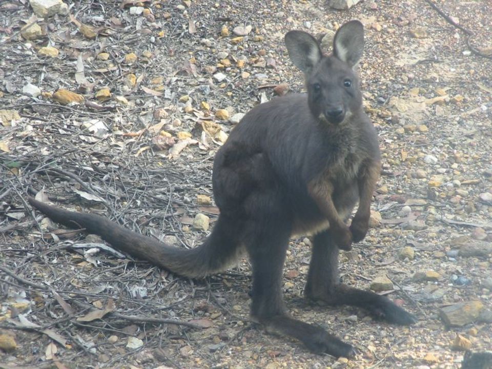 223 sightingsCommon WallarooMost seen around 6 PMSighting map
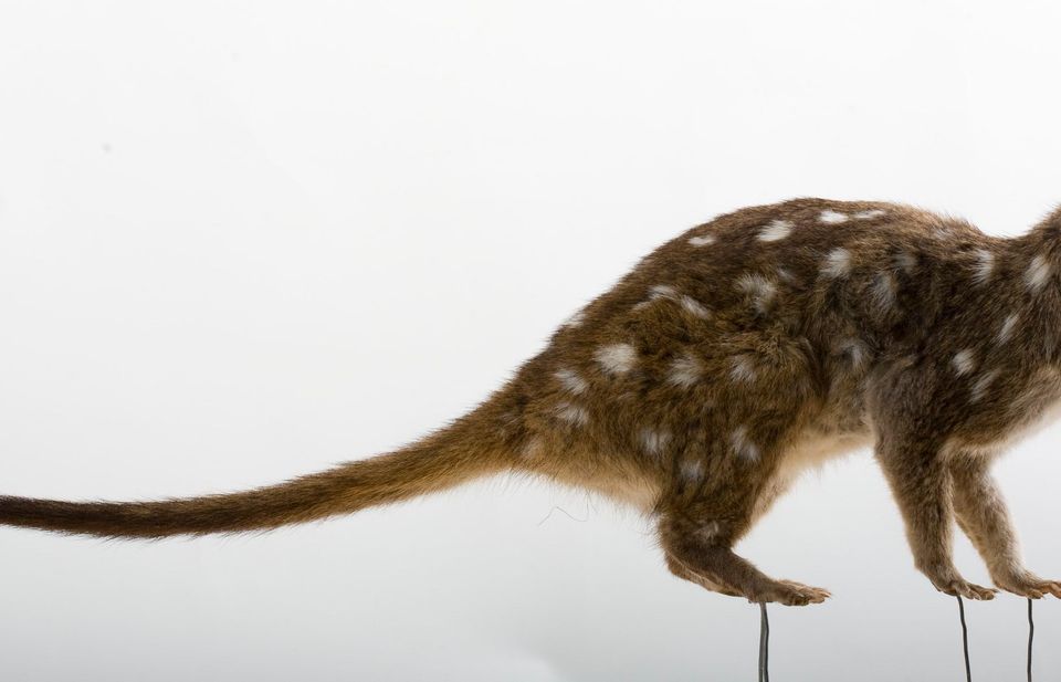 56 sightingsWestern QuollMost seen around 6 PMSighting map
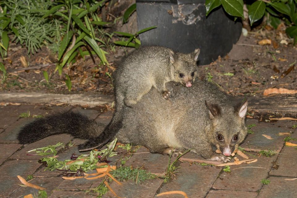 48 sightingsCommon Brushtail PossumMost seen around 6 PMSighting map
Sighting maps show where each species has been reported across Ikara-Flinders Ranges. Wildlife moves, so no sighting is guaranteed.