Parking
Access Trezona Campground from Brachina Gorge Road, about 40 km north of Wilpena. Use campground parking; T1 is at the eastern end, about 700 m from the road. Park roads are unsealed and require high clearance.
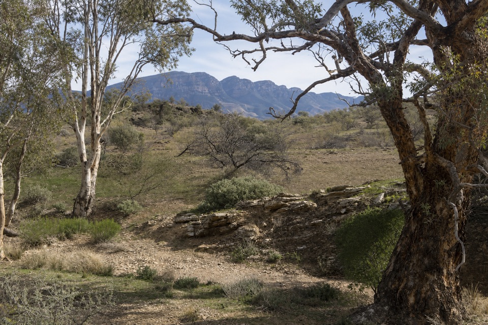
#10 of 21 trails in Ikara-Flinders Ranges
Ikara-Flinders Ranges National Park, SA
Stromatolites, a Golden Spike and a wide view across the ranges
Overview
Map & elevation
Plan your hike

The highest, rockiest slopes around here are a summer buffet for grizzly bears.
Ikara-Flinders Ranges Tour Guide
Parkwolf is a GPS audio tour guide for Ikara-Flinders Ranges National Park. As you drive, it chimes in with what’s ahead: hidden gems, upcoming stops, history, geology, and wildlife, right through your car’s speakers.
Recorded for this trailhead
Trezona and the Ediacaran Golden Spike“You're approaching Trezona, where a short walk leads to the Ediacaran Golden Spike. Despite the name, it's a small round plaque set into the rock at Enorama Creek.”
Plays as you drive up to this trailhead in the Parkwolf Ikara-Flinders Ranges Tour Guide.
More stories near here in the app
“Fantastic app with many points of information… It’s great to just turn on while you’re driving and it gives you an audio tour of the national Park. We love it!!!!”


Trail guide
Trezona Hike is a 5.1-mile (8.2 km) moderate loop from T1 at Trezona Campground, usually about four hours. It follows Enorama Creek, crosses open grassland and circles the lower Trezona Range before returning to the campground. The appeal is the geology: the Golden Spike, exposed stromatolites, a broad view across the ranges and the rock layers that tell a much older story than the pastoral landscape.
From the campground’s eastern end, follow the marked trail beside Enorama Creek, cross the road and head over a wide, low plain. There is little shade here; bare patches still show the effects of grazing. Early on, a marker drops into the creek to the Golden Spike. At T2, turn south toward Youngoona Hut. The route crosses Enorama Creek again and follows a stony streambed, where stromatolites appear in the rock beside the water. Reeds at Enorama Waterhole mark habitat for reed-warblers before T3 at the hut site.
South of T3, cross a smaller creek and skirt the foot of Trezona Range, where dark blocks from the slopes have weathered to pink limestone. T4 meets Brachina Gorge Road and Yanyanna Track, then opens to the hike’s broadest outlook across the Heysen Range. St Mary Peak, the Sawtooth Range and Mt Abrupt stand across the horizon. Pause here and keep some of the open plain in the frame; it gives the ridges scale. Continue via Middlesight Water Hut at T5 and the T6 turn-off. The final leg crosses the younger lake plain to T1.
Allow about four hours for the undulating circuit, with uneven footing in the creek beds and long open stretches that can become very hot. April to October is generally milder; summer temperatures in the park can reach 30–45°C. Trezona Campground has a long-drop toilet, picnic area and barbecue, but no food outlet. There is no dependable drinking water on the loop, and the campground tank’s supply and quality are not guaranteed. Dogs are not permitted in the park.
Wildlife
 68 sightingsWedge-tailed EagleMost seen around 10 AMSighting map
 104 sightingsShort-beaked EchidnaMost seen around 6 PMSighting map
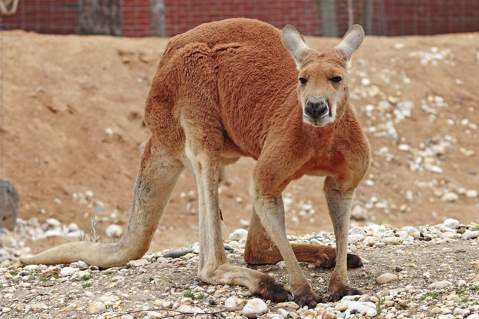 64 sightingsRed KangarooMost seen around 5 PMSighting map
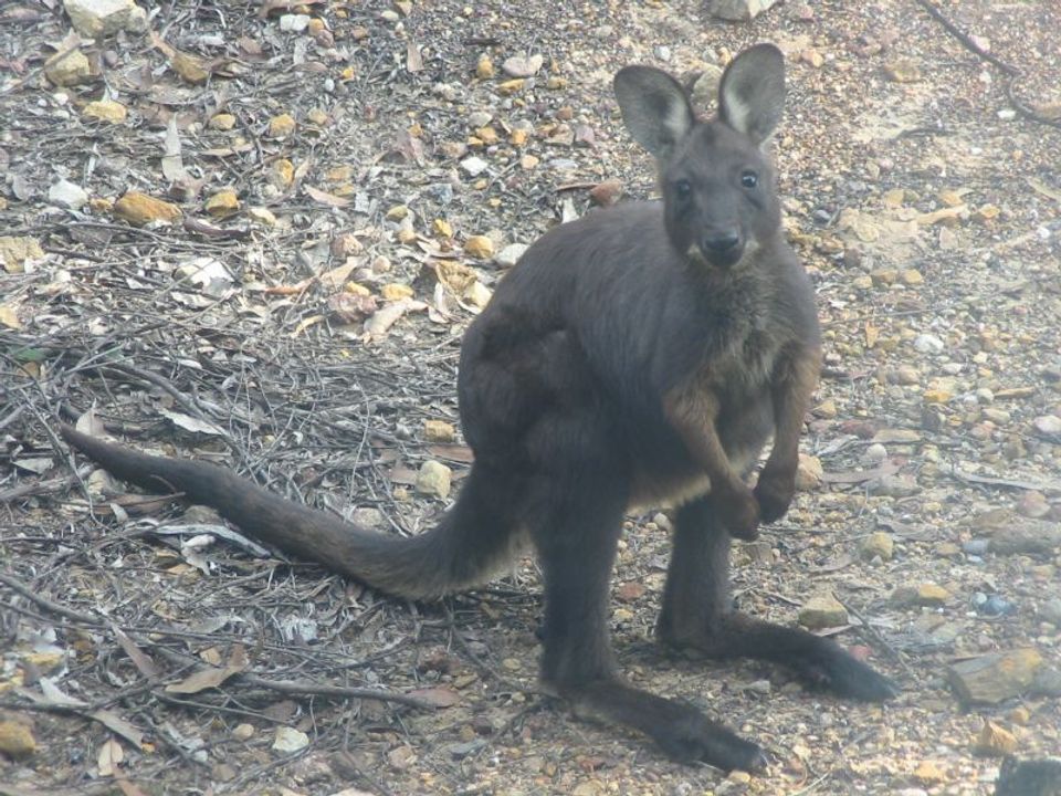 219 sightingsCommon WallarooMost seen around 6 PMSighting map
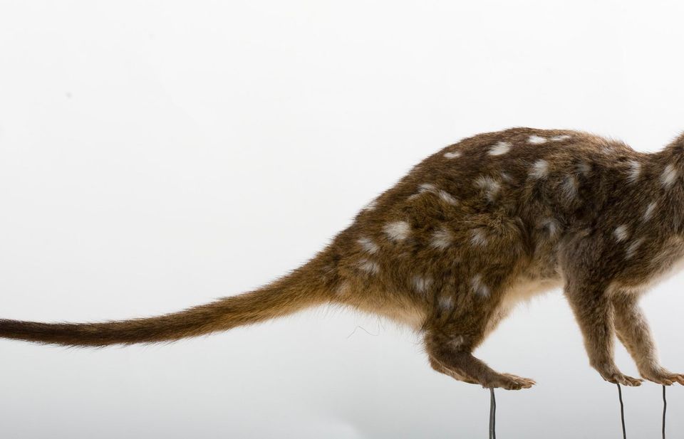 55 sightingsWestern QuollMost seen around 6 PMSighting map
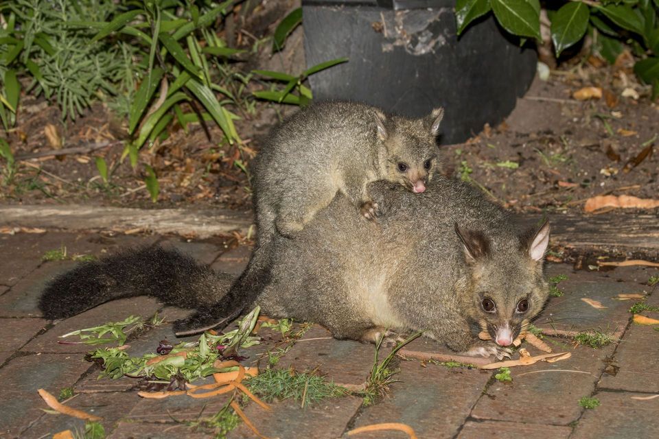 47 sightingsCommon Brushtail PossumMost seen around 6 PMSighting map
Sighting maps show where each species has been reported across Ikara-Flinders Ranges. Wildlife moves, so no sighting is guaranteed.
Keep exploring
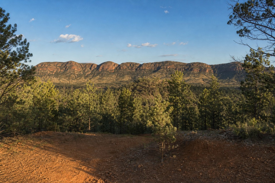 ModerateHeysen Trail Section 60: Trezona to Aroona Hut14.5 km · 3.8 hr · At the trailheadA 14.45 km Heysen section climbs from Trezona to Aroona Hut.
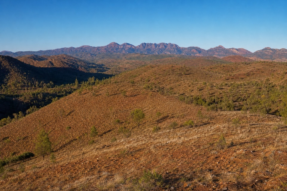 ChallengingRed Hill Lookout Hike9 km · 4 hr · 7.5 km awayA steep four-hour climb to Aroona Valley and Wilpena views.
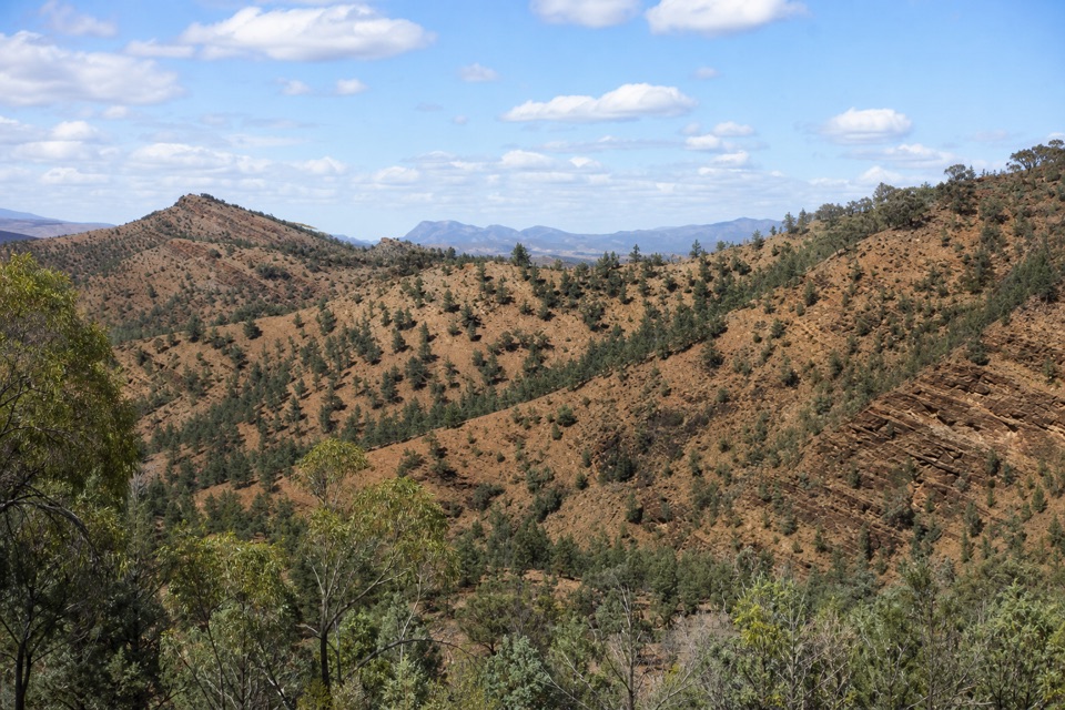 ModerateYuluna Hike8 km · 4 hr · 7.6 km awayCreek geology and old huts on a loop through the ABC Range.
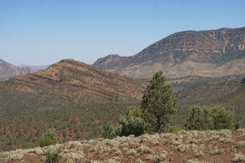 ChallengingAroona to Youngoona Hike15.4 km · 7 hr · 7.6 km awayCreek folds, hut ruins and a long traverse through three ranges.
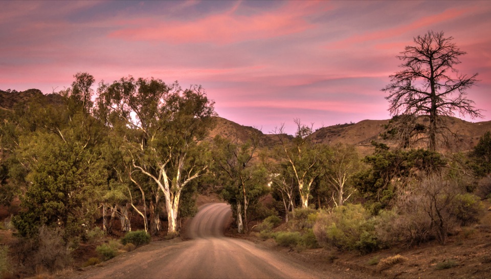 ModerateHeysen Trail Section 61: Aroona Hut to Parachilna Gorge Trailhead18 km · 6 hr · 7.6 km awayAn 18 km finish past abandoned mines to the Parachilna Gorge trailhead.
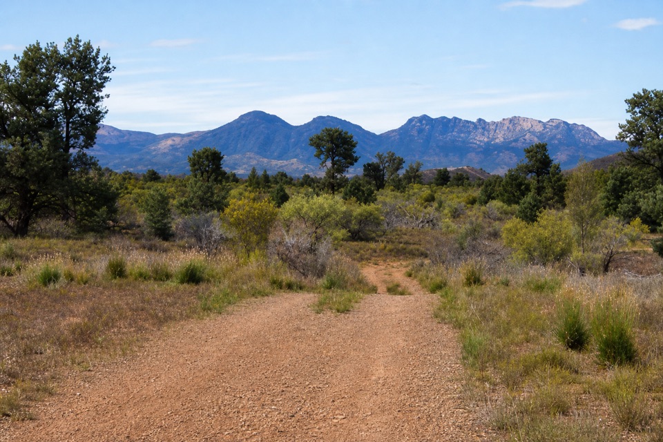 ModerateHeysen Trail Section 59: Bunyeroo to Trezona15 km · 4.5 hr · 11.2 km awayA long walk through old hut country and wide Flinders Ranges views.
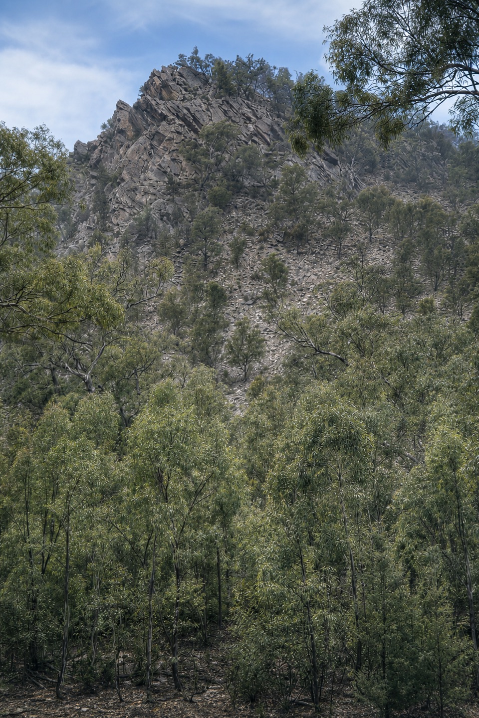 ModerateBunyeroo Gorge Hike7.5 km · 3.5 hr · 11.6 km awayA rocky creek-bed wander beneath gum-lined gorge walls.
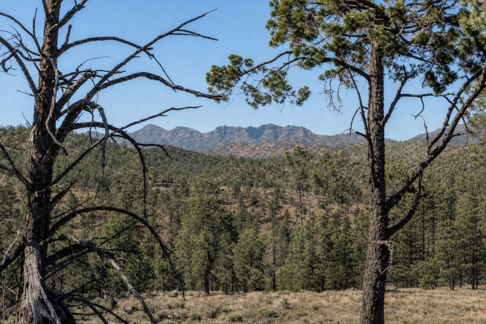 ModerateBunyeroo and Wilcolo Creeks Hike9.2 km · 5 hr · 11.6 km awayCreek crossings, a quartzite gorge, and a framed hilltop view.
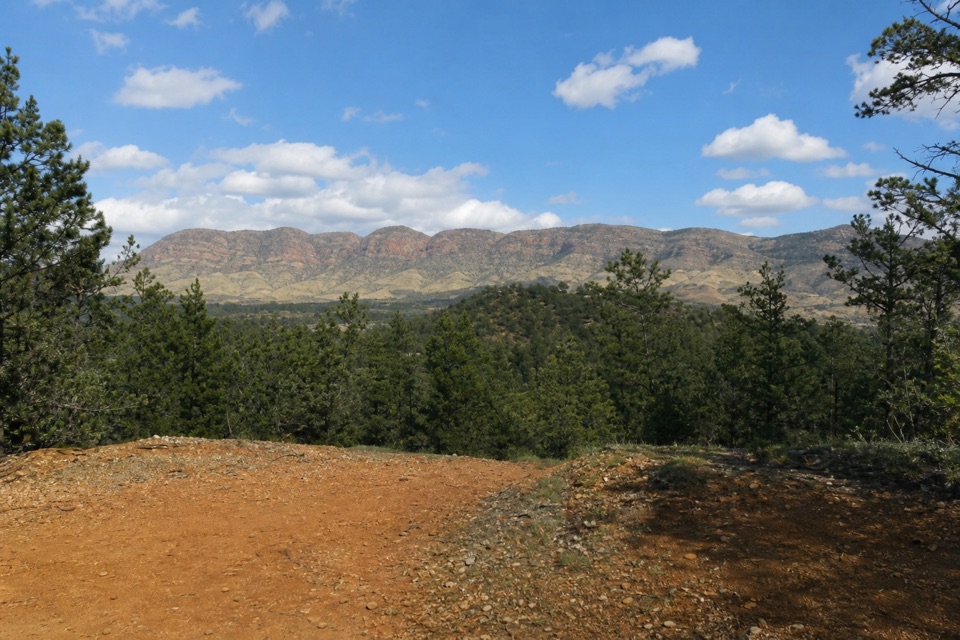 Campground · 0.2 km awayTrezona CampgroundStay close to the Golden Spike and Trezona Circuit.
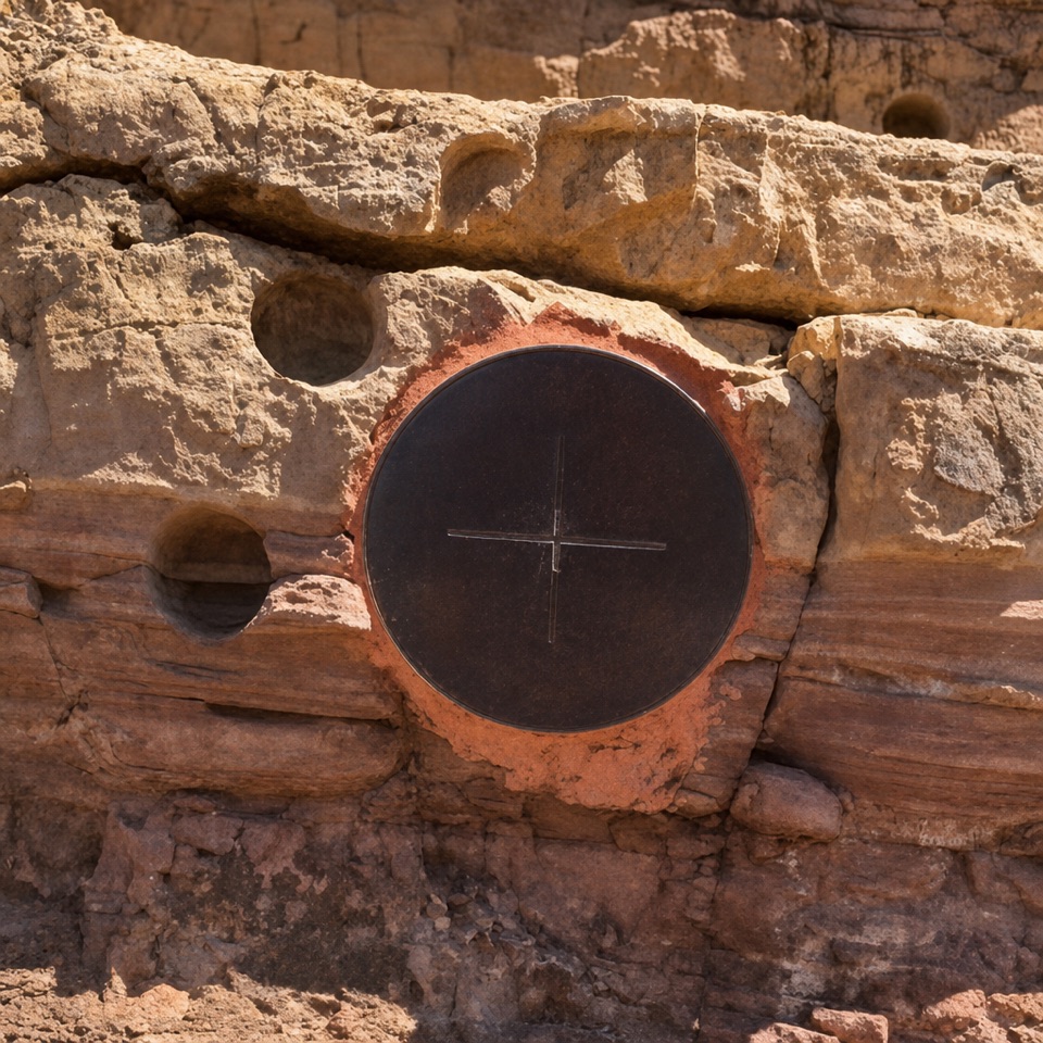 Sight · 0.5 km awayEdiacaran Golden SpikeA small plaque marks where the Ediacaran begins in rock.
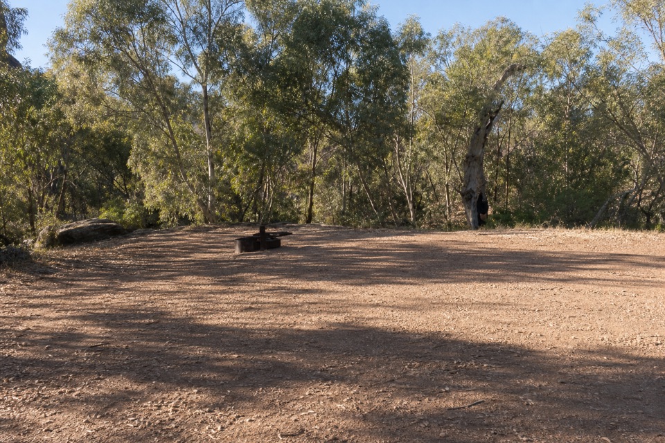 Campground · 2.7 km awayYoungoona CampgroundFour unpowered sites where two creeks meet.
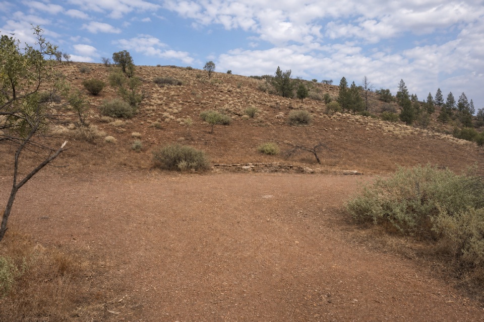 Campground · 4.6 km awayBrachina East CampgroundTwo creek-bank areas, with high-clearance 2WD and rugged 4WD access.
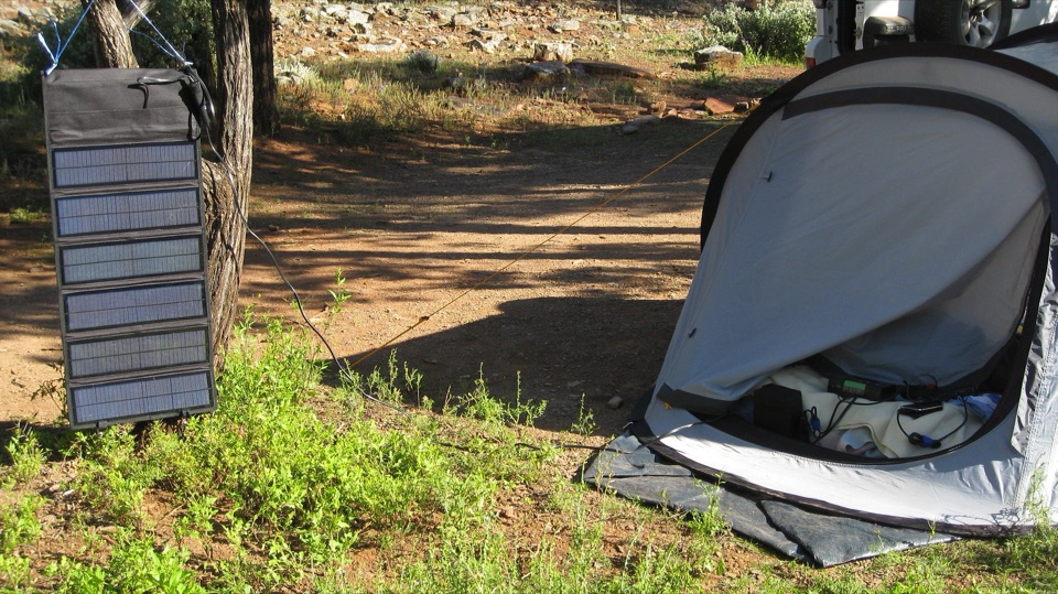 Campground · 5.2 km awayCambrian CampgroundUnpowered camping among red gums and native pines along a creek line.
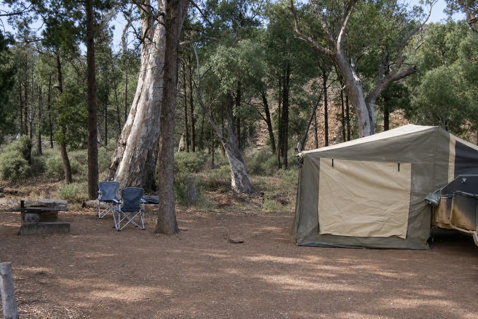 Campground · 5.9 km awayKoolamon CampgroundSleep beside Aroona Creek beneath the ABC Range.
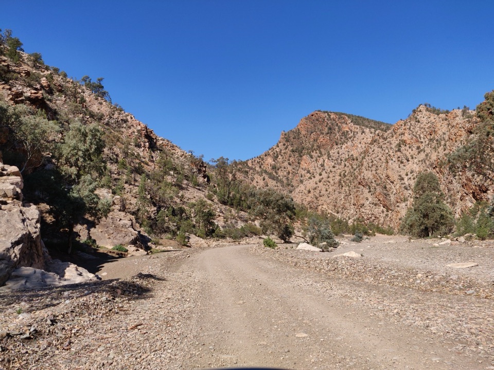 Sight · 6.8 km awayBrachina GorgeA 20 km drive through ancient rock and the Ediacaran story.
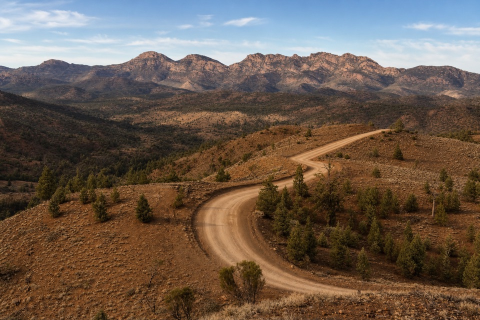 Sight · 6.9 km awayRed Hill LookoutEarn a south-facing sweep from Aroona Valley to Wilpena.
Parkwolf’s Ikara-Flinders Ranges ranking
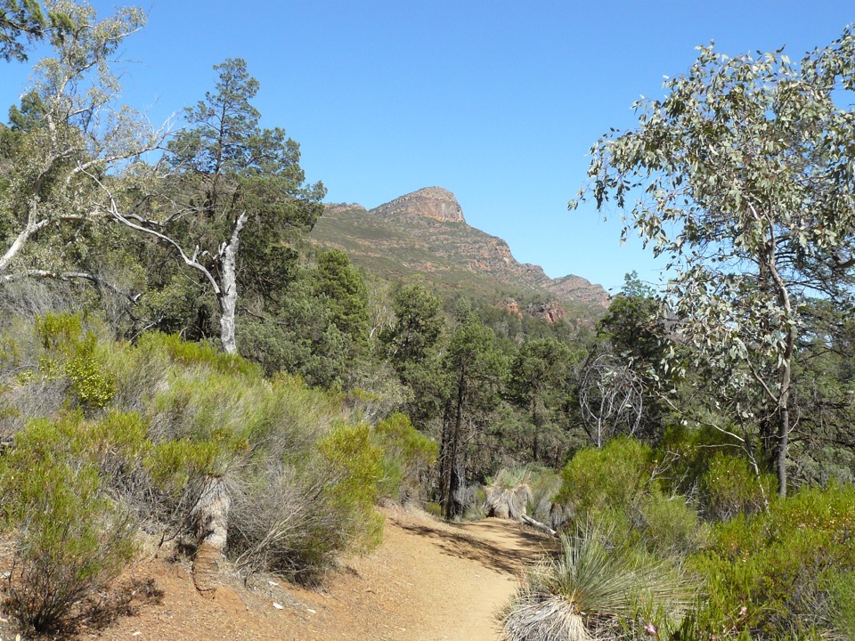 St Mary Peak Hike – Ngarri Mudlanha (Outside Trail to Tanderra Saddle)Challenging · 11.7 km
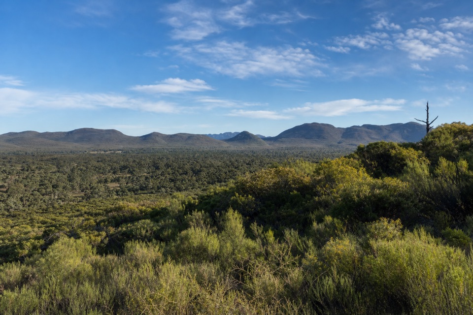 Wangara Lookout HikeModerate · 7.8 kmSt Mary Peak Loop – Ngarri MudlanhaChallenging · 21.5 km
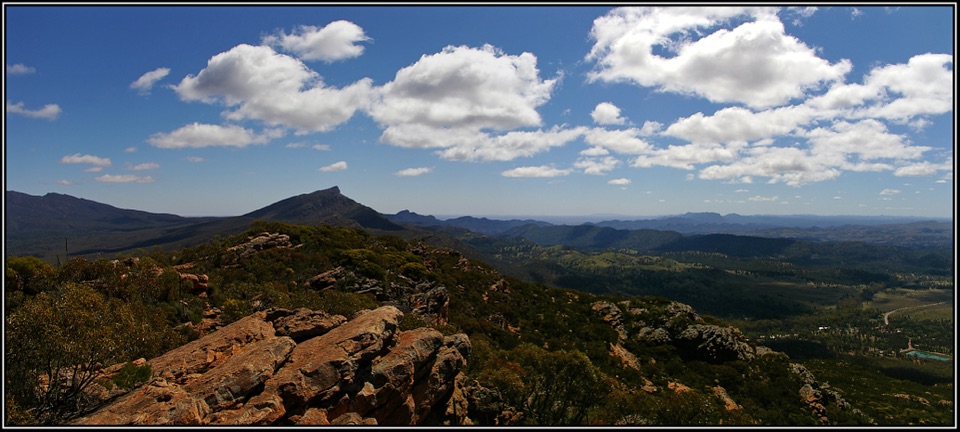 Mount Ohlssen Bagge HikeChallenging · 7.2 kmBunyeroo Gorge HikeModerate · 7.5 km
 Hills Homestead WalkEasy · 6.6 km
The audio tour guide for the drive, plus offline maps, trails, and wildlife heatmaps for when the signal drops.