Parking
No road access or parking at either end; reach the southern junction on foot from Greenstone Ridge and finish at Minong Ridge.
Isle Royale National Park, MI
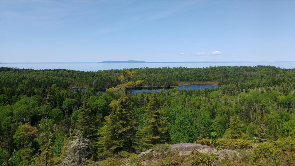
Drop to Hatchet Lake, then climb back onto Minong Ridge.
Overview
Map & elevation
Plan your hike

The highest, rockiest slopes around here are a summer buffet for grizzly bears.
Isle Royale Tour Guide
Parkwolf is a GPS audio tour guide for Isle Royale National Park. As you drive, it chimes in with what’s ahead: hidden gems, upcoming stops, history, geology, and wildlife, right through your car’s speakers.
“Fantastic app with many points of information… It’s great to just turn on while you’re driving and it gives you an audio tour of the national Park. We love it!!!!”


Trail guide
Hatchet Lake Trail is a 2.6-mile, one-way connector between the Greenstone Ridge and Minong Ridge trails. It drops to Hatchet Lake, then climbs back to Minong; allow about two hours one way at a steady pace.
From the Greenstone Ridge junction, the path descends sharply toward the lake, about 0.3 mile in. The connector continues east, then north across the middle stretch before its climb to Minong Ridge.
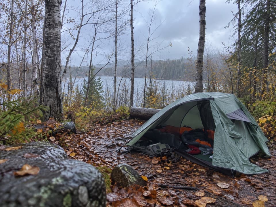
Hatchet Lake Campground is reached by a separate spur, roughly half a mile from the Greenstone junction; it isn't the end of the through-route. The campground has an outhouse and a water source, which should be treated. Overnight camping requires a permit.
Wildlife
 308 sightingsMooseMost seen around 8 PMSighting map
 93 sightingsWolfMost seen around 8 PMSighting map
 77 sightingsBald EagleMost seen around 5 PMSighting map
 150 sightingsLoonMost seen around 7 AMSighting map
 24 sightingsTrumpeter SwanMost seen around 6 PMSighting map
 71 sightingsBeaverMost seen around 8 PMSighting map
Sighting maps show where each species has been reported across Isle Royale. Wildlife moves, so no sighting is guaranteed.
Keep exploring
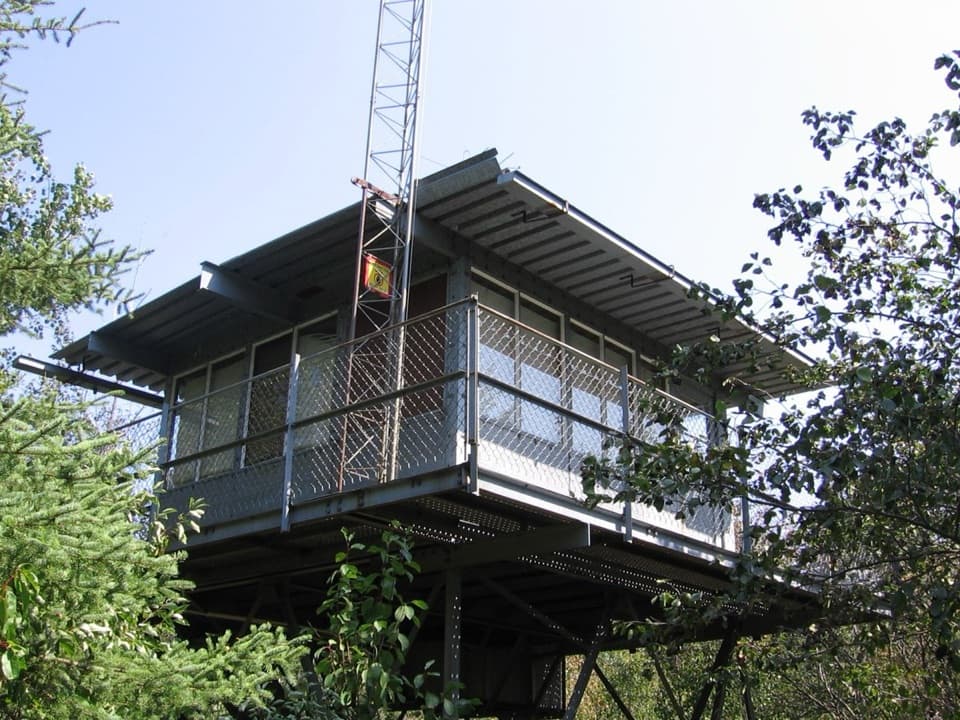 ChallengingIshpeming Trail7.3 mi · 6 hr · 3.7 mi awayA remote trail from Ishpeming Tower to Malone Bay.
 ModerateEast Chickenbone Trail1.6 mi · 1.3 hr · 7.5 mi awayA forested connector with glimpses of Chickenbone Lake.
 ModerateChickenbone Lake Loop6.4 mi · 3 hr · 7.9 mi awayA forested lake loop with a short, repeated McCargoe Cove approach.
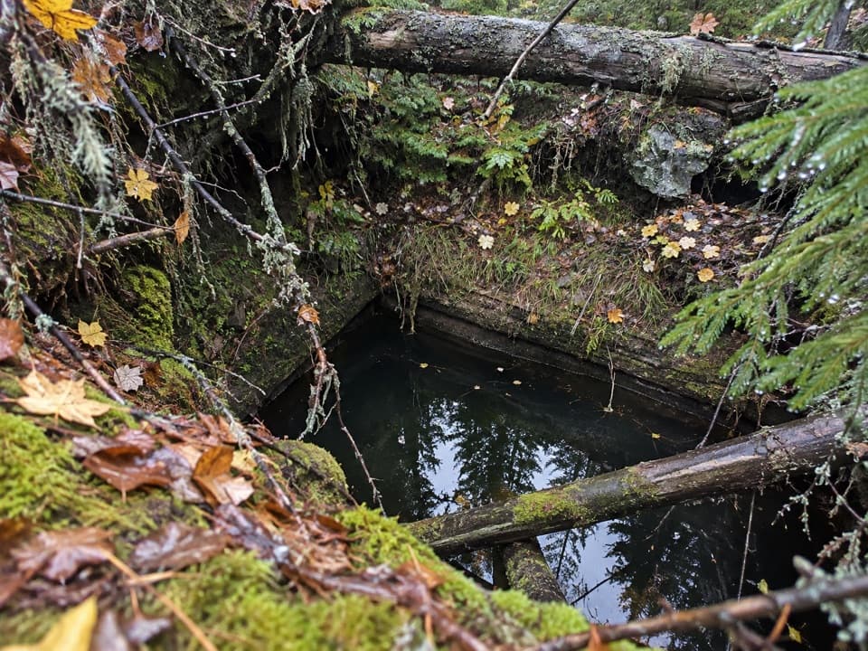 ModerateMinong Mine Trail2.2 mi · 2 hr · 7.9 mi awayA rugged detour into Isle Royale’s ancient copper workings
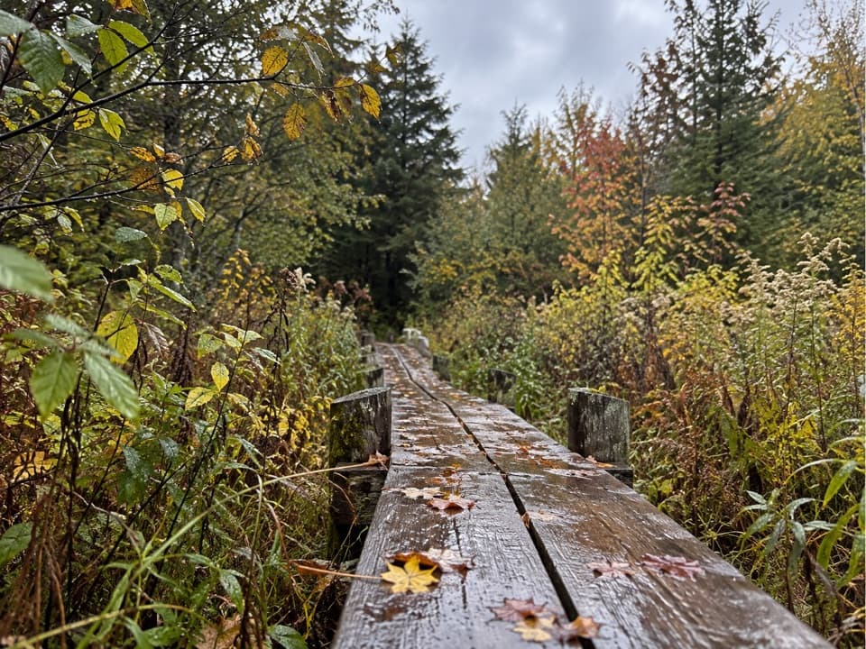 ModerateLake Richie Trail1.9 mi · 1.3 hr · 8 mi awayA narrow backcountry connector through wetlands and rocky outcrops.
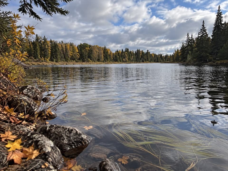 EasyLake Mason Access Trail0.6 mi · 24 min · 8.8 mi awayA short side trip to the bluff above Lake Mason.
 ModerateIndian Portage Trail10.6 mi · 8 hr · 9 mi awayA rugged 11-mile crossing through Isle Royale’s inland lakes.
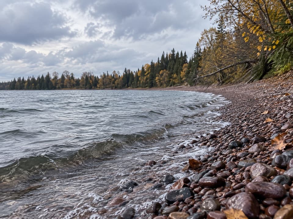 ModerateIsland Mine Trail4.9 mi · 3.5 hr · 11.3 mi awayA rocky one-way link from Siskiwit Bay to the Island Mine junction.
 Campground · 0.4 mi awayHatchet Lake CampgroundAn eight-site walk-in camp beside Hatchet Lake.
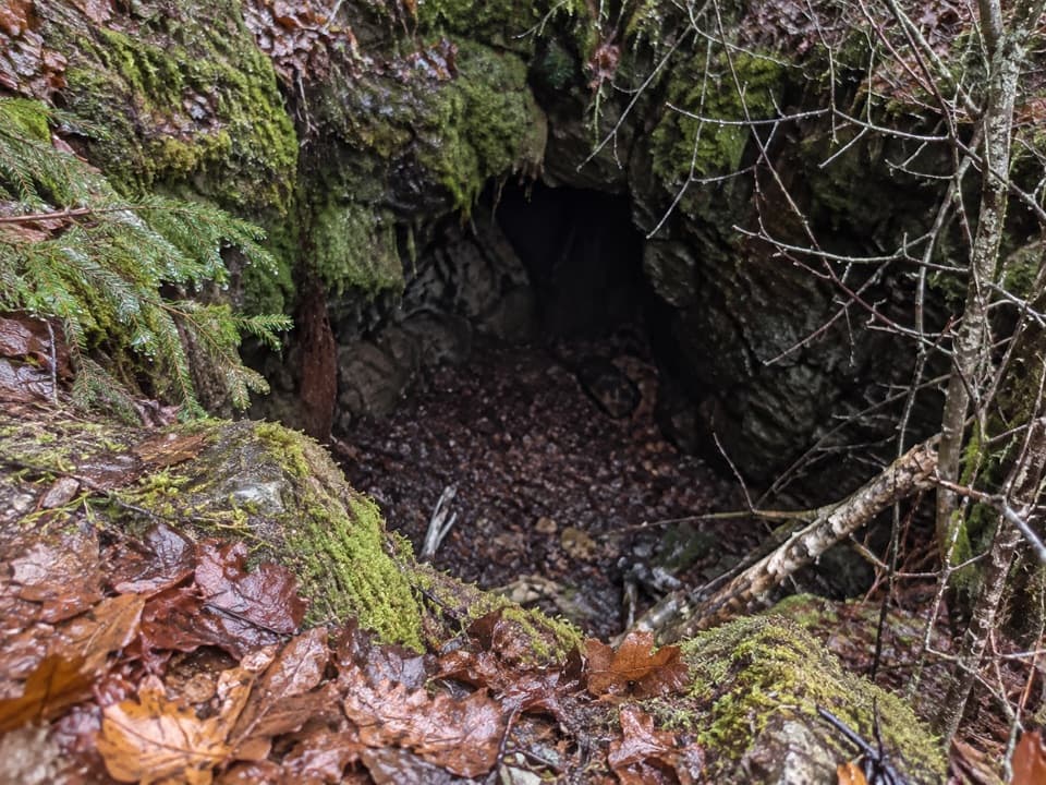 Sight · 2.4 mi awayHaytown MineA small pit marks an ambitious, short-lived copper operation.
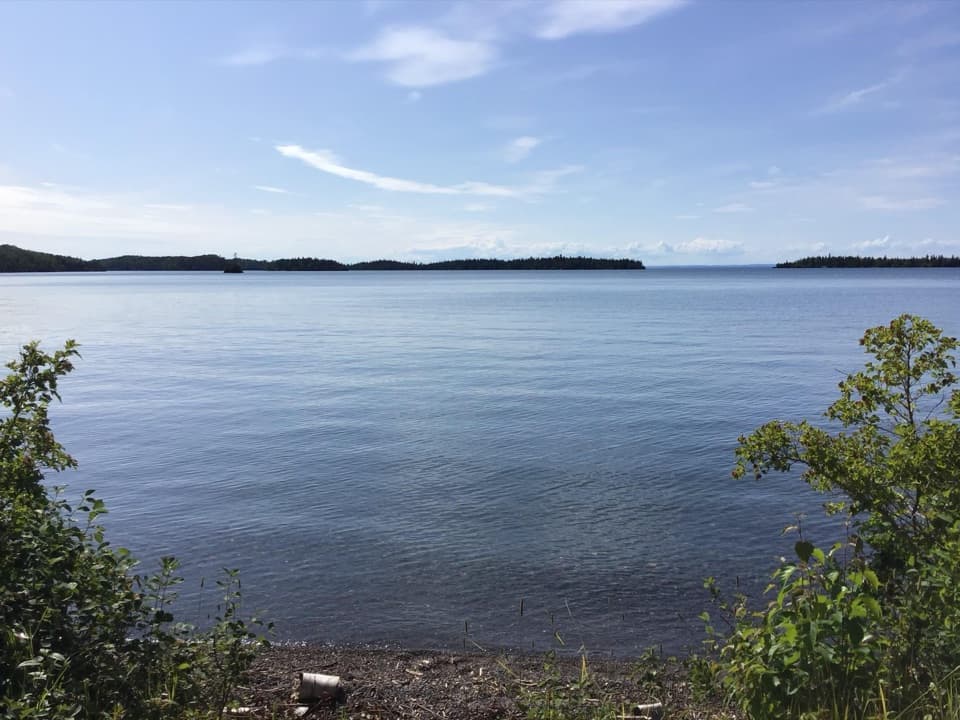 Campground · 2.5 mi awayTodd Harbor CampgroundA backcountry shoreline camp with a single shelter.
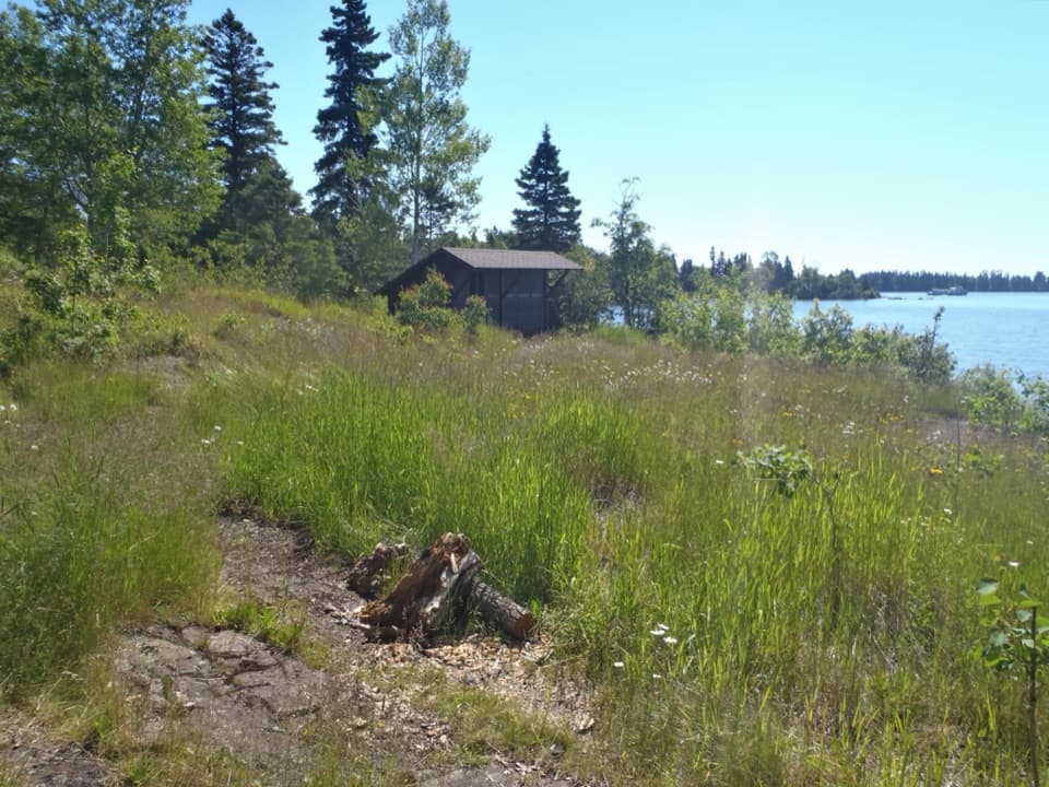 Campground · 2.8 mi awayMalone Bay CampgroundFive shelters on Isle Royale's rocky shore, reached by trail or boat.
 Sight · 3.7 mi awayIshpeming TowerA trail-junction break beside the island's first modern fire lookout.
 Campground · 3.8 mi awayLittle Todd CampgroundA backcountry Lake Superior camp for rugged Minong miles.
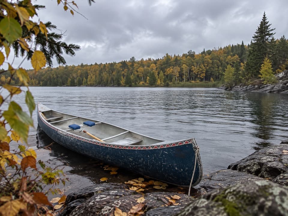 Campground · 4.8 mi awayWood Lake CampgroundThree boat-to tent sites on the inland canoe route.
 Campground · 5.7 mi awayIntermediate Lake CampgroundA tent-only overnight for paddlers crossing the island's inland lakes.
Parkwolf’s Isle Royale ranking

The audio tour guide for the drive, plus offline maps, trails, and wildlife heatmaps for when the signal drops.