Parking
There is no road parking at Ishpeming Tower. Reach the start on foot via Greenstone Ridge Trail. Malone Bay at the far end is reached on foot or by water; Voyageur II stops there only by advance reservation.
Isle Royale National Park, MI
A remote trail from Ishpeming Tower to Malone Bay.
Overview
Map & elevation
Plan your hike

The highest, rockiest slopes around here are a summer buffet for grizzly bears.
Isle Royale Tour Guide
Parkwolf is a GPS audio tour guide for Isle Royale National Park. As you drive, it chimes in with what’s ahead: hidden gems, upcoming stops, history, geology, and wildlife, right through your car’s speakers.
“Fantastic app with many points of information… It’s great to just turn on while you’re driving and it gives you an audio tour of the national Park. We love it!!!!”


Trail guide
Ishpeming Trail is a 7.3-mile, one-way point-to-point route from the Ishpeming Tower junction on Greenstone Ridge down to Malone Bay Campground on Lake Superior. It crosses several ridges, a wetland boardwalk beside Siskiwit Lake, and finishes at Malone Bay on the Lake Superior shore. Allow about six hours. This is a remote link for hikers already planning a longer Isle Royale trip, not a quick loop.
Ishpeming Tower is an interior junction reached on foot along Greenstone Ridge. Malone Bay has no road access either; you can continue on foot or arrange water transport. The Voyageur II stops at Malone Bay only when passengers reserve the stop in advance, so settle your onward or return plan before you set out. The separate Greenstone section between Hatchet Lake and Ishpeming Tower is not included in these miles.
The trail crosses three ridges and is less traveled and minimally maintained. Expect a rougher, slower walk than the mileage alone suggests; bring a map and compass and be ready to navigate overgrown stretches. Around Siskiwit Lake, a boardwalk crosses wetland before the route drops toward the bay. Starting from the tower, filterable water is not available until about 3.5 miles into the hike, at Siskiwit Lake. Carry enough water to reach it and treat the lake water.
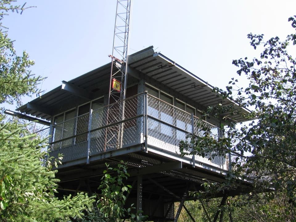
Ishpeming Tower is a retired fire tower at the starting junction. Visitors cannot climb it; its wooded setting gives limited views rather than a summit panorama. At the far end, Malone Bay Campground has shelters and a dock, with seasonal composting toilets and non-potable water. From the shore, look for the pebble beaches, offshore reefs, and Isle Royale Lighthouse on Menagerie Island. Pets are not allowed on Isle Royale.
Wildlife
 308 sightingsMooseMost seen around 8 PMSighting map
 93 sightingsWolfMost seen around 8 PMSighting map
 77 sightingsBald EagleMost seen around 5 PMSighting map
 150 sightingsLoonMost seen around 7 AMSighting map
 24 sightingsTrumpeter SwanMost seen around 6 PMSighting map
 71 sightingsBeaverMost seen around 8 PMSighting map
Sighting maps show where each species has been reported across Isle Royale. Wildlife moves, so no sighting is guaranteed.
Keep exploring
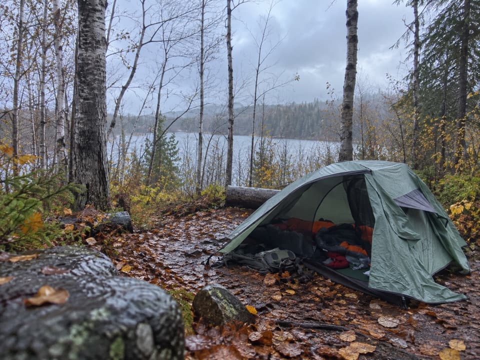 ModerateHatchet Lake Trail2.6 mi · 2 hr · 3.7 mi awayDrop to Hatchet Lake, then climb back onto Minong Ridge.
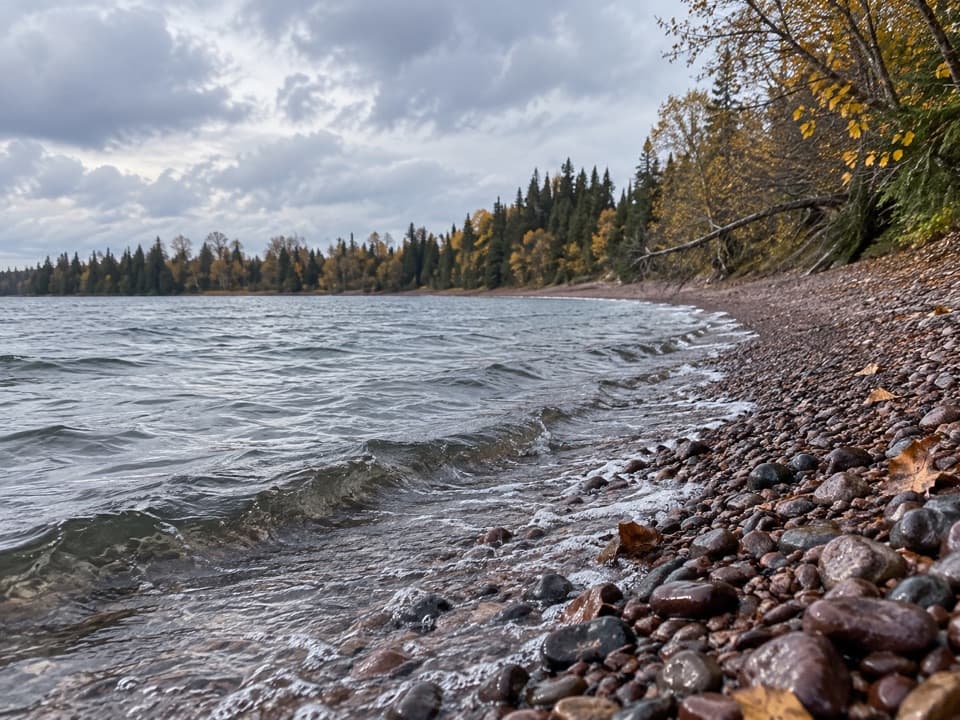 ModerateIsland Mine Trail4.9 mi · 3.5 hr · 8.1 mi awayA rocky one-way link from Siskiwit Bay to the Island Mine junction.
 ModerateEast Chickenbone Trail1.6 mi · 1.3 hr · 11.1 mi awayA forested connector with glimpses of Chickenbone Lake.
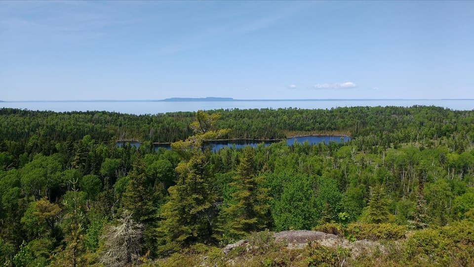 ChallengingMinong Ridge Trail28 mi · 1.3 days · 11.5 mi awayA tough, remote ridge traverse with views over Superior and Canada.
 ModerateEast Huginnin Cove Trail3.3 mi · 2.5 hr · 11.5 mi awayMine ruins, rocky bluffs, and a cove at Lake Superior’s edge.
 ModerateChickenbone Lake Loop6.4 mi · 3 hr · 11.5 mi awayA forested lake loop with a short, repeated McCargoe Cove approach.
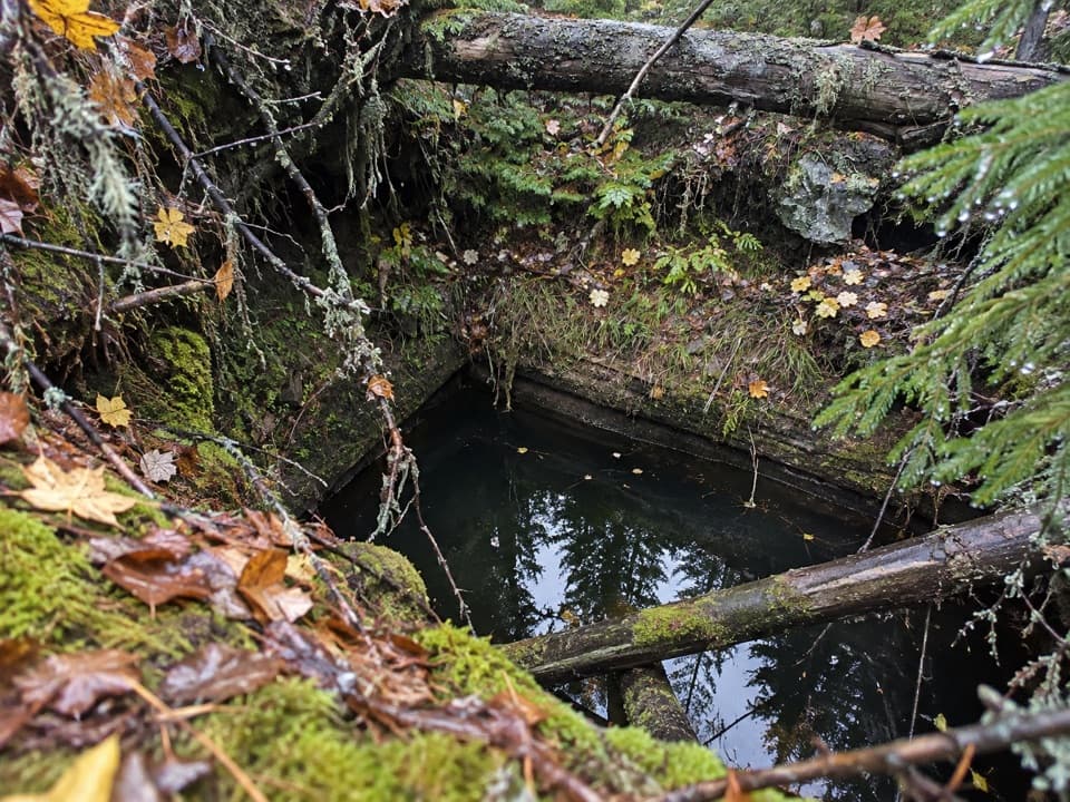 ModerateMinong Mine Trail2.2 mi · 2 hr · 11.5 mi awayA rugged detour into Isle Royale’s ancient copper workings
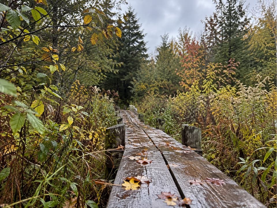 ModerateLake Richie Trail1.9 mi · 1.3 hr · 11.6 mi awayA narrow backcountry connector through wetlands and rocky outcrops.
 Sight · At the trailheadIshpeming TowerA trail-junction break beside the island's first modern fire lookout.
 Campground · 1.9 mi awayLittle Todd CampgroundA backcountry Lake Superior camp for rugged Minong miles.
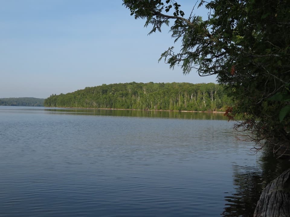 Campground · 3.1 mi awaySouth Lake Desor CampgroundBackcountry nights, loon calls, and sunset on Lake Desor.
 Campground · 3.5 mi awayHatchet Lake CampgroundAn eight-site walk-in camp beside Hatchet Lake.
 Campground · 3.7 mi awayNorth Desor CampgroundThree hike-in sites on Lake Desor’s rocky north shore.
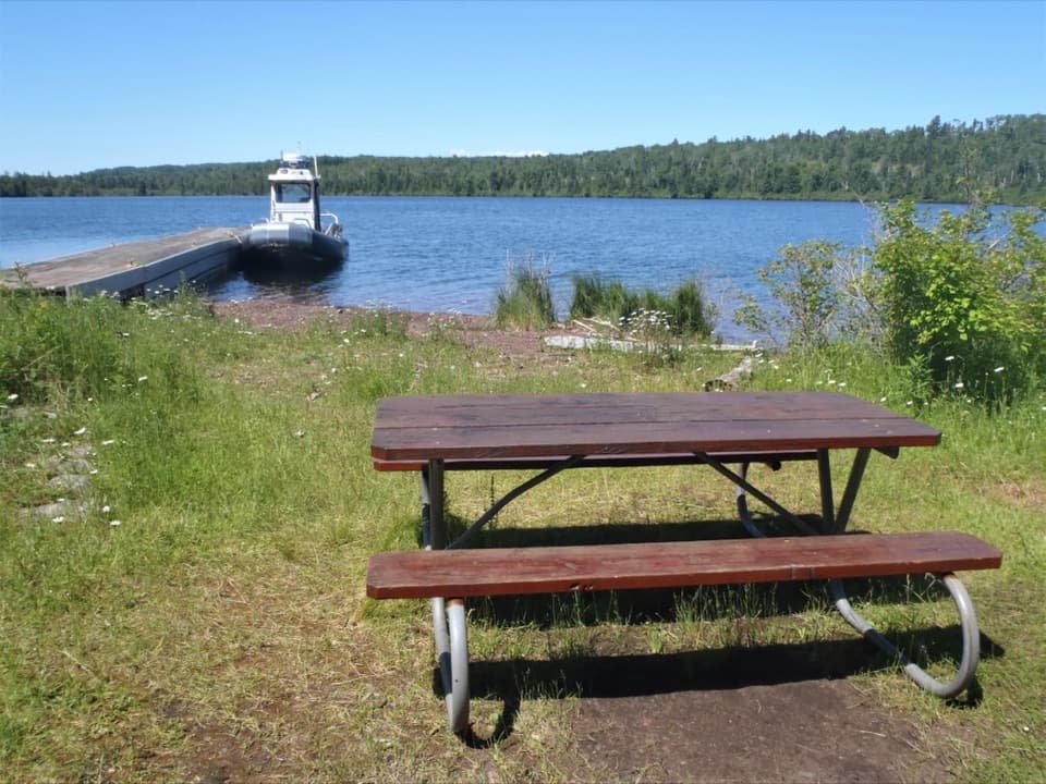 Campground · 4.3 mi awayHay Bay CampgroundA one-site boat-in camp with an overnight dock.
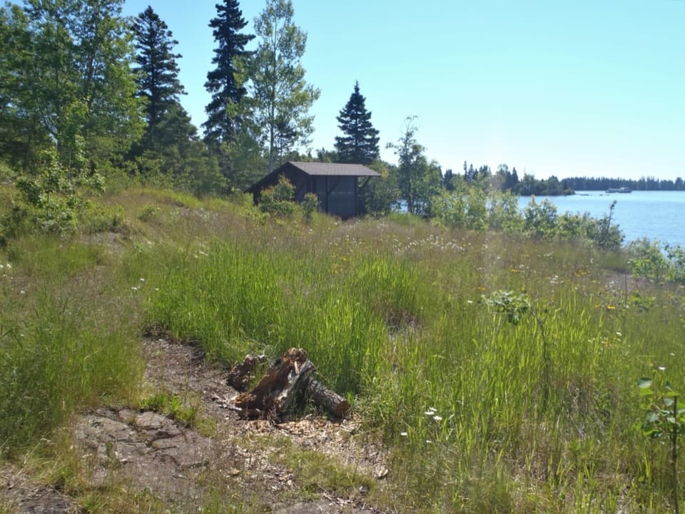 Campground · 5.1 mi awayMalone Bay CampgroundFive shelters on Isle Royale's rocky shore, reached by trail or boat.
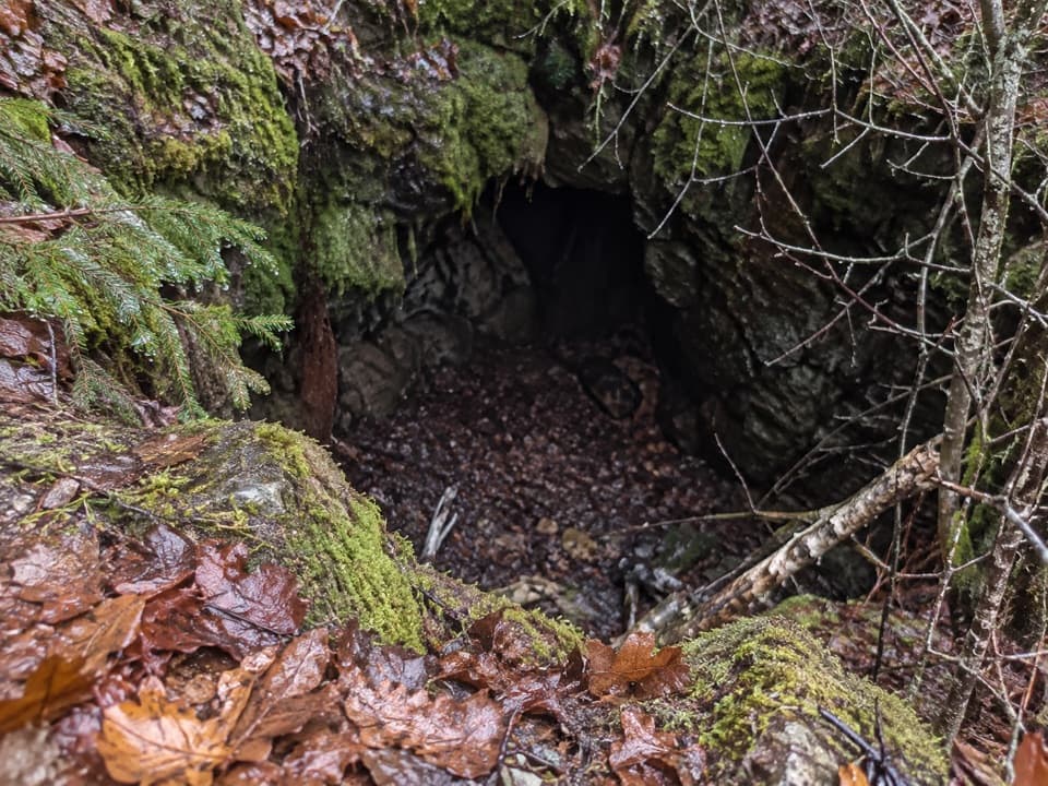 Sight · 5.7 mi awayHaytown MineA small pit marks an ambitious, short-lived copper operation.
Parkwolf’s Isle Royale ranking

The audio tour guide for the drive, plus offline maps, trails, and wildlife heatmaps for when the signal drops.


