Pros & cons
PROS
- Efficient gateway from Moskey Basin into interior lake country with quick access to Lake Richie Campground
- Longest portage on the island when used between Moskey Basin and Lake Richie—great for paddlers linking lake systems
CONS
- Early-summer bugs can be fierce, making the short miles feel long
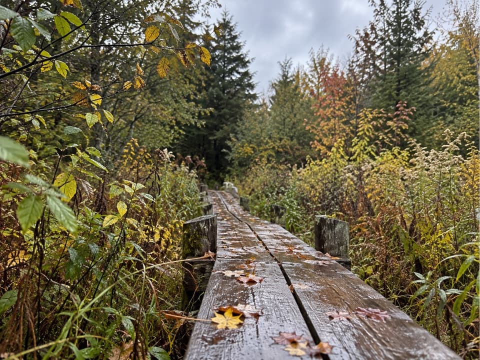
- Wet, muddy spots and slick boardwalks add challenge—especially with a canoe
No road access or parking. Reach the junction 0.2 miles from Moskey Basin dock on the Rock Harbor Trail; then follow Lake Richie Trail inland.
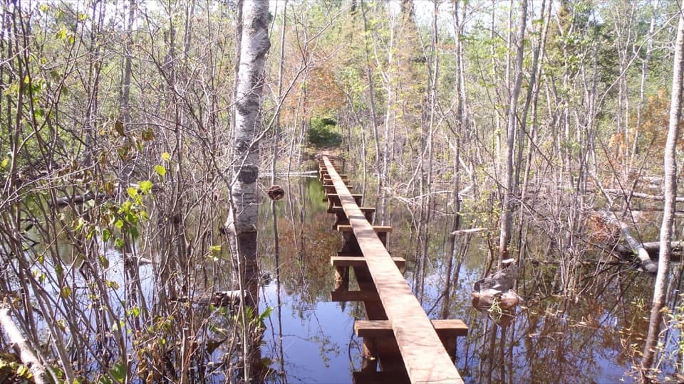
Intense mosquitoes/black flies in early summer; slippery boardwalks when wet; occasional muddy sections; treat all water and check with rangers for any algal advisories; carrying a canoe adds difficulty on rooted, rocky tread.
Overview
Lake Richie Trail is a 1.9-mile point-to-point connector threading from a junction on the Rock Harbor Trail (about 0.2 miles from the Moskey Basin dock) to the Indian Portage Trail near Lake Richie. Think of it as a quick, easy gateway from the Rock Harbor side into Isle Royale’s interior lake country. Many hikers tack it onto bigger itineraries, and paddlers use it as a portage—traveling from Moskey Basin to Lake Richie can make this the island’s longest portage at roughly 2.2 miles one way. If you’re overnighting, Lake Richie Campground sits just beyond the west end via the Indian Portage connection.
What You’ll See
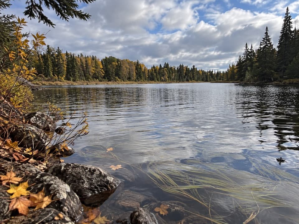
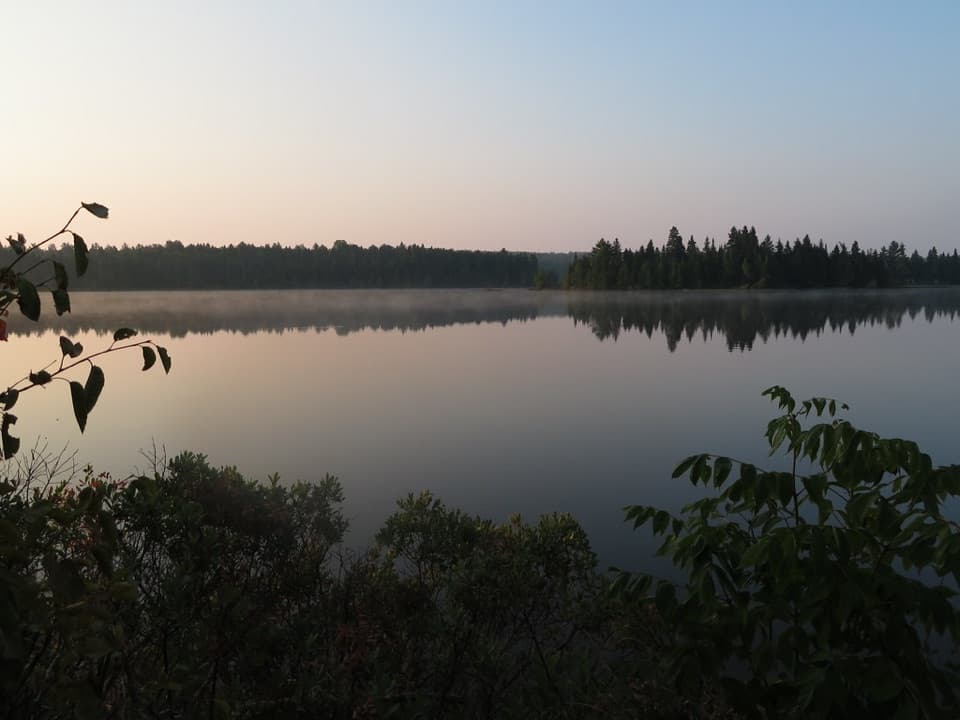
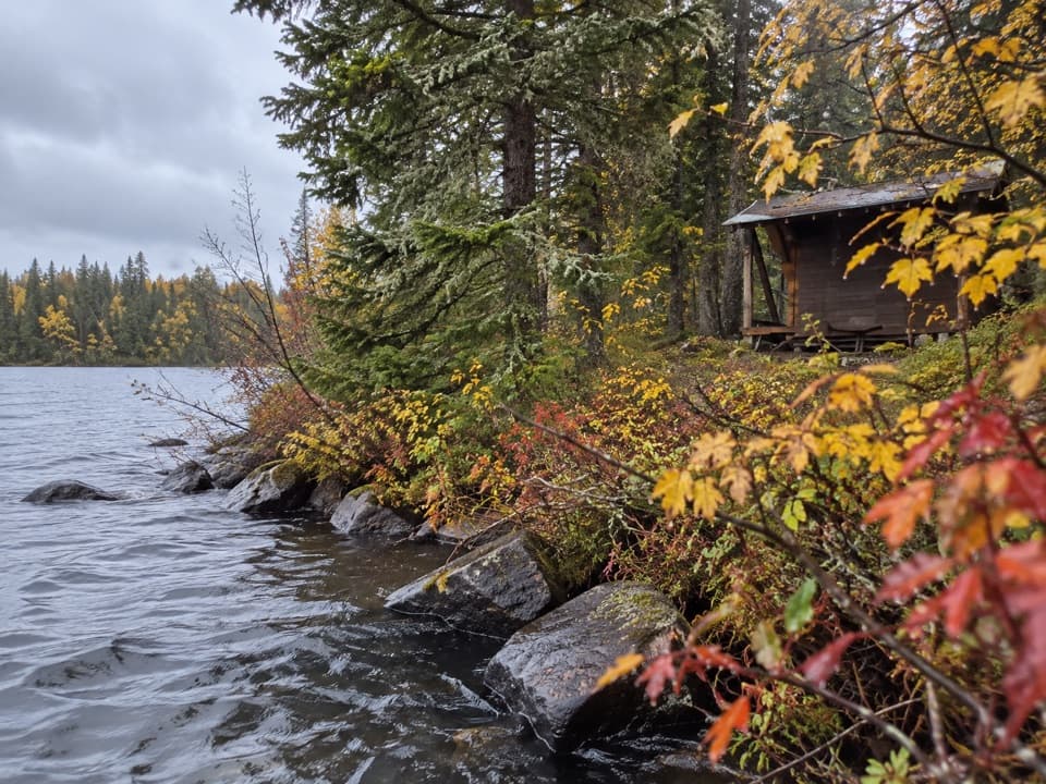
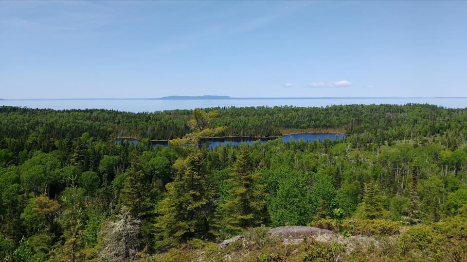
Expect a varied mix of shaded forest, lakeshore stretches, beaver ponds, and occasional swampy patches crossed on boardwalks. The landscape tells a story—glacially carved ridges and basins, pockets of exposed bedrock, dense boreal forest, and areas still showing the scars of the 1936 fire. It’s low on big climbs and high on subtle beauty. Keep an eye (and ear) out for moose browsing in the shallows and loons calling from the interior lakes; beavers are common around the ponds.
Trail Experience
On foot, this is an easy, relatively flat connector with minor roots and rocks. With a canoe on your shoulders, it feels longer—still very doable, but you’ll earn that next paddle stroke. Most backpackers fold this segment into larger routes: link west on the Indian Portage Trail to reach Lake Richie Campground or climb toward the Greenstone Ridge for sweeping ridge-top views later in your trip. It’s a practical, scenic segment rather than a stand-alone “wow” hike—and that’s exactly why it’s useful.
Tips & Tricks
- Bugs are no joke early summer; mosquitoes and black flies can be intense—bring serious protection.
- Boardwalks get slick when wet; wear sturdy footwear and watch your step.
- Water is plentiful from interior lakes; always treat before drinking and check with rangers about any current algal advisories before you draw from lakes.
- This is a footpath only—no bikes—and pets aren’t allowed in the park.
- If you’re chasing ridge vistas, consider continuing via Indian Portage to gain the Greenstone Ridge later in your itinerary.
Best Time to Hike
Late spring through early fall (June–September) is prime: milder temps, open services, and navigable boardwalks. Shoulder months can be quieter but still buggy; mid-summer brings the most reliable conditions for both hikers and paddlers. Winter isn’t practical here—temperatures drop, and most visitor services and ferries don’t operate.
Bottom Line
Underrated but essential. Lake Richie Trail won’t blow you away with grand viewpoints, yet it delivers calm water scenes, wildlife chances, and straightforward miles that unlock some of Isle Royale’s best interior camping, paddling, and loop options.
Elevation
1.9 mi · 1.2 hrWildlife on this trail
Near Lake Richie Trail
All places →All trails →
Scoville PointWind-swept Lake Superior views at the end of the Stoll loopScenic Viewpoint
Moskey BasinWaterfront camp with quiet sunrises, loons, and a friendly dockRestroom · Campground
Belle Isle CampgroundRemote boat-in campground with big Lake Superior viewsCampground · Restroom
Daisy Farm CampgroundBig, social basecamp with shelters, dock, and Lake Superior viewsTrailhead · Restroom
Greenstone Ridge TrailRidge traverse crossing Isle Royale from Rock Harbor to WindigoChallenging · 40 mi · 120 hr
Minong Ridge TrailRemote, rugged ridge traverse with big Lake Superior views.Challenging · 32.1 mi · 48 hr
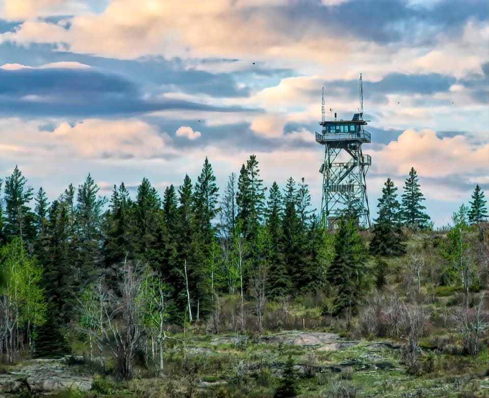
Mount Ojibway TrailSteady climb to a historic fire tower and big Lake Superior viewsModerate · 3.4 mi · 1.5 hr
Moskey Basin TrailCairn-marked shoreline walk to sunrise views and quiet camping.Moderate · 3.5 mi · 2.5 hr