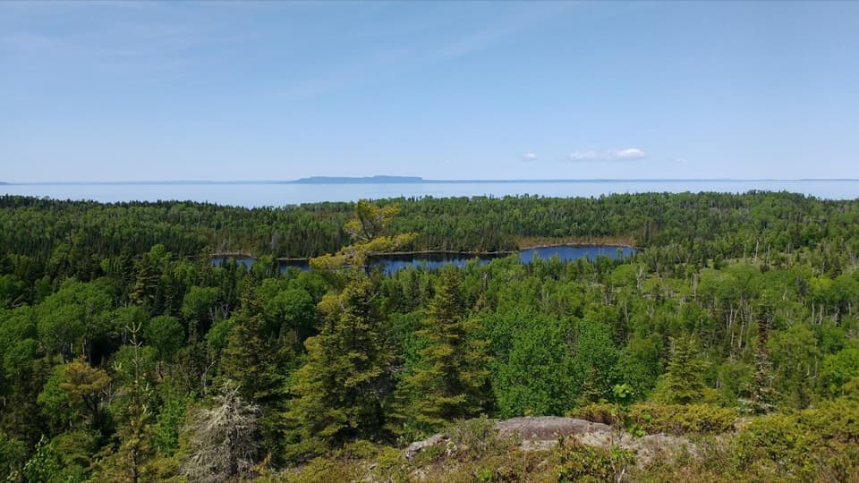
Parking
No car parking or road access at Daisy Farm. Reach the campground dock by boat, water taxi, or passenger ferry, or hike in on the Rock Harbor Trail.
#7 of 39 trails in Isle Royale
Isle Royale National Park, MI
A steep island climb to a historic tower and ridge views.
Overview
Map & elevation
Plan your hike

The highest, rockiest slopes around here are a summer buffet for grizzly bears.
Isle Royale Tour Guide
Parkwolf is a GPS audio tour guide for Isle Royale National Park. As you drive, it chimes in with what’s ahead: hidden gems, upcoming stops, history, geology, and wildlife, right through your car’s speakers.
“Fantastic app with many points of information… It’s great to just turn on while you’re driving and it gives you an audio tour of the national Park. We love it!!!!”


Trail guide
Mount Ojibway Trail is a 3.4-mile out-and-back from the Daisy Farm dock and campground to Ojibway Tower on Greenstone Ridge. The climb itself is about 1.7 miles, then you retrace the same path to get back. Allow 2 to 3 hours. This is a short but steep island hike, a good choice if you are already at Daisy Farm and want a real climb with a historic lookout at the top. If you are starting elsewhere, getting to the trail takes its own planning; this is not a roadside trailhead.
The route leaves the Daisy Farm campground and climbs toward Greenstone Ridge. The tread is about 18 inches wide, with rocks and roots, so the footing takes attention. The ascent is steep, and the narrow trail gives you little room to wander while looking around. A short wooden boardwalk crosses the mapped route in its upper stretch, about half a mile before the tower. Trail conditions can change, so carry a map and compass and know how to use them. For this standalone hike, you return on the same corridor. The 5.1-mile Daisy Farm Triangle is a different outing that adds Daisy Farm and Greenstone Ridge trail segments; it is not the length of this hike.
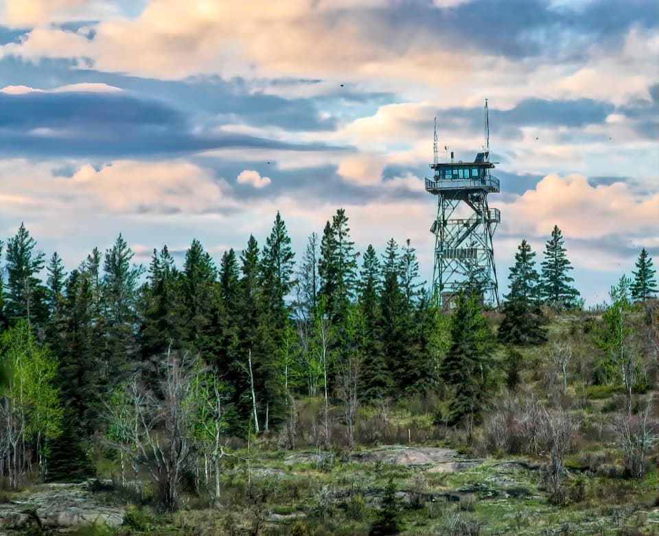
Ojibway Tower stands on Mount Ojibway at the eastern end of the island. The tower room is closed, but visitors can climb partway up the outside stairs for a wider view of the island's interior lakes and bays. On a clear day the ridge and water carry the view toward the island's far eastern end. For a photo that says where you are, include some of the steel tower and the forested ridge instead of framing only open water.
After a major 1936 fire, the Civilian Conservation Corps built the island's first fire towers in 1939, including a timber tower at Mount Ojibway. A steel tower replaced it at the same site in 1964. The lookouts were later retired from fire spotting; Ojibway now carries communications equipment that supports park operations. Isle Royale's three historic towers were added to the National Register of Historic Places in 2021 for their connection to fire management.
There is no road access or car parking at Daisy Farm. Reach the dock by private or rental boat, water taxi, or passenger ferry, or hike in on the Rock Harbor Trail. Arrange the island transport before setting aside time for the hike. The campground has seasonal vault toilets, food lockers, and non-potable water, but no camp store or potable water; bring your food and drinking water. The trail has no reservation or activity fee, though park entrance fees may apply. Pets are not allowed. If you stay overnight, a free camping permit is required; that rule is for camping, not the day hike.
Wildlife
 308 sightingsMooseMost seen around 8 PMSighting map
 93 sightingsWolfMost seen around 8 PMSighting map
 77 sightingsBald EagleMost seen around 5 PMSighting map
 150 sightingsLoonMost seen around 7 AMSighting map
 24 sightingsTrumpeter SwanMost seen around 6 PMSighting map
 71 sightingsBeaverMost seen around 8 PMSighting map
Sighting maps show where each species has been reported across Isle Royale. Wildlife moves, so no sighting is guaranteed.
Keep exploring
 ModerateDaisy Farm Triangle5.1 mi · 3.5 hr · 0.2 mi awayBoardwalks, ridge climbs, and a historic tower above the island.
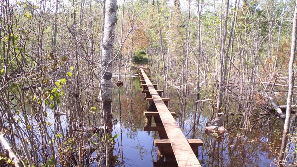 ModerateDaisy Farm Trail1.7 mi · 1.3 hr · 0.2 mi awayBoardwalks cross beaver wetlands on the climb to the ridge.
 EasyEdisen Fishery–Rock Harbor Lighthouse Trail0.4 mi · 30 min · 0.6 mi awayA short boat-in loop links a historic fishery and lighthouse.
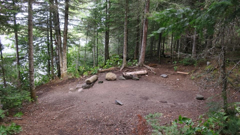 ModerateLane Cove Trail2.3 mi · 1.8 hr · 2.9 mi awaySteep birch switchbacks end at a cove-side Lake Superior campground.
 EasyMott Island Trail2.3 mi · 1.5 hr · 3.1 mi awayA shoreline loop around the island that holds the summer headquarters.
 ModerateMount Franklin Trail2.3 mi · 2.5 hr · 3.6 mi awayA steep climb to the island’s broad northward view.
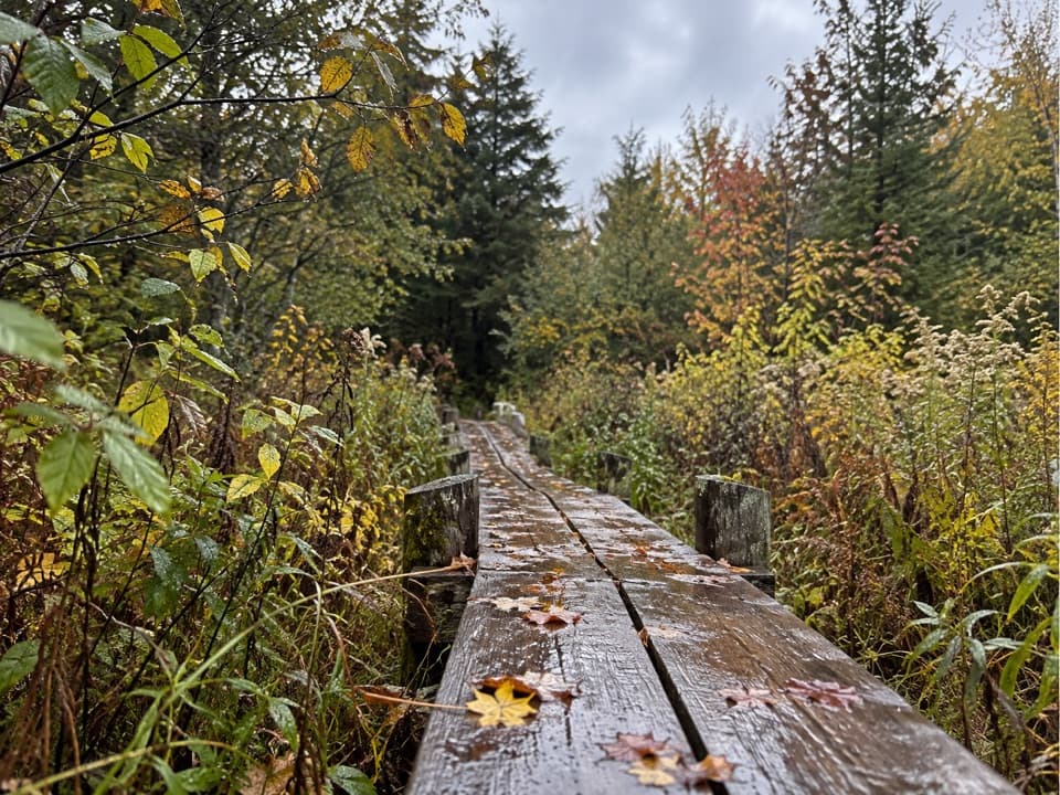 ModerateLake Richie Trail1.9 mi · 1.3 hr · 4.7 mi awayA narrow backcountry connector through wetlands and rocky outcrops.
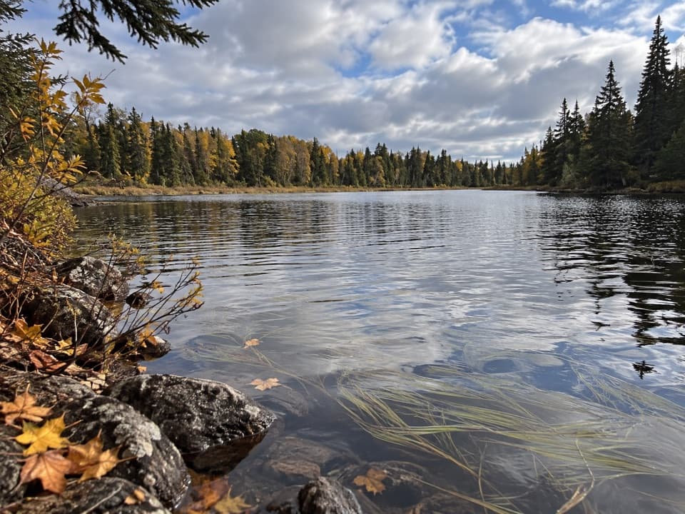 EasyLake Mason Access Trail0.6 mi · 24 min · 5 mi awayA short side trip to the bluff above Lake Mason.
 Campground · At the trailheadDaisy Farm CampgroundA Lake Superior base camp where three trails meet.
 Sight · 0.4 mi awayBangsund CabinA fishery cabin opens onto Isle Royale’s wolf-and-moose story.
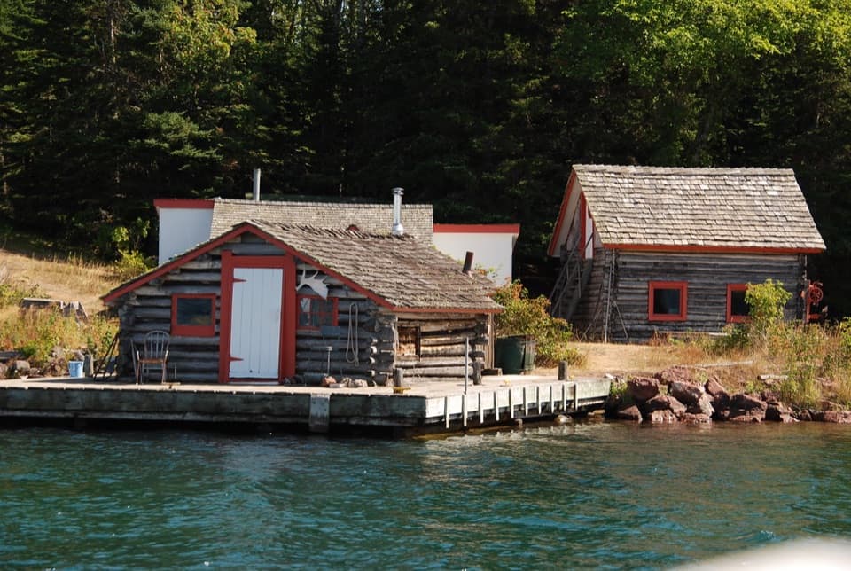 Sight · 0.6 mi awayEdisen FisheryA preserved fish camp makes the island's working past tangible.
 Sight · 0.8 mi awayRock Harbor LighthouseAn 1855 lighthouse with a keeper’s-house museum at Rock Harbor’s entrance.
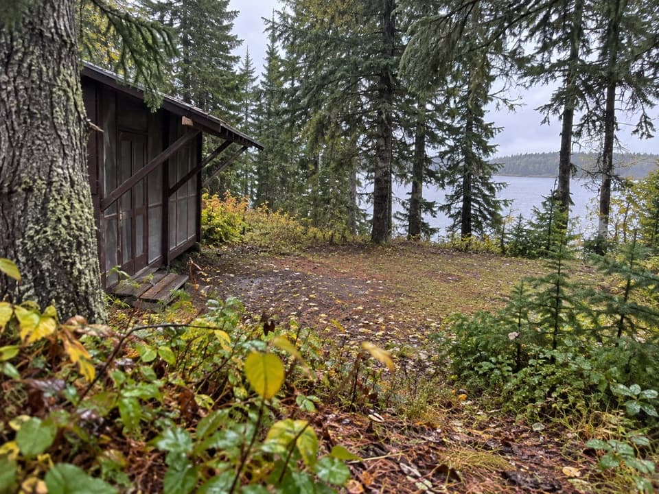 Campground · 1.1 mi awayCaribou Island CampgroundA boat-in campground with two shelters on Rock Harbor Channel.
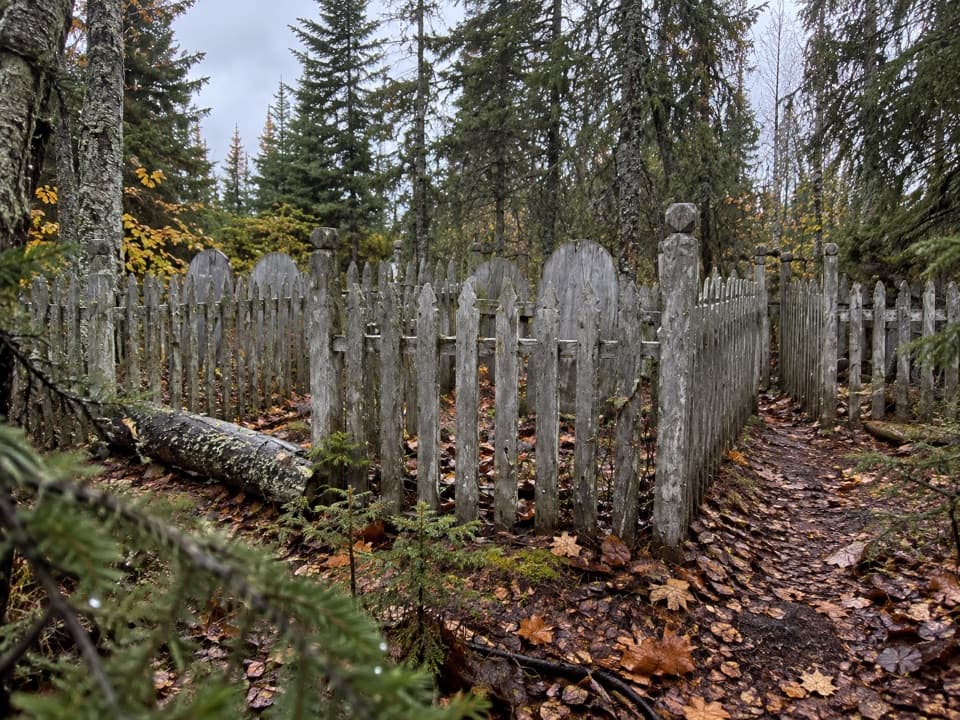 Sight · 1.2 mi awayCemetery Island CemeteryA small island cemetery with unresolved mining and shipwreck stories.Sight · 1.3 mi awayOjibway TowerA historic lookout crowns Greenstone Ridge above its interior lakes.Sight · 2.8 mi awayMount FranklinA long ridge hike opens up a view of Canada.
Parkwolf’s Isle Royale ranking

The audio tour guide for the drive, plus offline maps, trails, and wildlife heatmaps for when the signal drops.