Parking
There is no road access or car parking on Passage Island. Reach it on the seasonal MV Sandy excursion from Rock Harbor, or by private boat; Passage Island Dock is day use only, not an overnight stop.

Isle Royale National Park, MI
A short island walk to Isle Royale’s 1882 lighthouse.
Overview
Map & elevation
Plan your hike

The highest, rockiest slopes around here are a summer buffet for grizzly bears.
Isle Royale Tour Guide
Parkwolf is a GPS audio tour guide for Isle Royale National Park. As you drive, it chimes in with what’s ahead: hidden gems, upcoming stops, history, geology, and wildlife, right through your car’s speakers.
“Fantastic app with many points of information… It’s great to just turn on while you’re driving and it gives you an audio tour of the national Park. We love it!!!!”


Trail guide
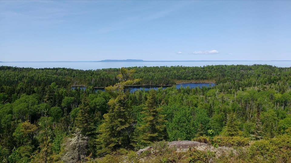
Passage Island Trail is about 1.6 miles round trip from the day-use dock across Passage Island to the lighthouse and back. If you’re already making the boat trip from Rock Harbor, this is a good reason to spend time ashore: a short walk leads to a real 1882 light station on a rocky Lake Superior shore. It’s a small outing, not a mileage-heavy hike.
A broad path crosses the island from the harbor to Passage Island Light. Follow the same corridor out and back; it’s about 0.8 mile each way. The ground is rugged and rocky, so expect uneven footing rather than a smooth stroll. Allow about an hour on foot, with time to look around. Bring sturdy shoes and water.
Passage Island is an area of low moose presence, and thick vegetation lines the route. Don’t plan this as a moose-viewing stop; the main draw is the unusual island setting and the light at the end.
Passage Island Light was built in 1882. Its stone tower stands above the rocky shore and marks the channel between the island and Isle Royale. The lighthouse buildings aren’t open to visitors, so plan on seeing them from outside. The rocky shore makes a stronger photo than a tight tower-only shot.
The usual access is the seasonal MV Sandy excursion from Rock Harbor. Private boats may also use Passage Island Dock, which is for day use only. Lake Superior wind and waves can cancel or redirect a boat trip, so confirm the excursion before planning around it. Pets aren’t allowed in Isle Royale National Park.
Wildlife
 308 sightingsMooseMost seen around 8 PMSighting map
 93 sightingsWolfMost seen around 8 PMSighting map
 77 sightingsBald EagleMost seen around 5 PMSighting map
 150 sightingsLoonMost seen around 7 AMSighting map
 24 sightingsTrumpeter SwanMost seen around 6 PMSighting map
 71 sightingsBeaverMost seen around 8 PMSighting map
Sighting maps show where each species has been reported across Isle Royale. Wildlife moves, so no sighting is guaranteed.
Keep exploring
 ModerateLookout Louise Trail2 mi · 1.3 hr · 7.3 mi awayA rocky climb past Monument Rock opens over Duncan Bay.
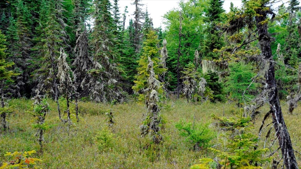 EasyRaspberry Island Trail0.9 mi · 45 min · 8.3 mi awayBoardwalks lead into a tiny bog before the rocky shore.
 ModerateScoville Point Loop4.2 mi · 3 hr · 8.3 mi awayA rough lakeshore and wooded harbor side meet at Scoville Point.
 ModerateSuzy’s Cave Loop3.8 mi · 3.5 hr · 8.3 mi awayA rocky shoreline loop to Isle Royale’s inland sea arch.
 ModerateRock Harbor Trail11 mi · 7 hr · 8.3 mi awayAn 11-mile rocky shoreline hike from Rock Harbor to Moskey Basin.
 ModerateStoll Memorial Trail (Short Loop)1.8 mi · 1.5 hr · 8.3 mi awayA wooded and rocky interpretive loop near Rock Harbor.
 EasyTobin Harbor Trail3 mi · 3 hr · 8.4 mi awayHarbor islands and an inland sea arch off an easy woodland walk
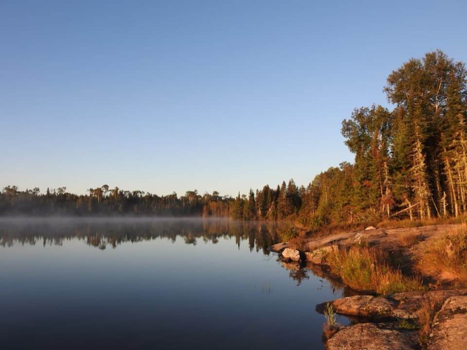 ChallengingHarbor to Hills Loop33.2 mi · 1.3 days · 8.4 mi awayA 33-mile island loop climbs from Lake Superior shore to Greenstone Ridge.
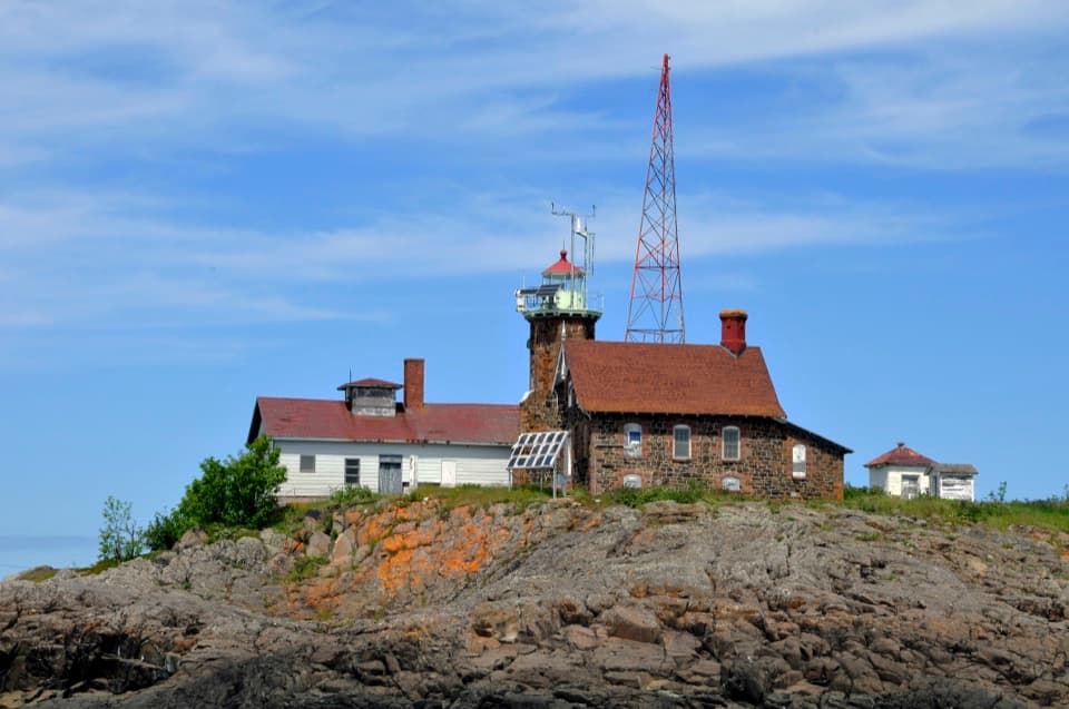 Sight · 0.7 mi awayPassage Island LighthouseStill guiding ships through a narrow Lake Superior passage.
 Sight · 4.6 mi awaySS Monarch WreckA 240-foot freighter struck the Palisades in a 1906 snowstorm.
 Campground · 4.7 mi awayMerritt Lane CampgroundA boat-only camp with one shelter, one tent site and a dock
 Sight · 6.4 mi awayScoville PointA rocky cape with Lake Superior opening beyond the islands.
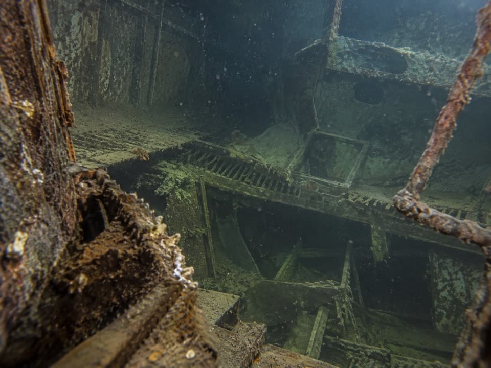 Sight · 6.6 mi awaySS Emperor WreckA cold-water dive into a largely intact 525-foot freighter.
 Campground · 7.1 mi awayDuncan Narrows CampgroundA boat-in campground with one tent site and two shelters.
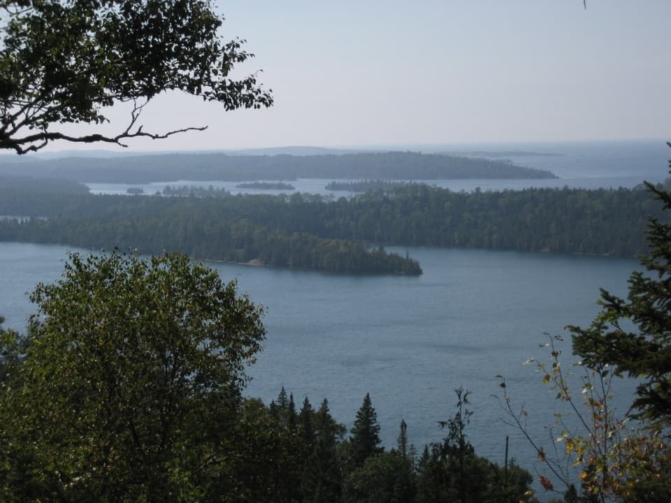 Sight · 7.4 mi awayLookout LouiseA broad Lake Superior view, if you're up for the rocky mile.
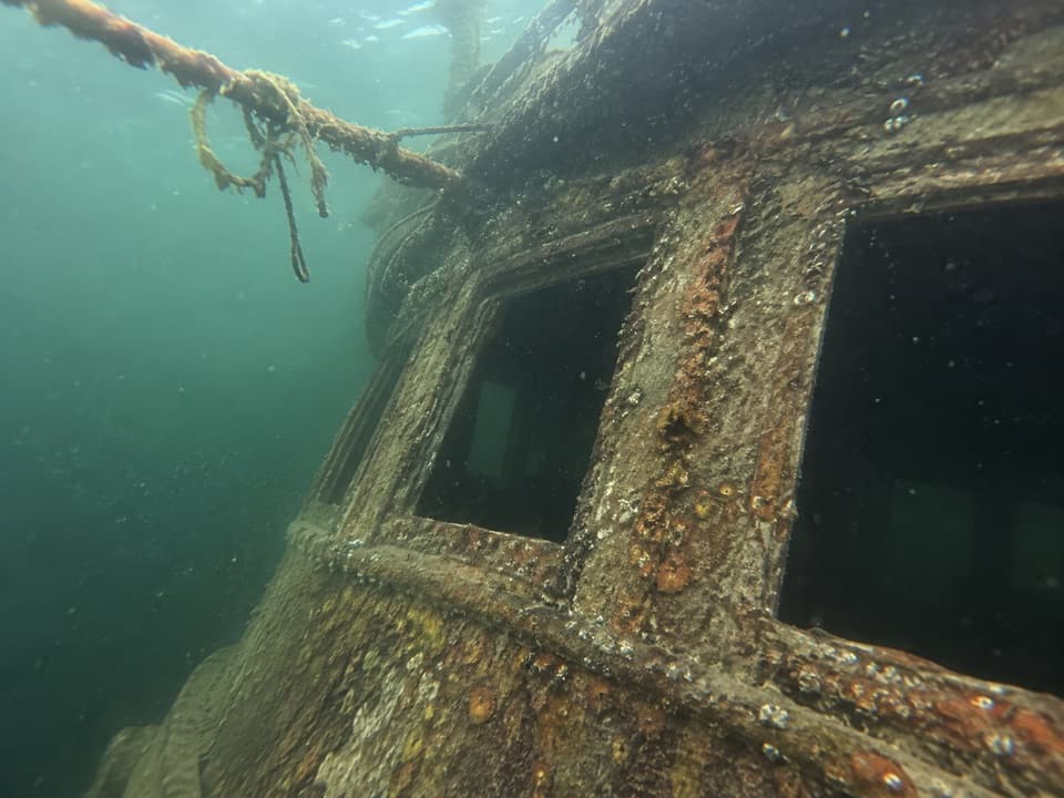 Sight · 7.7 mi awaySS Chester A. Congdon WreckAn upright freighter bow waits in Lake Superior's deep, cold water.
Parkwolf’s Isle Royale ranking

The audio tour guide for the drive, plus offline maps, trails, and wildlife heatmaps for when the signal drops.