Indian Ridge in Jasper National Park

Sight · Jasper National Park

Indian Ridge

High‑alpine ridgewalk with huge views, a short SkyTram away

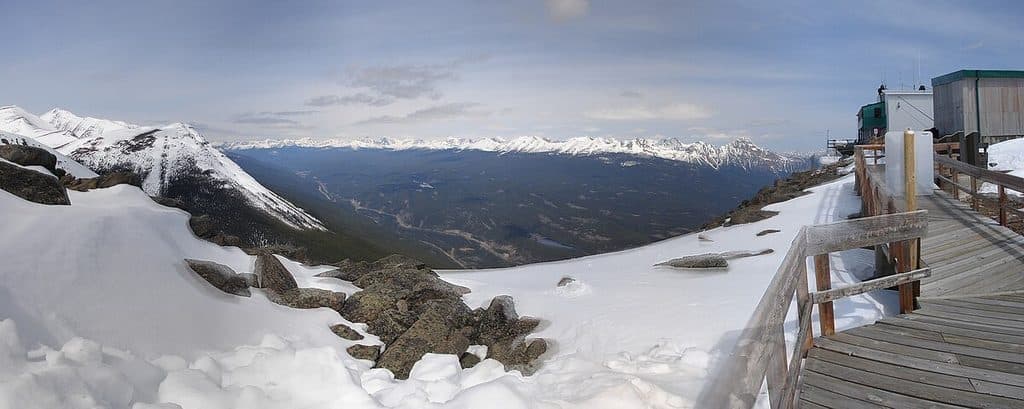
Photo: Wikimedia Commons
Type
Sight
Nearest trail
3.6 km
  • Scenic viewpoint
  • #24 of 81 sights
Parkwolf audio tour157 stories across Jasper’s roads

Overview

About Indian Ridge

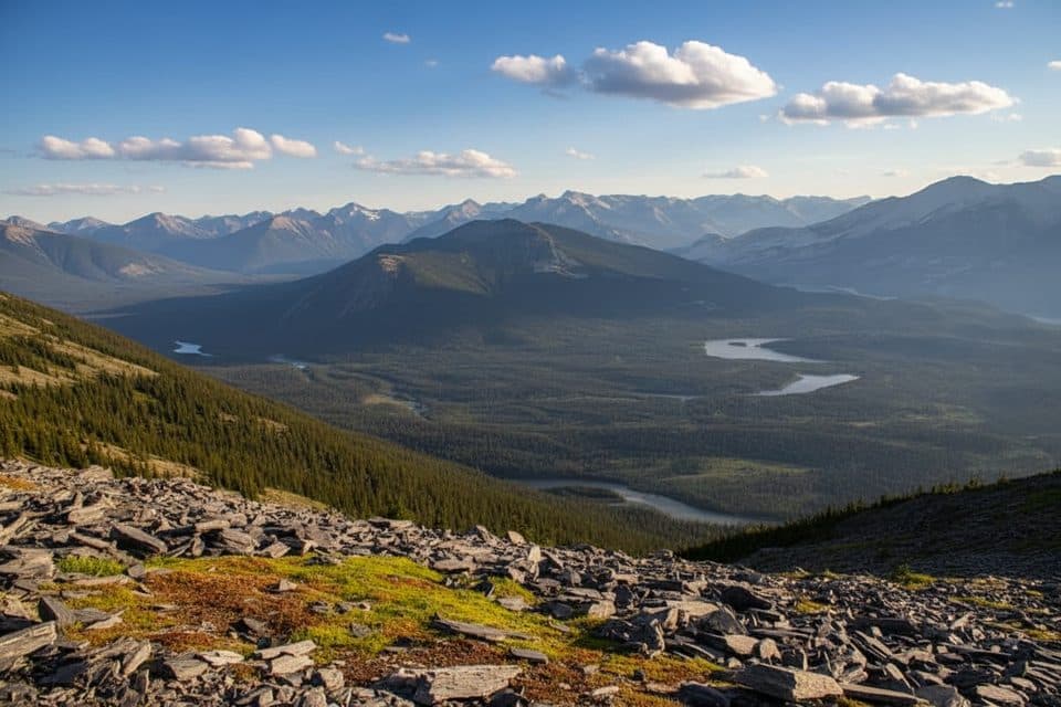
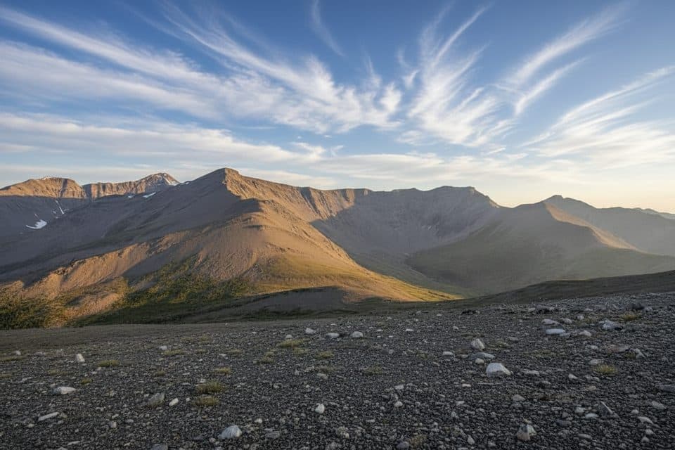
Indian Ridge is the serrated alpine backbone you can see beyond Whistlers Mountain. It feels properly wild and high, yet it’s surprisingly accessible thanks to the Jasper SkyTram start. Expect big horizons, a true ridge‑walk vibe, and far fewer people than on Whistlers.

Why stop

  • SkyTram access saves major elevation and time
  • Huge 360° alpine views away from Whistlers’ crowds
  • Frequent wildlife sightings, including mountain goats

Heads up

  • Loose scree and a steep final scramble
  • Fully exposed to wind, storms, and lightning

Map

Where it is

Loading the Jasper map
Full map
SightIndian Ridge52.81000, -118.15833
Keep this map with you offline in the Parkwolf app

Local know-how

Tips for visiting Indian Ridge

  1. Ride the SkyTram to skip roughly the first 1000 m of ascent.

  2. Start early to avoid afternoon storms and stronger ridge winds.

  3. Download the route and maps—navigation gets tricky in cloud or early snow.

  4. Pack layers, a windproof shell, gloves, and plenty of water; there are no sources.

  5. Carry bear spray and give wildlife lots of space.

Plan your stop

Before you go

Best time to visit

  • Season: Mid‑July through September offers the most reliable footing and wildflowers.
  • Time of day: Start early for calmer winds, clearer views, and to dodge afternoon storms.
  • Crowds: Weekdays see fewer people, and most stop at Whistlers—keep going for solitude.
  • Photography: Morning light is kinder on the ridge; golden hour is gorgeous if you can line it up with your SkyTram schedule back down.

Planning and Safety

There’s no water, no shelter, and no facilities on the ridge. Weather turns fast at this elevation; wind, hail, and lightning are real. Helmets aren’t mandatory, but the loose rock makes them a smart call if you’re uncomfortable with rockfall. Check for any seasonal or temporary route closures before you commit.

8 active Jasper alerts

  • ClosureWildfire-impacted areas and facilities closedStay out of closed wildfire-impacted areas and facilities in Jasper National Park; closures protect public safety after the 2024 wildfire and remain in effect while recovery and safety work continues.Official details
  • Closure93A (Wabasso Road) no through travel during roadworkFrom mid-October to early November 2026, plan for 93A (Wabasso Road) to be accessible from the south entrance only; no through travel is expected during roadwork.Official details
See all 8 alerts
A park ranger sits on a dash-mounted phone, talking, as Parkwolf’s Tour Guide plays “Army Cutworm Moths: A Grizzly Bear Buffet” on Grand Loop Road below Dunraven Pass in Yellowstone
Parkwolf Tour GuideThe highest, rockiest slopes around here are a summer buffet for grizzly bears.

Jasper Tour Guide

Your drive to Indian Ridge, narrated.

Parkwolf is a GPS audio tour guide for Jasper National Park. As you drive, it chimes in with what’s ahead: hidden gems, upcoming stops, history, geology, and wildlife, right through your car’s speakers.

See the Jasper audio tour

More stories near here in the app

  • Reading the Rocks: How the Rockies Were Built
  • Jasper SkyTram: Ride to the Rooftop of Jasper
  • Marmot Basin Ski Area
  • Whistlers Peak Trail: Hike Up, Ride Down
  • 157 audio storiesacross Jasper’s roads, triggered by GPS as you drive
  • Wildlife heatmapsfor Grizzly Bear, Caribou, Gray Wolf, and 13 more
  • Works offlinemaps, 91 trails, 129 places, and audio download before you lose signal
  • CarPlay readysimple controls built for the drive
★★★★★
“Fantastic app with many points of information… It’s great to just turn on while you’re driving and it gives you an audio tour of the national Park. We love it!!!!”
JMJamesApp Store review
Download Parkwolf on the App StoreGet Parkwolf on Google Play

4.7 from 8,600+ ratings

Guide

More about Indian Ridge

Route and DifficultyMost hikers ride the SkyTram, tag Whistlers Summit, then drop into the saddle and climb Indian…

Most hikers ride the SkyTram, tag Whistlers Summit, then drop into the saddle and climb Indian Ridge. It’s straightforward at first, but the final push is a genuine scramble on loose shale and scree. You need sure footing and a head for exposure. In clear weather the route is obvious; in fog, early snow, or smoke it can be tricky—have offline maps sorted before you go.

What You’ll SeeFrom the crest, you get sweeping views of Jasper’s peaks and valleys—Pyramid Mountain, The…

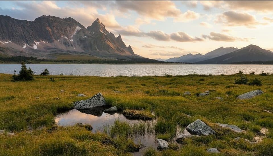
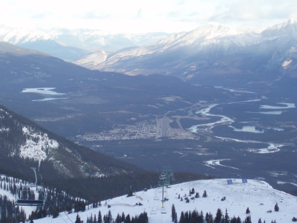
From the crest, you get sweeping views of Jasper’s peaks and valleys—Pyramid Mountain, The Whistlers, distant glaciers, and the town far below. In late summer, hardy alpine wildflowers (think gentians) speckle the wind‑worked rock. It’s a classic Canadian Rockies panorama that just keeps expanding as you gain the ridge.

WildlifeMountain goats are regularly spotted near the summit.

Mountain goats are regularly spotted near the summit. Marmots are common around Whistlers, and you may see birds of prey riding the thermals. Carry bear spray and know how to use it.

Geology NuggetYou’re walking on layered sedimentary rock—limestone and shale—older strata shoved over younger…

You’re walking on layered sedimentary rock—limestone and shale—older strata shoved over younger ones during the Laramide orogeny. It’s textbook Rockies mountain‑building on full display.

Wildlife

Wildlife in Jasper

All Jasper wildlife maps

Sighting maps show where each species has been reported across Jasper. Wildlife moves, so no sighting is guaranteed.

Keep exploring

Near Indian Ridge

See it all on the map

Trails nearby

More stops nearby

Parkwolf’s Jasper ranking

Top sights in Jasper

All 129 places
  1. 1Maligne LakeSight
  2. 2Mount Edith CavellSight
  3. 3Spirit IslandSight
  4. 4Athabasca FallsSight
  5. 5Columbia IcefieldSight
  6. 6Athabasca GlacierSight

Take Parkwolf to Jasper.

The audio tour guide for the drive, plus offline maps, trails, and wildlife heatmaps for when the signal drops.

4.7 from 8,600+ ratings

Download Parkwolf on the App StoreGet Parkwolf on Google Play