Parking
Use the marked roadside pullout on the east side of the Icefields Parkway, about 15.5 km north of the Columbia Icefield Centre. It is a small turnout.
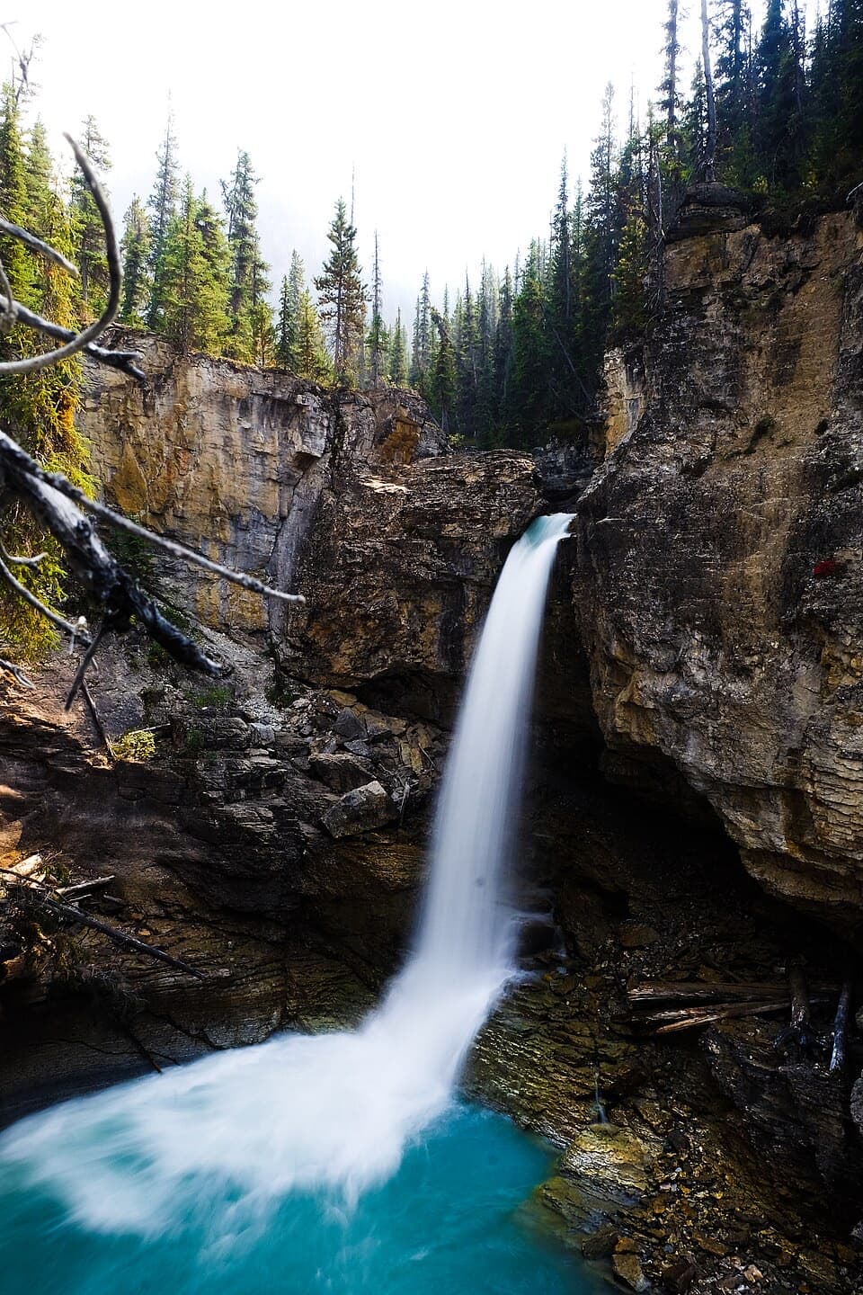
Jasper National Park, AB
A short climb to a string of falls in a tight canyon
Photo: Ezra Comeau, CC BY-SA 4.0, via Wikimedia Commons
Overview
Map & elevation
Plan your hike

The highest, rockiest slopes around here are a summer buffet for grizzly bears.
Jasper Tour Guide
Parkwolf is a GPS audio tour guide for Jasper National Park. As you drive, it chimes in with what’s ahead: hidden gems, upcoming stops, history, geology, and wildlife, right through your car’s speakers.
See the Jasper audio tourRecorded for this trailhead
Beauty Creek: The Walk to Stanley Falls“You're nearing the Beauty Creek pullout, the start of the walk to Stanley Falls. Choose this for a canyon hike past several cascades: allow sixty to ninety minutes for about three point two kilometres there and back.”
Plays as you drive up to this trailhead in the Parkwolf Jasper Tour Guide.
More stories near here in the app
“Fantastic app with many points of information… It’s great to just turn on while you’re driving and it gives you an audio tour of the national Park. We love it!!!!”


Trail guide
Beauty Creek to Stanley Falls is a 2.0-mile (3.2-kilometre) out-and-back from a small Icefields Parkway pullout to the named waterfall. The mapped one-way corridor is about 1 mile, and most people allow 60 to 90 minutes. You get an open creek-side approach, then a steeper walk into a narrow canyon past several cascades. It’s a good break in a long drive if you want a short hike with more character than a roadside viewpoint.
Follow the creek dike from the pullout. The first roughly 0.6 kilometre is open and mostly level, with Tangle Ridge and other peaks across the parkway. The route then joins the old Banff–Jasper highway grade before turning back alongside Beauty Creek. Around 0.7 kilometre in, leave the old grade near the broken crossing for the narrower creek-side footpath.
The uphill section follows Beauty Creek through a forested slot canyon, with several cascades along the way. A log bench viewpoint around 1.4 kilometres in looks toward a smaller fall; Stanley Falls is the main turnaround farther along. The route mapped here ends at the named falls, then returns over the same ground. The tread fades beyond the falls, so treat any farther exploration as an unmaintained extension and bring the route-finding experience for it.
At the main drop, let the layered canyon walls frame the water for scale. Some short spurs get closer to the edge; stay on the established tread instead of stepping out for a better angle.
The open start can make this seem like an easy stroll, but the creek-side climb is narrow and steep in places, with roughly 100 to 125 metres of ascent depending on the track. The canyon edges are unfenced, and footing can be uneven. Keep children close. Dogs are allowed on leash, no longer than 3 metres. Winter restrictions are unclear; check current Parks Canada conditions before a winter visit.
Use the marked roadside turnout on the east side of the Icefields Parkway, about 15.5 kilometres north of the Columbia Icefield Centre. It’s a small pullout, not a full-size parking lot. The Columbia Icefield Centre south along the parkway has food and drinks.
Beauty Creek canyon was a popular roadside attraction before the Icefields Parkway was rerouted in the 1960s. The walk still follows part of the old highway grade before it leaves the open corridor for the creek and its waterfalls.
Wildlife
 175 sightingsGrizzly BearMost seen around 8 PMSighting map
 43 sightingsCaribouMost seen around 7 AMSighting map
 41 sightingsGray WolfMost seen around 6 AMSighting map
 12 sightingsCanada LynxMost seen around 8 PMSighting map
 320 sightingsMooseMost seen around 6 AMSighting map
 1,048 sightingsElkMost seen around 7 AMSighting map
Sighting maps show where each species has been reported across Jasper. Wildlife moves, so no sighting is guaranteed.
Keep exploring
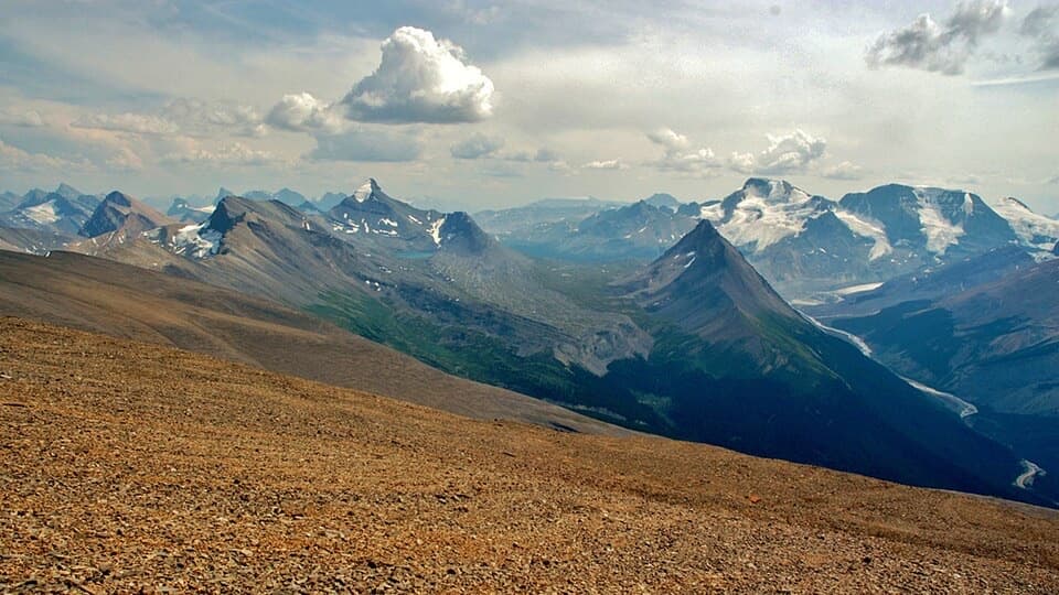 ChallengingTangle Ridge Trail10.8 km · 7 hr · 7.4 km awayA steep ridge climb earns a big view over peaks and glaciers.
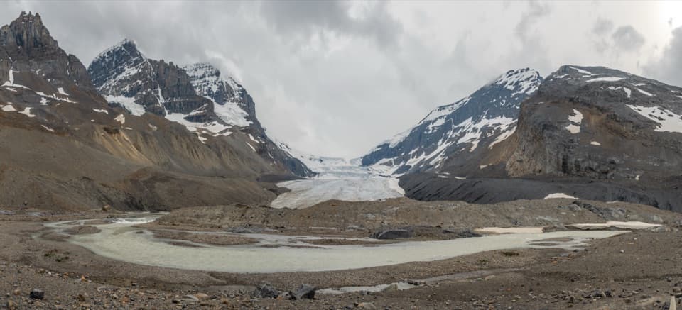 ModerateToe of the Athabasca Glacier Trail1.8 km · 1 hr · 14.4 km awayA rocky climb to a limestone bench with a close glacier view.
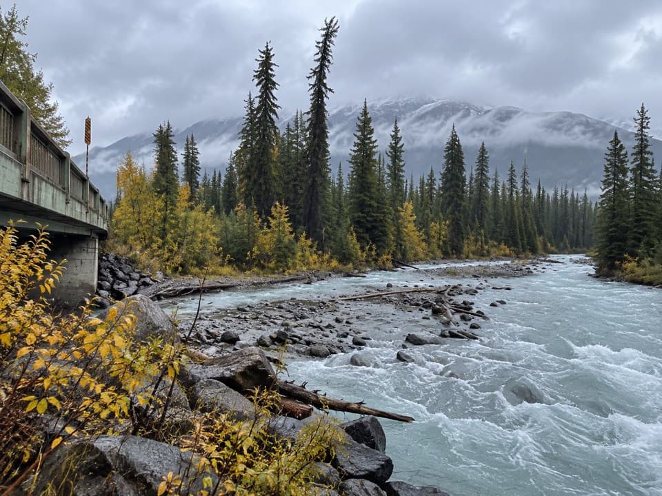 ChallengingMaligne Pass Trail48 km · 21 hr · 15.5 km awayWildflower meadows and a remote three-day crossing over Maligne Pass.
 ChallengingWilcox Pass Trail6.8 km · 2.5 hr · 15.7 km awayA steep forest climb opens into glacier-viewing alpine meadows.
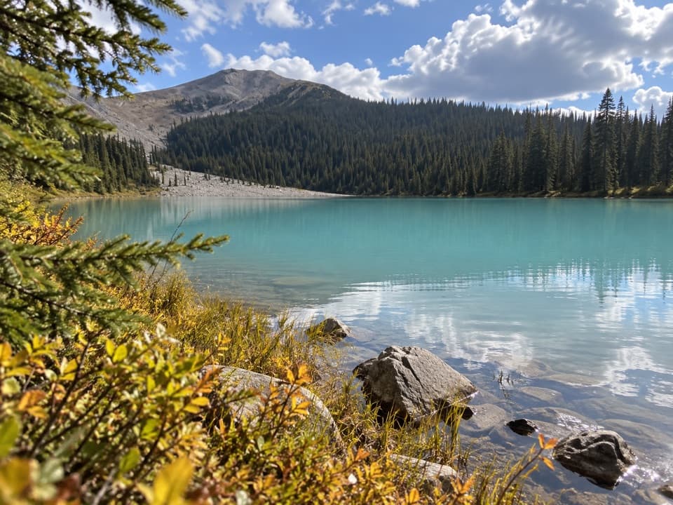 EasyBoundary Lake Trail2 km · 1 hr · 17.2 km awayA quick detour to Boundary Lake's bright turquoise water.
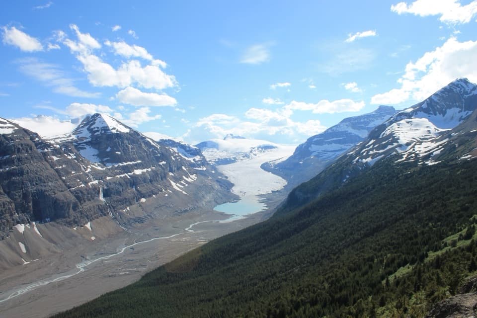 ModerateParker Ridge Trail5.6 km · 3 hr · 21 km awayA short climb earns a close view of Saskatchewan Glacier.
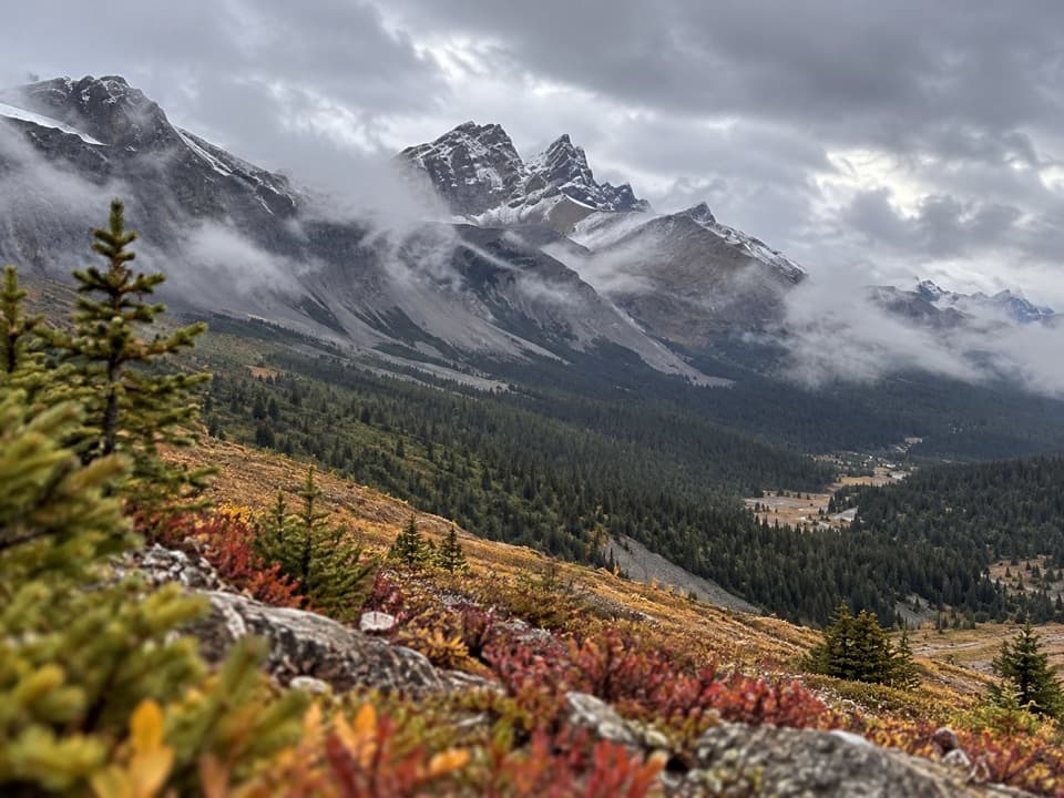 ChallengingBrazeau Loop81 km · 1.4 days · 23.7 km awayA five-day backpacking loop over three high passes and lake valleys.
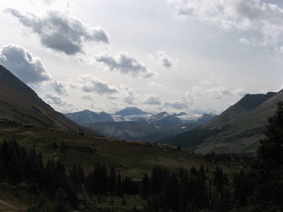 ModerateNigel Pass Trail14.6 km · 5 hr · 23.7 km awayA gentle creek approach gives way to a steep final kilometre.
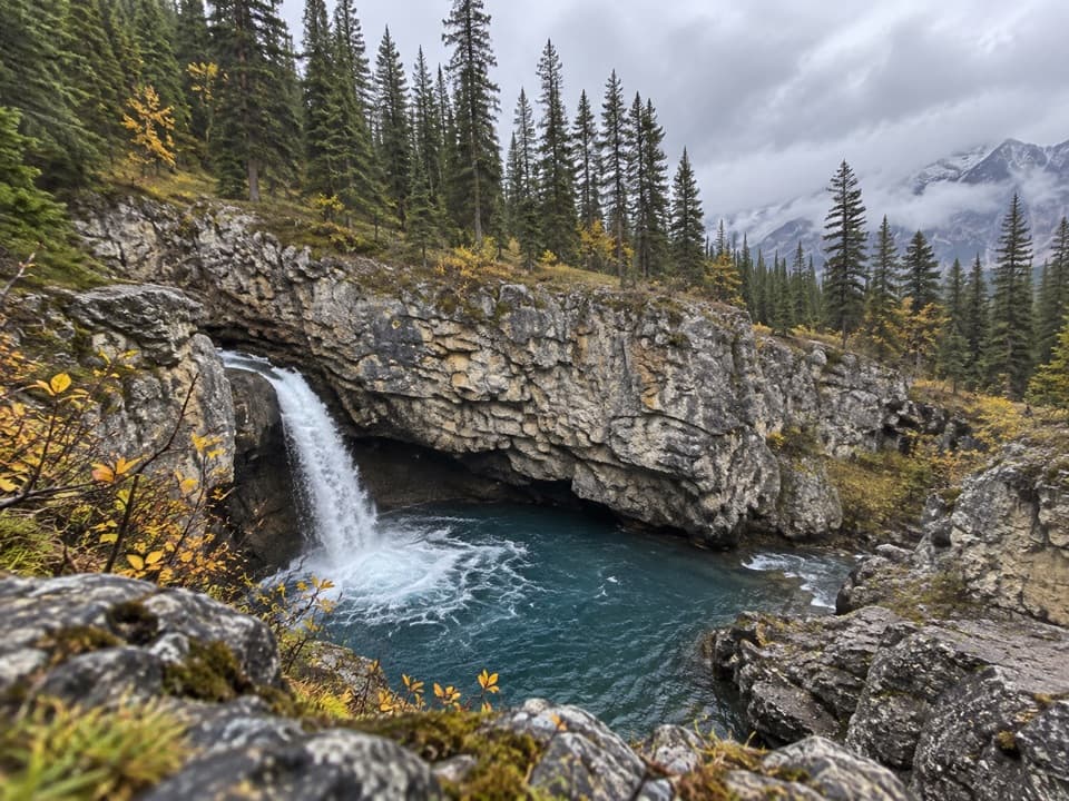 Scenic pullout · At the trailheadBeauty Creek ViewpointQuick roadside pause for Beauty Creek’s rush through a narrow canyon.Sight · 1.1 km awayStanley FallsA canyon walk that pays off in a string of falls.
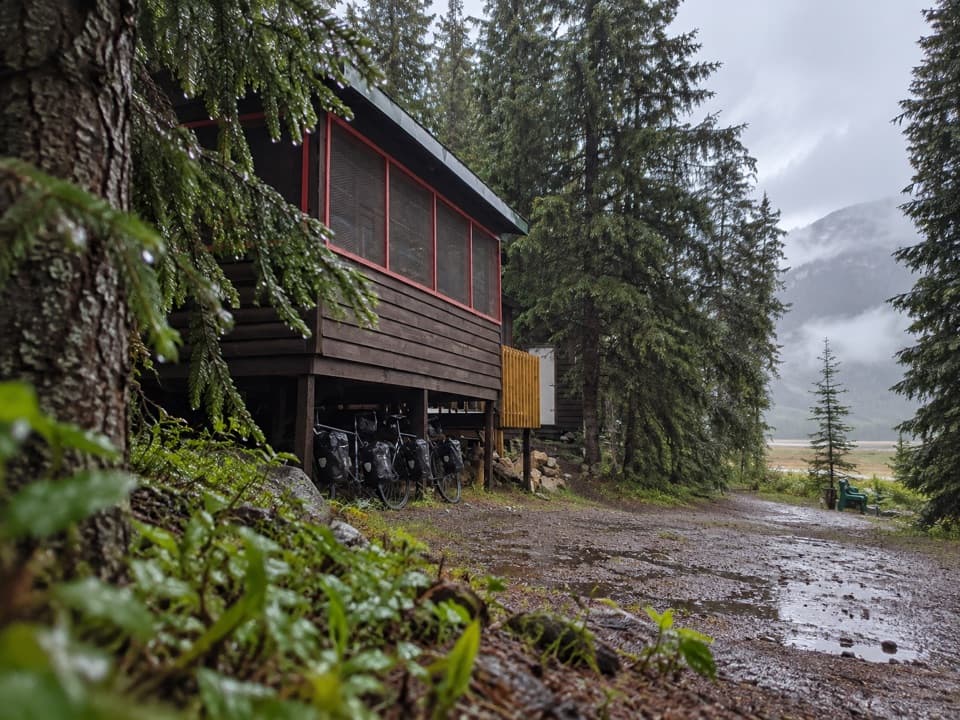 Lodging · 1.9 km awayHI Beauty Creek Wilderness HostelA quiet, off-grid night beside the Sunwapta River.
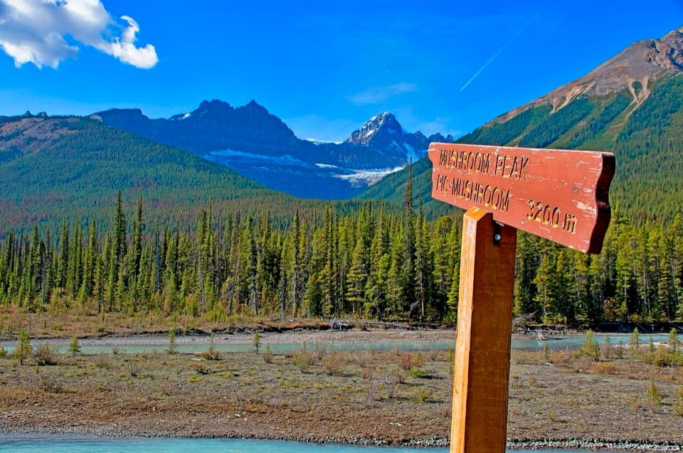 Scenic pullout · 3.5 km awayMushroom and Diadem Peaks ViewpointA quick roadside look at Mushroom and Diadem's paired peaks.
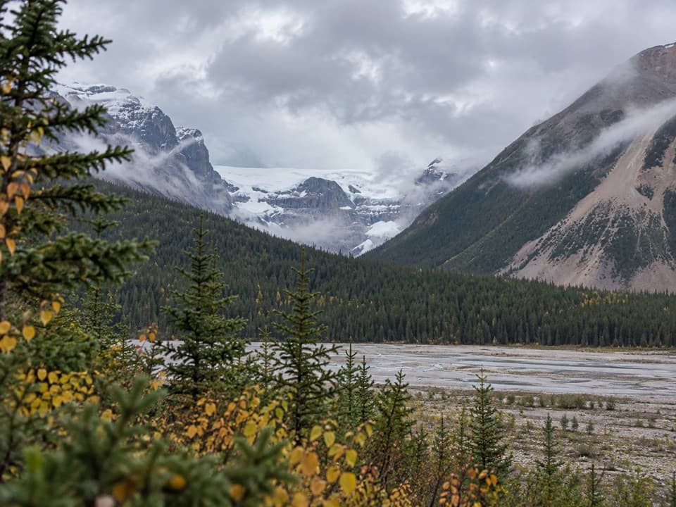 Scenic pullout · 6.2 km awayStutfield Glacier ViewpointA glacier view across a broad, braided valley.
 Sight · 7.4 km awayTangle FallsA braided cascade worth a brief stop on the Parkway.
 Sight · 8.2 km awayColumbia Icefield SkywalkA glass floor hangs 280 metres above the Sunwapta Valley.
 Campground · 10.8 km awayJonas CampgroundCreekside sites and a bike-camping area beside the cooking shelter.
Parkwolf’s Jasper ranking

The audio tour guide for the drive, plus offline maps, trails, and wildlife heatmaps for when the signal drops.




