Parking
Use the marked Parker Ridge parking area on Highway 93, about 9 km south of the Icefield Centre and just past Hilda Creek Hostel. The trailhead is in Banff National Park; park only in the designated area.
#9 of 74 trails in Jasper
Jasper National Park, AB
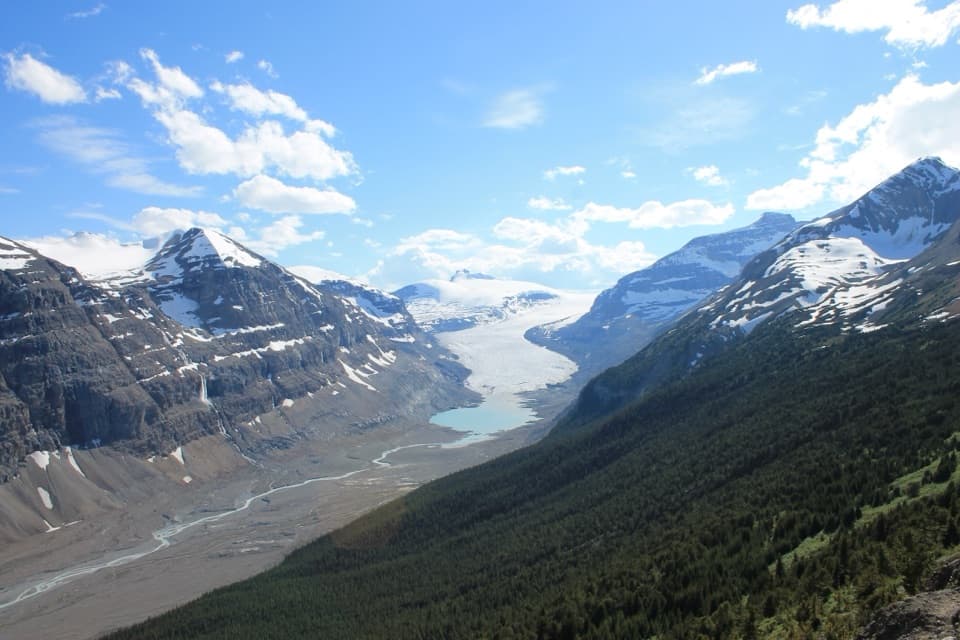
A short climb earns a close view of Saskatchewan Glacier.
Photo: Saskatchewan Glacier from Parkers Ridge trail.jpg — HeckelWik, CC BY-SA 4.0, via Wikimedia Commons
Overview
Parker Ridge Trail is a 5.6 km out-and-back from the Icefields Parkway to an open ridge above the Saskatchewan Glacier. The route climbs to a tundra crest, crosses it and dips slightly down the far side to the overlook, then returns along the same trail. Allow about three hours for roughly 250 m of elevation gain. If you want a half-day hike with a direct view of a major glacier, this is a strong choice. The uphill switchbacks are the main work; the exposed ridge is a better place to linger when the sky is clear. Keep walking past the crest: the glacier view opens just beyond it.
 Parkwolf’s verdictIs this the hike for you?
Map & elevation
Plan your hike

The highest, rockiest slopes around here are a summer buffet for grizzly bears.
Jasper Tour Guide
Parkwolf is a GPS audio tour guide for Jasper National Park. As you drive, it chimes in with what’s ahead: hidden gems, upcoming stops, history, geology, and wildlife, right through your car’s speakers.
See the Jasper audio tourMore stories near here in the app
“Fantastic app with many points of information… It’s great to just turn on while you’re driving and it gives you an audio tour of the national Park. We love it!!!!”


Trail guide
The signed Parker Ridge parking area is on Highway 93, about 9 km south of the Icefield Centre, just past Hilda Creek Hostel. The well-defined trail climbs in a series of steep switchbacks, so the first part can feel harder than the distance suggests. Higher up, the route opens onto tundra above tree line. The trail crosses the crest and continues a little down the far side; that short continuation is what turns the walk into a glacier overlook instead of just a ridge climb. On the return, you retrace the same path, so take care on the steep switchbacks as you descend.
The high point is not the turn-around. Continue over the ridge and slightly downhill to reach the intended viewpoint. From there the Saskatchewan Glacier fills the valley below, with its pale lake and braided meltwater channels at the foot of the ice. The route continues beyond the high point; the viewpoint lies a little farther down the far side. The trail is a single out-and-back corridor, not a loop, and the 5.6 km is the complete return walk, including the approach from the parking area.
In clear weather, look to the right for the glacier's source in the southern Columbia Icefield and Castleguard Mountain, 3,077 m high. Mount Saskatchewan, 3,342 m, stands across the glacier. This is Saskatchewan Glacier, not the Athabasca Glacier at the separate trail near the Icefield Centre. The viewpoint makes the connection between the high icefield, the long glacier tongue and the braided valley below easy to see. For a photo, include a little of the tundra ridge in the foreground with the glacier behind it; it gives the ice some scale without cropping away the surrounding peaks.
Parker Ridge is alpine tundra, and its small plants are easy to damage. From mid-July to mid-August, blue alpine forget-me-nots and cushions of pink moss campion flower across the ridge. Mountain goats also use this area, though a sighting is never guaranteed. Stay on the marked tread and leave the flowers where they grow. When blooms are out, frame them from the path rather than stepping off it for a closer foreground.
This is high, exposed terrain. Strong winds, cold rain and wet snow can arrive even in midsummer. Snow often covers the trail in June, and the route can remain wet into July. Parks Canada flags avalanche exposure on this trail, so check current avalanche and trail conditions before crossing snow slopes. An extra warm layer is useful on the open ridge.
The trailhead is in Banff National Park, though it appears in Jasper's Icefields Parkway hiking group. Dogs are not allowed on this trail. Use the marked parking area; roadside parking is prohibited. There are no gas stations between Jasper and Saskatchewan Crossing, 154 km south of Jasper, so leave town with enough fuel for the drive.
Wildlife
 175 sightingsGrizzly BearMost seen around 8 PMSighting map
 43 sightingsCaribouMost seen around 7 AMSighting map
 41 sightingsGray WolfMost seen around 6 AMSighting map
 12 sightingsCanada LynxMost seen around 8 PMSighting map
 320 sightingsMooseMost seen around 6 AMSighting map
 1,048 sightingsElkMost seen around 7 AMSighting map
Sighting maps show where each species has been reported across Jasper. Wildlife moves, so no sighting is guaranteed.
Keep exploring
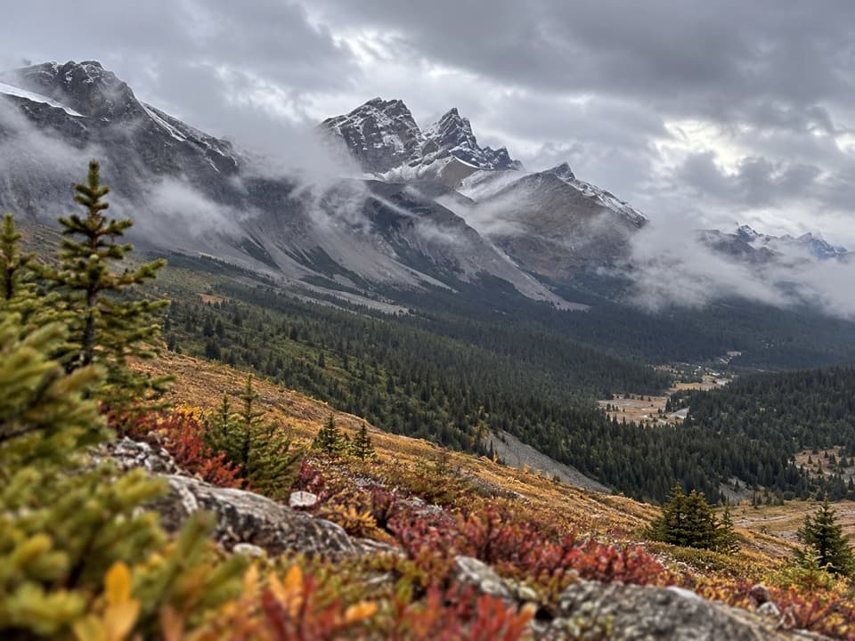 ChallengingBrazeau Loop81 km · 1.4 days · 3.2 km awayA five-day backpacking loop over three high passes and lake valleys.
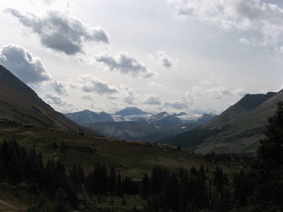 ModerateNigel Pass Trail14.6 km · 5 hr · 3.2 km awayA gentle creek approach gives way to a steep final kilometre.
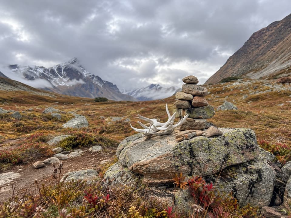 ChallengingJonas Pass–Poboktan Creek Trail54 km · 3.5 days · 3.2 km awayTwo alpine passes and waterfalls on a serious wilderness traverse
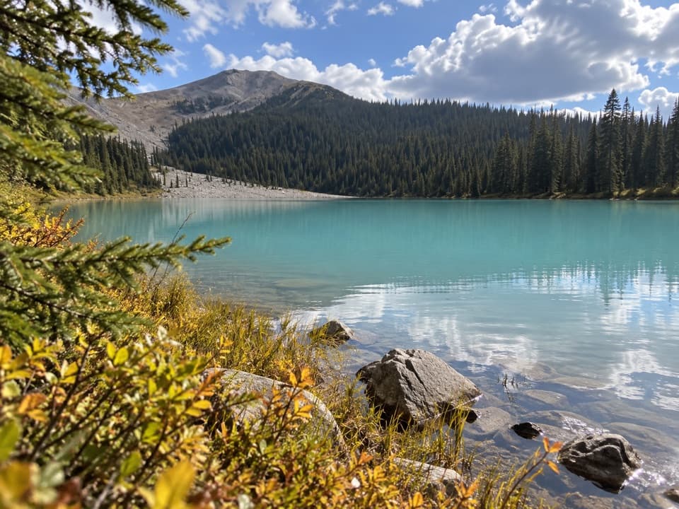 EasyBoundary Lake Trail2 km · 1 hr · 3.9 km awayA quick detour to Boundary Lake's bright turquoise water.
 ChallengingWilcox Pass Trail6.8 km · 2.5 hr · 5.6 km awayA steep forest climb opens into glacier-viewing alpine meadows.
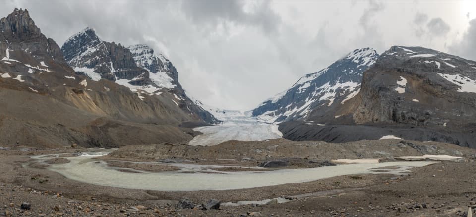 ModerateToe of the Athabasca Glacier Trail1.8 km · 1 hr · 8.3 km awayA rocky climb to a limestone bench with a close glacier view.
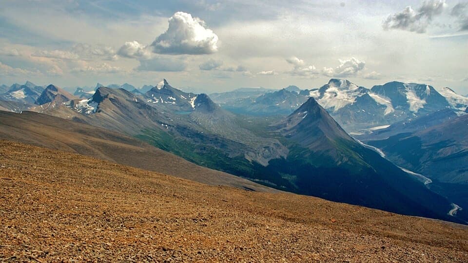 ChallengingTangle Ridge Trail10.8 km · 7 hr · 14.3 km awayA steep ridge climb earns a big view over peaks and glaciers.
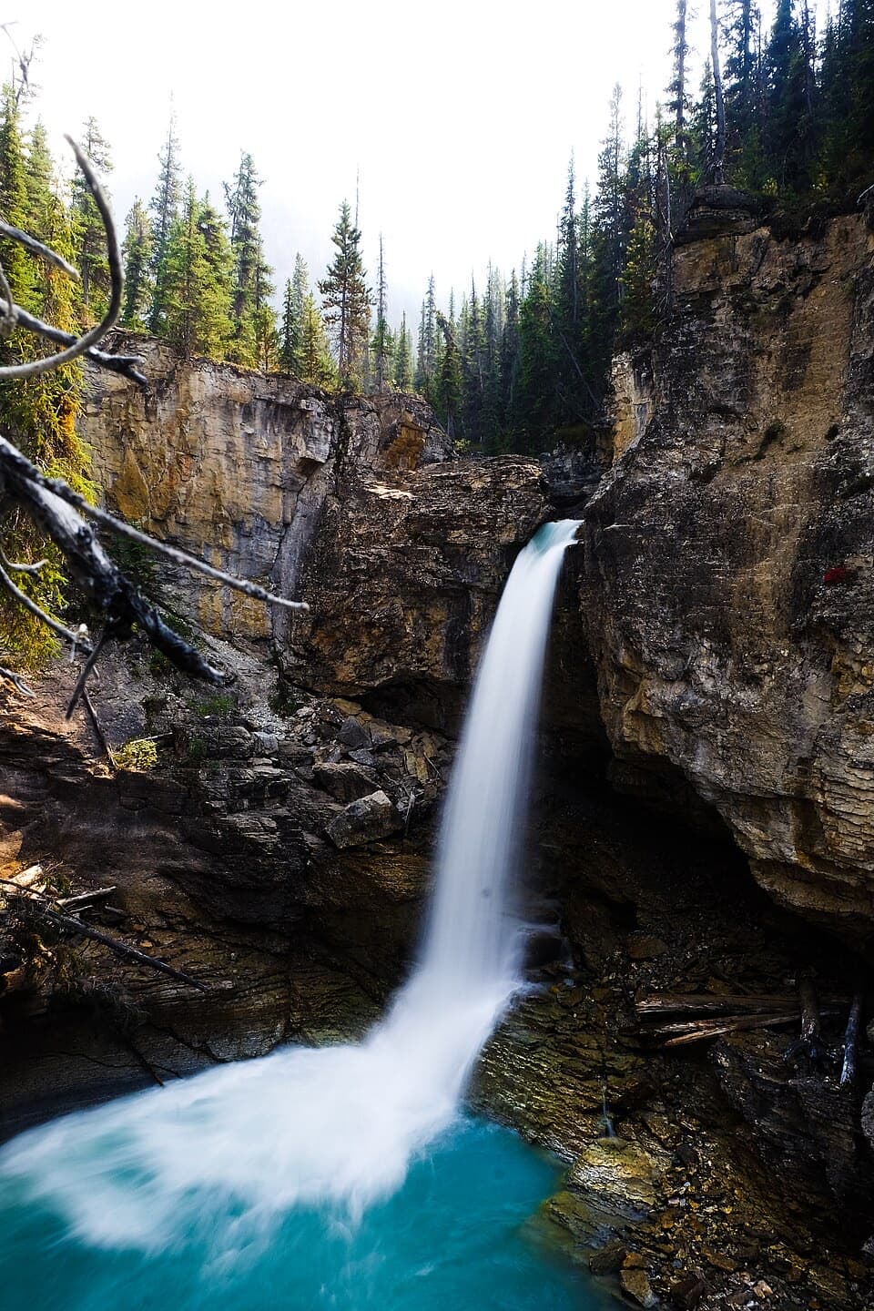 ModerateBeauty Creek to Stanley Falls Trail3.2 km · 1.3 hr · 21 km awayA short climb to a string of falls in a tight canyon
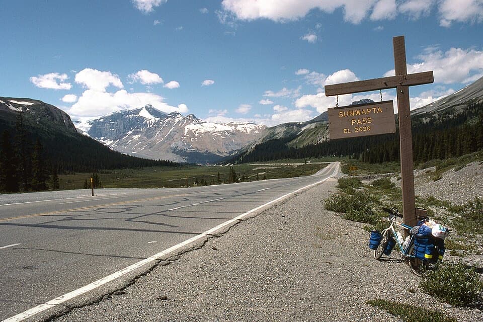 Scenic pullout · 3.8 km awaySunwapta Pass ViewpointA high pass where two parklands and watersheds meet.
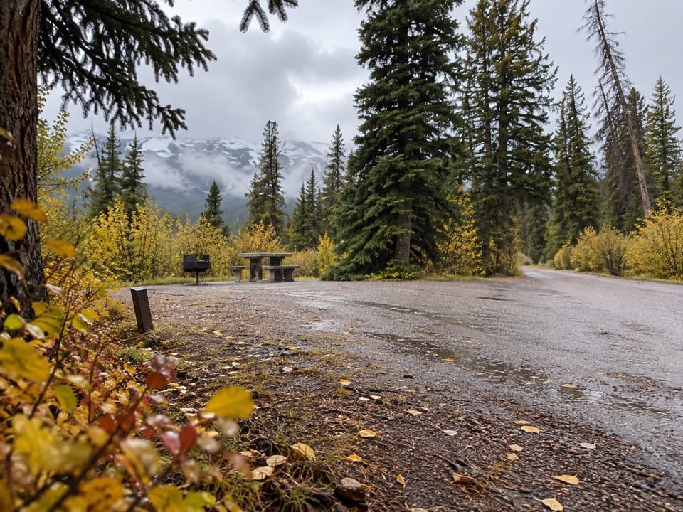 Campground · 5.1 km awayWilcox CampgroundA simple Parkway camp near Wilcox Pass and the Columbia Icefield.
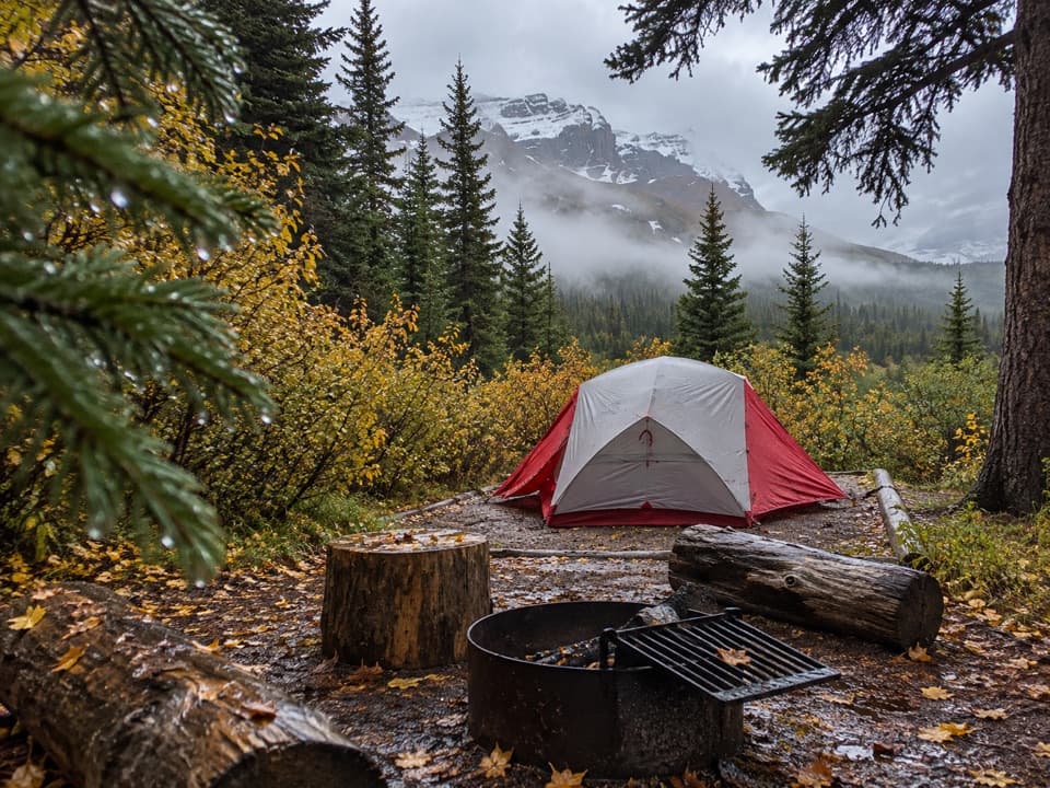 Campground · 6.8 km awayIcefield CampgroundWalk-in tent camping with glacier views from most sites.
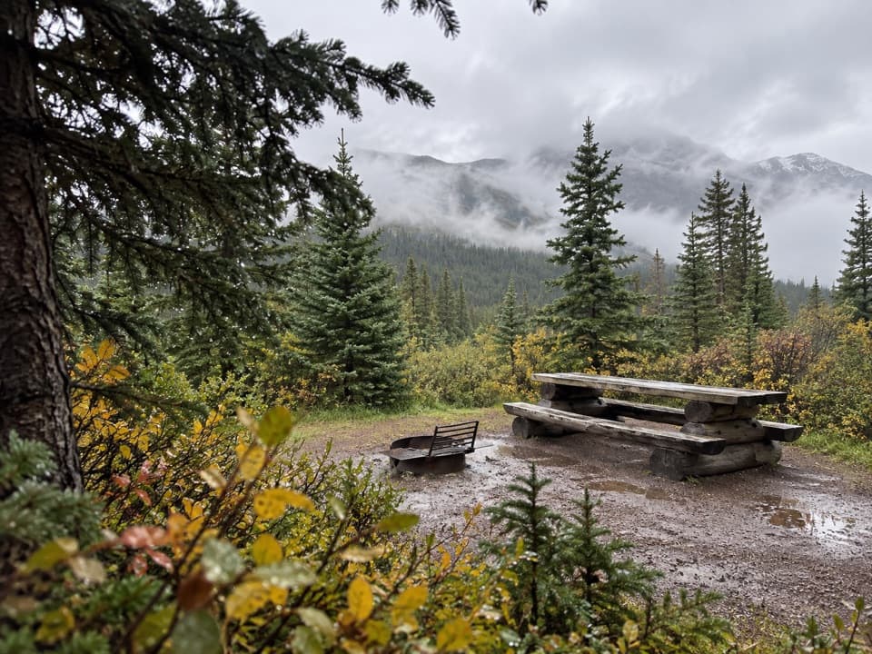 Campground · 7.8 km awayBoulder Creek Backcountry CampgroundA four-site overnight on the demanding Brazeau Loop.
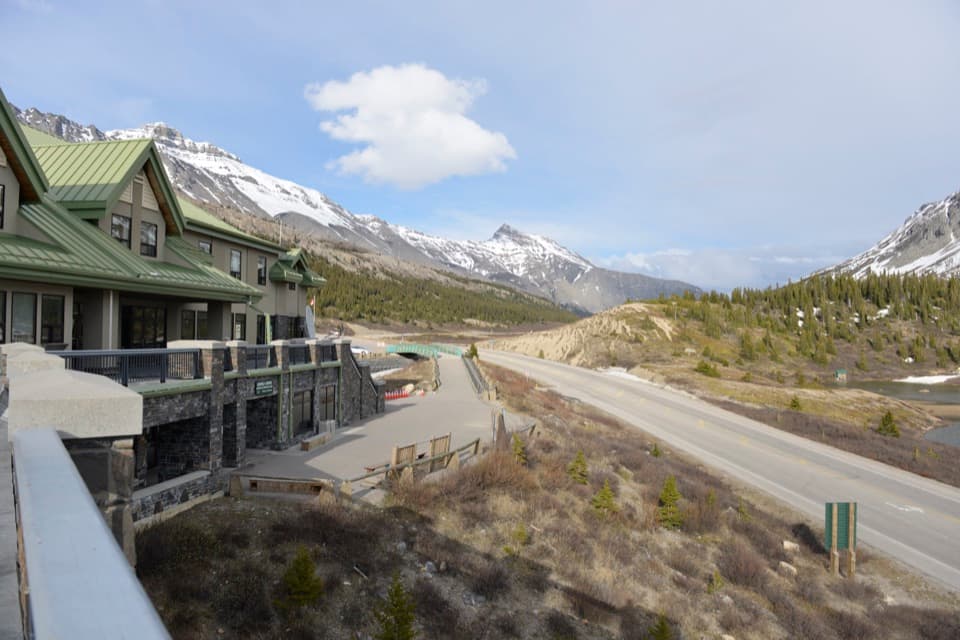 Visitor center · 8 km awayColumbia Icefield Discovery and Information CentreGlacier views, an icefield gallery, and a useful Parkway break.Lodging · 8 km awayGlacier View LodgeA seasonal stay pairs glacier views with select guided outings.
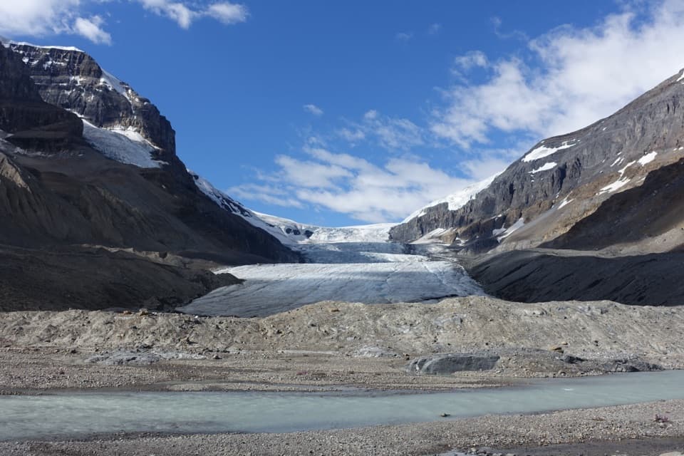 Sight · 8.3 km awayAthabasca GlacierA short walk to glacial grooves and the front of the ice.
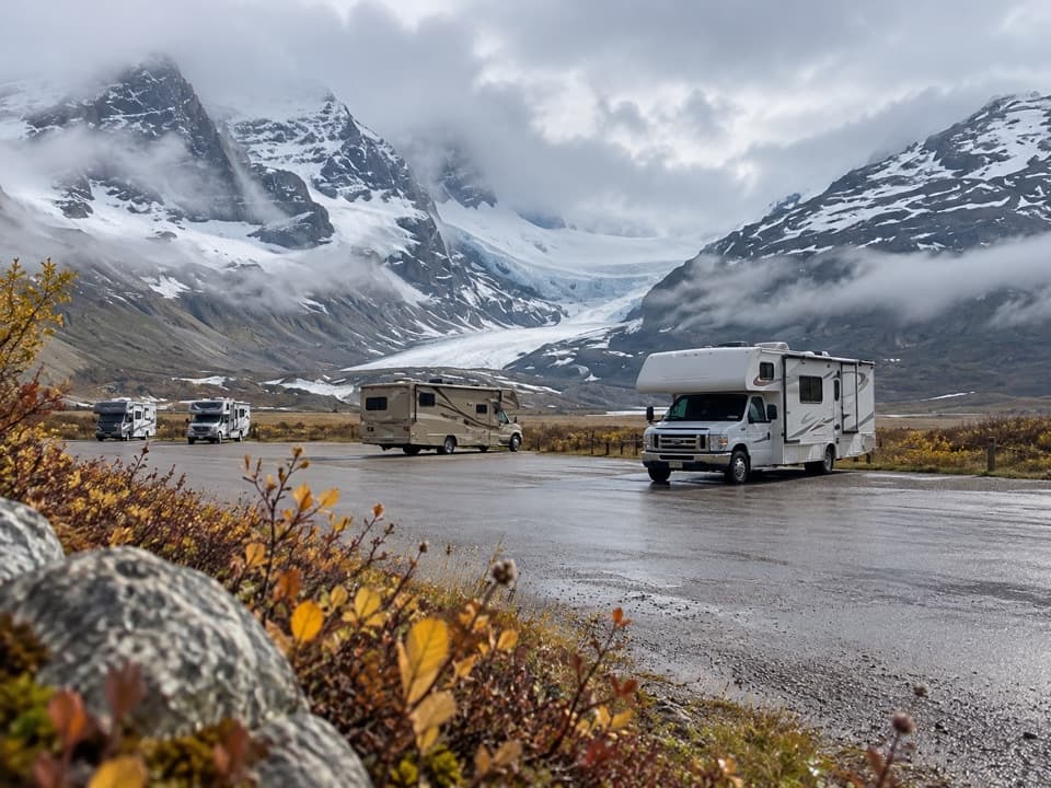 Campground · 8.3 km awayIcefield Centre RV CampgroundA no-frills RV stop with Athabasca Glacier in view.
Parkwolf’s Jasper ranking
The audio tour guide for the drive, plus offline maps, trails, and wildlife heatmaps for when the signal drops.




