Parking
Park at the unmarked boundary pullout about 4.5 km south of the Icefields Discovery Centre on the Icefields Parkway. Start from the west side of the pullout; there are no toilets or other facilities. A valid national-park pass is required.
Jasper National Park, AB
Short, quiet out-and-back to a turquoise glacial lake at the Banff–Jasper boundary
Overview
Boundary Lake is a quiet, turquoise glacial lake at the Banff–Jasper National Park boundary, with a high scenery-to-effort ratio and views toward Mount Athabasca and the Boundary Glacier. It is a useful short stop on the Icefields Parkway for visitors who want solitude away from the busiest viewpoints.
 Parkwolf’s verdictWhy go
Map & elevation
Plan your hike

The highest, rockiest slopes around here are a summer buffet for grizzly bears.
Jasper Tour Guide
Parkwolf is a GPS audio tour guide for Jasper National Park. As you drive, it chimes in with what’s ahead: hidden gems, upcoming stops, history, geology, and wildlife, right through your car’s speakers.
See the Jasper audio tourRecorded for this area
Sunwapta Pass: The Border Between Parks“You're reaching Sunwapta Pass, one of the highest points on the entire Parkway. This spot marks the official boundary between Jasper and Banff National Parks.”
Plays near this trailhead in the Parkwolf Jasper Tour Guide.
More stories near here in the app
“Fantastic app with many points of information… It’s great to just turn on while you’re driving and it gives you an audio tour of the national Park. We love it!!!!”


Trail guide
This easy out-and-back is about 1.8 miles (2.9 km) total, with roughly 130 m of cumulative climbing on the sampled route, and usually takes about 1–1.5 hours including route-finding and time at the lake. From the unmarked boundary pullout, the rough path crosses a meadow and dried marsh, joins a short section of old gravel road, then climbs through scrub and trees to Boundary Lake. The visitor route reaches the lake’s north shore before returning along the same physical corridor; the stored line represents that corridor once, as appropriate for an out-and-back.
Expect a small, strikingly blue glacial lake below Mount Athabasca, with Boundary Glacier and Columbia Icefield mountain scenery. The approach passes meadow, marsh, scrub, and forest. The shoreline can be a pleasant place to pause, but this is an informal route rather than a signed, developed trail.
The trailhead is an unmarked pullout at the Banff–Jasper boundary, about 4.5 km south of the Icefields Discovery Centre on the Icefields Parkway. Start from the west side of the pullout and look for the rough path across the meadow. After the marsh, follow the old gravel road for roughly 50–100 m, then look for the cairn and path climbing toward the lake. If you reach a creek, backtrack to the cairn. There are no trail signs, toilets, or other facilities at the pullout.
This is an informal, easy route with muddy or marshy sections, faint junctions, and no facilities. Carry water, wear footwear suited to wet ground, and be prepared for fast-changing mountain weather. You are in active bear country: carry bear spray, make noise, and know bear-safety practices. Stay on durable surfaces, respect the Banff–Jasper boundary area, and do not enter the frigid lake or disturb wildlife. A valid national-park pass is required to travel and stop in the national parks.
Wildlife
 174 sightingsGrizzly BearMost seen around 8 PMSighting map
 43 sightingsCaribouMost seen around 7 AMSighting map
 40 sightingsGray WolfMost seen around 6 AMSighting map
 12 sightingsCanada LynxMost seen around 8 PMSighting map
 315 sightingsMooseMost seen around 6 AMSighting map
 1,028 sightingsElkMost seen around 7 AMSighting map
Sighting maps show where each species has been reported across Jasper. Wildlife moves, so no sighting is guaranteed.
Keep exploring
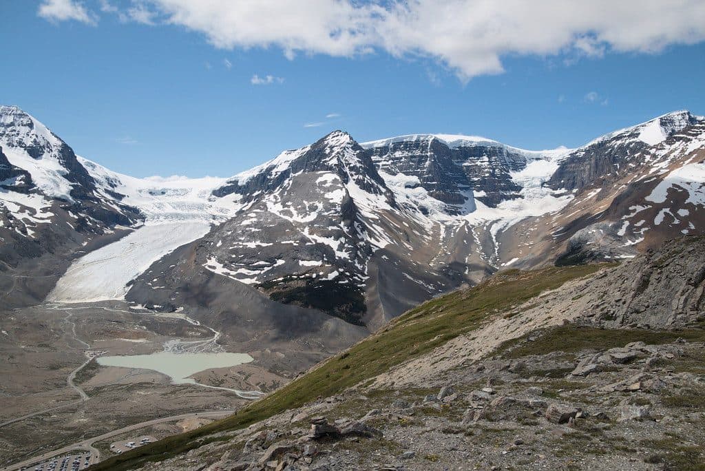 ModerateWilcox Pass Trail9.3 km · 4 hr · 1.8 km awayBig glacier views for moderate effort above the Icefields Parkway.
 ModerateWilcox Ridge Trail9.3 km · 4 hr · 1.8 km awayModerate out-and-back to Wilcox Ridge with Athabasca Glacier and Columbia Icefield views.
 ModerateWilcox Pass8 km · 3 hr · 1.8 km awayGlacier views and open alpine meadows on a moderate out-and-back to Wilcox Pass
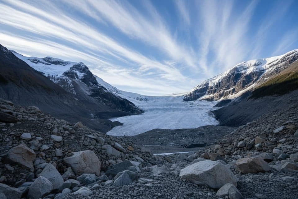 ModerateAthabasca Glacier Forefield Trail3.5 km · 1.5 hr · 4.4 km awayA flat, rocky walk across the Athabasca Glacier’s forefield to the Toe of the Glacier connection.
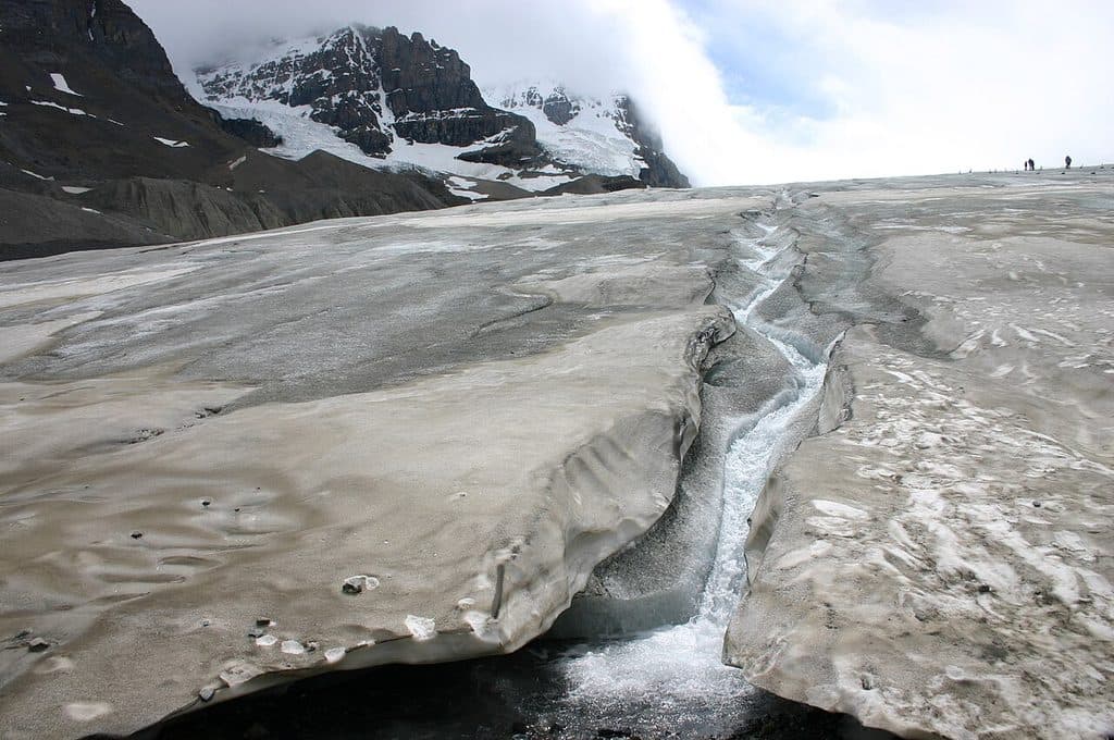 EasyToe of the Athabasca Glacier1.9 km · 1 hr · 5 km awayQuick, windswept walk to a roped viewpoint at a famous glacier toe.
 ChallengingBrazeau Lake Trail81 km · 2 days · 6.9 km away81 km lollipop loop from Nigel Creek over Nigel Pass, Brazeau Lake and three alpine passes
 ChallengingBrazeau Loop81 km · 1.3 days · 6.9 km awayRemote alpine circuit: big passes, turquoise lake, real commitment
 ChallengingJonas Pass Trail53.9 km · 1 day · 6.9 km awayA demanding 54 km alpine traverse from Nigel Creek over Jonas Pass to Poboktan Creek
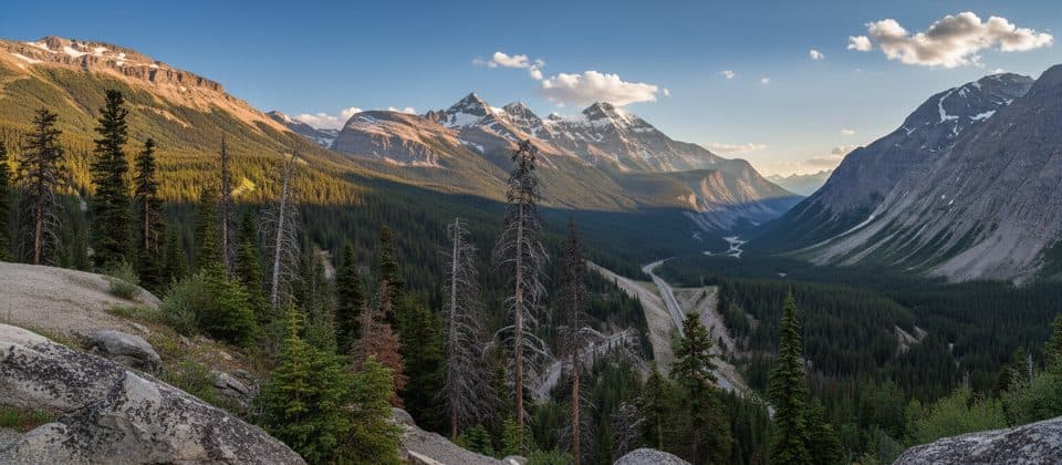 Scenic pullout · At the trailheadSunwapta PassHigh-alpine pass with big views and a clear park boundary moment
 Campground · 1.2 km awayWilcox Creek CampgroundAlpine FCFS campground with big glacier views near Wilcox Pass
 Campground · 3.1 km awayIcefield CampgroundTent-only glacier-view camping steps from Athabasca Glacier
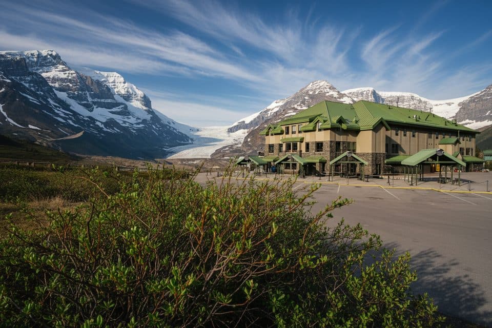 Lodging · 4.4 km awayGlacier View LodgeThe only stay facing Athabasca Glacier, with knockout views
 Sight · 4.5 km awayGlacier GalleryInteractive glacier exhibit at the Columbia Icefield hub
 Visitor center · 4.5 km awayColumbia Icefield Discovery CentreGlacier hub with big views and tours to ice and skywalk
 Sight · 4.5 km awayMount AthabascaClassic Icefield peak for big views and real glacier climbing
 Sight · 5.1 km awaySunwapta LakeQuiet glacial lake at the headwaters of the Sunwapta River
Parkwolf’s Jasper ranking
The audio tour guide for the drive, plus offline maps, trails, and wildlife heatmaps for when the signal drops.





