Parking
Small roadside pullout on the east side of Highway 93 (Icefields Parkway), about 15.5 km north of the Columbia Icefield Discovery Centre and roughly 3 km south of Beauty Creek Hostel; parking is limited.
Jasper National Park, AB
Short out-and-back through Beauty Creek’s waterfalls to Stanley Falls
Overview
Beauty Creek to Stanley Falls is a short out-and-back from the roadside pullout on the east side of the Icefields Parkway. The route first follows an old road grade, then climbs beside Beauty Creek through a narrow, waterfall-filled canyon to Stanley Falls. The mapped corridor is about 1.0 mile one way; plan on about 2.1 miles round trip and roughly 400 feet of climbing. Most hikers can complete it in about 1 to 1.5 hours, depending on stops and footing.
The first section is relatively level, but the canyon section is rocky, rooty, and steeper. The path is not equipped like Maligne Canyon: there are no guardrails at exposed edges, and short social spurs lead toward the gorge. Stay on the safest line, keep children close, and use care when the ground is wet. The creek has a strong current; look but do not enter the water.
The trailhead is a small pullout on the east side of Highway 93 (Icefields Parkway), roughly 15.5 km north of the Columbia Icefield Discovery Centre and about 3 km south of Beauty Creek Hostel. Parking is limited, and there are no toilets or reliable cell service at the trail. Download maps before driving the parkway and carry normal mountain-hiking essentials.
Map & elevation
Plan your hike

The highest, rockiest slopes around here are a summer buffet for grizzly bears.
Jasper Tour Guide
Parkwolf is a GPS audio tour guide for Jasper National Park. As you drive, it chimes in with what’s ahead: hidden gems, upcoming stops, history, geology, and wildlife, right through your car’s speakers.
See the Jasper audio tourRecorded for this area
The American Dipper: Underwater Songbird“Along fast-moving streams like Beauty Creek or the Sunwapta River, look for a small, slate-gray bird constantly bobbing up and down on a rock. That’s an American Dipper, North America’s only truly aquatic songbird.”
Plays on the road 0.5 km from the trailhead in the Parkwolf Jasper Tour Guide.
More stories near here in the app
“Fantastic app with many points of information… It’s great to just turn on while you’re driving and it gives you an audio tour of the national Park. We love it!!!!”


Wildlife
 174 sightingsGrizzly BearMost seen around 8 PMSighting map
 43 sightingsCaribouMost seen around 7 AMSighting map
 40 sightingsGray WolfMost seen around 6 AMSighting map
 12 sightingsCanada LynxMost seen around 8 PMSighting map
 315 sightingsMooseMost seen around 6 AMSighting map
 1,028 sightingsElkMost seen around 7 AMSighting map
Sighting maps show where each species has been reported across Jasper. Wildlife moves, so no sighting is guaranteed.
Keep exploring
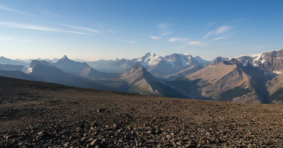 ChallengingTangle Ridge Trail10.7 km · 6 hr · 7.4 km awaySteep, scree-to-summit day with rare Columbia Icefield panoramas
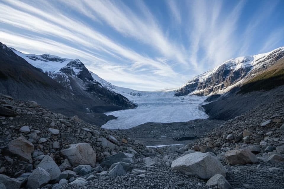 ModerateAthabasca Glacier Forefield Trail3.5 km · 1.5 hr · 14.2 km awayA flat, rocky walk across the Athabasca Glacier’s forefield to the Toe of the Glacier connection.
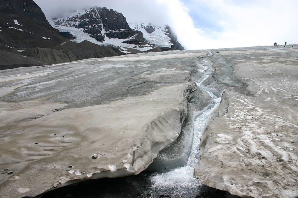 EasyToe of the Athabasca Glacier1.9 km · 1 hr · 14.5 km awayQuick, windswept walk to a roped viewpoint at a famous glacier toe.ChallengingMaligne Pass Trail48 km · 2.5 days · 15.6 km awayRemote alpine meadows on a rugged 48 km backcountry traverse.
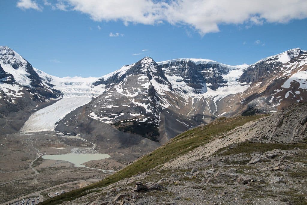 ModerateWilcox Pass Trail9.3 km · 4 hr · 15.7 km awayBig glacier views for moderate effort above the Icefields Parkway.
 ModerateWilcox Ridge Trail9.3 km · 4 hr · 15.7 km awayModerate out-and-back to Wilcox Ridge with Athabasca Glacier and Columbia Icefield views.
 ModerateWilcox Pass8 km · 3 hr · 15.7 km awayGlacier views and open alpine meadows on a moderate out-and-back to Wilcox PassEasyBoundary Lake trail2.9 km · 1.5 hr · 17.2 km awayShort, quiet out-and-back to a turquoise glacial lake at the Banff–Jasper boundary
 Sight · 0.8 km awayStanley fallsEight waterfalls in a quiet canyon, ending at a dramatic drop
 Lodging · 1.9 km awayHI Beauty CreekRustic dark-sky hostel by the Sunwapta River on the Parkway
 Scenic pullout · 6.2 km awayStutfield GlacierRoadside view of the glacier’s dramatic double icefalls
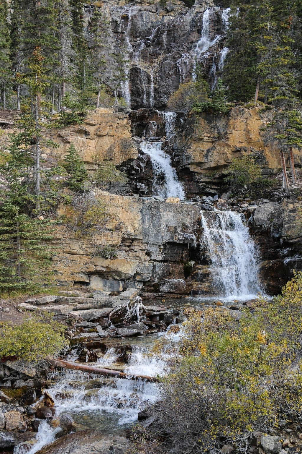 Sight · 7.4 km awayTangle FallsRoadside, multi-tiered waterfall with instant wow factor
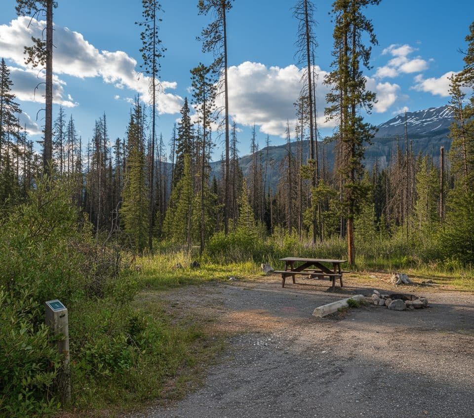 Campground · 10.9 km awayJonas Creek CampgroundTiny, creekside FCFS campground ideal for tents and bike tourers
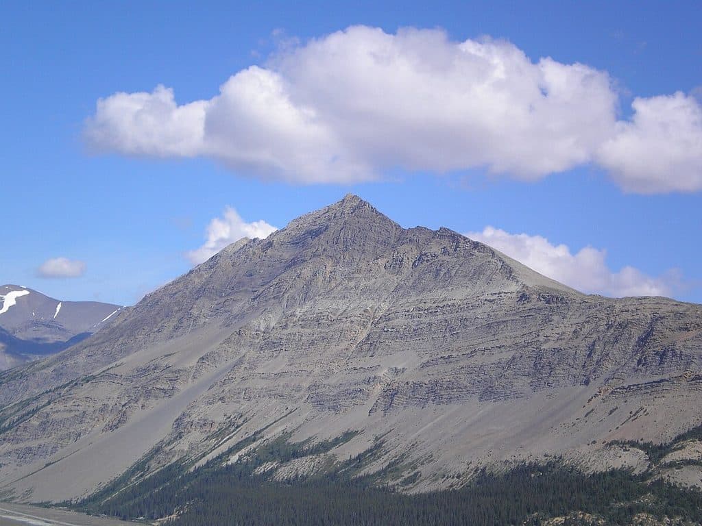 Sight · 11.1 km awayMount WilcoxSummit vantage for sweeping views of Athabasca Glacier and Icefield
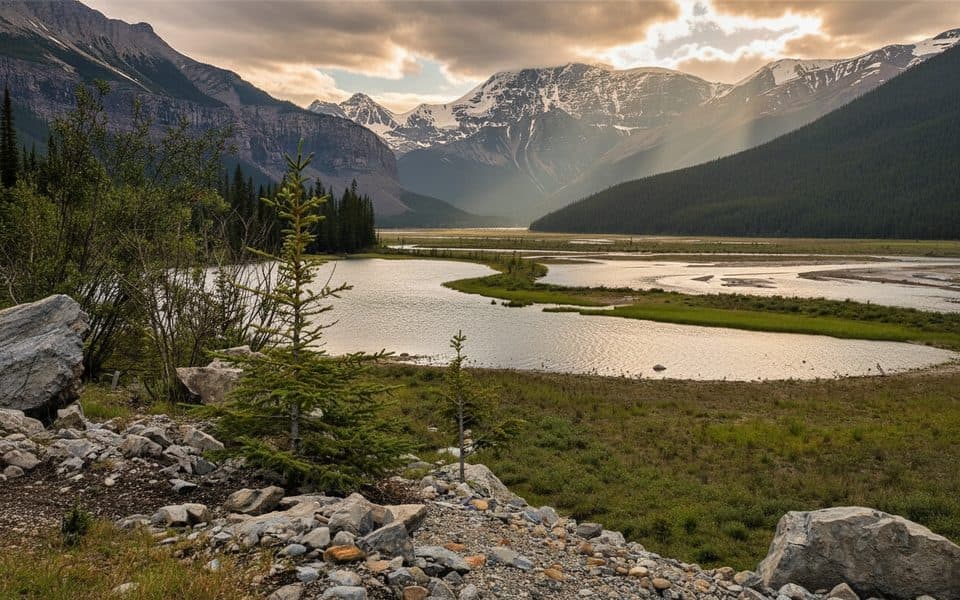 Sight · 12.3 km awayMount KitchenerBig glaciated prize of the Columbia Icefield for seasoned alpinists
 Visitor center · 14 km awayColumbia Icefield Discovery CentreGlacier hub with big views and tours to ice and skywalk
Parkwolf’s Jasper ranking

The audio tour guide for the drive, plus offline maps, trails, and wildlife heatmaps for when the signal drops.





