Parking
Start at the Miette Hot Springs parking lot. Miette Road is seasonal and usually closes in mid-October; check access dates before the drive.
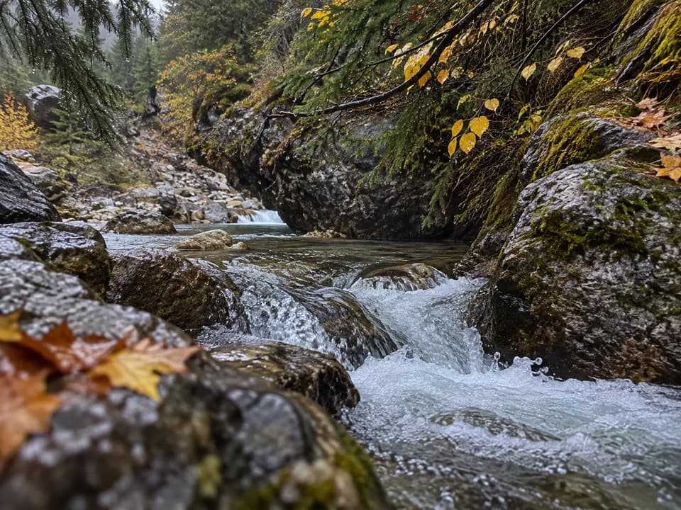
Jasper National Park, AB
Walk past the ruins to where 54°C spring water comes out.
Overview
Map & elevation
Plan your hike

The highest, rockiest slopes around here are a summer buffet for grizzly bears.
Jasper Tour Guide
Parkwolf is a GPS audio tour guide for Jasper National Park. As you drive, it chimes in with what’s ahead: hidden gems, upcoming stops, history, geology, and wildlife, right through your car’s speakers.
See the Jasper audio tourRecorded for this trailhead
Miette Hot Springs: Pools and the Old Bathhouse“You're nearing Miette Hot Springs, where developed outdoor pools sit among the mountain slopes. Come for a warm soak, with cooler plunge pools when you want a change.”
Plays as you drive up to this trailhead in the Parkwolf Jasper Tour Guide.
More stories near here in the app
“Fantastic app with many points of information… It’s great to just turn on while you’re driving and it gives you an audio tour of the national Park. We love it!!!!”


Trail guide
Source of the Springs is a moderate out-and-back from the Miette Hot Springs parking lot: 1.2 km (0.75 mile) return, about 30 minutes, with 75 m of elevation gain and descent. The trail starts through the remains of the old pool building, then follows the creek uphill to the natural spring. If you’re already at Miette, I’d make time for this short look at where the water begins.
The ruins are part of the walk, not a separate stop. From there the path keeps climbing beside the creek to the source, then you return the same way. Parks Canada calls the trail moderate; the short distance still includes a 75 m climb.
At the source, water comes out of the mountain at 54°C (129°F). The facility cools it to 40°C (104°F) for the bathing pools, so this is a look at the spring itself, not a place to soak. Stay out of the hot outlet.
Wildlife
 175 sightingsGrizzly BearMost seen around 8 PMSighting map
 43 sightingsCaribouMost seen around 7 AMSighting map
 41 sightingsGray WolfMost seen around 6 AMSighting map
 12 sightingsCanada LynxMost seen around 8 PMSighting map
 320 sightingsMooseMost seen around 6 AMSighting map
 1,048 sightingsElkMost seen around 7 AMSighting map
Sighting maps show where each species has been reported across Jasper. Wildlife moves, so no sighting is guaranteed.
Keep exploring
 ChallengingSulphur Skyline Trail8.8 km · 5 hr · 0.2 km awayA hard alpine climb to a wide-open summit panorama.
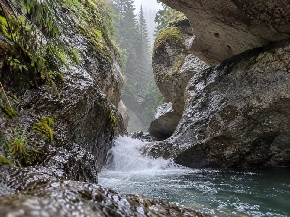 EasyPunchbowl Falls Trail0.2 km · 18 min · 12.6 km awayA quick bridge walk to a narrow canyon waterfall.
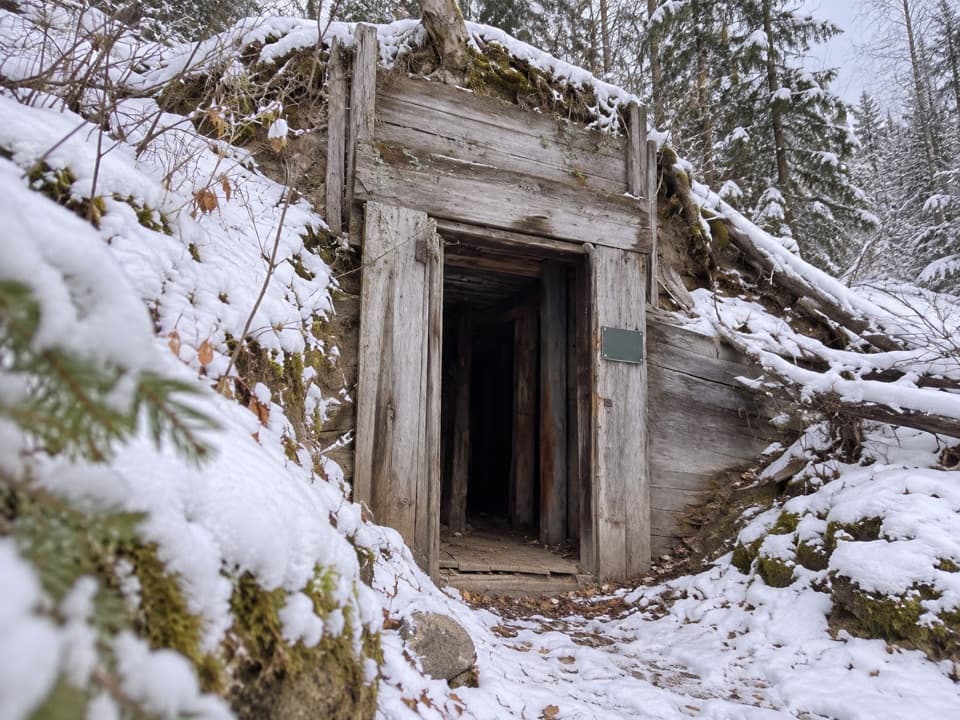 ModerateMine Trail: Upper Loop1.7 km · 45 min · 13.1 km awayA short loop past old mine remains, with a steep upper climb.
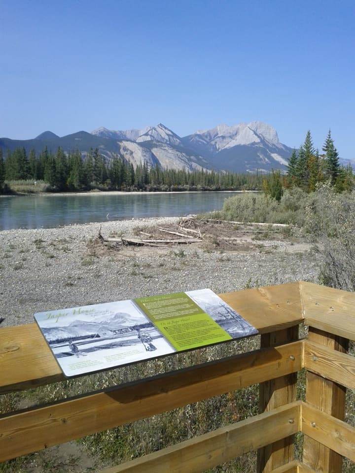 EasyJasper House Viewpoint Trail0.7 km · 20 min · 13.7 km awayA short walk to a view across the river toward Jasper House.
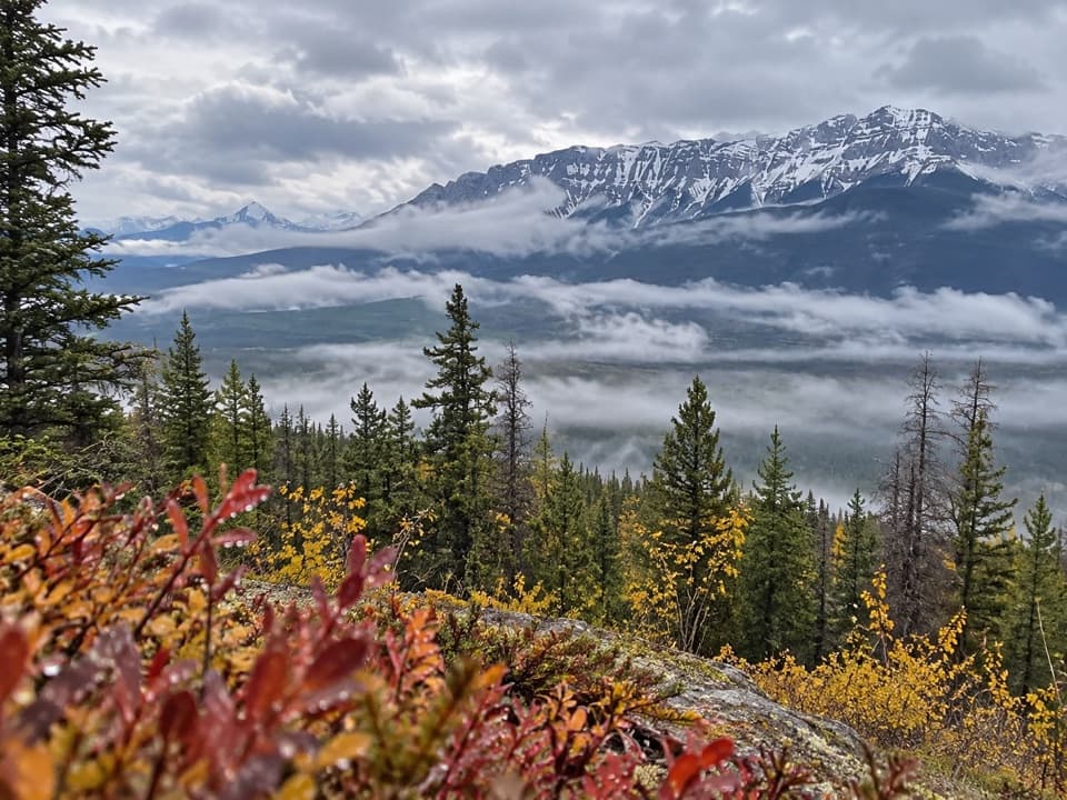 ModerateDevona Lookout Trail17.7 km · 6 hr · 17.8 km awayAn old lookout ridge above the Athabasca, earned the long way.
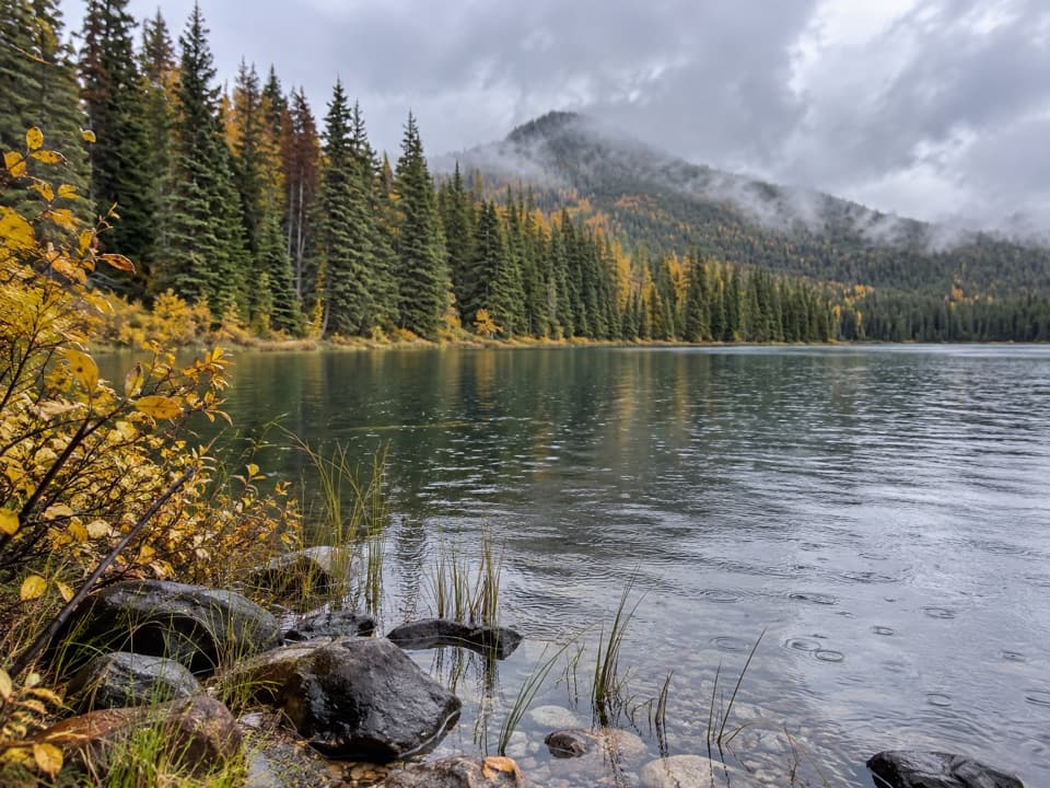 ModerateCelestine Lake Trail13.7 km · 4.5 hr · 17.9 km awayA long walk to a forest-fringed lake on Jasper's North Boundary.
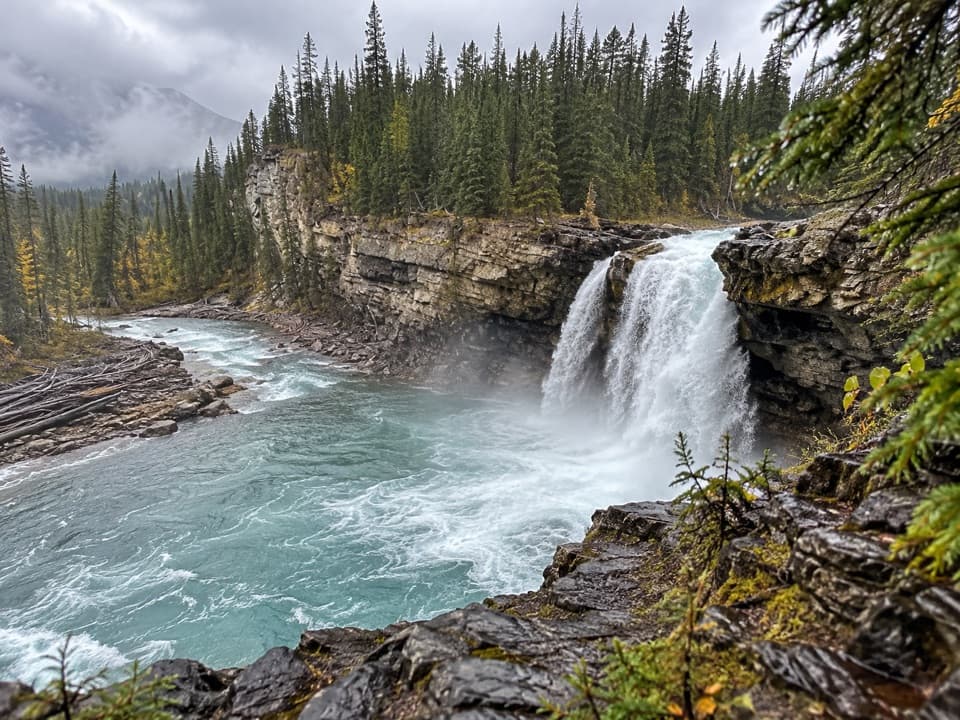 ChallengingSnake Indian Falls Trail53.4 km · 20 hr · 17.9 km awayA 27 km one-way approach to a thundering backcountry waterfall.
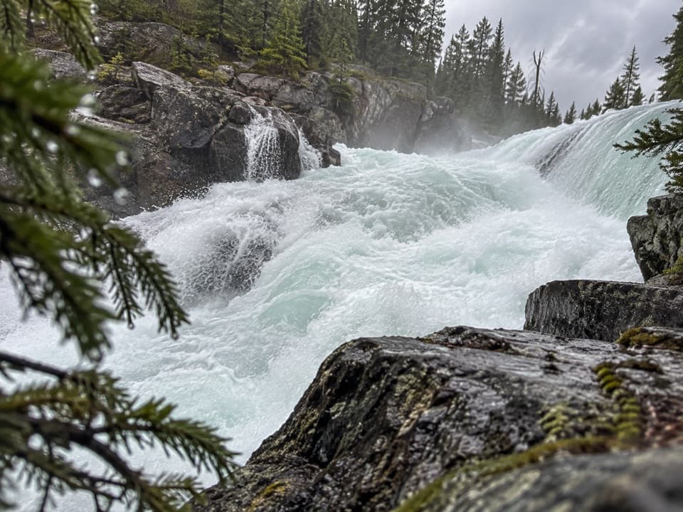 ChallengingCelestine Lake to Rock Lake Trail52.8 km · 3.5 days · 17.9 km awayA 52.8 km backcountry traverse past Snake Indian Falls.
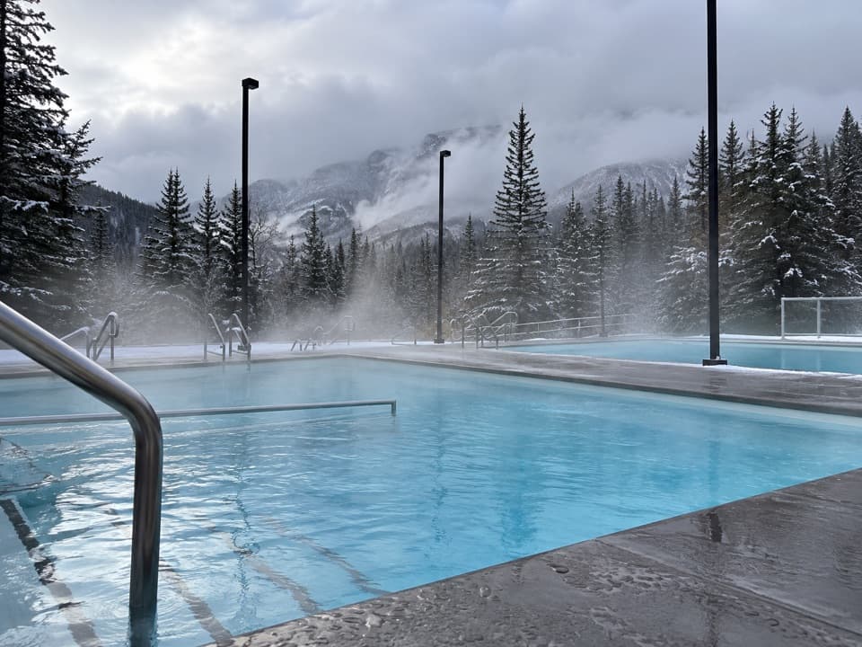 Sight · 0.2 km awayMiette Hot SpringsSoak in mountain spring water, then find its steaming source.
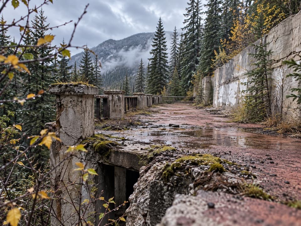 Sight · 0.4 km awayOld Miette Hot SpringsPass the old bathhouse ruins on the way to the spring source.
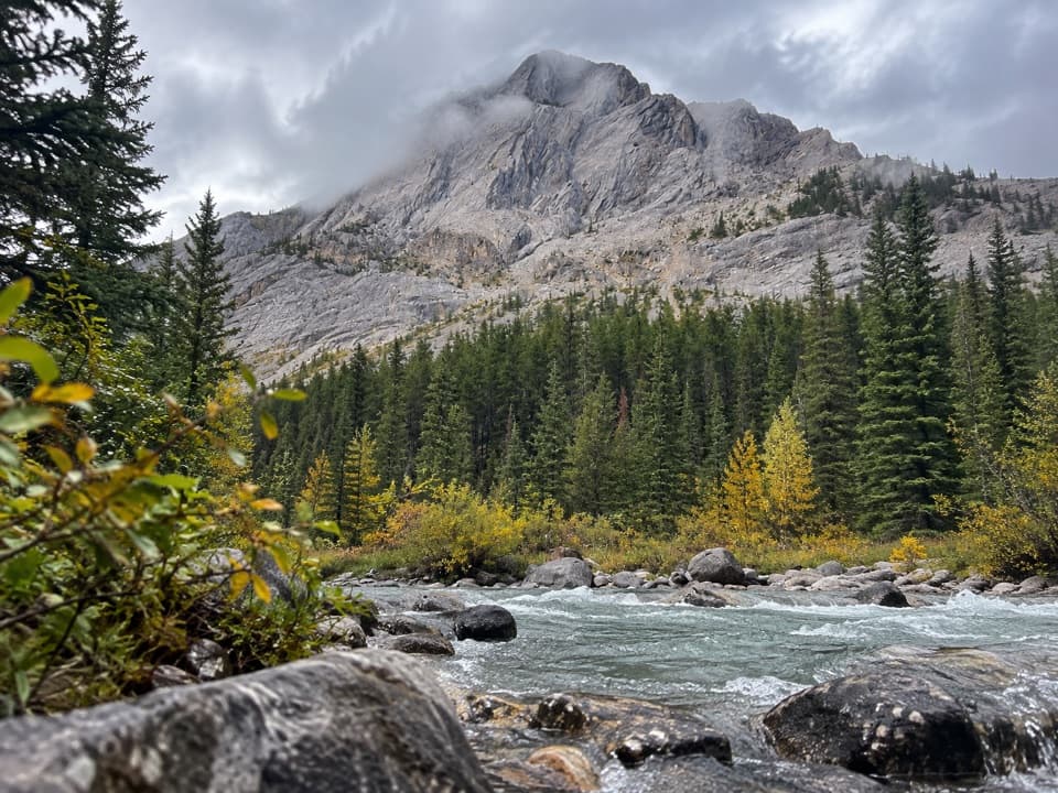 Campground · 4.9 km awayUtopia Backcountry CampgroundA four-site creekside camp on Jasper's remote Fiddle River route.
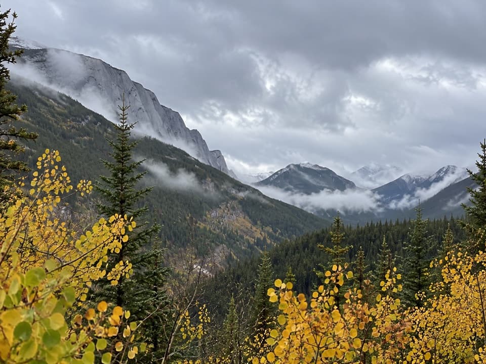 Scenic pullout · 7 km awayAshlar Ridge ViewpointPause halfway up Miette Road for a breather before the hot springs.
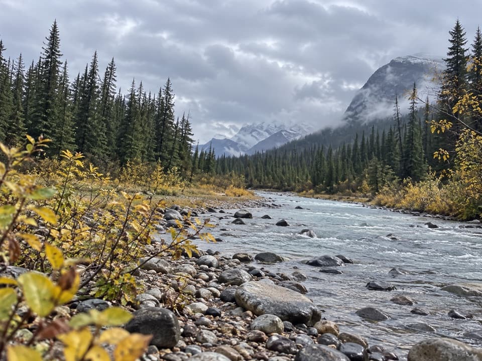 Campground · 10.9 km awaySlide Creek Backcountry CampgroundFour sites and mountain glimpses on the Fiddle River Trail.
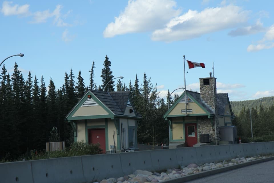 Entrance station · 11.1 km awayJasper National Park East GateA practical pass stop on the eastern Highway 16 approach.
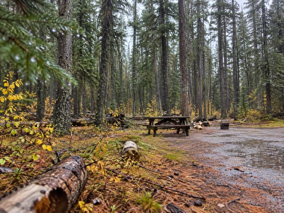 Campground · 11.8 km awayMiette CampgroundCamp in the trees near Miette Hot Springs
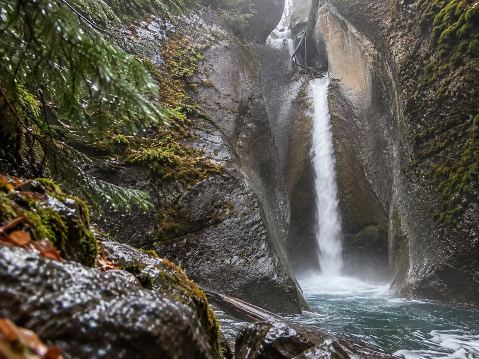 Sight · 12.6 km awayPunchbowl FallsA brief paved walk to a punchbowl hollow and rocky waterfall.
Parkwolf’s Jasper ranking

The audio tour guide for the drive, plus offline maps, trails, and wildlife heatmaps for when the signal drops.




