Parking
Follow Pyramid Lake Road about 5.6 km from Jasper to the parking area at its far end; start at the gate.
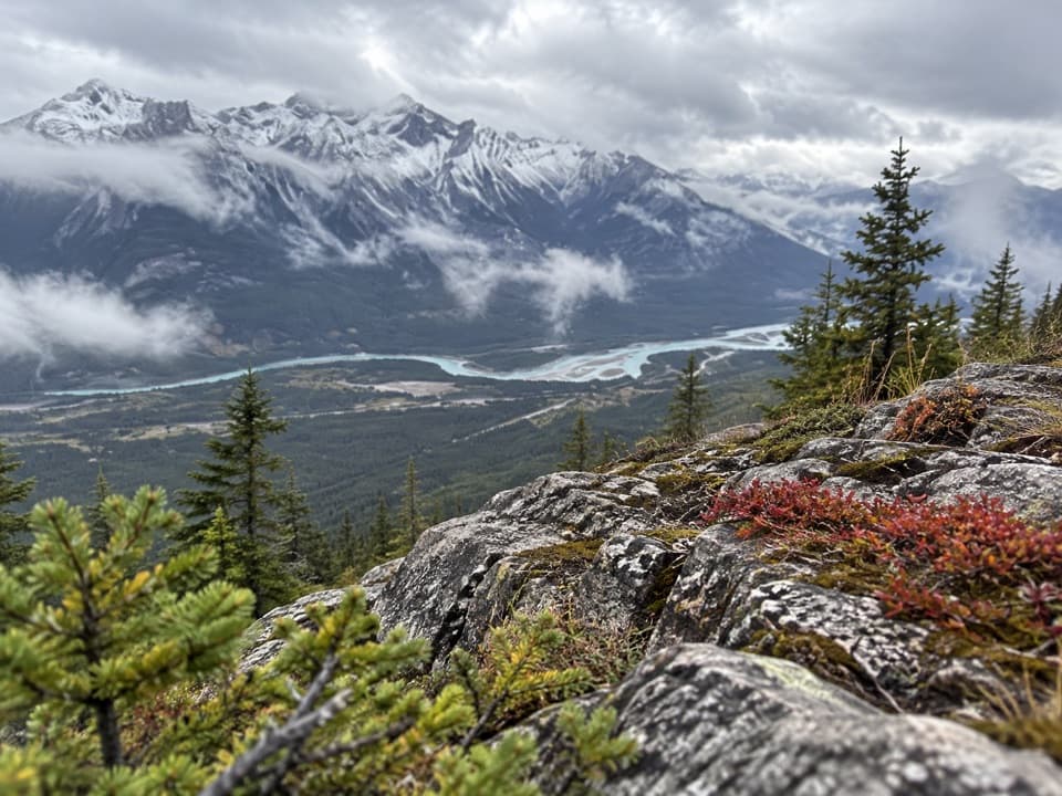
Jasper National Park, AB
A long climb to a former fire lookout above the Athabasca Valley
Overview
Map & elevation
Plan your hike

The highest, rockiest slopes around here are a summer buffet for grizzly bears.
Jasper Tour Guide
Parkwolf is a GPS audio tour guide for Jasper National Park. As you drive, it chimes in with what’s ahead: hidden gems, upcoming stops, history, geology, and wildlife, right through your car’s speakers.
See the Jasper audio tourRecorded for this trailhead
Pyramid Island: A Short Walk onto the Lake“You're nearing Pyramid Island, where a wooden footbridge takes you out onto Pyramid Lake.”
Plays as you drive up to this trailhead in the Parkwolf Jasper Tour Guide.
More stories near here in the app
“Fantastic app with many points of information… It’s great to just turn on while you’re driving and it gives you an audio tour of the national Park. We love it!!!!”


Trail guide
Palisades Lookout Trail (Parks Canada trail 16a) is a 19.3 km out-and-back, about 9.6 km each way from the far gate on Pyramid Lake Road to the old lookout. Allow around eight hours. The route spends a long time on an access road before the climb steepens onto an older, rougher track; the route profile rises about 840 m. This is a full mountain day for a wide view over the Athabasca Valley, not a quick overlook stop.
From the gate, follow the access road along Pyramid Lake’s southeast shore. When Trail 2 branches right, stay on the main road and continue north. The climb gets stiffer beyond Swift Creek; a small opening just past its bridge looks toward the Colin Range. Near the ridge joining Palisade and Pyramid Mountain, take the rougher old road angling right. The final approach to the lookout is very steep. Note that junction for the long return.
The endpoint is a rocky opening with a broad view over the braided Athabasca River and the mountains beyond. The Palisade fire lookout was built in 1945, and Jasper’s fire towers were decommissioned by 1978. The sources confirm the lookout’s history but not what structures remain at the site, so plan on a viewpoint rather than a preserved tower. For a photo, keep the river in the frame and use the rocky foreground to show the drop into the valley.
Drive about 5.6 km up Pyramid Lake Road from Jasper to the parking area at its far end; start at the gate. The route is shared with bikes and horses, and dogs must stay leashed. Bears are known in the Palisades area. No water refill or toilet was confirmed along the route, so bring what you need for the full day.
Wildlife
 175 sightingsGrizzly BearMost seen around 8 PMSighting map
 43 sightingsCaribouMost seen around 7 AMSighting map
 41 sightingsGray WolfMost seen around 6 AMSighting map
 12 sightingsCanada LynxMost seen around 8 PMSighting map
 320 sightingsMooseMost seen around 6 AMSighting map
 1,048 sightingsElkMost seen around 7 AMSighting map
Sighting maps show where each species has been reported across Jasper. Wildlife moves, so no sighting is guaranteed.
Keep exploring
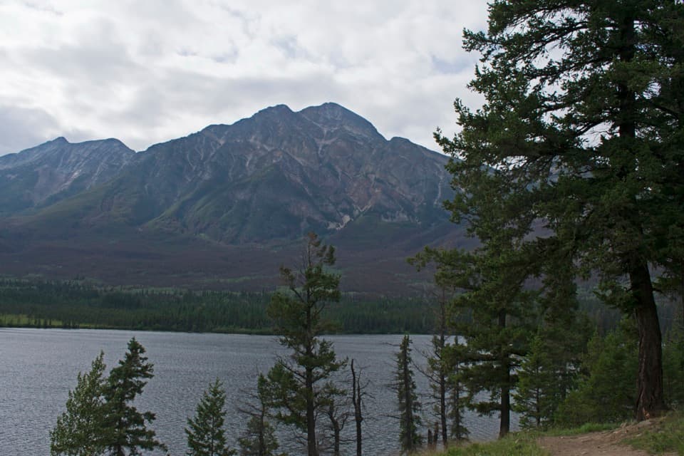 ModerateOverlook Loop5.8 km · 1.5 hr · 0.9 km awayClimb to Pyramid Bench for lake, valley, and red-chair views
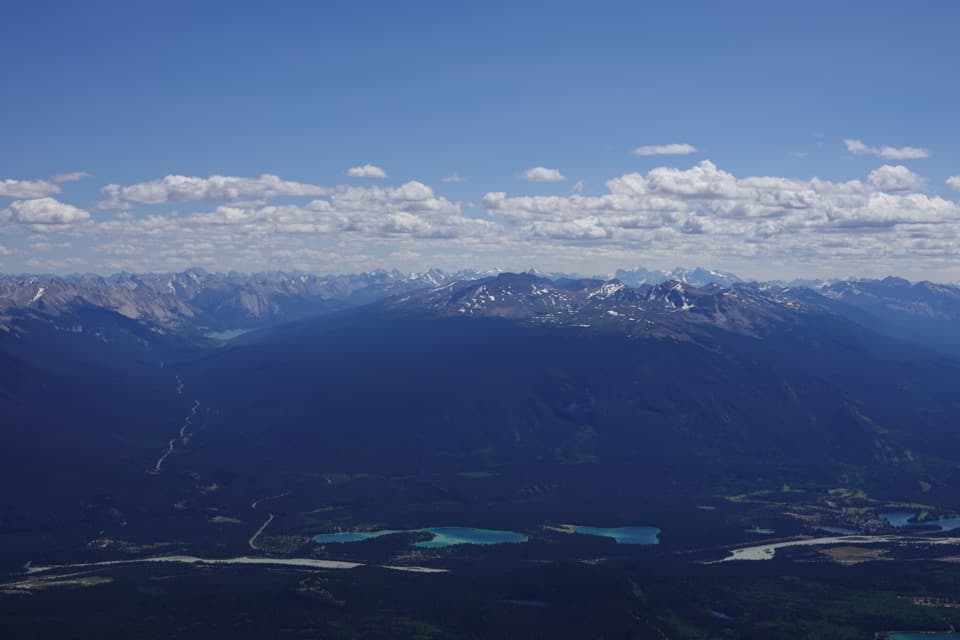 ChallengingPyramid Mountain Trail28.2 km · 12 hr · 0.9 km awayA long fire-road approach ends in a bouldery summit scramble.
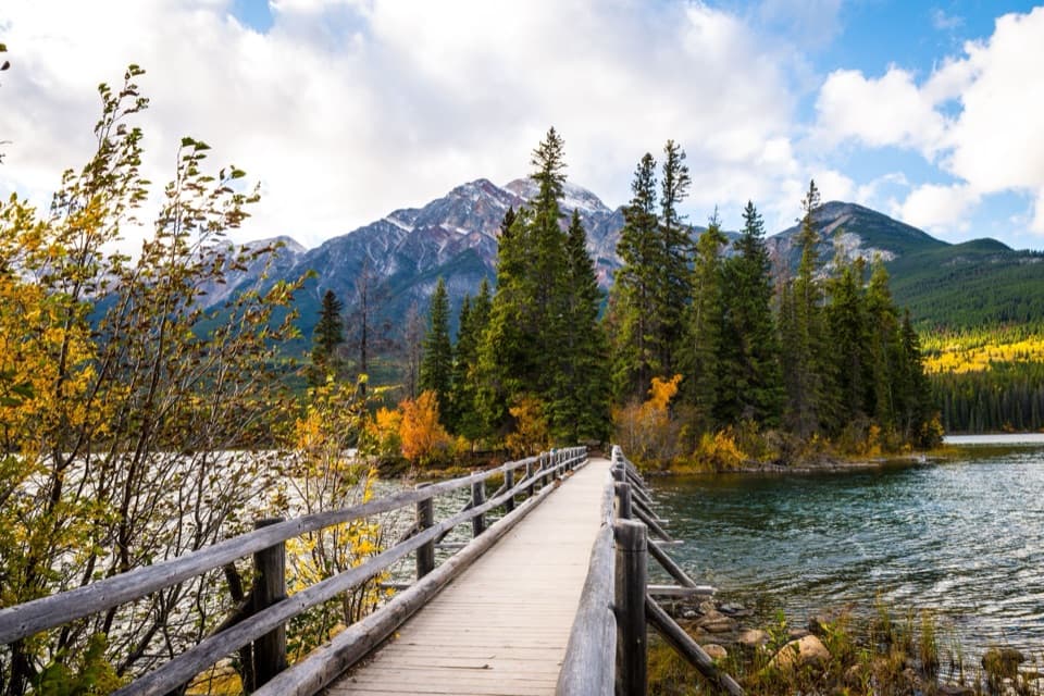 EasyPyramid Island Trail0.7 km · 20 min · 1 km awayCross a wooden bridge for an easy island loop and mountain views.
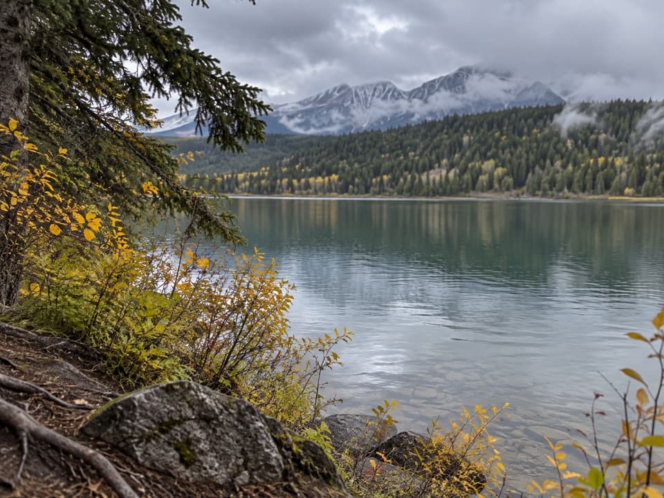 ModeratePatricia Lake Loop4.8 km · 2.5 hr · 2.4 km awayA lake and wetland loop with red chairs facing Whistler.
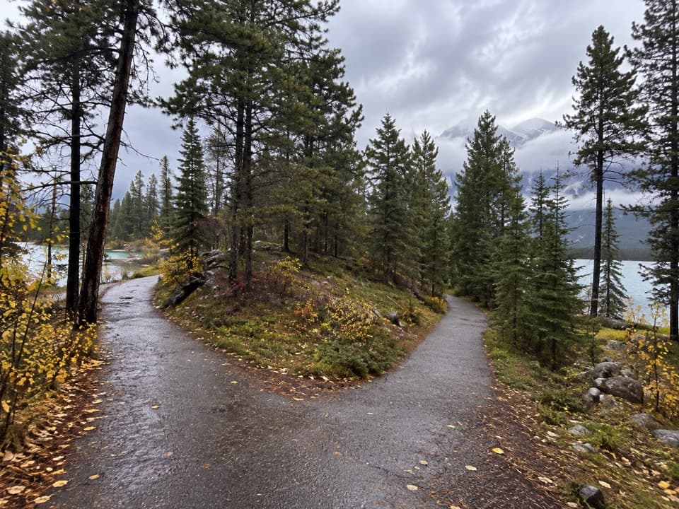 EasyLake Annette Loop2.4 km · 1.2 hr · 2.9 km awayA paved lakeshore circuit with mountain views and wheelchair-height signs.
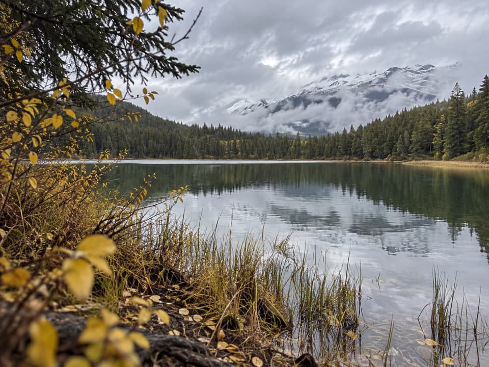 ModerateCabin Lake Trail6.8 km · 2.3 hr · 3.7 km awayA forest fire road ends at a quiet lake near Jasper.
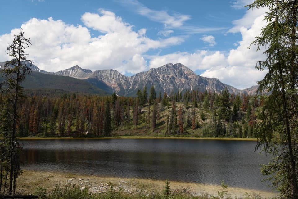 ModerateMina-Riley Lakes Loop9 km · 3.5 hr · 5 km awayA wetland circuit links two Mina Lakes with Riley Lake.
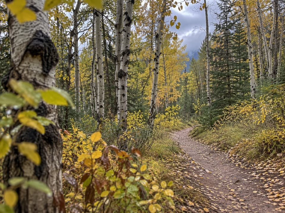 ModeratePyramid Trail11.4 km · 3.5 hr · 5 km awayA broad forested climb links Jasper with the Pyramid Bench lakes.
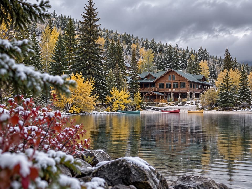 Lodging · 1.1 km awayPyramid Lake LodgeStay by Pyramid Lake for seasonal paddling and winter outings.
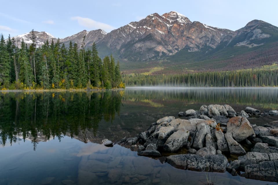 Sight · 1.2 km awayPyramid LakeMountain reflections and an easy paddle with a short island walk.
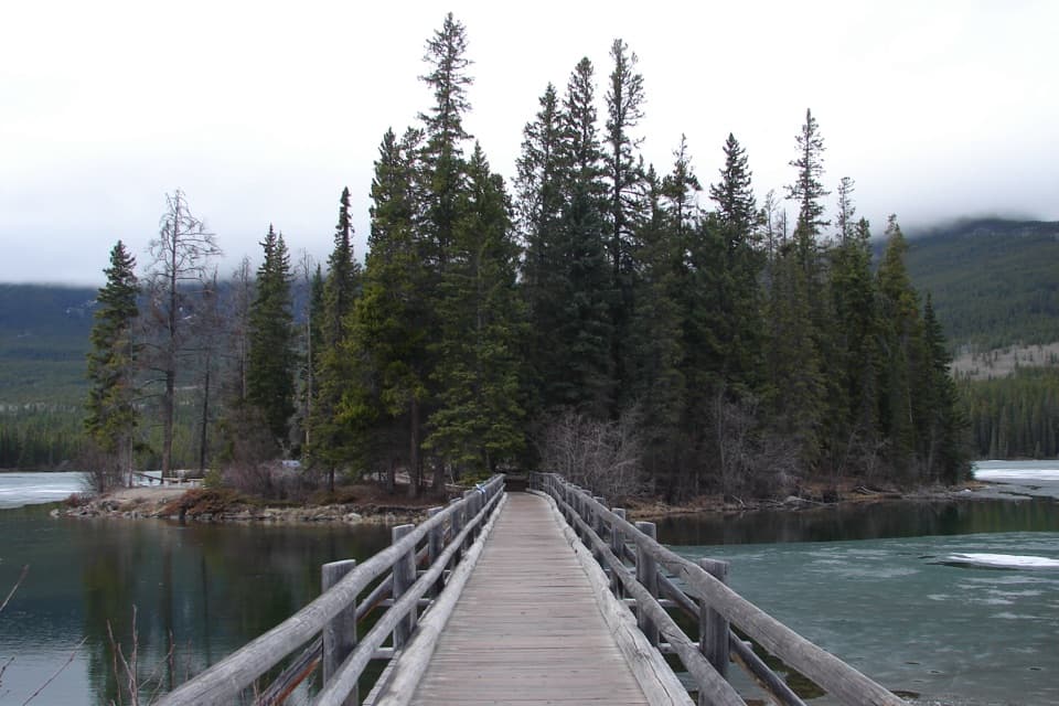 Sight · 1.3 km awayPyramid IslandCross the wooden bridge for a quick island loop and lake views.
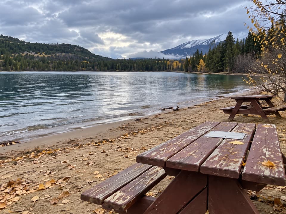 Beach · 1.7 km awayPyramid BeachSoft sand and mountain views make this a picnic stop.
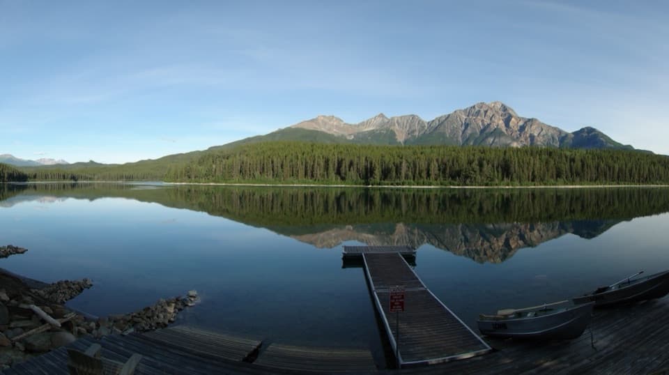 Sight · 1.8 km awayPatricia LakeA wartime ice-ship experiment beneath Pyramid Mountain.
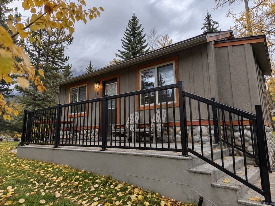 Lodging · 2.6 km awayPatricia Lake BungalowsQuiet cabins with canoes and kayaks to rent beside the lake.
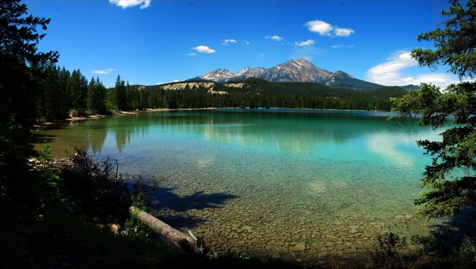 Beach · 3.2 km awayLake EdithA quieter swim stop with turquoise water and a public dock.
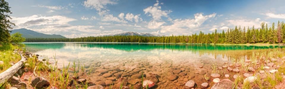 Beach · 3.2 km awayLake AnnetteA swim, picnic or paved loop with mountain views.
Parkwolf’s Jasper ranking

The audio tour guide for the drive, plus offline maps, trails, and wildlife heatmaps for when the signal drops.





