Parking
Start at the P7 parking lot at the north end of Pyramid Lake Road, the access used for the Pyramid Mountain Fire Road.
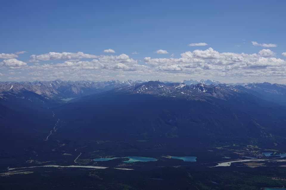
Jasper National Park, AB
A long fire-road approach ends in a bouldery summit scramble.
Overview
Map & elevation
Plan your hike

The highest, rockiest slopes around here are a summer buffet for grizzly bears.
Jasper Tour Guide
Parkwolf is a GPS audio tour guide for Jasper National Park. As you drive, it chimes in with what’s ahead: hidden gems, upcoming stops, history, geology, and wildlife, right through your car’s speakers.
See the Jasper audio tourRecorded for this trailhead
Pyramid Island: A Short Walk onto the Lake“You're nearing Pyramid Island, where a wooden footbridge takes you out onto Pyramid Lake.”
Plays as you drive up to this trailhead in the Parkwolf Jasper Tour Guide.
More stories near here in the app
“Fantastic app with many points of information… It’s great to just turn on while you’re driving and it gives you an audio tour of the national Park. We love it!!!!”


Trail guide
Pyramid Mountain is a very strenuous 17.5-mile (28.2-kilometre) out-and-back from the P7 parking lot at the north end of Pyramid Lake. The route gains about 1,555 metres and takes roughly 10 to 14 hours on foot. A long gravel fire-road approach gives way to a steepening alpine climb and bouldery scrambling near the top. This is for experienced hikers who are comfortable with a long day and rough mountain footing.
Follow Pyramid Mountain Fire Road from P7. At the fork where the right branch heads to Palisades Lookout, stay left for Pyramid Mountain. The road then steepens and ends in a meadow with the upper route ahead. Cairns mark the way beside a drainage as you climb toward the ridge; route-finding takes more attention once the road ends. The optional descent to an alpine tarn is a separate extension and is not included in this distance.
Most of the approach follows a long fire road through forest. Biking the fire road is common and can shorten the on-foot day, but the summit climb is still a hike and scramble. Above treeline the views open toward Mount Zengel and Mount Cairngorm. Sources describe the upper tread differently, but the final ascent includes boulders that require scrambling; loose rocks make the descent slower and more careful.
Pyramid Mountain rises to 2,766 metres. From the upper ridge, look toward Jasper Lake and Roche Miette; on a clear day Mount Robson is visible far to the north. The leveled summit once held a microwave repeater tower, which had been removed by 2005. For a photo, leave some of the rocky summit in the frame with the valley beyond so the panorama has a sense of scale.
The 5.3-kilometre Pyramid Bench Overlook Loop is a much shorter outing in the same area, but it visits overlooks rather than climbing Pyramid Mountain. Choose it if you want a view without committing to the summit day. No potable-water source is confirmed along the summit route, so carry enough for the full outing.
Wildlife
 175 sightingsGrizzly BearMost seen around 8 PMSighting map
 43 sightingsCaribouMost seen around 7 AMSighting map
 41 sightingsGray WolfMost seen around 6 AMSighting map
 12 sightingsCanada LynxMost seen around 8 PMSighting map
 320 sightingsMooseMost seen around 6 AMSighting map
 1,048 sightingsElkMost seen around 7 AMSighting map
Sighting maps show where each species has been reported across Jasper. Wildlife moves, so no sighting is guaranteed.
Keep exploring
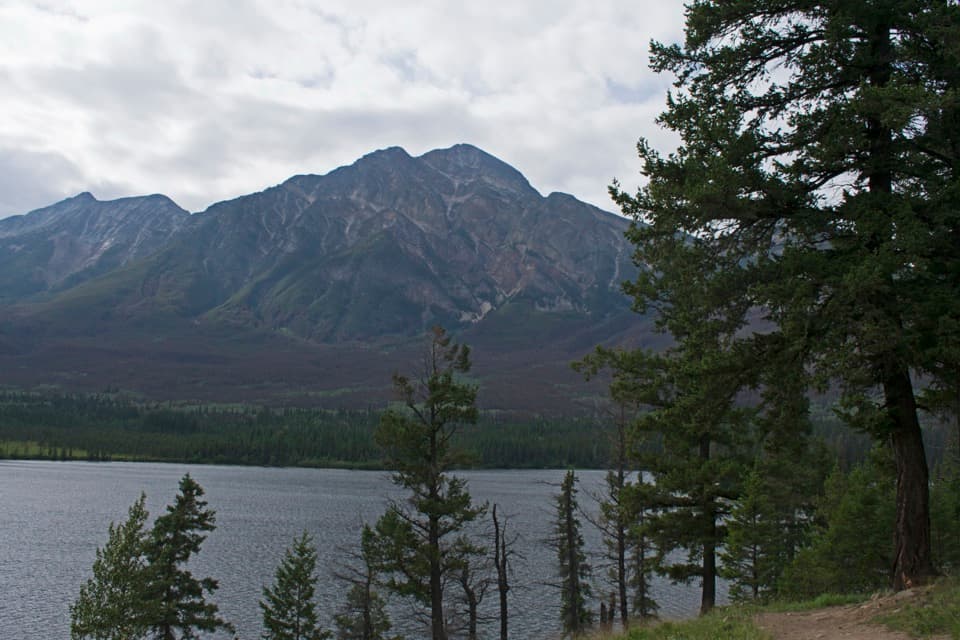 ModerateOverlook Loop5.8 km · 1.5 hr · At the trailheadClimb to Pyramid Bench for lake, valley, and red-chair views
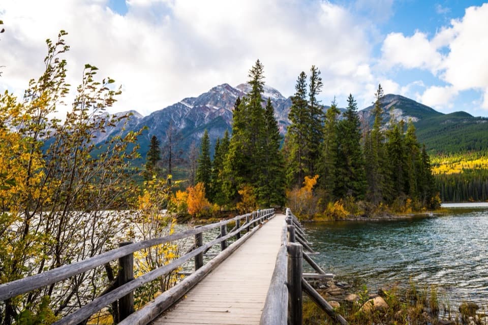 EasyPyramid Island Trail0.7 km · 20 min · 0.2 km awayCross a wooden bridge for an easy island loop and mountain views.
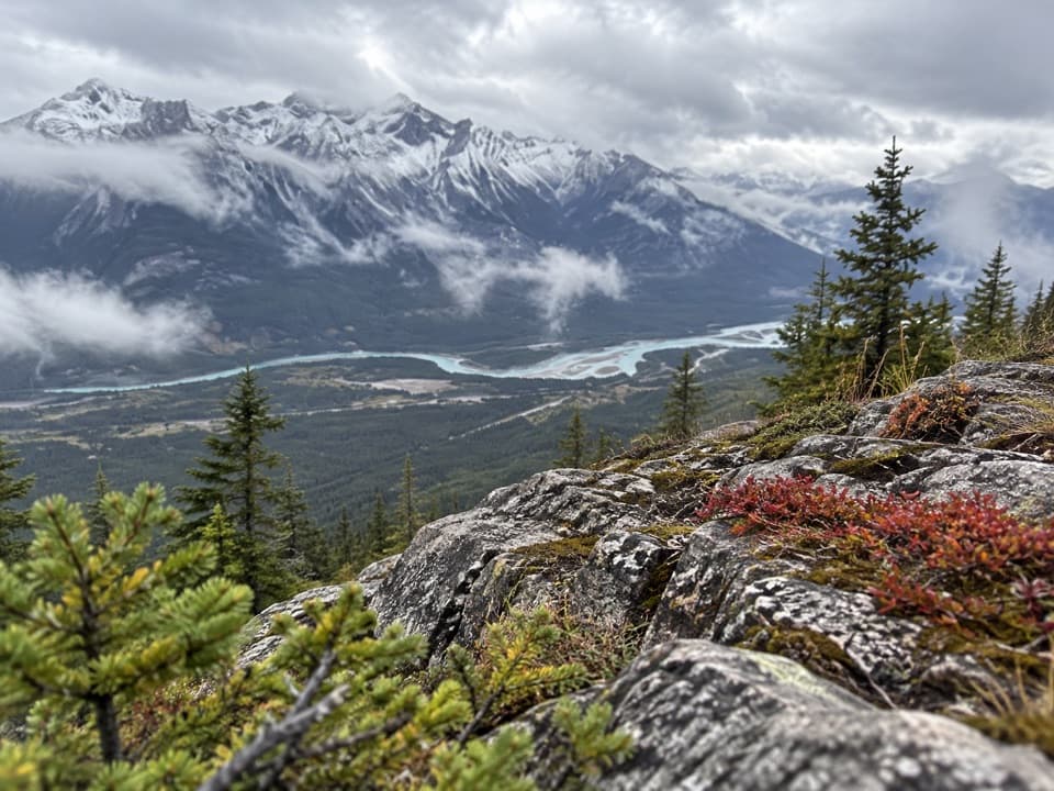 ChallengingPalisades Lookout Trail19.3 km · 8 hr · 0.9 km awayA long climb to a former fire lookout above the Athabasca Valley
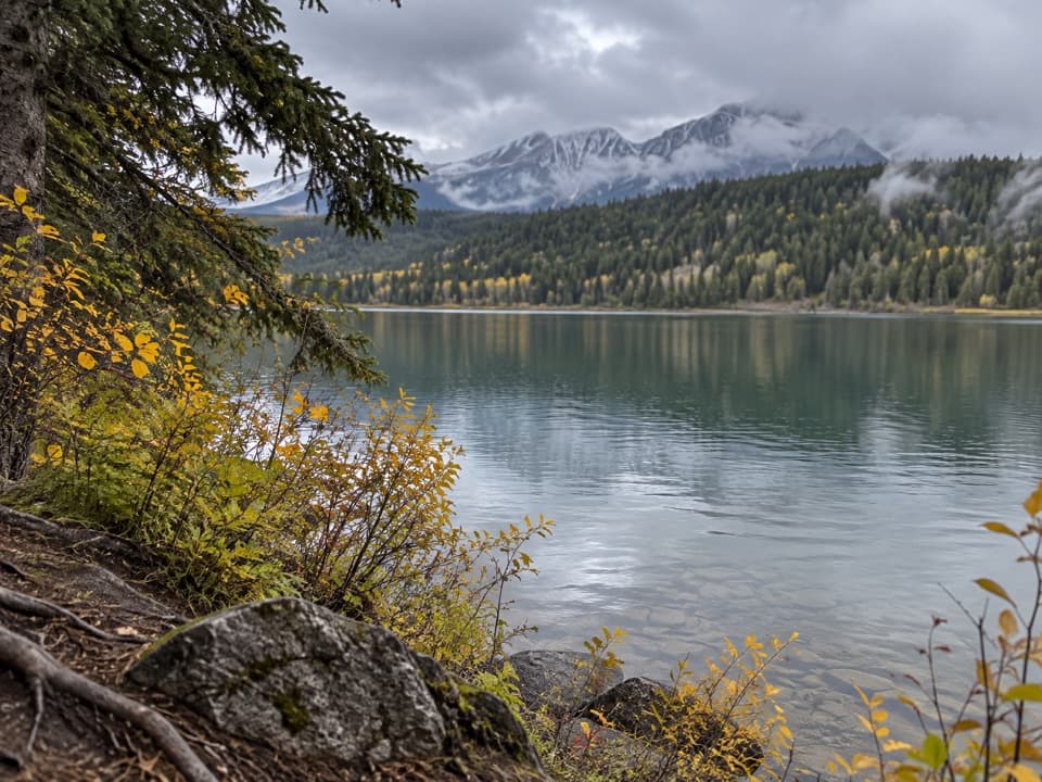 ModeratePatricia Lake Loop4.8 km · 2.5 hr · 2.5 km awayA lake and wetland loop with red chairs facing Whistler.
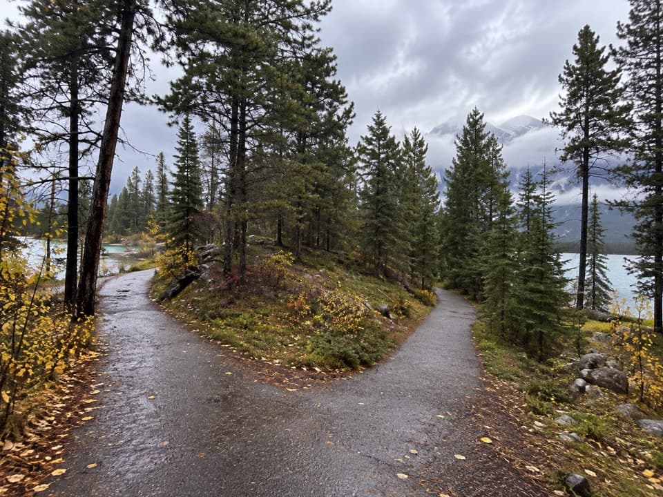 EasyLake Annette Loop2.4 km · 1.2 hr · 3.6 km awayA paved lakeshore circuit with mountain views and wheelchair-height signs.
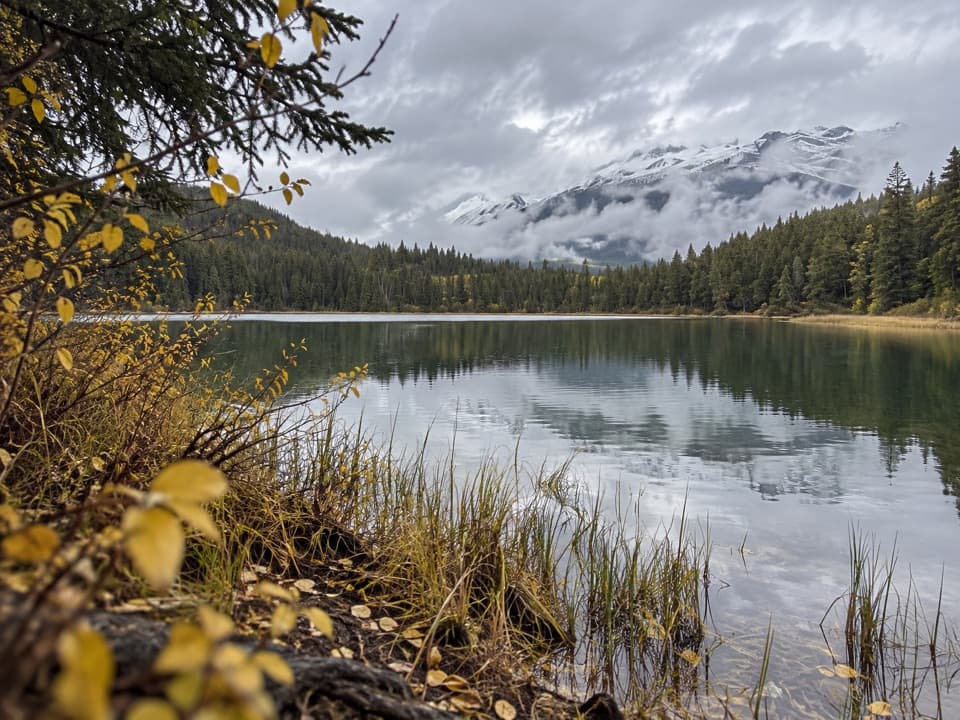 ModerateCabin Lake Trail6.8 km · 2.3 hr · 3.9 km awayA forest fire road ends at a quiet lake near Jasper.
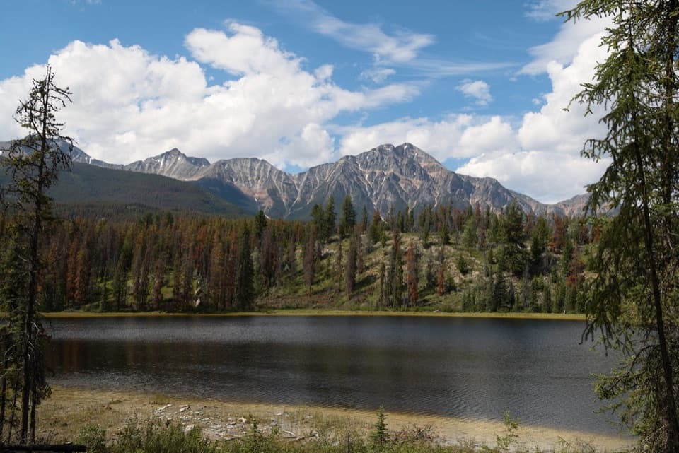 ModerateMina-Riley Lakes Loop9 km · 3.5 hr · 5.1 km awayA wetland circuit links two Mina Lakes with Riley Lake.
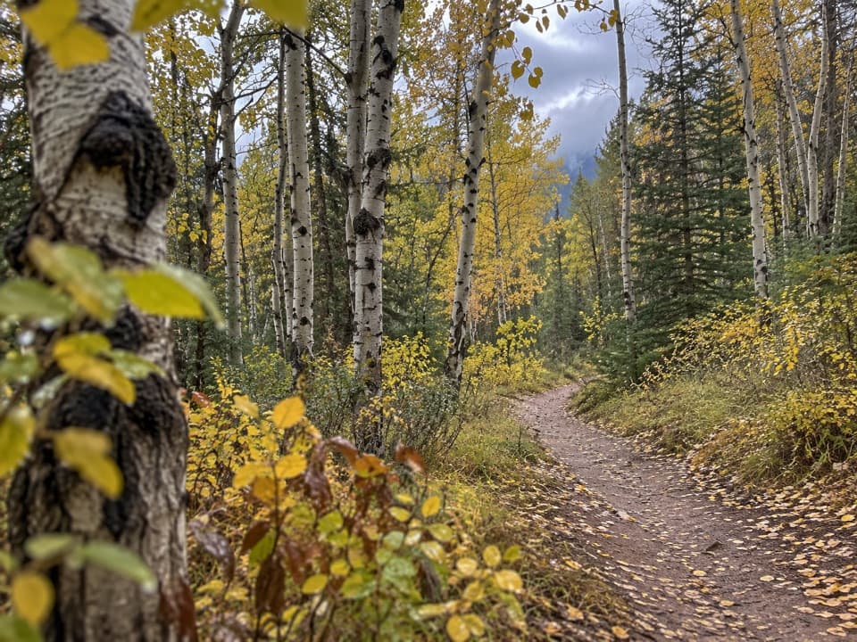 ModeratePyramid Trail11.4 km · 3.5 hr · 5.1 km awayA broad forested climb links Jasper with the Pyramid Bench lakes.
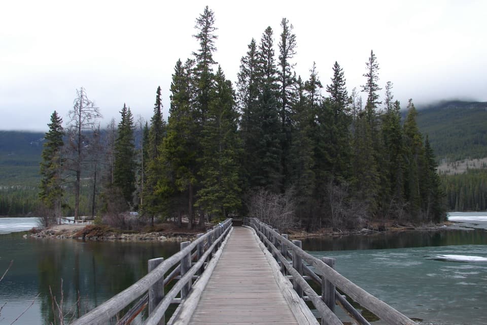 Sight · 0.3 km awayPyramid IslandCross the wooden bridge for a quick island loop and lake views.
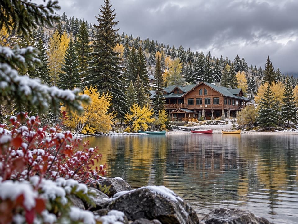 Lodging · 1.1 km awayPyramid Lake LodgeStay by Pyramid Lake for seasonal paddling and winter outings.
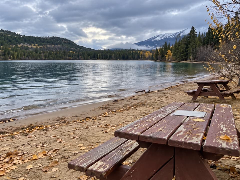 Beach · 1.2 km awayPyramid BeachSoft sand and mountain views make this a picnic stop.
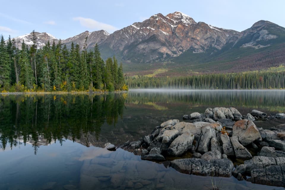 Sight · 1.2 km awayPyramid LakeMountain reflections and an easy paddle with a short island walk.
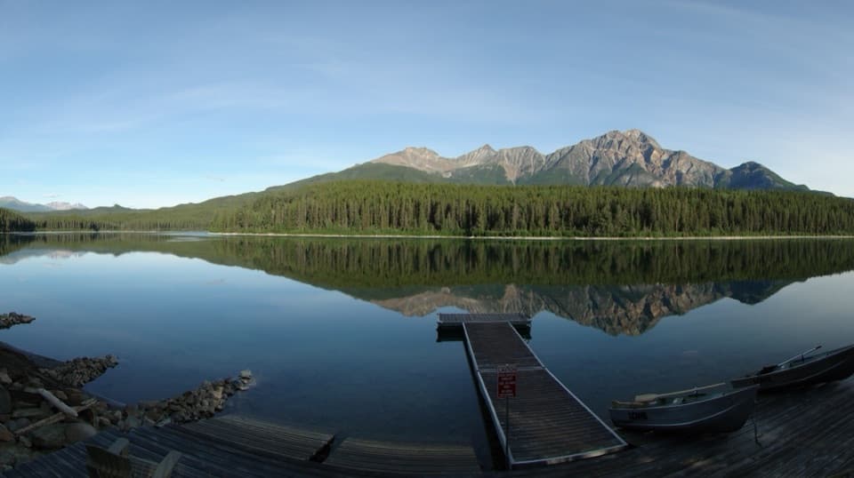 Sight · 1.7 km awayPatricia LakeA wartime ice-ship experiment beneath Pyramid Mountain.
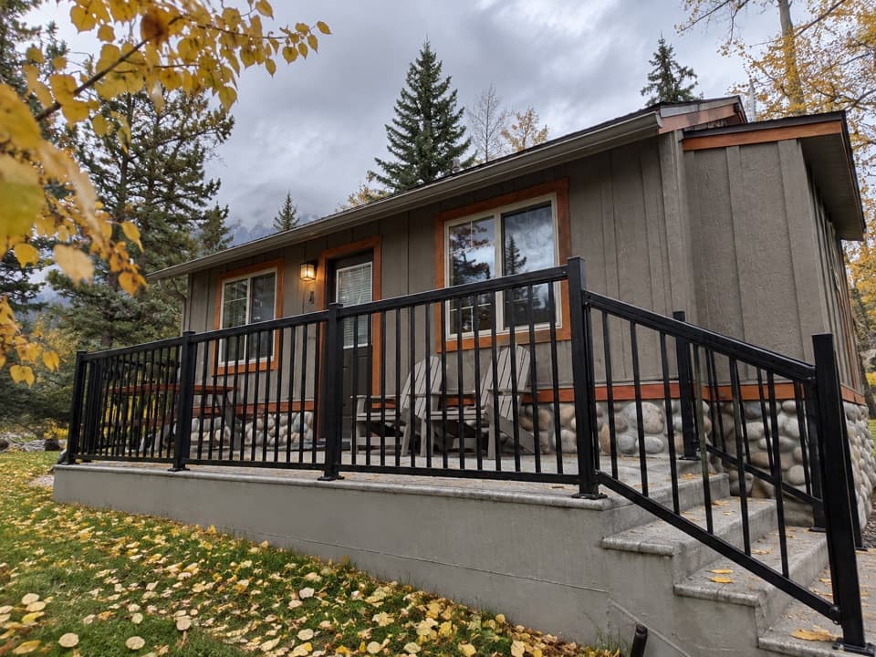 Lodging · 2.5 km awayPatricia Lake BungalowsQuiet cabins with canoes and kayaks to rent beside the lake.
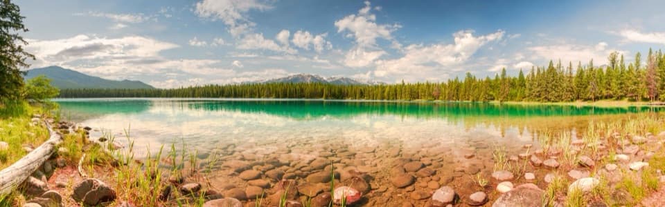 Beach · 4 km awayLake AnnetteA swim, picnic or paved loop with mountain views.
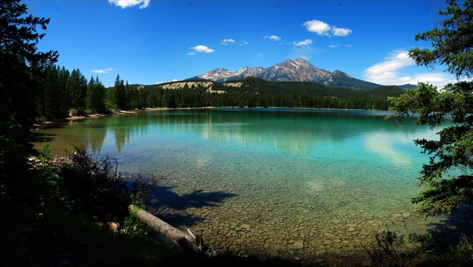 Beach · 4 km awayLake EdithA quieter swim stop with turquoise water and a public dock.
Parkwolf’s Jasper ranking

The audio tour guide for the drive, plus offline maps, trails, and wildlife heatmaps for when the signal drops.





