Watchtower Trail in Jasper National Park

Jasper National Park, AB

Watchtower Trail

Remote alpine basin route with a demanding river crossing and Skyline connection

Photo: Wikimedia Commons
Length
25.4km
Time
14hr
Elev. change
953m
Difficulty
Challenging
  • No dogs
  • High point 2,343 m
  • #44 of 91 in Jasper

Hear the audio tour

After the Flames: Life in the Excelsior Creek Burn

Overview

About Watchtower Trail

Why go

  • Remote alpine basin and Maligne Range views with far less traffic than the Skyline Trail
  • Designated Watchtower Camp offers a possible permitted overnight split
  • Can serve as a quieter approach or escape connection to the Skyline Trail

Heads up

  • Unmaintained route with faint tread, boggy sections, and limited wayfinding
  • The Maligne River has no bridge at the trailhead and may be impassable at high water
  • Long 25.4 km out-and-back with steep climbing and an additional creek crossing
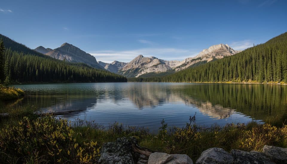
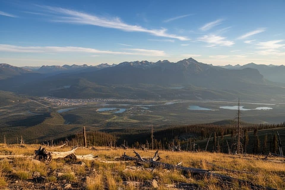
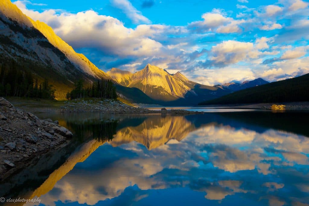
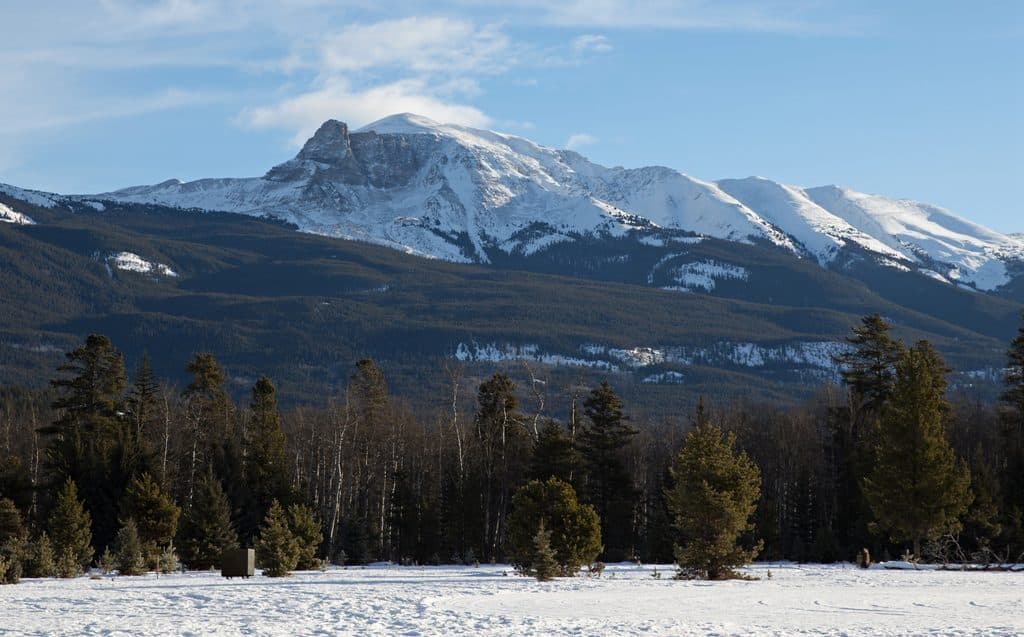
Watchtower is a remote, unmaintained backcountry route into a quiet alpine basin beneath The Watchtower, with broad views across Jasper’s Maligne Range. It is a demanding wilderness outing rather than a maintained day-use trail.
Parkwolf’s verdictWhy go

Map & elevation

The route

Loading the Jasper map
Full map
Elevation1,390–2,343 m
TrailheadWatchtower Trailhead52.87920, -117.83579
Keep this map with you offline in the Parkwolf app

Plan your hike

Before you go

Parking

Park at the Watchtower trail access on the west side of Maligne Lake Road, about 20 km from Jasper. This is a backcountry access rather than a developed day-use trailhead; leave room for other vehicles and do not count on a bridge across the Maligne River.

Safety

Unmaintained backcountry route with a potentially impassable, unbridged Maligne River crossing, an additional creek crossing, boggy or muddy sections, faint tread, steep alpine terrain, and rapid weather changes. Carry navigation and bear-country safety gear; a backcountry permit is required for overnight camping.

8 active Jasper alerts

  • ClosureMaligne River watercraft closureMentions Maligne River, referenced in this guideDo not use, enter or travel by watercraft on the Maligne River between Maligne Lake and Medicine Lake; the closure protects Harlequin Ducks from human disturbance.Official details
  • ClosureWildfire-impacted areas and facilities closedStay out of closed wildfire-impacted areas and facilities in Jasper National Park; closures protect public safety after the 2024 wildfire and remain in effect while recovery and safety work continues.Official details
See all 8 alerts
A park ranger sits on a dash-mounted phone, talking, as Parkwolf’s Tour Guide plays “Army Cutworm Moths: A Grizzly Bear Buffet” on Grand Loop Road below Dunraven Pass in Yellowstone
Parkwolf Tour GuideThe highest, rockiest slopes around here are a summer buffet for grizzly bears.

Jasper Tour Guide

Your drive to Watchtower Trail, narrated.

Parkwolf is a GPS audio tour guide for Jasper National Park. As you drive, it chimes in with what’s ahead: hidden gems, upcoming stops, history, geology, and wildlife, right through your car’s speakers.

See the Jasper audio tour

Recorded for this area

After the Flames: Life in the Excelsior Creek Burn
Listen
“This landscape was transformed by the Excelsior Creek wildfire back in 2015. A fire might look destructive, but it’s really a fresh start.”

Plays on the road 0.1 km from the trailhead in the Parkwolf Jasper Tour Guide.

More stories near here in the app

  • Medicine Lake: The Disappearing Lake
  • The Call of the Loon
  • Shooting the Rockies Right
  • Jacques Lake Trail: A Gentle Forest Walk
  • 157 audio storiesacross Jasper’s roads, triggered by GPS as you drive
  • Wildlife heatmapsfor Grizzly Bear, Caribou, Gray Wolf, and 13 more
  • Works offlinemaps, 91 trails, 129 places, and audio download before you lose signal
  • CarPlay readysimple controls built for the drive
★★★★★
“Fantastic app with many points of information… It’s great to just turn on while you’re driving and it gives you an audio tour of the national Park. We love it!!!!”
JMJamesApp Store review
Download Parkwolf on the App StoreGet Parkwolf on Google Play

4.7 from 8,600+ ratings

Trail guide

Hiking Watchtower Trail

The routeFrom the roadside trailhead on Maligne Lake Road, the route crosses the Maligne River and…

From the roadside trailhead on Maligne Lake Road, the route crosses the Maligne River and climbs beside Excelsior Creek before traversing the lower slopes of The Watchtower. It then turns south into Watchtower Basin, passes the designated Watchtower Camp area, and continues through alpine meadows toward the Watchtower Col and its connection with the Skyline Trail. The mapped corridor is about 12.7 km (7.9 mi) one way; hiking it as an out-and-back is about 25.4 km (15.8 mi) and takes roughly 14 hours. The corridor is stored once, not duplicated on the return.

Difficulty and conditionsThis is a strenuous, unmaintained route with steep climbing, boggy or muddy sections, faint…

This is a strenuous, unmaintained route with steep climbing, boggy or muddy sections, faint tread, and limited wayfinding in the upper basin. The Maligne River crossing at the trailhead has no bridge and can be impassable during high water. A creek crossing near the backcountry camp can also require a careful ford or rock hop.

Camping and logisticsWatchtower Camp provides a possible overnight split for visitors carrying the required…

Watchtower Camp provides a possible overnight split for visitors carrying the required backcountry permit. The route can also be used as an approach or escape connection to the Skyline Trail, but a point-to-point trip requires a transportation plan at the other end. Carry navigation equipment, sufficient water, and bear-country safety gear.

AccessPark at the Watchtower trail access on the west side of Maligne Lake Road, about 20 km from…

Park at the Watchtower trail access on the west side of Maligne Lake Road, about 20 km from Jasper according to route sources. The trail is not maintained by Parks Canada; confirm current access and river conditions before setting out. No bridge should be assumed at the Maligne River crossing.

Bottom lineA scenic, quiet, and serious alpine route for experienced hikers who are prepared for an…

A scenic, quiet, and serious alpine route for experienced hikers who are prepared for an unmaintained trail, a potentially difficult river crossing, and a long 25.4 km return day—or a permitted overnight trip.

Wildlife

Wildlife in Jasper

All Jasper wildlife maps

Sighting maps show where each species has been reported across Jasper. Wildlife moves, so no sighting is guaranteed.

Keep exploring

Near Watchtower Trail

See it all on the map

Trails that start nearby

Places near the trailhead

Parkwolf’s Jasper ranking

Top-rated trails in Jasper

All 91 trails
  1. 1Skyline TrailChallenging · 44.1 km
  2. 2Maligne CanyonModerate · 3.7 km
  3. 3Cavell MeadowsModerate · 8.4 km
  4. 4Sulphur SkylineChallenging · 8.9 km
  5. 5Athabasca Falls LoopEasy · 0.8 km
  6. 6Indian RidgeChallenging · 8.9 km

Take Parkwolf to Jasper.

The audio tour guide for the drive, plus offline maps, trails, and wildlife heatmaps for when the signal drops.

4.7 from 8,600+ ratings

Download Parkwolf on the App StoreGet Parkwolf on Google Play