Plan for sun and parking
Start from the Twin Tanks lot on Pinto Basin Road. Parking can be difficult on busy days, so an early start helps. The route has little shade; bring water, food and sun protection.
Sight · Joshua Tree National Park
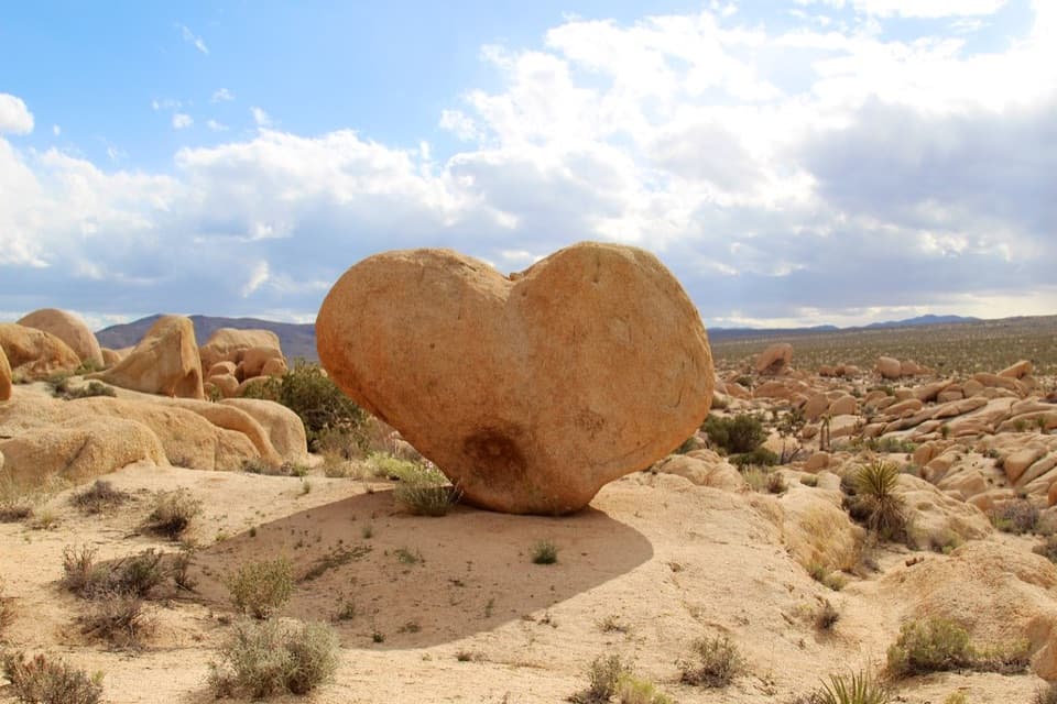
Find the angle that turns this granite boulder into a desert heart.
Overview
Map
Plan your stop

The highest, rockiest slopes around here are a summer buffet for grizzly bears.
Joshua Tree Tour Guide
Parkwolf is a GPS audio tour guide for Joshua Tree National Park. As you drive, it chimes in with what’s ahead: hidden gems, upcoming stops, history, geology, and wildlife, right through your car’s speakers.
See the Joshua Tree audio tourRecorded for this place
Arch Rock from Twin Tanks“You're nearing the Twin Tanks trailhead for Arch Rock, a stone span tucked among rounded granite boulders.”
Plays as you drive up to Heart Rock in the Parkwolf Joshua Tree Tour Guide.
More stories near here in the app
“Fantastic app with many points of information… It’s great to just turn on while you’re driving and it gives you an audio tour of the national Park. We love it!!!!”


Guide
Heart Rock is a naturally formed granite boulder beside a short spur from Arch Rock Trail at Twin Tanks. It is a distinctive add-on if you are already walking this route, not a roadside pullout.
The Arch Rock lollipop loop is 1.4 miles with about 100 feet of gain; Heart Rock is a separate short spur, so the full outing is longer. The route crosses open boulder terrain, and the heart shape is easy to miss if you only look from one side.
Walk around to the opposite side of the boulder for the clearest heart outline. For a photo, keep some of the pale granite shelf and surrounding boulder field in frame so the rock stays grounded in its desert setting.
Wildlife
 129 sightingsBighorn SheepMost seen around 6 PMSighting map
 15 sightingsGolden EagleMost seen around 10 AMSighting map
 413 sightingsDesert TortoiseMost seen around 8 AMSighting map
 275 sightingsCoyoteMost seen around 6 AMSighting map
 47 sightingsBobcatMost seen around 6 PMSighting map
 32 sightingsMule DeerMost seen around 6 AMSighting map
Sighting maps show where each species has been reported across Joshua Tree. Wildlife moves, so no sighting is guaranteed.
Keep exploring
 EasyArch Rock Trail1.3 mi · 1 hr · 0.6 mi awayA short sandy walk ends at a sculpted granite arch.
 EasyDiscovery Trail0.7 mi · 36 min · 2.8 mi awayA short loop through washes, rock slots, and a desert overlook.
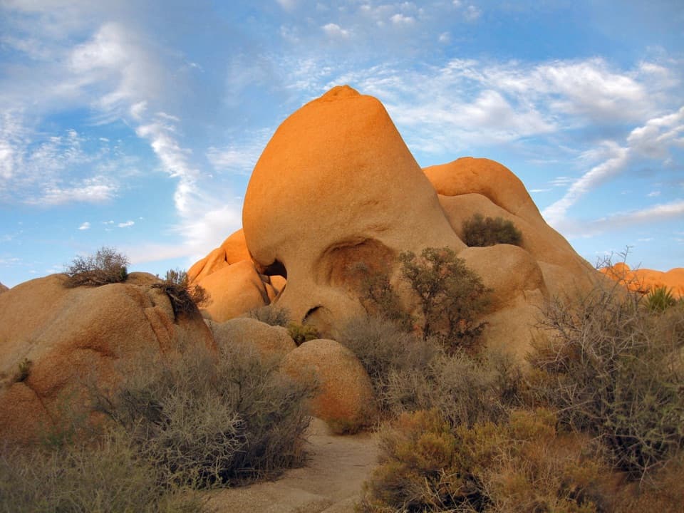 EasySkull Rock Nature Trail1.8 mi · 1.5 hr · 2.8 mi awayA short loop to a skull-shaped granite formation
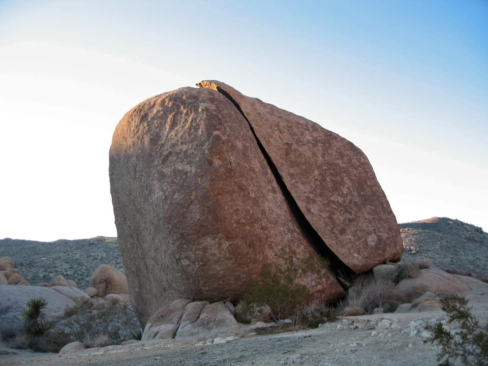 ModerateSplit Rock Loop Trail2.5 mi · 2 hr · 2.8 mi awayA short boulder loop with a Face Rock detour worth the turn.
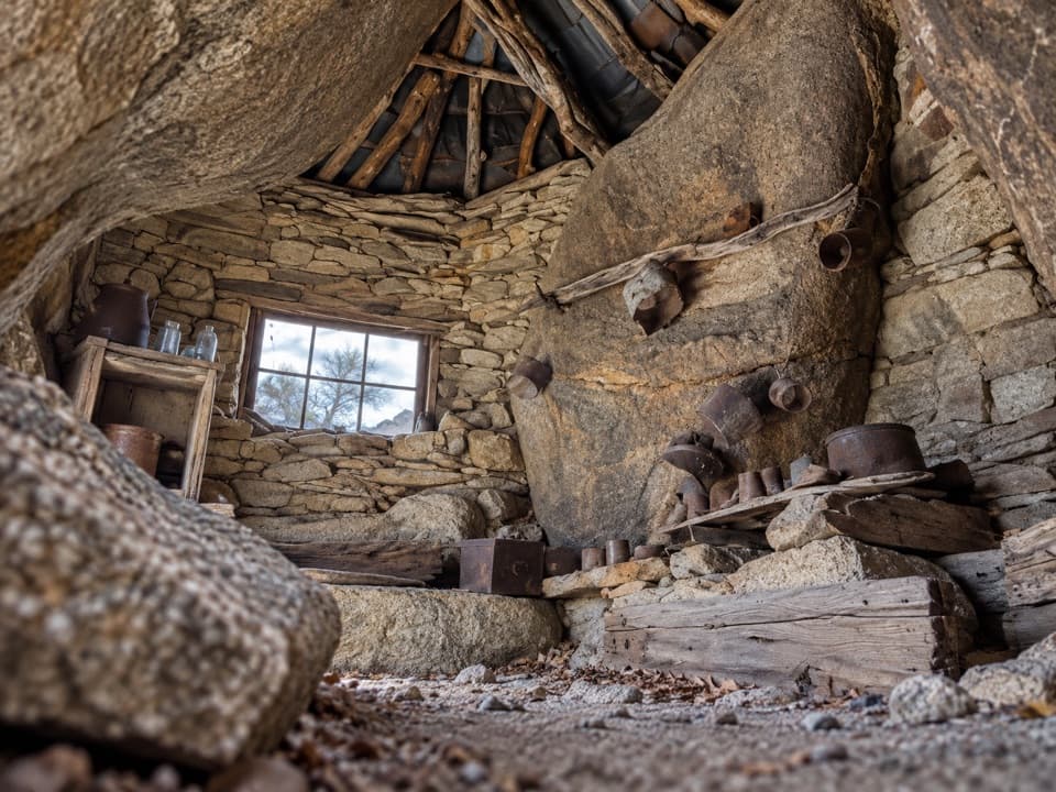 ChallengingEagle Cliff Mine Trail3.5 mi · 3 hr · 4.4 mi awayA hidden cabin in boulders, reached by a faint desert route
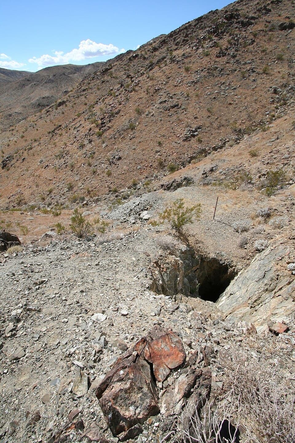 EasyDesert Queen Mine Trail1.5 mi · 1.3 hr · 4.4 mi awayOld mine gear rewards a short desert walk; stay outside the gates.
 EasyPine City Trail4 mi · 2.5 hr · 4.4 mi awayA desert walk to pinyons tucked among granite boulders.
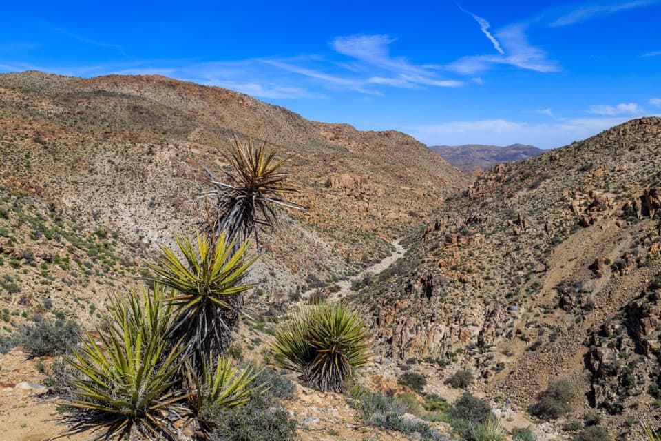 EasyLucky Boy Vista Trail2.5 mi · 1.5 hr · 4.5 mi awayAn easy desert walk to mine remains and a wide valley overlook.
 Sight · 0.2 mi awayArch RockA natural arch tucked into a maze of sculpted desert boulders.
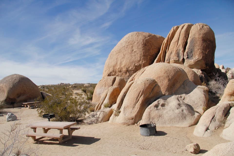 Campground · 0.3 mi awayWhite Tank CampgroundCamp among the boulders, with Arch Rock close at hand.
 Campground · 1 mi awayBelle CampgroundEighteen simple sites tucked among Joshua trees and granite boulders.
 Picnic area · 2.3 mi awayLive Oak Picnic AreaPicnic tables, boulders to scramble, and a curious old oak.
 Campground · 2.6 mi awayJumbo Rocks CampgroundA campsite in a maze of boulders, with stars overhead after dark.Sight · 2.7 mi awaySkull RockA skull-shaped granite boulder makes a memorable roadside pause.
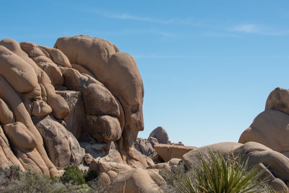 Sight · 2.8 mi awayFace RockA face in the rocks rewards a short spur detour.Sight · 2.9 mi awaySplit RockThe namesake boulder sits at the start of a 2.5-mile desert loop.
Parkwolf’s Joshua Tree ranking

The audio tour guide for the drive, plus offline maps, trails, and wildlife heatmaps for when the signal drops.