Parking
Start at the Lost Horse Mine Trailhead off Keys View Road. Vehicle parking and a vault/composting restroom, including accessible facilities, are listed at the trailhead; parking capacity is not confirmed.

Joshua Tree National Park, CA
An exposed loop past a historic mine with broad desert views.
Overview
Lost Horse Loop is a strenuous 6.3-mile circuit from the Lost Horse Mine Trailhead off Keys View Road. It climbs toward the historic mill, then makes a wider circuit through open slopes and Lost Horse Valley before returning to the same start. The mine is the obvious payoff; the extra miles are for the larger desert walk, not just another way back from the mine. Allow three to four hours. Published figures range from 6.2 to 6.5 miles; this mapped line includes the short trailhead access and rounds to 6.3. A separate 4-mile option goes to the mine and returns by the same corridor.
 Parkwolf’s verdictIs this the hike for you?
Map & elevation
Plan your hike

The highest, rockiest slopes around here are a summer buffet for grizzly bears.
Joshua Tree Tour Guide
Parkwolf is a GPS audio tour guide for Joshua Tree National Park. As you drive, it chimes in with what’s ahead: hidden gems, upcoming stops, history, geology, and wildlife, right through your car’s speakers.
See the Joshua Tree audio tourRecorded for this trailhead
Lost Horse Mine and Its Stamp Mill“Up ahead is the Lost Horse Mine trailhead, for a hike to a surviving timber stamp mill. Choose the four-mile out-and-back for the mine, allowing two to three hours and about five hundred fifty feet of climbing.”
Plays as you drive up to this trailhead in the Parkwolf Joshua Tree Tour Guide.
More stories near here in the app
“Fantastic app with many points of information… It’s great to just turn on while you’re driving and it gives you an audio tour of the national Park. We love it!!!!”


Trail guide
The first leg follows an old mining road converted to trail and rises toward the mine. Expect rough, rocky ground and very little shade. The surviving timber stamp mill and rusted machinery make a striking stop. Look from outside the fence: the old structures and mine workings are unstable, and historic objects must stay where they are.
Past the mine, the route continues around low hills and across a broad, open stretch before turning back toward the trailhead. The loop adds several miles of desert scenery, but the mine is the main built landmark. Some longer route descriptions add a Lost Horse Mountain side trip and reach about 6.8 miles; this 6.3-mile line follows the named loop without that extension.
The full loop is listed as strenuous and is not a hot-weather hike. With so little shade, distance and sun matter more than the modest climb suggests. Bring enough food and water for the full outing and sort out sun protection before leaving the trailhead.
Start at the Lost Horse Mine Trailhead off Keys View Road. Vehicle parking and a vault/composting restroom, including accessible facilities, are listed there; no water or food service was confirmed. Dogs are prohibited on park trails except the paved Oasis of Mara walk, so pets cannot come on this loop. Desert bighorn sheep sometimes use the rocky terrain nearby; keep a respectful distance if you see one.
Wildlife
 129 sightingsBighorn SheepMost seen around 6 PMSighting map
 15 sightingsGolden EagleMost seen around 10 AMSighting map
 413 sightingsDesert TortoiseMost seen around 8 AMSighting map
 275 sightingsCoyoteMost seen around 6 AMSighting map
 47 sightingsBobcatMost seen around 6 PMSighting map
 32 sightingsMule DeerMost seen around 6 AMSighting map
Sighting maps show where each species has been reported across Joshua Tree. Wildlife moves, so no sighting is guaranteed.
Keep exploring
 ModerateLost Horse Mine Trail4 mi · 2.5 hr · 0.1 mi awayA rocky desert walk to a wooden mine and stamp mill.
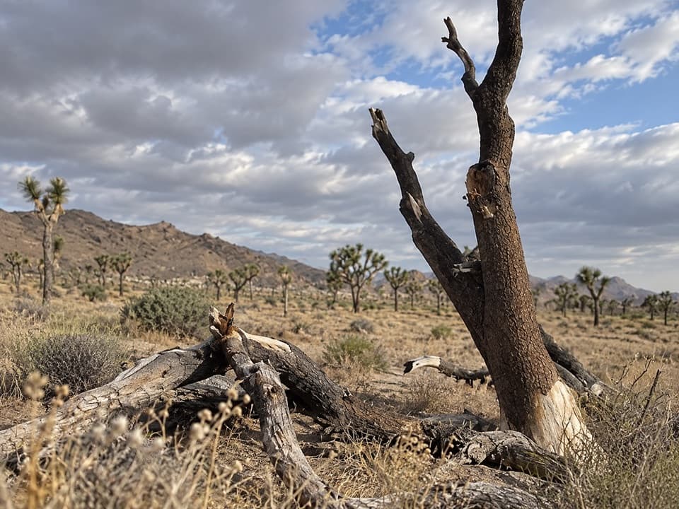 ModerateStubbe Springs Loop Trail12 mi · 6 hr · 1.8 mi awayA long, sandy desert loop to a green spring valley.
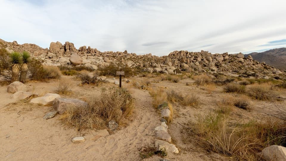 ModeratePaac Kü̱vü̱hü̱’k Trail4.5 mi · 3 hr · 1.9 mi awayA long, exposed traverse through open desert and scattered boulders.
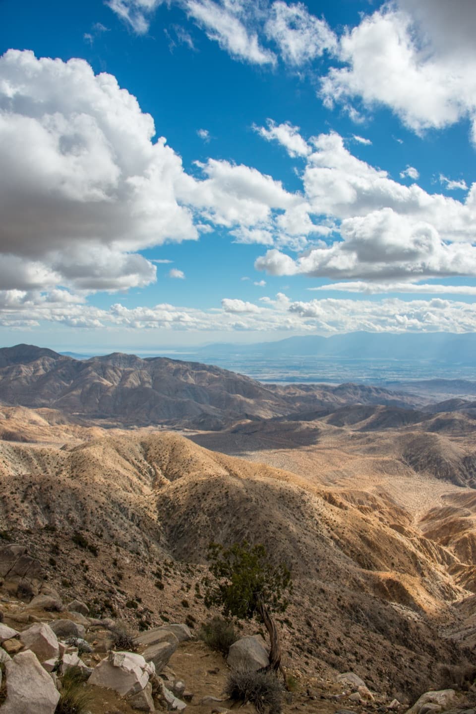 EasyKeys View Nature Trail0.3 mi · 20 min · 2.2 mi awayA short paved loop for the Coachella Valley panorama.
 ModerateInspiration Peak Trail1.8 mi · 1.5 hr · 2.2 mi awayA rocky summit adds the view Keys View can't give.
 ModerateBig Trees Trail6 mi · 3.5 hr · 2.4 mi awayA long out-and-back among some of the park's larger Joshua trees.
 EasyCap Rock Nature Trail0.4 mi · 36 min · 2.6 mi awayA quick loop among boulders, Joshua trees, and trail signs.
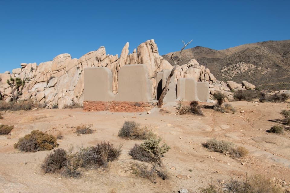 EasyRyan Ranch Trail1 mi · 1 hr · 2.7 mi awayAn easy mile to the old adobe ranch and fallen windmill.
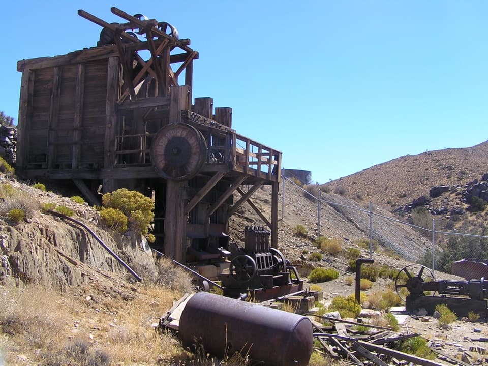 Sight · 1.6 mi awayLost Horse MineA stamp mill, gears, and rusted machinery at hike’s end.
 Campground · 2.2 mi awayRyan CampgroundCamp among boulders, with a short walk to 1896 ranch ruins.
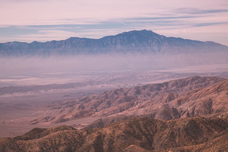 Sight · 2.2 mi awayKeys ViewA near mile-deep drop opens onto the Coachella Valley.Sight · 2.4 mi awayRyan RanchA short desert walk to the remains of an 1896 adobe homestead.
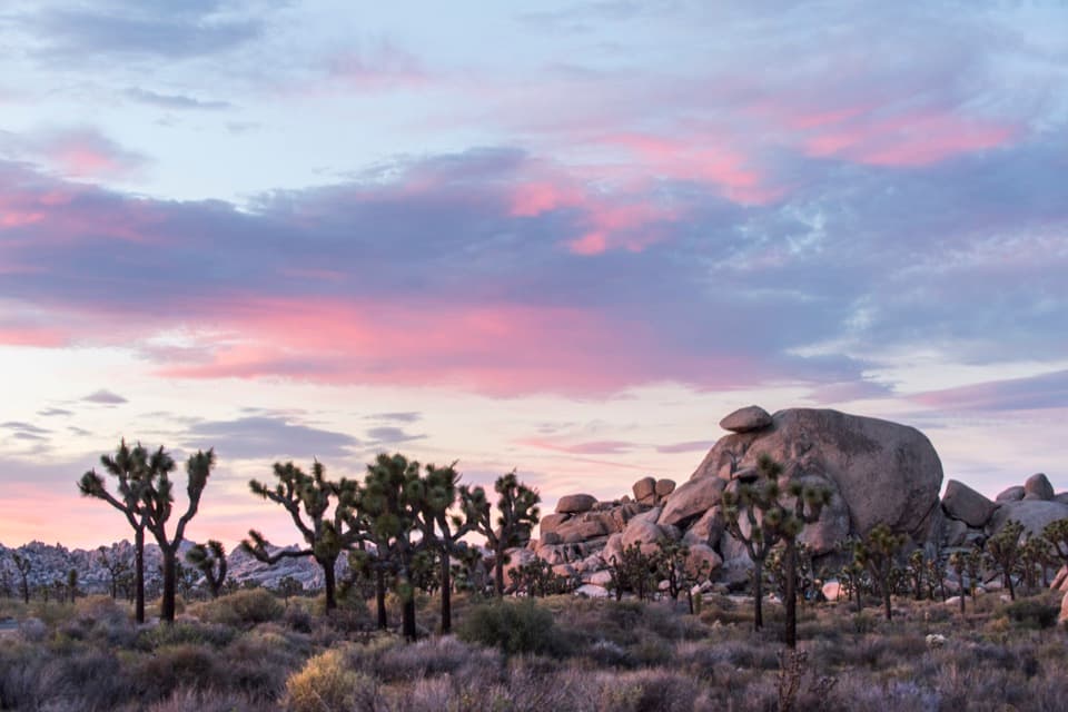 Sight · 2.7 mi awayCap RockA short boulder loop with a cap-shaped rock beside Joshua trees.
 Sight · 2.9 mi awayRyan MountainClimb through ancient banded rock for a 360-degree summit view.
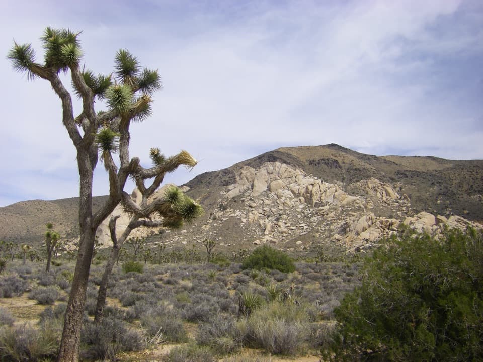 Sight · 2.9 mi awayOyster BarA roadside rock formation with desert views and climbing access.
 Sight · 3.4 mi awayHall of HorrorsTwo tight slots tucked into a maze of climbable boulders.
Parkwolf’s Joshua Tree ranking
The audio tour guide for the drive, plus offline maps, trails, and wildlife heatmaps for when the signal drops.





