Parking
Use the Upper Keys View parking area at the end of Keys View Road. It has 38 general spaces and two van-accessible spaces, one near the vault toilet. The separate Lower Keys View lot serves the lower viewpoint path.
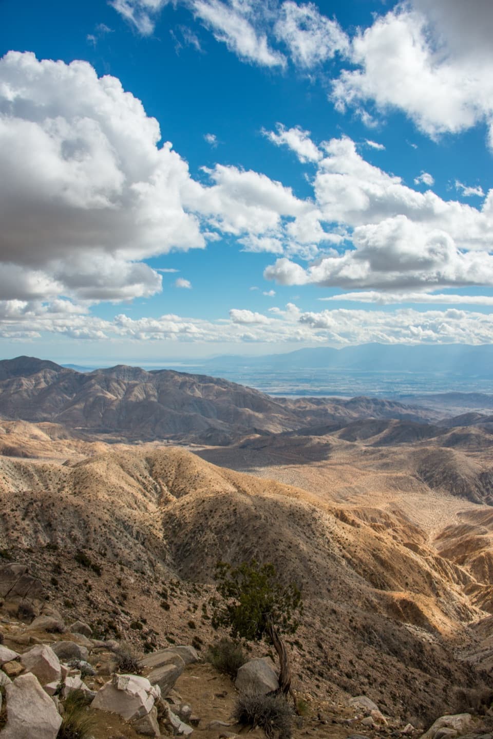
Joshua Tree National Park, CA
A short paved loop for the Coachella Valley panorama.
Overview
Map & elevation
Plan your hike

The highest, rockiest slopes around here are a summer buffet for grizzly bears.
Joshua Tree Tour Guide
Parkwolf is a GPS audio tour guide for Joshua Tree National Park. As you drive, it chimes in with what’s ahead: hidden gems, upcoming stops, history, geology, and wildlife, right through your car’s speakers.
See the Joshua Tree audio tourRecorded for this trailhead
Keys View Over the Coachella Valley“Up ahead is Keys View, a drive-up overlook where the ridge drops nearly a mile into the Coachella Valley. I'd keep this stop for the sheer scale of the view.”
Plays as you drive up to this trailhead in the Parkwolf Joshua Tree Tour Guide.
More stories near here in the app
“Fantastic app with many points of information… It’s great to just turn on while you’re driving and it gives you an audio tour of the national Park. We love it!!!!”


Trail guide
Keys View Nature Trail is a quarter-mile paved loop from the Upper Keys View parking area, climbing about 25 feet to a broad view over the Coachella Valley. It is a quick add-on to the overlook stop; the loop adds more views and wayside signs beyond the overlook platform. I'd allow about 20 minutes to walk it and look around.
The valley opens below the ridge, with the Salton Sea far to the left and the Santa Rosa Mountains, San Jacinto Peak, and San Gorgonio across the horizon. The San Andreas Fault runs through the valley below and its trace is visible from the ridge. On a very clear day, look far south for Signal Mountain in Mexico, about 90 miles away; haze often hides it. A little rocky foreground in your photo helps show the drop from the ridge toward the valley.
The route follows a paved sidewalk, but it has a steep section despite its short distance. The main overlook is wheelchair accessible; the upper loop may be difficult for some wheelchair users. If the grade is a concern, Lower Keys View is a separate 0.1-mile paved approach with minimal gain and its own viewpoint. It is not a shorter version of this loop.
Use the Upper Keys View parking area. A vault toilet is nearby, with no running water, and the viewpoint has tactile maps and geology exhibits. Dogs are not allowed on park trails, including paved ones.
Wildlife
 129 sightingsBighorn SheepMost seen around 6 PMSighting map
 15 sightingsGolden EagleMost seen around 10 AMSighting map
 413 sightingsDesert TortoiseMost seen around 8 AMSighting map
 275 sightingsCoyoteMost seen around 6 AMSighting map
 47 sightingsBobcatMost seen around 6 PMSighting map
 32 sightingsMule DeerMost seen around 6 AMSighting map
Sighting maps show where each species has been reported across Joshua Tree. Wildlife moves, so no sighting is guaranteed.
Keep exploring
 ModerateInspiration Peak Trail1.8 mi · 1.5 hr · At the trailheadA rocky summit adds the view Keys View can't give.
 ChallengingLost Horse Loop6.3 mi · 3.5 hr · 2.2 mi awayAn exposed loop past a historic mine with broad desert views.
 ModerateLost Horse Mine Trail4 mi · 2.5 hr · 2.3 mi awayA rocky desert walk to a wooden mine and stamp mill.
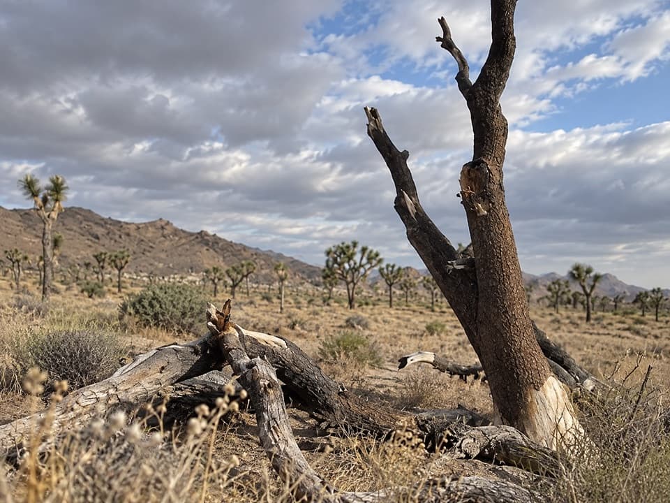 ModerateStubbe Springs Loop Trail12 mi · 6 hr · 3.7 mi awayA long, sandy desert loop to a green spring valley.
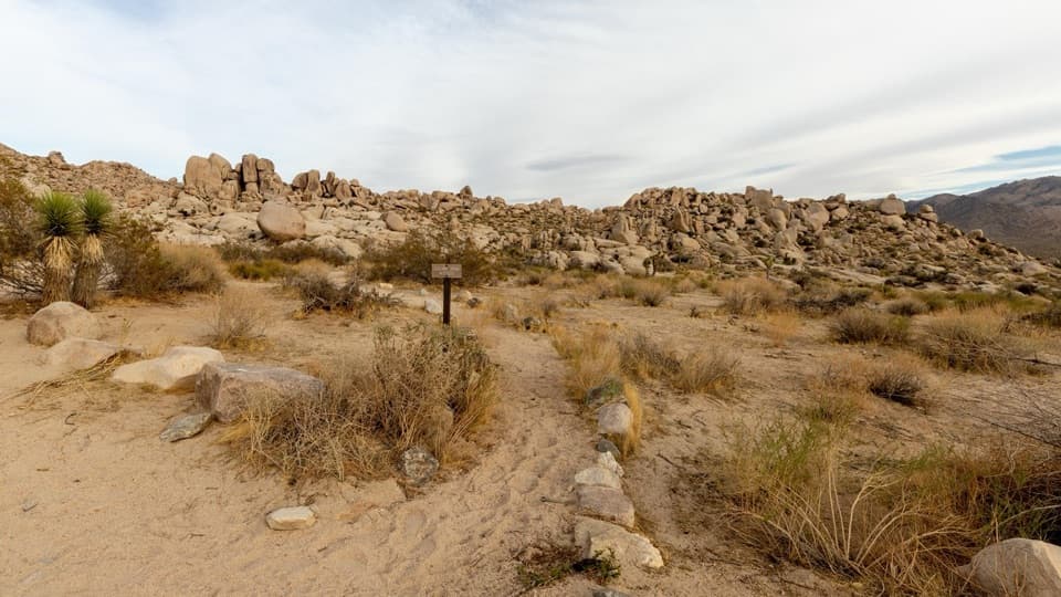 ModeratePaac Kü̱vü̱hü̱’k Trail4.5 mi · 3 hr · 4 mi awayA long, exposed traverse through open desert and scattered boulders.
 ModerateBig Trees Trail6 mi · 3.5 hr · 4.5 mi awayA long out-and-back among some of the park's larger Joshua trees.
 EasyCap Rock Nature Trail0.4 mi · 36 min · 4.5 mi awayA quick loop among boulders, Joshua trees, and trail signs.
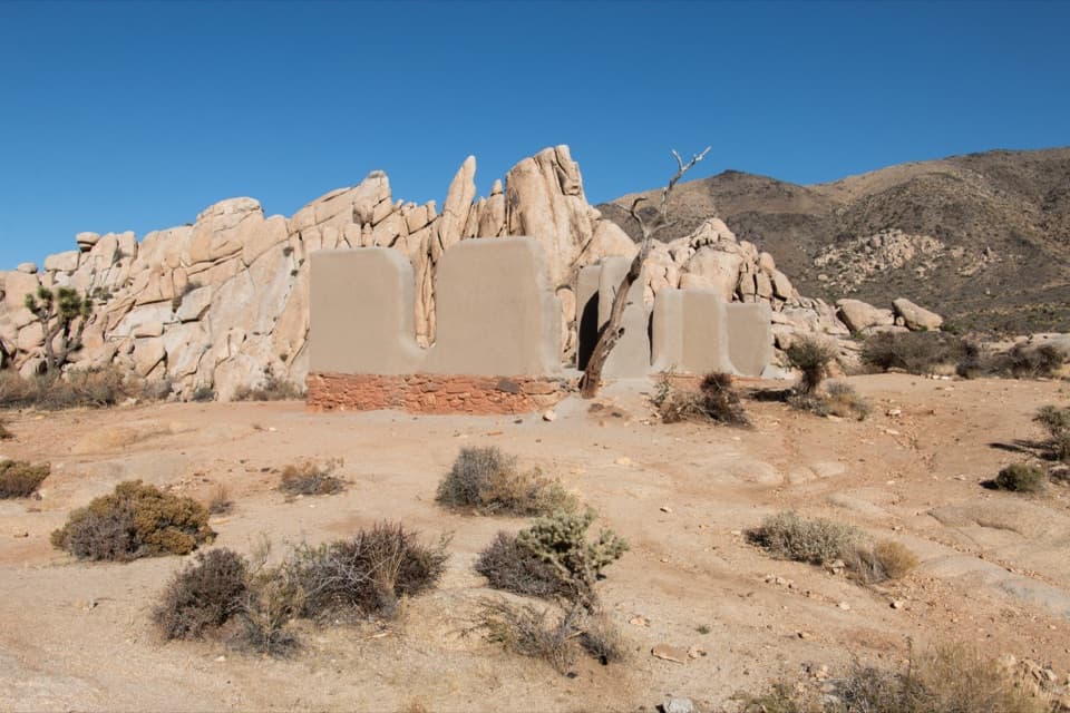 EasyRyan Ranch Trail1 mi · 1 hr · 4.7 mi awayAn easy mile to the old adobe ranch and fallen windmill.
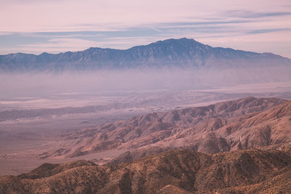 Sight · At the trailheadKeys ViewA near mile-deep drop opens onto the Coachella Valley.
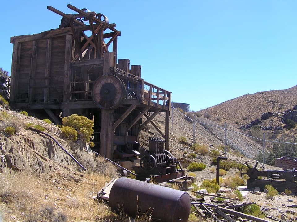 Sight · 3.1 mi awayLost Horse MineA stamp mill, gears, and rusted machinery at hike’s end.
 Campground · 4.3 mi awayRyan CampgroundCamp among boulders, with a short walk to 1896 ranch ruins.Sight · 4.5 mi awayRyan RanchA short desert walk to the remains of an 1896 adobe homestead.
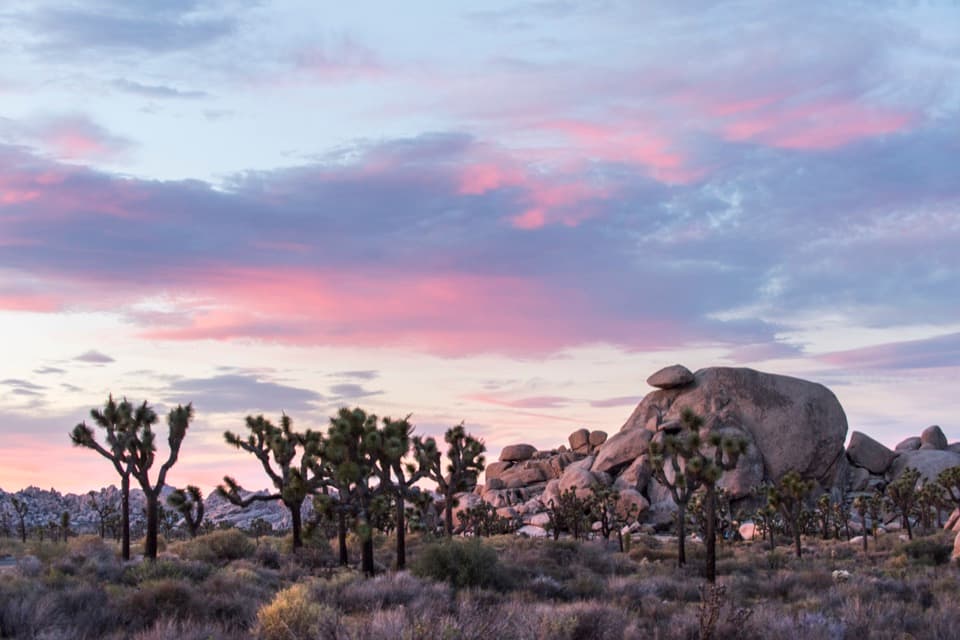 Sight · 4.5 mi awayCap RockA short boulder loop with a cap-shaped rock beside Joshua trees.
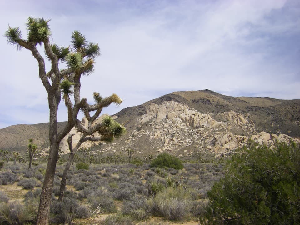 Sight · 5 mi awayOyster BarA roadside rock formation with desert views and climbing access.
 Sight · 5.1 mi awayRyan MountainClimb through ancient banded rock for a 360-degree summit view.
 Sight · 5.5 mi awayHall of HorrorsTwo tight slots tucked into a maze of climbable boulders.
Parkwolf’s Joshua Tree ranking

The audio tour guide for the drive, plus offline maps, trails, and wildlife heatmaps for when the signal drops.





