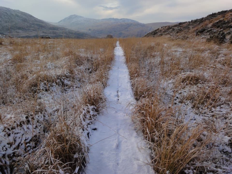
Parking
Start from the parking area beside Kate Kearney’s Cottage at the north entrance. The full walk ends about 11 km away at Lord Brandon’s Cottage; arrange onward travel before setting off.

Killarney National Park, KY
A narrow road strings five glacial lakes through a mountain pass.
Overview
Map & elevation
Plan your hike

The highest, rockiest slopes around here are a summer buffet for grizzly bears.
Killarney Tour Guide
Parkwolf is a GPS audio tour guide for Killarney National Park. As you drive, it chimes in with what’s ahead: hidden gems, upcoming stops, history, geology, and wildlife, right through your car’s speakers.
Recorded for this area
Tomies Wood and O'Sullivan's Cascade“You're approaching Tomies Wood, where a woodland walk leads to O'Sullivan's Cascade.”
Plays on the road 2 km from the trailhead in the Parkwolf Killarney Tour Guide.
More stories near here in the app
“Fantastic app with many points of information… It’s great to just turn on while you’re driving and it gives you an audio tour of the national Park. We love it!!!!”


Trail guide
The Gap of Dunloe Walk is a one-way, roughly 7-mile (11.2 km) crossing from Kate Kearney’s Cottage north to Lord Brandon’s Cottage by the Upper Lake. The road threads between the MacGillycuddy’s Reeks and Purple Mountain, climbs to about 240 m at the Head of the Gap, then drops south into Black Valley. Allow 3–4 hours, plus time for stops. The surface is easier than a mountain trail, but the distance and climb add up. This is a working road shared with walkers, cyclists, jaunting carts and cars; it doesn’t loop back to the start, so settle the return ride before you set off.
From the parking area beside Kate Kearney’s Cottage, you pass the cart loading area and a few houses before the valley closes in. The walk stays on the narrow paved road rather than a separate footpath. Traffic is part of the experience: keep alert at bends and bridges, and expect more activity when walkers and carts are moving through together. The first open views come as the road curves past Coosaun Lough, with steep mountain walls rising on either side.
The Wishing Bridge is a low stone arch over the River Loe between Coosaun Lough and Black Lake. Its name comes with a local wish-making tradition; it’s also the turnaround for a much shorter 2 km return walk from Kate Kearney’s. Past it, the road passes open farm ground and then the rest of the chain: Cushnavally Lake, Auger Lake and Black Lough. The River Loe links the five corrie lakes, held in a valley carved by glacial ice. Boulders around the lakes make the pass feel rough and rocky even though your feet are on pavement.
Auger Lake comes before the steeper climb. The road rises past another small bridge and Black Lough; there’s one more uphill section after the first rise, so don’t assume you’ve reached the top too soon. A split giant boulder called the Turnpike stands like two rough gateposts beside the high part of the pass. At the Head of the Gap, turn both ways: north, the winding road recedes through the lakes; south, it drops into the Black Valley. That curved road is the view to frame in a photo; it gives the mountains their scale.
Beyond the high point, the road descends through the Black Valley past grazing fields, then reaches the southern end of the walk at Lord Brandon’s Cottage. The route enters Killarney National Park on this last stretch; most of the gap itself is west of the park boundary. The cottage is a 19th-century hunting lodge beside the Upper Lake. A boat trip from here across the lakes to Ross Castle is a separate outing, not part of the walk or a direct return to the north entrance.
There is parking by Kate Kearney’s Cottage, with a pub and café at the north end. No dependable food stop along the pass itself was confirmed. For the full crossing, arrange onward travel from Lord Brandon’s Cottage before you begin. The lake boat is a separate service, so check that it fits your onward plans. If a one-way day is too complicated, the Wishing Bridge out-and-back gives you the stone bridge and the first part of the pass without committing to the full route.
Wildlife
 106 sightingsRed DeerMost seen around 7 AMSighting map
 209 sightingsSika DeerMost seen around 7 AMSighting map
 12 sightingsFeral GoatMost seen around 6 PMSighting map
 49 sightingsSwanMost seen around 7 AMSighting map
 48 sightingsHeronMost seen around 5 PMSighting map
 16 sightingsCormorantMost seen around 8 AMSighting map
Sighting maps show where each species has been reported across Killarney. Wildlife moves, so no sighting is guaranteed.
Keep exploring
 ChallengingTomies and Purple Mountain Loop15.6 km · 5.8 hr · At the trailheadA hard circuit over Tomies, Purple Mountain, and the Gap
 ModerateTomies Wood Loop6.5 km · 2.3 hr · 2.1 km awayA wooded loop earns its lake views with one steady climb.
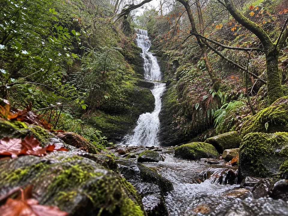 ModerateO’Sullivan’s Cascade Trail3.8 km · 1.3 hr · 2.1 km awayA mossy woodland cascade at the end of a short, stepped walk.
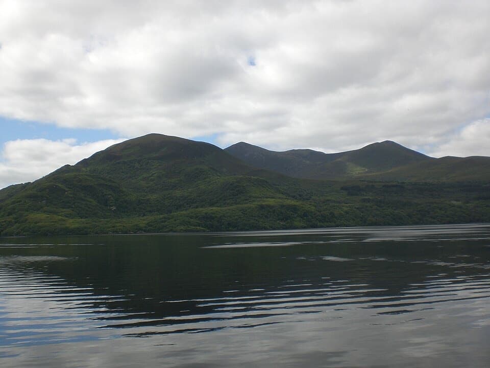 EasyGovernor’s Rock Loop3.1 km · 1 hr · 6.9 km awayOld copper mines and a lake view from a fenced cliff.
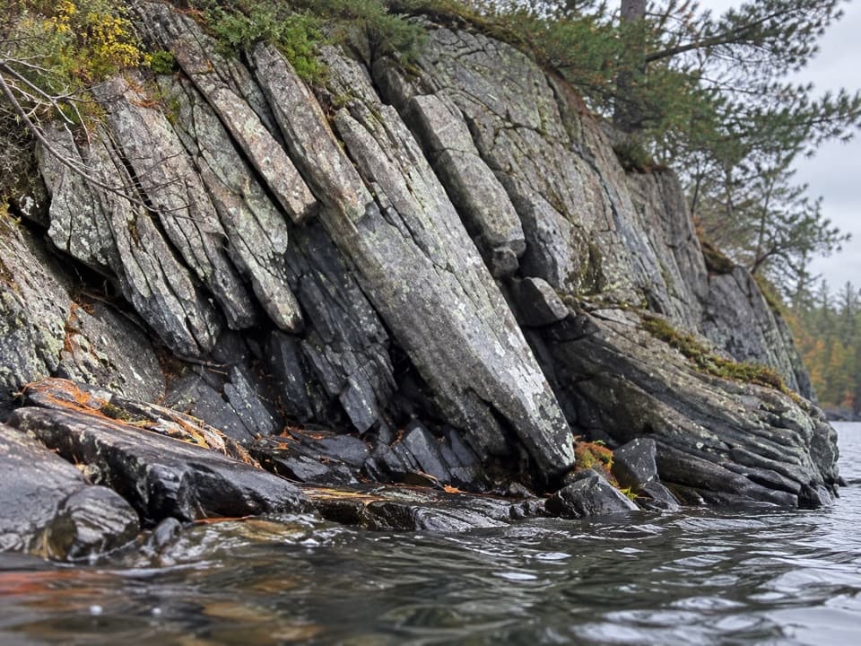 EasyLibrary Point Trail4.8 km · 1.8 hr · 7 km awayA wooded Ross Island walk to a book-like limestone shoreline.
 EasyRoss Island Mining Trail3 km · 1 hr · 7 km awayA gentle woodland loop to Ross Island’s prehistoric copper workings.
 EasyRoss Island Loop5.8 km · 1.8 hr · 7 km awayWoodland tracks, old copper workings, and lake views make an easy circuit.
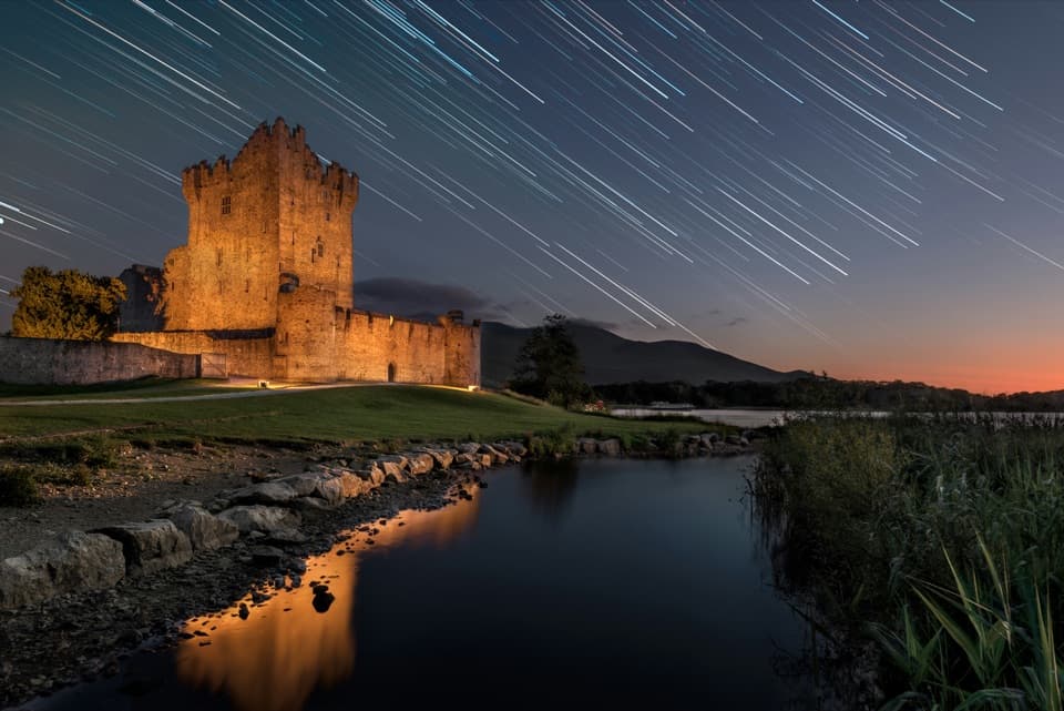 EasyRiver Walk and Ross Castle Loop8 km · 2.5 hr · 7.9 km awayParkland, riverside paths and Ross Castle on a gentle 8 km loop.
 Restaurant · At the trailheadKate Kearney’s CottageA historic pub and cottage at the Gap of Dunloe’s entrance
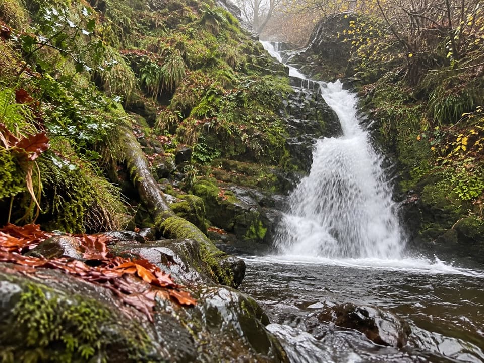 Sight · 3.4 km awayO’Sullivan’s CascadeA woodland waterfall reached by a steep, signed spur.
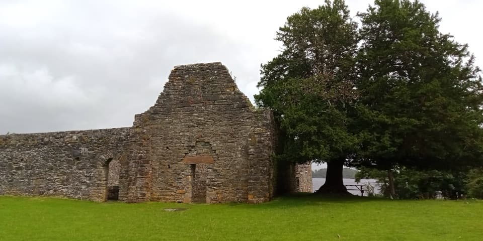 Sight · 5.4 km awayInnisfallen Island and AbbeyA quiet island of medieval ruins, reached across Lough Leane.
 Sight · 5.9 km awayLibrary PointA book-like rock formation at the end of a lakeshore walk.
 Sight · 6 km awayGovernor’s RockLough Leane views and the Copper Mines on an easy island walk.
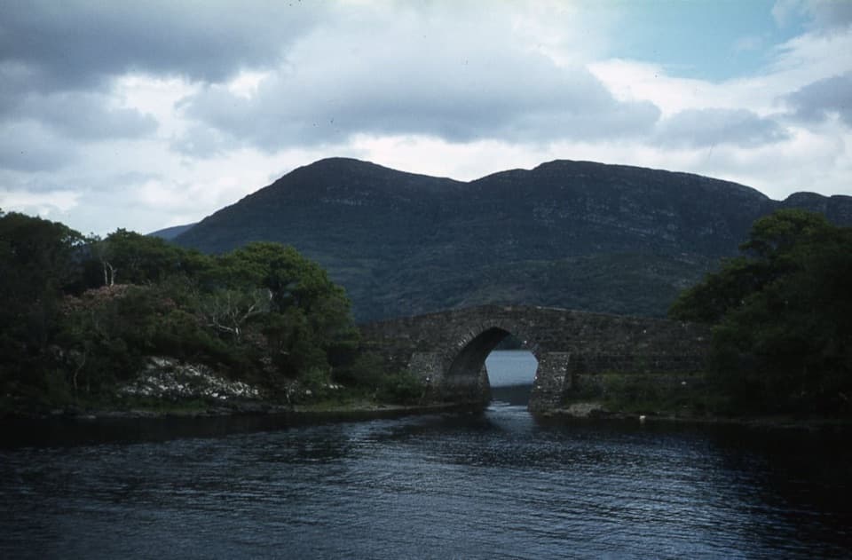 Sight · 6.4 km awayBrickeen BridgeA single stone arch between Muckross Peninsula and Brickeen Island.
 Sight · 6.5 km awayRoss Island Copper MinesA 3 km lakeshore walk past Bronze Age copper workings.
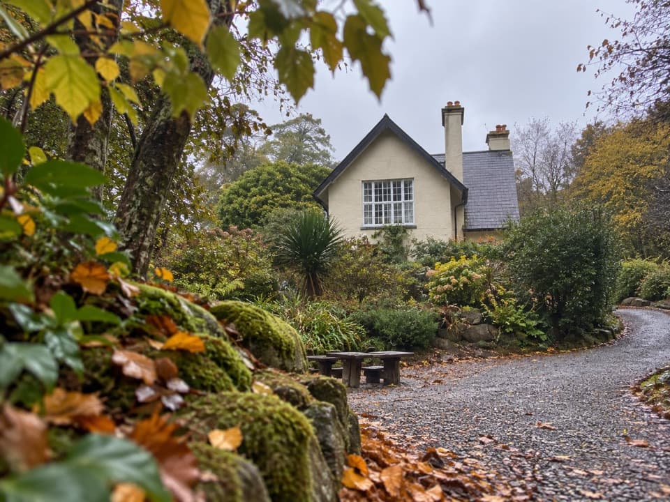 Food · 6.6 km awayDinis CottageA seasonal tea room in a 1700s cottage beside Muckross Lake.
Parkwolf’s Killarney ranking

The audio tour guide for the drive, plus offline maps, trails, and wildlife heatmaps for when the signal drops.