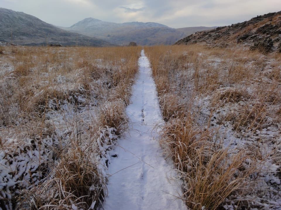
Parking
Start at Tomies Wood car park. It has about 28 spaces and can fill quickly on fine weekends.
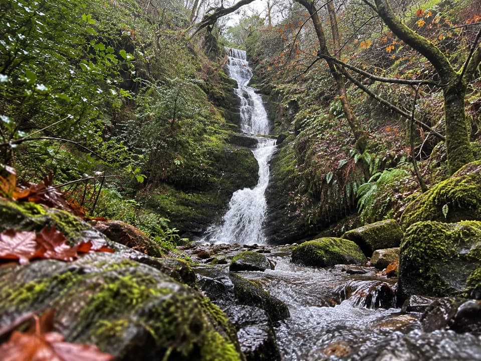
Killarney National Park, KY
A mossy woodland cascade at the end of a short, stepped walk.
Overview
Map & elevation
Plan your hike

The highest, rockiest slopes around here are a summer buffet for grizzly bears.
Killarney Tour Guide
Parkwolf is a GPS audio tour guide for Killarney National Park. As you drive, it chimes in with what’s ahead: hidden gems, upcoming stops, history, geology, and wildlife, right through your car’s speakers.
Recorded for this trailhead
Tomies Wood and O'Sullivan's Cascade“You're approaching Tomies Wood, where a woodland walk leads to O'Sullivan's Cascade.”
Plays as you drive up to this trailhead in the Parkwolf Killarney Tour Guide.
More stories near here in the app
“Fantastic app with many points of information… It’s great to just turn on while you’re driving and it gives you an audio tour of the national Park. We love it!!!!”


Trail guide
O’Sullivan’s Cascade Trail is a woodland out-and-back from Tomies Wood car park to a multi-step waterfall. Published estimates range from 3 to 3.8 km round trip; budget for the longer figure and about 1–1.5 hours if you want time at the falls. The upper/right path at the early fork belongs to the separate Tomies Wood loop.
Take the lower/left branch at the first fork. After roughly 1.2 km, turn left again at the cascade sign and follow the spur to the waterfall, then return the same way. Current public access to Tomies Wood could not be confirmed, so check before setting out.
The waterfall spur drops down about 130 steps. They can be slippery after rain, and the short distance understates the effort if steep stairs are hard for you. The lower route stays beneath the trees; the open lake and mountain views belong to the longer upper loop.
The cascade spills over several dark, mossy rock shelves in close woodland. Oak and holly grow among the conifers. It’s a good phone-photo stop: keep the tiers in frame and include some of the leafy path and overhanging branches to show how tucked into the wood the falls are.
Local legend says Fionn MacCumhaill kept a whiskey spring at the cascade, and that O’Sullivan of Tomies was the one man brave enough to challenge him. In the story, the whiskey turned to water after the English invasion. It’s folklore, but it gives the waterfall a memorable tale to go with the walk.
Wildlife
 106 sightingsRed DeerMost seen around 7 AMSighting map
 209 sightingsSika DeerMost seen around 7 AMSighting map
 12 sightingsFeral GoatMost seen around 6 PMSighting map
 49 sightingsSwanMost seen around 7 AMSighting map
 48 sightingsHeronMost seen around 5 PMSighting map
 16 sightingsCormorantMost seen around 8 AMSighting map
Sighting maps show where each species has been reported across Killarney. Wildlife moves, so no sighting is guaranteed.
Keep exploring
 ModerateTomies Wood Loop6.5 km · 2.3 hr · At the trailheadA wooded loop earns its lake views with one steady climb.
 ChallengingTomies and Purple Mountain Loop15.6 km · 5.8 hr · 2 km awayA hard circuit over Tomies, Purple Mountain, and the Gap
 ModerateGap of Dunloe Walk11.2 km · 3.5 hr · 2.1 km awayA narrow road strings five glacial lakes through a mountain pass.
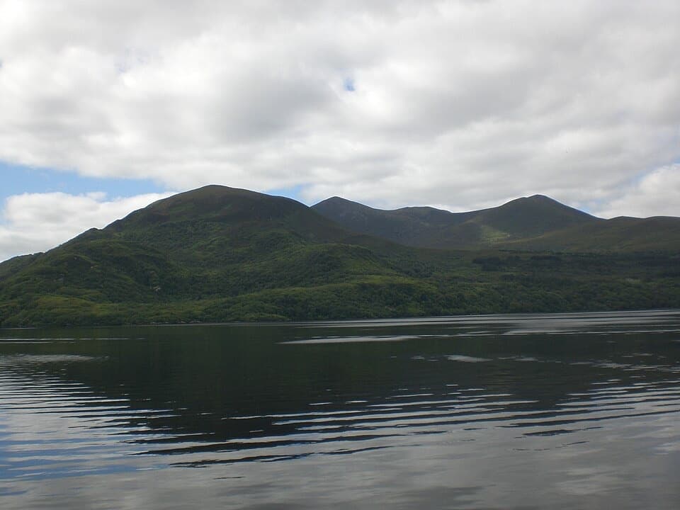 EasyGovernor’s Rock Loop3.1 km · 1 hr · 4.9 km awayOld copper mines and a lake view from a fenced cliff.
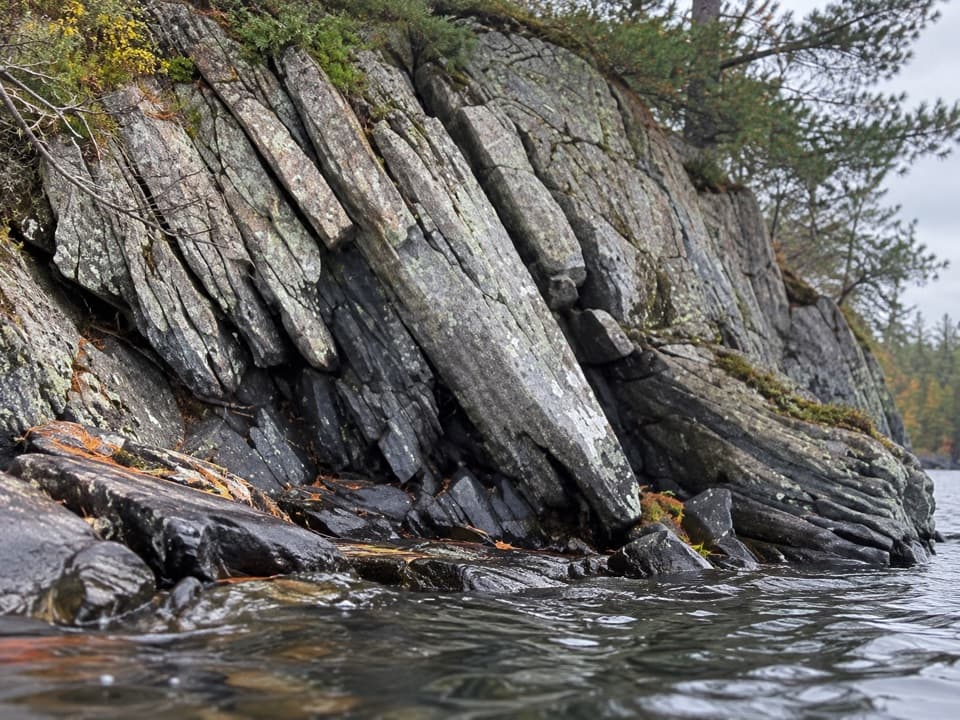 EasyLibrary Point Trail4.8 km · 1.8 hr · 5 km awayA wooded Ross Island walk to a book-like limestone shoreline.
 EasyRoss Island Mining Trail3 km · 1 hr · 5 km awayA gentle woodland loop to Ross Island’s prehistoric copper workings.
 EasyRoss Island Loop5.8 km · 1.8 hr · 5.1 km awayWoodland tracks, old copper workings, and lake views make an easy circuit.
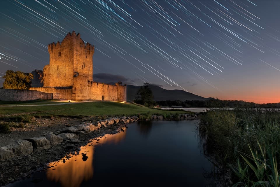 EasyRiver Walk and Ross Castle Loop8 km · 2.5 hr · 5.9 km awayParkland, riverside paths and Ross Castle on a gentle 8 km loop.
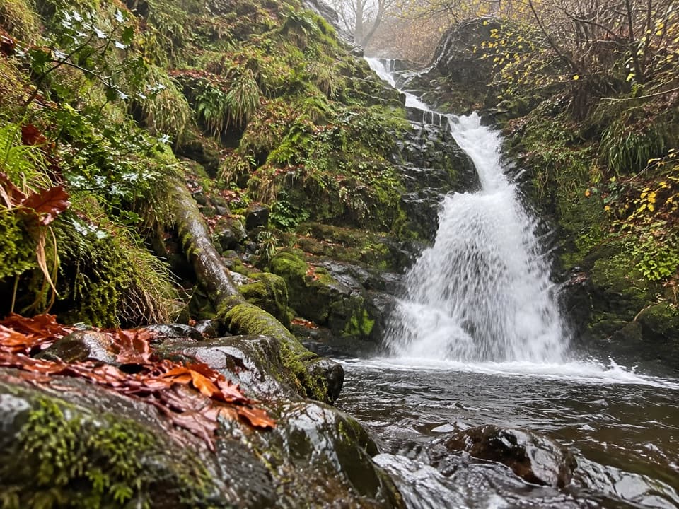 Sight · 1.6 km awayO’Sullivan’s CascadeA woodland waterfall reached by a steep, signed spur.
 Restaurant · 2 km awayKate Kearney’s CottageA historic pub and cottage at the Gap of Dunloe’s entrance
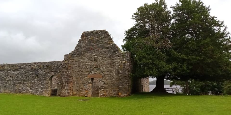 Sight · 3.3 km awayInnisfallen Island and AbbeyA quiet island of medieval ruins, reached across Lough Leane.
 Sight · 3.9 km awayLibrary PointA book-like rock formation at the end of a lakeshore walk.
 Sight · 4.1 km awayGovernor’s RockLough Leane views and the Copper Mines on an easy island walk.
 Sight · 4.6 km awayRoss Island Copper MinesA 3 km lakeshore walk past Bronze Age copper workings.
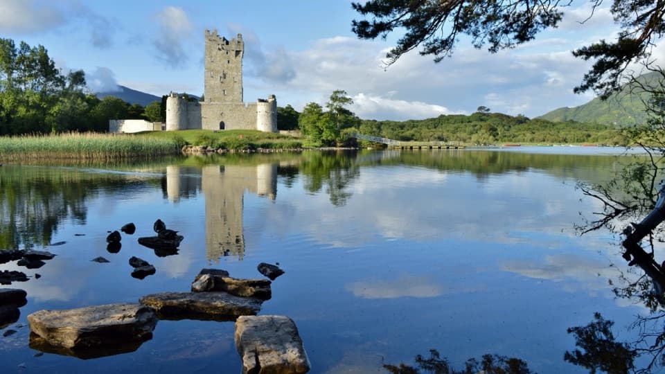 Sight · 4.9 km awayRoss CastleA lakeside castle with a siege story that came by boat.
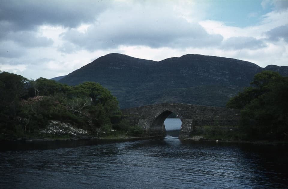 Sight · 5 km awayBrickeen BridgeA single stone arch between Muckross Peninsula and Brickeen Island.
Parkwolf’s Killarney ranking

The audio tour guide for the drive, plus offline maps, trails, and wildlife heatmaps for when the signal drops.