Parking
Use the Grant Grove Visitor Center lot, then cross Highway 180 to the signed trail access. Local area maps and trail guides are available at the visitor-center bookstore.
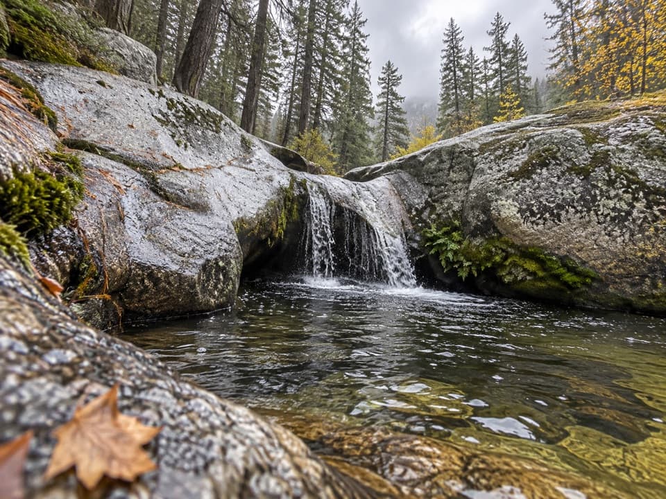
Kings Canyon National Park, CA
A forested descent from Grant Grove ends at a granite cascade.
Overview
Viola Falls Trail is a forested out-and-back from Grant Grove Visitor Center to a small creekside cascade, about 3.9 miles round trip. Cross Highway 180 and follow South Boundary Trail to Sunset Trail, then take the signed falls spur. Allow about 2½ hours; stay longer if you want time at the water. It is a good half-day walk when a waterfall sounds better than a longer drive into the canyon.
 Parkwolf’s verdictThe waterfall is the payoff
Map & elevation
Plan your hike

The highest, rockiest slopes around here are a summer buffet for grizzly bears.
Kings Canyon Tour Guide
Parkwolf is a GPS audio tour guide for Kings Canyon National Park. As you drive, it chimes in with what’s ahead: hidden gems, upcoming stops, history, geology, and wildlife, right through your car’s speakers.
See the Kings Canyon audio tourRecorded for this trailhead
Grant Grove Village“You're coming into Grant Grove Village, a useful stop for ranger advice, a meal, or supplies.”
Plays as you drive up to this trailhead in the Parkwolf Kings Canyon Tour Guide.
More stories near here in the app
“…The kids and my husband and I all agree that the narration really added to our experience driving through the parks. We learned so much about the history and the flora & fauna.”


Trail guide
The route runs through conifer forest on dirt tread, with pine needles underfoot in many sections. It loses roughly 600–800 feet on the way to the falls, so the same grade becomes the main work on the return. Watch for the Viola Falls sign at the branch; this outing turns back at Viola Falls and is shorter than the nearby Ella-and-Viola circuit.
Viola Falls is a compact cascade spilling over pale granite into a shaded creek pool, not a tall free-fall. The rounded rocks and water make a good close view; frame the drops with the pool and granite in the foreground. A farther lunch or photo spot involves stepping over boulders beside the creek. That hop is optional, and the rocks can be slick.
Wildlife
 227 sightingsBlack BearMost seen around 7 PMSighting map
 385 sightingsMule DeerMost seen around 7 PMSighting map
 188 sightingsMarmotMost seen around 8 AMSighting map
 118 sightingsPikaMost seen around 7 AMSighting map
 14 sightingsGolden TroutMost seen around 7 PMSighting map
 32 sightingsRainbow TroutMost seen around 7 PMSighting map
Sighting maps show where each species has been reported across Kings Canyon. Wildlife moves, so no sighting is guaranteed.
Keep exploring
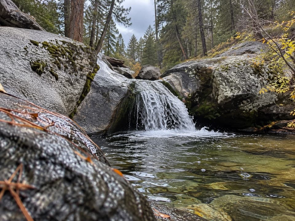 ModerateSunset Trail and Ella Falls Loop6.3 mi · 4 hr · At the trailheadA granite cascade and a screened lake view reward this forest loop.
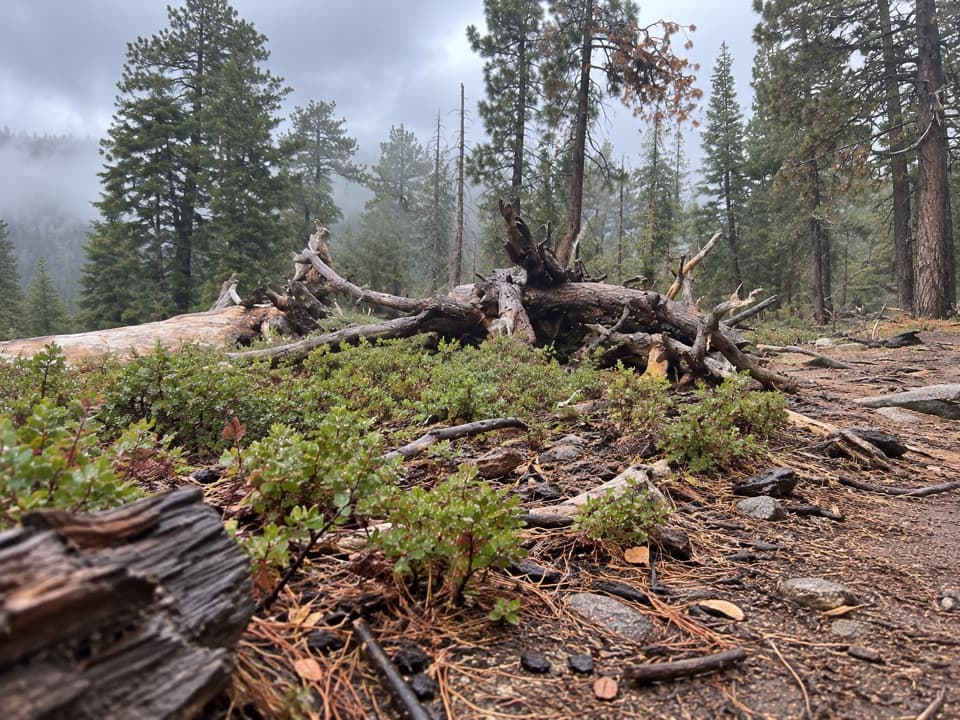 ModerateManzanita and Azalea Trail4.3 mi · 2.5 hr · At the trailheadA forest circuit around Wilsonia opens onto High Sierra views.
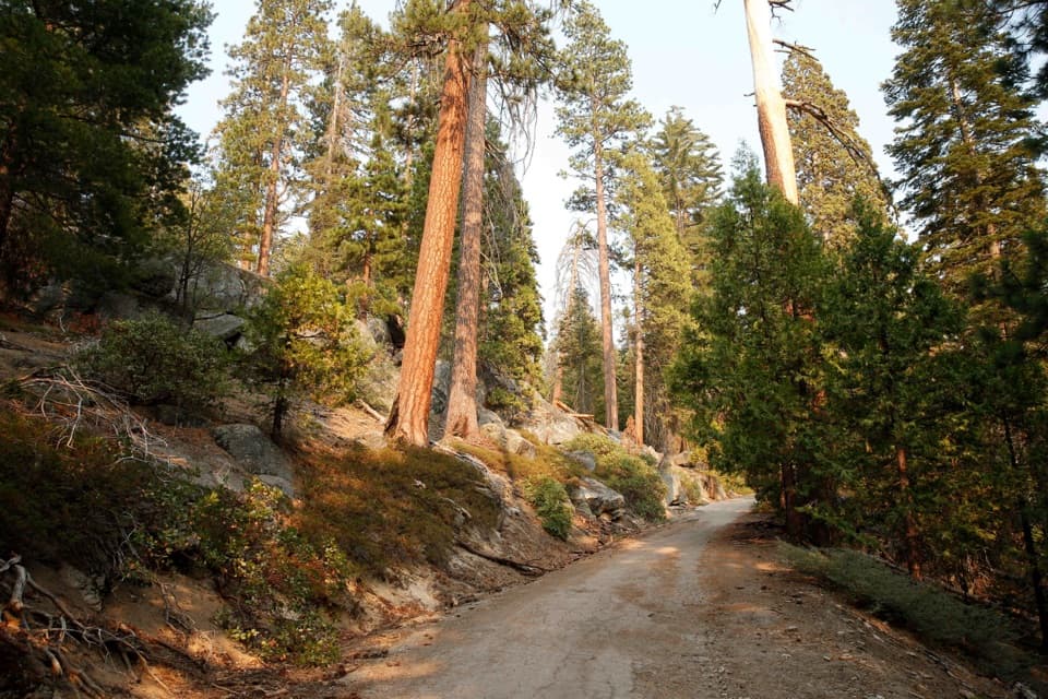 ModerateNorth Grove Loop1.8 mi · 1 hr · 0.8 mi awayA quieter sequoia loop through meadows and creek-side forest.
 EasyNorth Grove and Dead Giant Loops2.8 mi · 1.5 hr · 0.8 mi awayWalk two sequoia loops to a standing dead giant and lake view
 ModerateNorth Boundary–Lone Pine Loop4.5 mi · 2.3 hr · 1.1 mi awayA quieter forest loop with a brief giant sequoia highlight
 EasyPanoramic Point Trail0.5 mi · 24 min · 1.3 mi awayA paved half-mile loop over Hume Lake and the High Sierra.ModeratePark Ridge Trail to Park Ridge Fire Lookout5.2 mi · 3.5 hr · 1.3 mi awayWalk the ridge to a historic fire lookout and wide Sierra views.
 EasyBig Stump Loop Trail1.6 mi · 1 hr · 1.4 mi awayA short loop through logged sequoias to the Mark Twain stump.
 Visitor center · At the trailheadKings Canyon Visitor CenterMaps, ranger advice and sequoia exhibits make this a smart first stop.
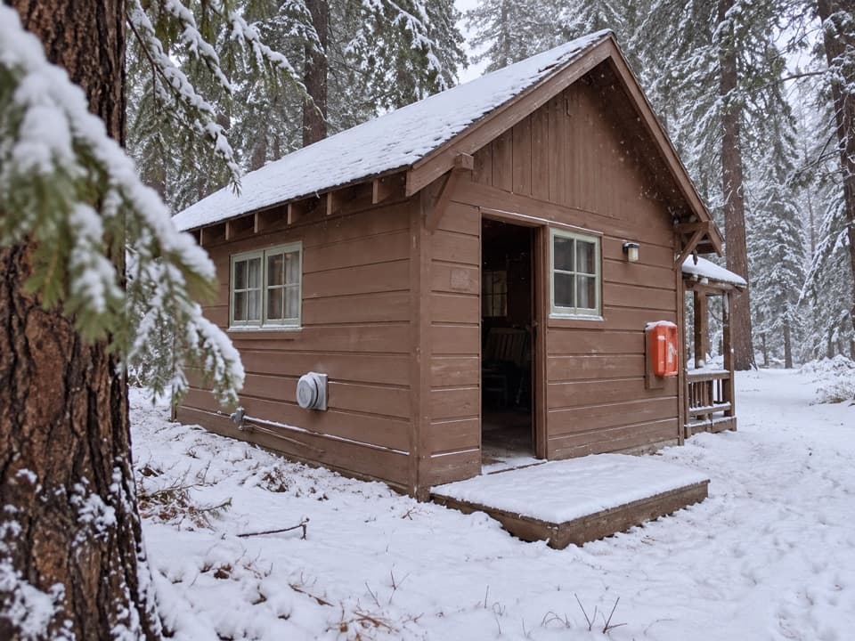 Lodging · At the trailheadGrant Grove CabinsCabin comfort varies, but the sequoias are right nearby.
 Restaurant · At the trailheadGrant Grove RestaurantA meal break in the sequoias, with a meadow-side courtyard.
 Store · 0.1 mi awayGrant Grove Market and Post OfficeA useful top-up for snacks and forgotten camp supplies.
 Sight · 0.1 mi awaySunset AmphitheaterCatch a ranger talk in a small forest amphitheater.
 Lodging · 0.2 mi awayJohn Muir LodgeA 36-room in-park base near General Grant Tree and Grant Grove walks.
 Campground · 0.3 mi awaySunset CampgroundA wooded Grant Grove base, with sunset views from select sites.
 Campground · 0.3 mi awayAzalea CampgroundA wooded base for Grant Grove, with 110 sites at 6,500 feet.
Parkwolf’s Kings Canyon ranking
The audio tour guide for the drive, plus offline maps, trails, and wildlife heatmaps for when the signal drops.



