Park Ridge Trail to Park Ridge Fire Lookout in Kings Canyon National Park

Kings Canyon National Park, CA

Park Ridge Trail to Park Ridge Fire Lookout

Walk the ridge to a historic fire lookout and wide Sierra views.

Photo: Wikimedia Commons
Length
5.2mi
Time
3.5hr
Elev. change
308ft
Difficulty
Moderate
  • No dogs
  • High point 7,733 ft
  • #13 of 77 in Kings Canyon

Hear the audio tour

Panoramic Point

Overview

About Park Ridge Trail to Park Ridge Fire Lookout

Why go

  • Broad views of Hume Lake, Kings Canyon and the High Sierra
  • A working fire lookout makes a memorable destination

Heads up

  • Repeated ridge climbs make the return harder than the mileage suggests
  • No public water or toilet at the lookout

Map & elevation

The route

Loading the Kings Canyon map
Full map
Elevation7,425–7,733 ft
TrailheadPanoramic Point Trailhead / upper parking area36.75374, -118.94642
Keep this map with you offline in the Parkwolf app

Plan your hike

Before you go

Parking

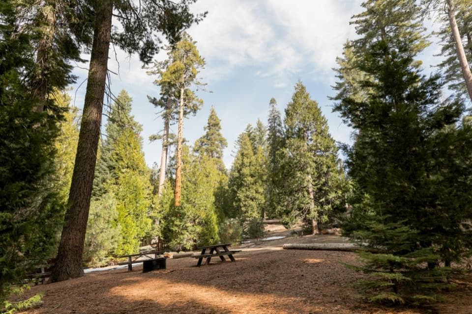
Start at the small upper lot at the end of Panoramic Point Road; this is the upper access for the lookout hike, not Grant Grove Visitor Center. The final road is narrow and winding. In winter, the park’s marked route starts at Grant Grove Village because the upper road is unplowed; that approach is about 10 miles round trip.

Safety

There is no public drinking water or toilet at the lookout. Pets are prohibited on all park trails, including the paved approach. Expect repeated climbs on the ridge. Interior access to the working tower is not guaranteed; confirm it before making that the purpose of your hike.

8 active Kings Canyon alerts

  • ClosureGrant Grove trails and areas closed for prescribed fireMentions Grant Grove, referenced in this guideSome trails and areas around Grant Grove and the General Grant Tree are closed during an active prescribed burn; stay out until crews clear hazards and reopen them.Official details
  • CautionStage 1 fire restrictionsStage 1 fire restrictions are active because high fire danger raises the risk of accidental human-caused fires that could threaten visitors and employees.Official details
See all 8 alerts
A park ranger sits on a dash-mounted phone, talking, as Parkwolf’s Tour Guide plays “Army Cutworm Moths: A Grizzly Bear Buffet” on Grand Loop Road below Dunraven Pass in Yellowstone
Parkwolf Tour GuideThe highest, rockiest slopes around here are a summer buffet for grizzly bears.

Kings Canyon Tour Guide

Your drive to Park Ridge Trail to Park Ridge Fire Lookout, narrated.

Parkwolf is a GPS audio tour guide for Kings Canyon National Park. As you drive, it chimes in with what’s ahead: hidden gems, upcoming stops, history, geology, and wildlife, right through your car’s speakers.

See the Kings Canyon audio tour

Recorded for this trailhead

Panoramic Point
0:00 / 0:33
“Up ahead is Panoramic Point, with Hume Lake below and the High Sierra beyond. On a clear day, this is a good stop for a broad view without a long hike.”

Plays as you drive up to this trailhead in the Parkwolf Kings Canyon Tour Guide.

More stories near here in the app

  • The Bird That Plants Pines
  • North Boundary and Lone Pine Loop
  • General Grant Tree and Grant Grove
  • Grant Grove Village
  • 55 audio storiesacross Kings Canyon’s roads, triggered by GPS as you drive
  • Wildlife heatmapsfor Black Bear, Mule Deer, Marmot, and 13 more
  • Works offlinemaps, 77 trails, 61 places, and audio download before you lose signal
  • CarPlay readysimple controls built for the drive
★★★★★
“…The kids and my husband and I all agree that the narration really added to our experience driving through the parks. We learned so much about the history and the flora & fauna.”
JessestblondeApp Store review
Download Parkwolf on the App StoreGet Parkwolf on Google Play

4.7 from 8,600+ ratings

Trail guide

Hiking Park Ridge Trail to Park Ridge Fire Lookout

The route in one lookThis is a 5.

This is a 5.2-mile out-and-back from the upper Panoramic Point parking area to the Park Ridge Fire Lookout. A short paved climb first reaches the overlook; continue south on the dirt ridge trail to the tower, then return the same way. Allow about 3 to 4 hours. The effort is moderate, with roughly 900 feet of cumulative climbing spread across a series of ups and downs. If the overlook is enough, turn back there; the lookout adds several more miles of forested ridge.

From the overlook to the ridgeThe paved path climbs through red and white firs to Panoramic Point.

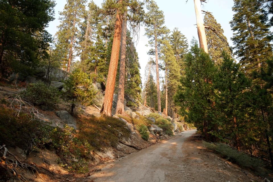
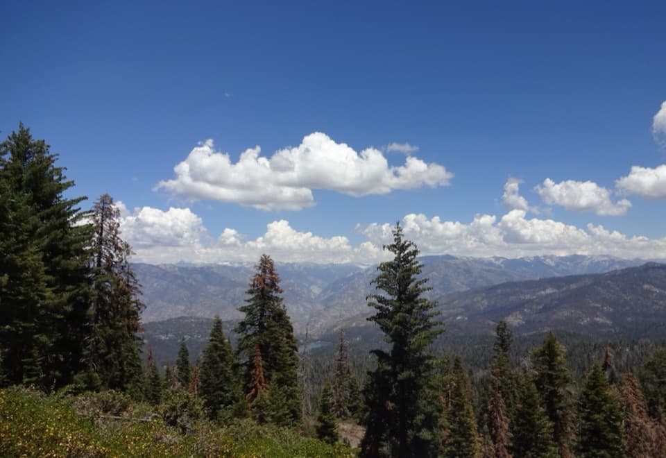
The paved path climbs through red and white firs to Panoramic Point. Its broad view takes in Hume Lake, the Middle and South Forks of Kings Canyon, and the distant High Sierra. For a photo with depth, keep a granite boulder or the pines in the foreground with the lake beyond. After the overlook, pavement gives way to dirt singletrack along the rolling ridge. A steep switchback reaches the route’s high point at about 1.1 miles, followed by another east-facing opening.

Following Park RidgeThe trail dips onto the ridge’s western side, where openings look toward Grant Grove and, on…

The trail dips onto the ridge’s western side, where openings look toward Grant Grove and, on exceptionally clear days, Fresno. At the first fire-road junction, follow the short connector toward the Azalea and Manzanita sign, then turn left onto the Park Ridge singletrack. The path continues south for about 0.8 mile before ending at another fire-road junction; turn right and walk roughly 250 yards to the metal lookout. The return retraces the same rolling ridge, so save energy for the repeated climbs.

A lookout with a long historyThe fire lookout was established in 1916 to help spot and locate fires with nearby towers.

The fire lookout was established in 1916 to help spot and locate fires with nearby towers. Its original wooden structure was replaced in 1964 by the current 20-foot steel tower, moved about a quarter mile southwest. Volunteer fire watchers still staff it during fire season. It is a working lookout, so treat the tower as the endpoint rather than counting on an interior visit; confirm access with staff if going inside matters to you.

Access and rulesUse the small upper lot at the end of Panoramic Point Road; the final approach is narrow and…

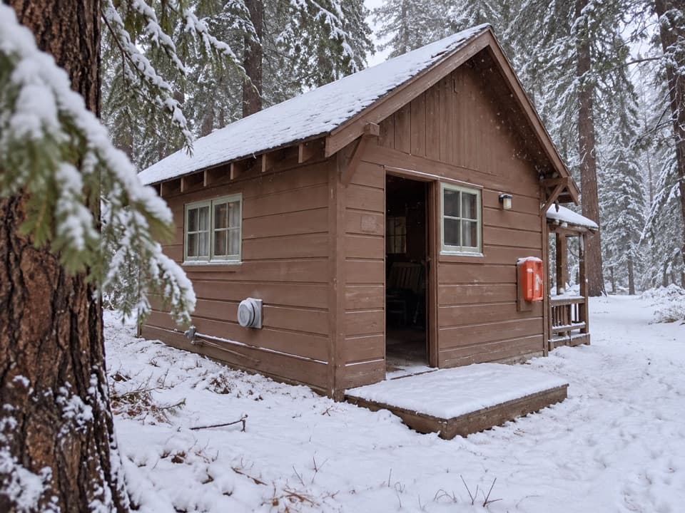
Use the small upper lot at the end of Panoramic Point Road; the final approach is narrow and winding. There is no public drinking water or toilet at the lookout. Pets are prohibited on all park trails, including the paved start. In winter, the park’s marked ski and snowshoe route begins at Grant Grove Village and follows an unplowed road; that separate approach to the lookout is about 10 miles round trip, and snow or ice calls for traction devices.

Wildlife

Wildlife in Kings Canyon

All Kings Canyon wildlife maps

Sighting maps show where each species has been reported across Kings Canyon. Wildlife moves, so no sighting is guaranteed.

Keep exploring

Near Park Ridge Trail to Park Ridge Fire Lookout

See it all on the map

Trails that start nearby

Places near the trailhead

Parkwolf’s Kings Canyon ranking

Top-rated trails in Kings Canyon

All 77 trails
  1. 1Rae Lakes LoopChallenging · 41.4 mi
  2. 2Mist Falls TrailModerate · 8 mi
  3. 3Zumwalt Meadow TrailEasy · 1.5 mi
  4. 4Roaring River Falls TrailEasy · 0.3 mi
  5. 5Panoramic Point TrailEasy · 0.5 mi
  6. 6Big Stump Loop TrailEasy · 1.6 mi

Take Parkwolf to Kings Canyon.

The audio tour guide for the drive, plus offline maps, trails, and wildlife heatmaps for when the signal drops.

4.7 from 8,600+ ratings

Download Parkwolf on the App StoreGet Parkwolf on Google Play