Parking
Use the Kings Canyon Visitor Center parking area in Grant Grove Village. Start east on Upper Loop Road for the Manzanita Trail.
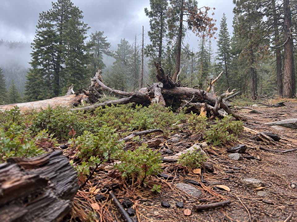
Kings Canyon National Park, CA
A forest circuit around Wilsonia opens onto High Sierra views.
Overview
Map & elevation
Plan your hike

The highest, rockiest slopes around here are a summer buffet for grizzly bears.
Kings Canyon Tour Guide
Parkwolf is a GPS audio tour guide for Kings Canyon National Park. As you drive, it chimes in with what’s ahead: hidden gems, upcoming stops, history, geology, and wildlife, right through your car’s speakers.
See the Kings Canyon audio tourRecorded for this trailhead
Grant Grove Village“You're coming into Grant Grove Village, a useful stop for ranger advice, a meal, or supplies.”
Plays as you drive up to this trailhead in the Parkwolf Kings Canyon Tour Guide.
More stories near here in the app
“…The kids and my husband and I all agree that the narration really added to our experience driving through the parks. We learned so much about the history and the flora & fauna.”


Trail guide
Manzanita and Azalea Trail is a 4.3-mile loop around Wilsonia, the community at Grant Grove. It starts at Kings Canyon Visitor Center, follows Upper Loop Road to Manzanita Trail, then links Azalea and South Boundary trails before crossing the Kings Canyon Scenic Byway back to the visitor center. Allow 2–3 hours and expect about 900 feet of climbing. It is a good choice when you want a longer forest walk and Sierra views from the village area.
The Manzanita climb runs through forest, with ferns and wildflowers along the way. Views of the High Sierra open from the higher woodland. When the route’s namesake shrubs flower, manzanita and azalea add a seasonal highlight; bloom timing varies.
Keep to the sequence Manzanita → Azalea → South Boundary. Route signage is described as average, so check the trail names when paths meet. The final return crosses the Scenic Byway to the visitor center. Staying on the marked tread also protects the fragile vegetation described along this circuit.
The visitor center is both start and finish. Water and restrooms are available there; Grant Grove Village’s restaurant and market are separate from the trail. Pets are not allowed on trails in Sequoia and Kings Canyon National Parks.
Wildlife
 227 sightingsBlack BearMost seen around 7 PMSighting map
 385 sightingsMule DeerMost seen around 7 PMSighting map
 188 sightingsMarmotMost seen around 8 AMSighting map
 118 sightingsPikaMost seen around 7 AMSighting map
 14 sightingsGolden TroutMost seen around 7 PMSighting map
 32 sightingsRainbow TroutMost seen around 7 PMSighting map
Sighting maps show where each species has been reported across Kings Canyon. Wildlife moves, so no sighting is guaranteed.
Keep exploring
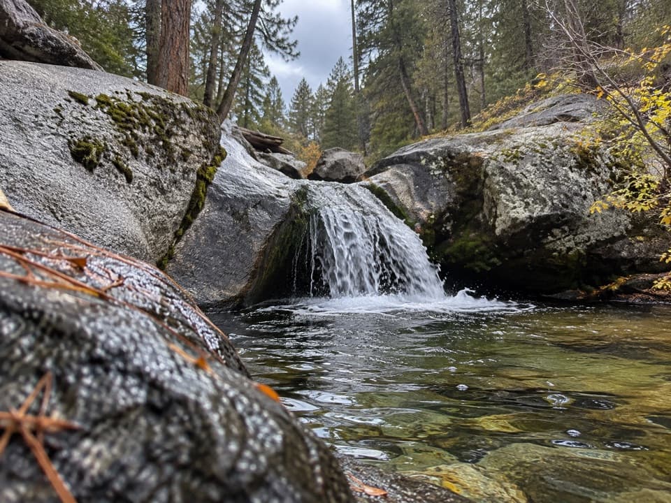 ModerateSunset Trail and Ella Falls Loop6.3 mi · 4 hr · At the trailheadA granite cascade and a screened lake view reward this forest loop.
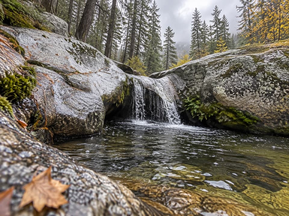 ModerateViola Falls Trail3.9 mi · 2.5 hr · At the trailheadA forested descent from Grant Grove ends at a granite cascade.
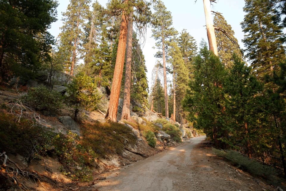 ModerateNorth Grove Loop1.8 mi · 1 hr · 0.8 mi awayA quieter sequoia loop through meadows and creek-side forest.
 EasyNorth Grove and Dead Giant Loops2.8 mi · 1.5 hr · 0.8 mi awayWalk two sequoia loops to a standing dead giant and lake view
 ModerateNorth Boundary–Lone Pine Loop4.5 mi · 2.3 hr · 1.1 mi awayA quieter forest loop with a brief giant sequoia highlight
 EasyPanoramic Point Trail0.5 mi · 24 min · 1.3 mi awayA paved half-mile loop over Hume Lake and the High Sierra.ModeratePark Ridge Trail to Park Ridge Fire Lookout5.2 mi · 3.5 hr · 1.3 mi awayWalk the ridge to a historic fire lookout and wide Sierra views.
 EasyBig Stump Loop Trail1.6 mi · 1 hr · 1.4 mi awayA short loop through logged sequoias to the Mark Twain stump.
 Visitor center · At the trailheadKings Canyon Visitor CenterMaps, ranger advice and sequoia exhibits make this a smart first stop.
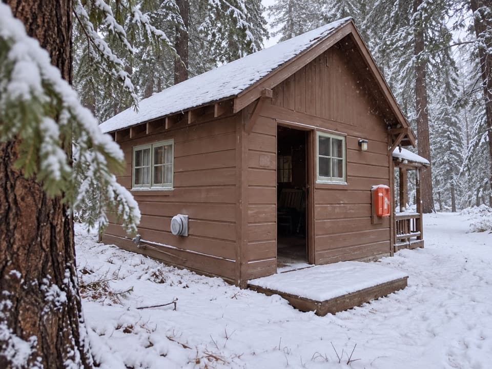 Lodging · At the trailheadGrant Grove CabinsCabin comfort varies, but the sequoias are right nearby.
 Restaurant · At the trailheadGrant Grove RestaurantA meal break in the sequoias, with a meadow-side courtyard.
 Store · 0.1 mi awayGrant Grove Market and Post OfficeA useful top-up for snacks and forgotten camp supplies.
 Sight · 0.1 mi awaySunset AmphitheaterCatch a ranger talk in a small forest amphitheater.
 Lodging · 0.2 mi awayJohn Muir LodgeA 36-room in-park base near General Grant Tree and Grant Grove walks.
 Campground · 0.3 mi awaySunset CampgroundA wooded Grant Grove base, with sunset views from select sites.
 Campground · 0.3 mi awayAzalea CampgroundA wooded base for Grant Grove, with 110 sites at 6,500 feet.
Parkwolf’s Kings Canyon ranking

The audio tour guide for the drive, plus offline maps, trails, and wildlife heatmaps for when the signal drops.



