Parking
Small roadside turnout on Highway 180, about 1.3 miles north of Grant Grove Village, on the right when driving north.

Kings Canyon National Park, CA
A quieter forest loop with a brief giant sequoia highlight
Overview
Map & elevation
Plan your hike

The highest, rockiest slopes around here are a summer buffet for grizzly bears.
Kings Canyon Tour Guide
Parkwolf is a GPS audio tour guide for Kings Canyon National Park. As you drive, it chimes in with what’s ahead: hidden gems, upcoming stops, history, geology, and wildlife, right through your car’s speakers.
See the Kings Canyon audio tourRecorded for this trailhead
North Boundary and Lone Pine Loop“You're approaching North Boundary Trailhead, the start of the North Boundary and Lone Pine loop.”
Plays as you drive up to this trailhead in the Parkwolf Kings Canyon Tour Guide.
More stories near here in the app
“…The kids and my husband and I all agree that the narration really added to our experience driving through the parks. We learned so much about the history and the flora & fauna.”


Trail guide
This 4.5-mile loop starts at a small Highway 180 turnout and connects the North Boundary and Lone Pine trails. Allow about two to two and a half hours; it is a moderate outing with a quieter feel than the busy grove stops. Its standout is a short giant-sequoia stretch above the Grant Tree Trail, not miles of walking through a grove.
The North Boundary side dips through small drainages and crosses Abbott Creek. At about 1.3 miles, stay on the full loop at the Corral junction; the shortcut skips the best sequoia section. The route climbs as it approaches the Grant Tree Trail around 2.2 miles in. The trees above that junction are the main payoff.
Continue on Lone Pine past Grant Grove Stables and along a road toward Highway 180. Near the highway, watch for an easy-to-miss turn onto a service road; cross to the far side and pick up the clearer Lone Pine path toward Crystal Springs Campground. Stay on Lone Pine at the Manzanita connector. Abbott Creek is crossed again before you rejoin North Boundary, about 0.2 mile from the turnout.
The start is a small roadside turnout about 1.3 miles north of Grant Grove Village. Shade is limited on the route, and there are several road crossings, so carry water and pay attention near traffic. Pets are prohibited on park trails; service dogs are permitted.
Wildlife
 227 sightingsBlack BearMost seen around 7 PMSighting map
 385 sightingsMule DeerMost seen around 7 PMSighting map
 188 sightingsMarmotMost seen around 8 AMSighting map
 118 sightingsPikaMost seen around 7 AMSighting map
 14 sightingsGolden TroutMost seen around 7 PMSighting map
 32 sightingsRainbow TroutMost seen around 7 PMSighting map
Sighting maps show where each species has been reported across Kings Canyon. Wildlife moves, so no sighting is guaranteed.
Keep exploring
 EasyPanoramic Point Trail0.5 mi · 24 min · 0.7 mi awayA paved half-mile loop over Hume Lake and the High Sierra.ModeratePark Ridge Trail to Park Ridge Fire Lookout5.2 mi · 3.5 hr · 0.7 mi awayWalk the ridge to a historic fire lookout and wide Sierra views.
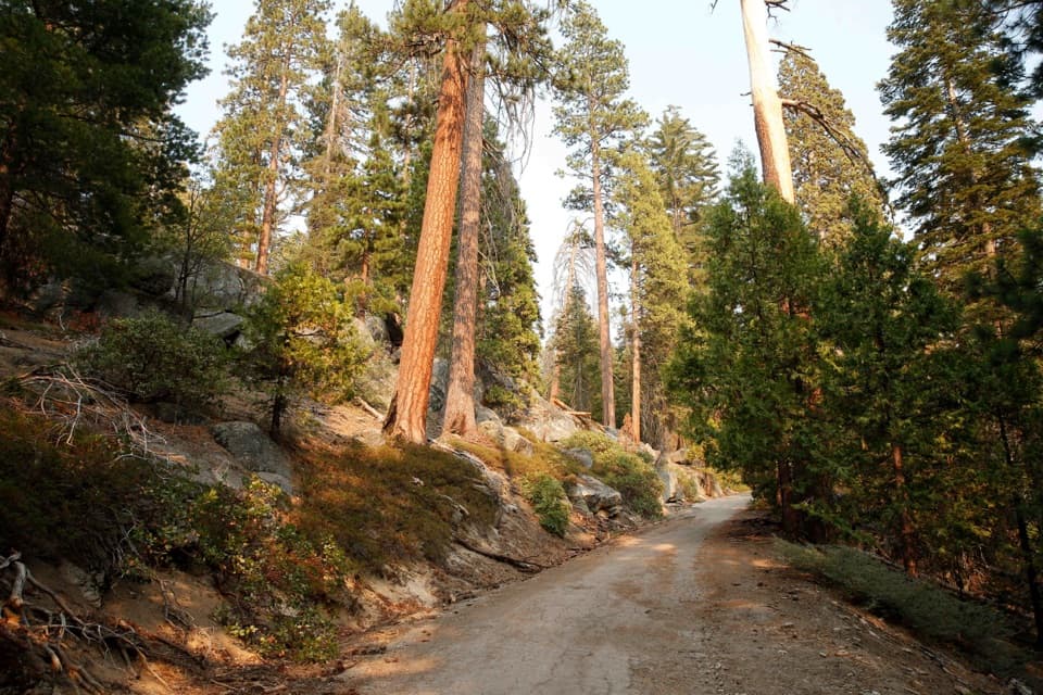 ModerateNorth Grove Loop1.8 mi · 1 hr · 1 mi awayA quieter sequoia loop through meadows and creek-side forest.
 EasyNorth Grove and Dead Giant Loops2.8 mi · 1.5 hr · 1 mi awayWalk two sequoia loops to a standing dead giant and lake view
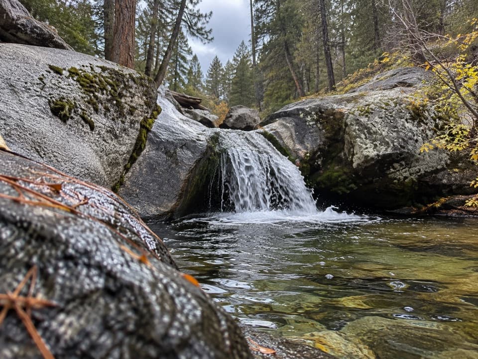 ModerateSunset Trail and Ella Falls Loop6.3 mi · 4 hr · 1.1 mi awayA granite cascade and a screened lake view reward this forest loop.
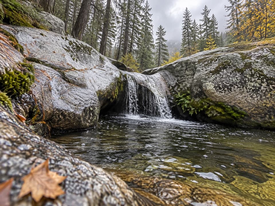 ModerateViola Falls Trail3.9 mi · 2.5 hr · 1.1 mi awayA forested descent from Grant Grove ends at a granite cascade.
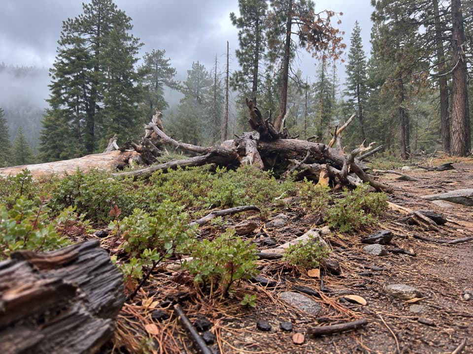 ModerateManzanita and Azalea Trail4.3 mi · 2.5 hr · 1.1 mi awayA forest circuit around Wilsonia opens onto High Sierra views.
 EasyBig Stump Loop Trail1.6 mi · 1 hr · 2.4 mi awayA short loop through logged sequoias to the Mark Twain stump.
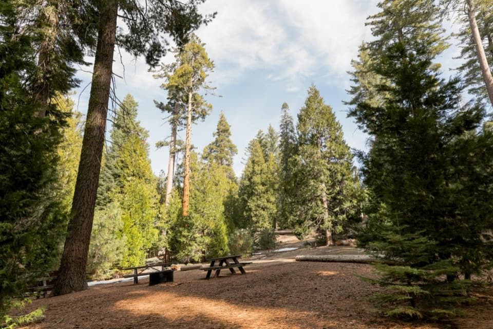 Campground · 0.7 mi awayCrystal Springs CampgroundCamp among conifers with Grant Grove’s sequoia walks nearby.
 Sight · 0.8 mi awayGamlin CabinA 1872 cabin on the paved General Grant Tree loop.
 Sight · 0.8 mi awayGeneral Grant TreeA giant sequoia with its own Christmas Day tradition.
 Sight · 0.8 mi awayGrant Grove StablesSee Grant Grove's giant sequoias from the saddle.
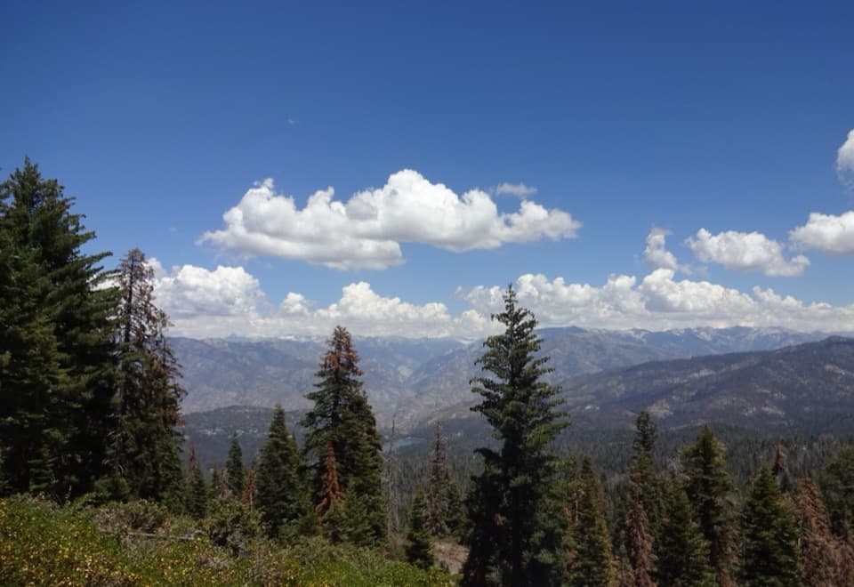 Sight · 0.8 mi awayPanoramic Point OverlookHume Lake and the High Sierra share one sweeping overlook.
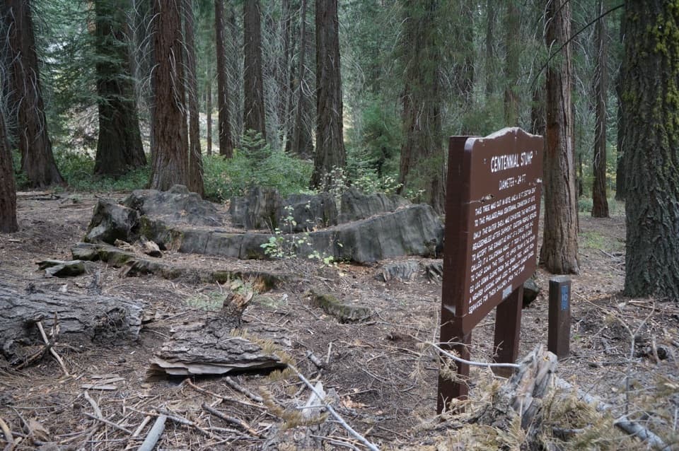 Sight · 0.9 mi awayCentennial StumpA sequoia stump with a Philadelphia story on the General Grant loop.
 Lodging · 0.9 mi awayJohn Muir LodgeA 36-room in-park base near General Grant Tree and Grant Grove walks.
 Sight · 0.9 mi awayFallen MonarchWalk through a hollow sequoia on a short paved loop.
Parkwolf’s Kings Canyon ranking

The audio tour guide for the drive, plus offline maps, trails, and wildlife heatmaps for when the signal drops.



