Parking
The mapped trailhead is a remote junction with no road-side lot. Roads End at the end of CA-180 is the drive-in staging access on the Kings Canyon side; the junction requires a separate backcountry approach.
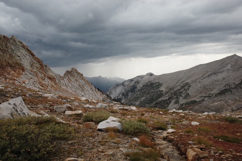
Kings Canyon National Park, CA
A rugged 10.6-mile one-way route from Roaring River to Elizabeth Pass.
Overview
Map & elevation
Plan your hike

The highest, rockiest slopes around here are a summer buffet for grizzly bears.
Kings Canyon Tour Guide
Parkwolf is a GPS audio tour guide for Kings Canyon National Park. As you drive, it chimes in with what’s ahead: hidden gems, upcoming stops, history, geology, and wildlife, right through your car’s speakers.
See the Kings Canyon audio tourMore stories near here in the app
“…The kids and my husband and I all agree that the narration really added to our experience driving through the parks. We learned so much about the history and the flora & fauna.”


Trail guide
This is a 10.6-mile one-way backcountry route from the Sugarloaf Valley junction near Roaring River, up Deadman Canyon to Elizabeth Pass. It climbs about 3,900 feet to a pass at 11,339 feet. Keep it for a serious high-country backpacking trip; the start is remote, so plan it as a leg of a longer route rather than a drive-up day hike.
The mapped start is a wilderness junction, not a parking area. Roads End at the end of CA-180 is the drive-in staging access on this side; reaching the junction adds a separate walk on the park trail network. Decide how you will continue beyond the pass or return before leaving the trailhead. Overnight travel outside designated campgrounds requires a wilderness permit. Pets are prohibited on park trails.
The trail rises from forest into a broad, U-shaped alpine valley with meadows, Deadman Creek, and rock fields. Near a brushy notch, a steep run of steps leads to a shelf with a look back down the canyon. An aspen grove holds the wooden grave marker of herder Alfred Moniere, a striking human detail in an otherwise rugged stretch.
Above the notch, long switchbacks cross pale boulders and chunky gravel; the final pitch is steep. Allow a full day for the mapped segment itself. At Elizabeth Pass, the view opens north toward Monarch Divide and south over the Kaweah drainage toward Castle Rocks. At this elevation, the combination of distance, climb, and loose footing makes a slow pace sensible.
This listing covers the Deadman Canyon approach to Elizabeth Pass only. The roughly 48-mile circuit from near Lodgepole adds Twin Lakes, Silliman Pass, and the High Sierra Trail; it is a separate multi-day itinerary with different route limits.
Wildlife
 227 sightingsBlack BearMost seen around 7 PMSighting map
 385 sightingsMule DeerMost seen around 7 PMSighting map
 188 sightingsMarmotMost seen around 8 AMSighting map
 118 sightingsPikaMost seen around 7 AMSighting map
 14 sightingsGolden TroutMost seen around 7 PMSighting map
 32 sightingsRainbow TroutMost seen around 7 PMSighting map
Sighting maps show where each species has been reported across Kings Canyon. Wildlife moves, so no sighting is guaranteed.
Keep exploring
 ChallengingColby Pass via Cloud Canyon18.9 mi · 16 hr · 0.1 mi awayA remote divide crossing past Whaleback and Colby Lake.
 EasyRoaring River Falls Trail0.3 mi · 18 min · 5.3 mi awayA short paved walk ends at a granite-chute waterfall.EasyKings Canyon River Trail2.8 mi · 1.8 hr · 5.3 mi awayA largely level river walk from Roaring River Falls to Road's End.
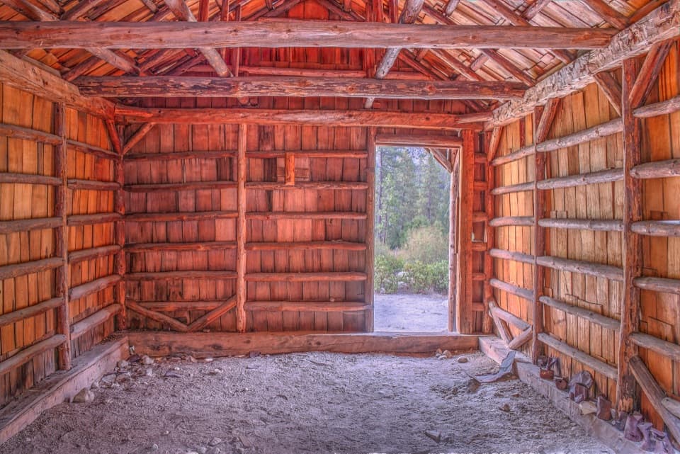 EasyKnapp’s Cabin Trail0.1 mi · 15 min · 5.6 mi awayA tiny cabin stop with a surprisingly big canyon view
 EasyZumwalt Meadow Trail1.5 mi · 1 hr · 5.7 mi awayCross the river for a meadow view framed by granite cliffs.
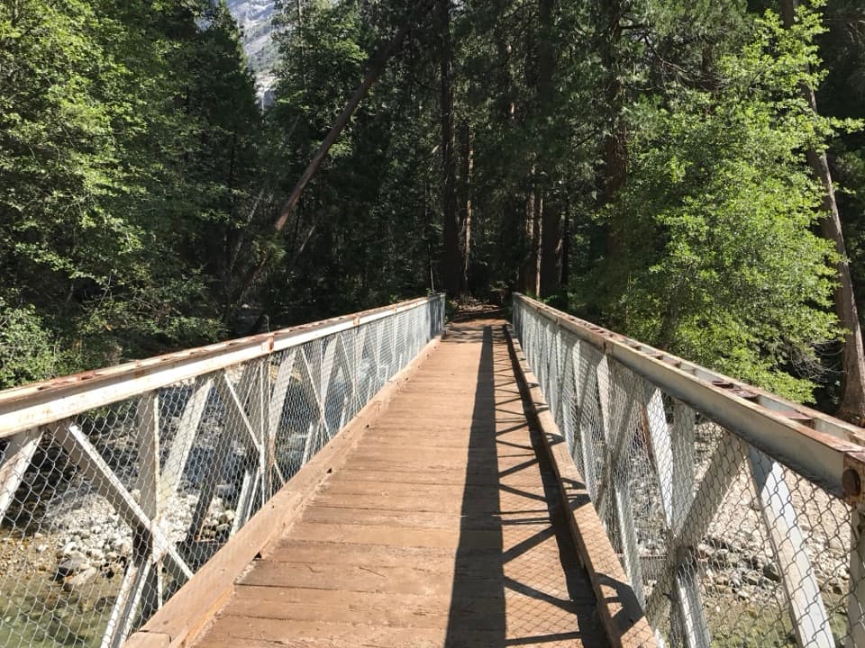 EasyKanawyer Loop Trail5 mi · 2.5 hr · 5.7 mi awayA five-mile river loop with easy grades and a rougher return.
 ChallengingAvalanche Pass Trail to Roaring River30.7 mi · 19 hr · 5.7 mi awayA long, hard route over a forested 10,000-foot pass.
 ModerateMist Falls Trail8 mi · 4.5 hr · 5.7 mi awayRapids, granite canyon walls and a waterfall worth the long walk.Sight · 5.2 mi awayRoaring River FallsA 40-foot waterfall, reached by a short but steep paved path.
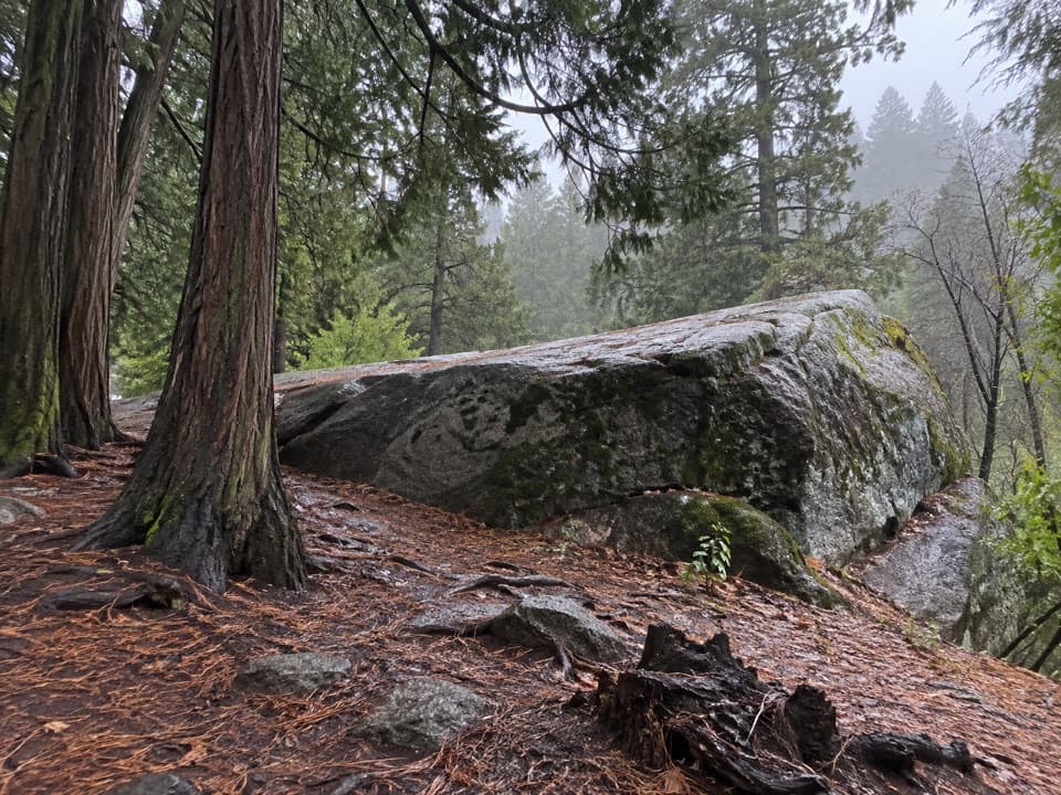 Sight · 5.6 mi awayMuir RockJohn Muir spoke from this boulder about glaciers that shaped the canyon.
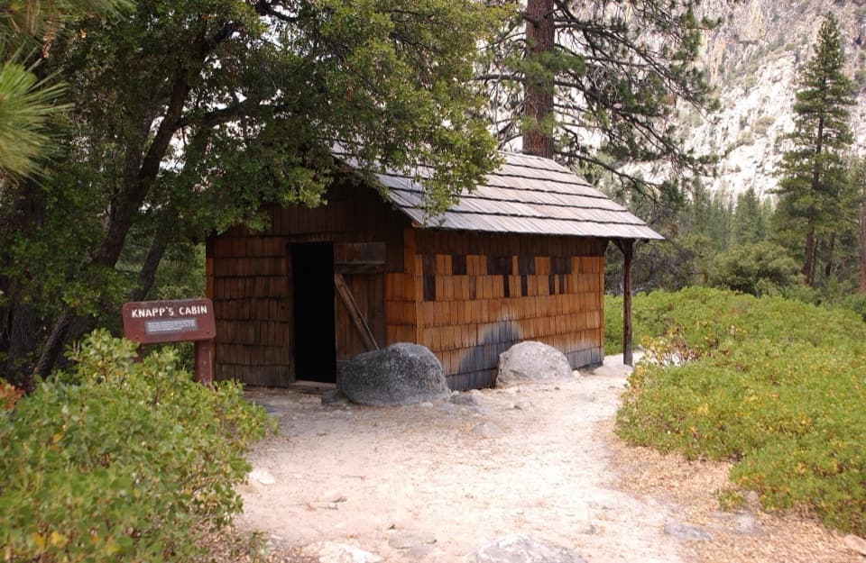 Sight · 5.6 mi awayKnapp's CabinA 1925 fishing cabin with canyon views from a glacial moraine.
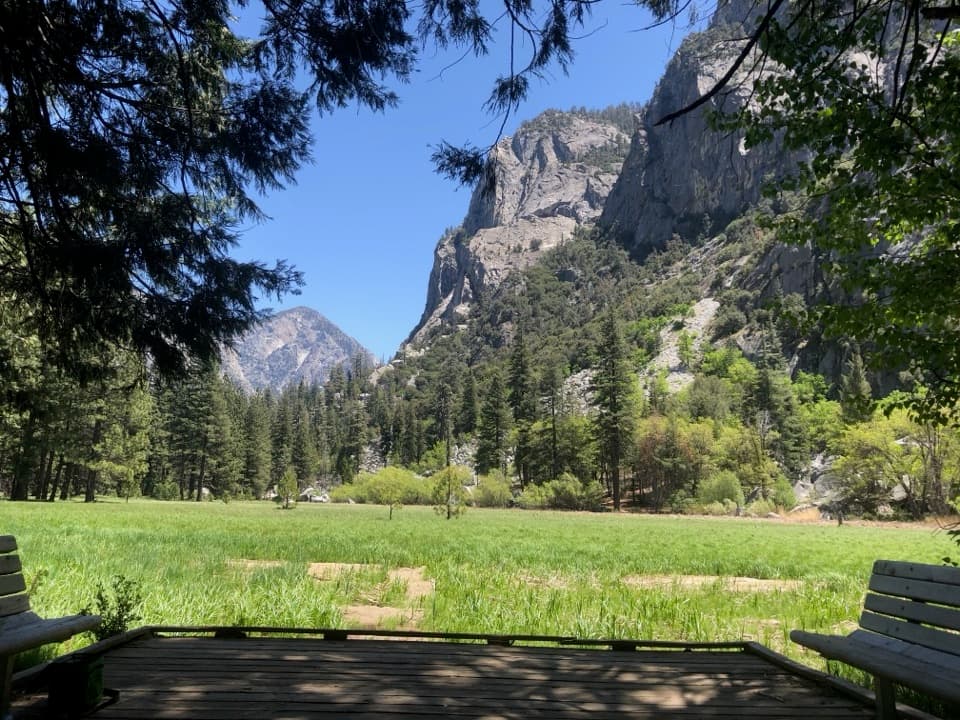 Sight · 5.7 mi awayZumwalt MeadowA short river crossing opens onto a green meadow beneath granite walls.
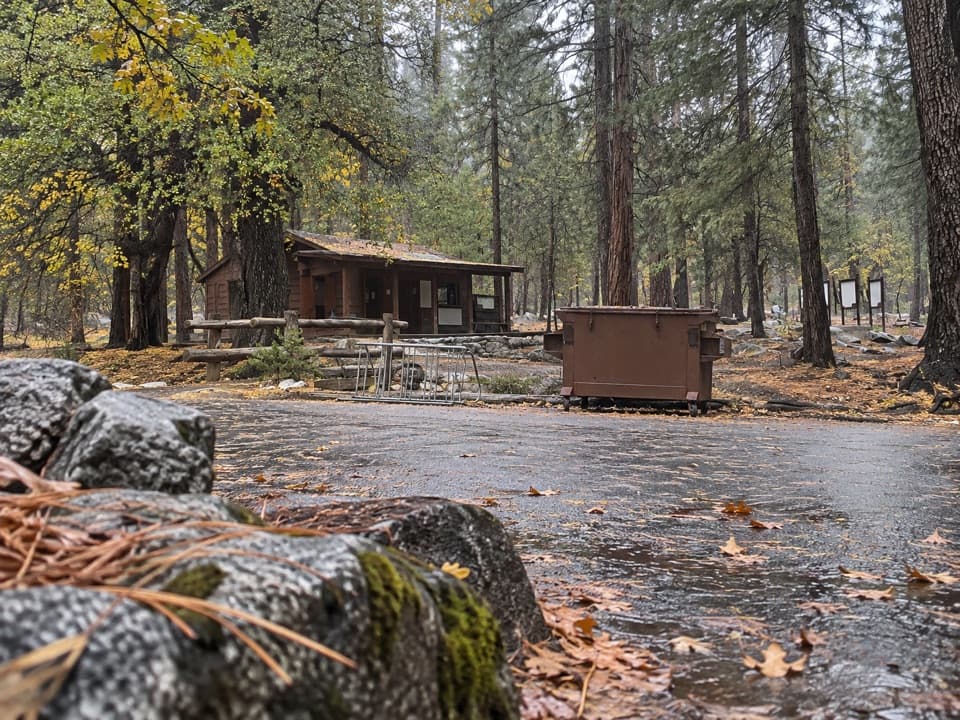 Ranger station · 5.7 mi awayRoad's End Permit StationWilderness permits start here, at the end of Highway 180.
 Campground · 6.5 mi awayMoraine CampgroundA riverfront base for Cedar Grove's hikes.
 Campground · 6.8 mi awayCanyon View Group CampgroundGroup camping beside the South Fork beneath granite canyon walls.
 Sight · 7 mi awayCedar Grove Pack StationHorseback rides follow the river through Cedar Grove.
Parkwolf’s Kings Canyon ranking

The audio tour guide for the drive, plus offline maps, trails, and wildlife heatmaps for when the signal drops.


