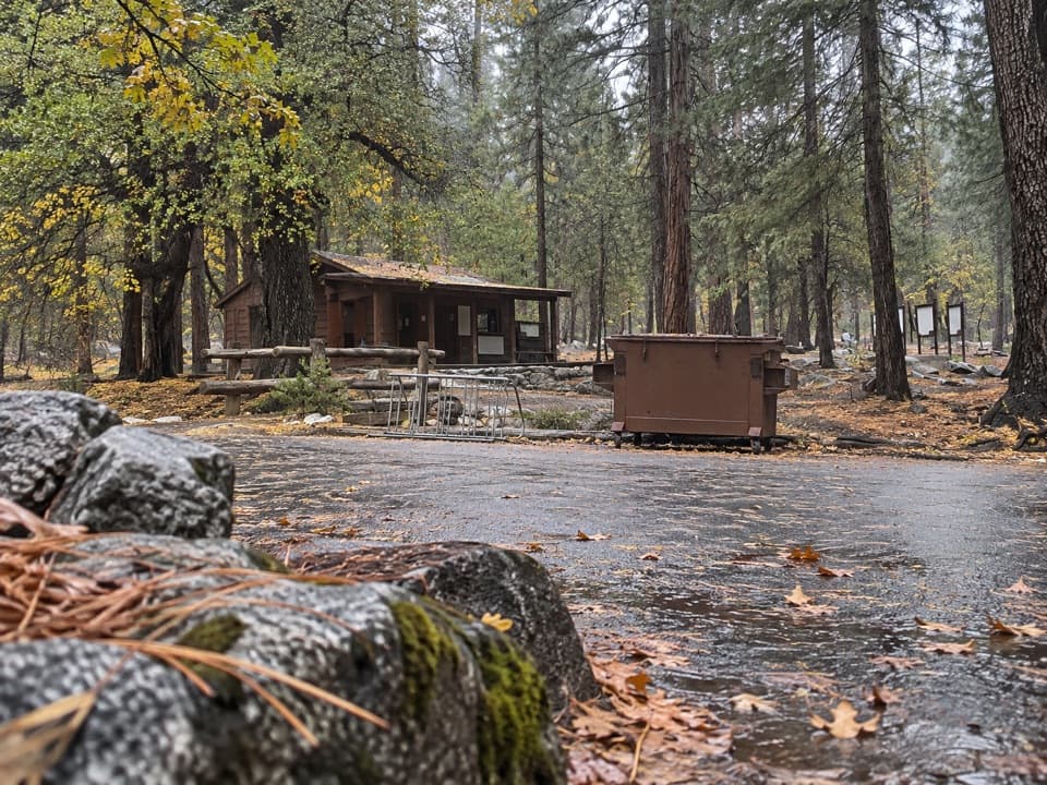
Kings Canyon River Trail in Kings Canyon National Park

Kings Canyon National Park, CA

Kings Canyon River Trail

A largely level river walk from Roaring River Falls to Road's End.

Photo: Wikimedia Commons
Length
2.8mi
Time
1.8hr
Elev. change
207ft
Difficulty
Easy
  • No dogs
  • High point 5,046 ft

Hear the audio tour

Roaring River Falls

Overview

About Kings Canyon River Trail

Why go

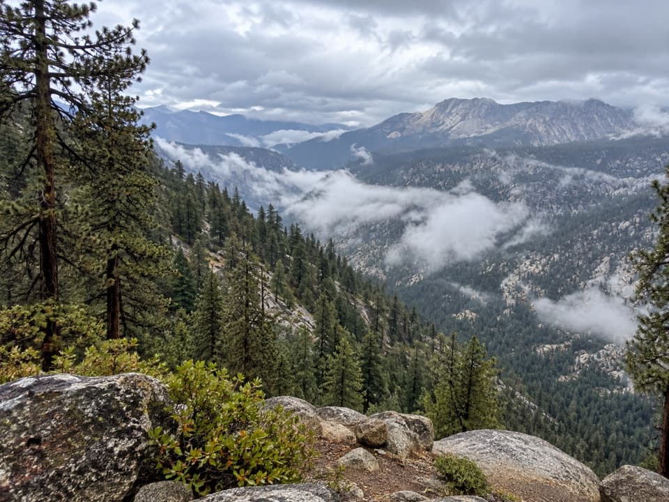
  • A gentle grade links a waterfall, river corridor, granite and meadow.
  • A point-to-point route covers more of Cedar Grove without a steep climb.

Heads up

  • A pickup is needed unless you retrace the 5.6-mile route.
  • Long open stretches have little shade, and the meadow tread can be sandy.

Map & elevation

The route

Loading the Kings Canyon map
Full map
Elevation4,839–5,046 ft
TrailheadRoaring River Falls Trailhead Parking36.78386, -118.62209
Keep this map with you offline in the Parkwolf app

Plan your hike

Before you go

Parking

Start at Roaring River Falls Trailhead parking on Highway 180, about 3 miles east of Cedar Grove Village. Walk the roughly 0.1-mile paved falls access to the River Trail junction. Finish at Road's End trailhead parking; arrange a pickup before you start.

Best time to go

The route starts at Roaring River Falls and finishes at Road's End, so plan the car shuffle before setting out. Pets are not allowed on park trails. Cedar Grove is typically accessible from May into early or mid-November, with dates shifting with weather and conditions.

Safety

Long sections are exposed to sun. The Zumwalt tread is unpaved and can be sandy and not firmly packed. The Kings River is cold and can have swift currents; use the footbridges.

8 active Kings Canyon alerts

  • CautionStage 1 fire restrictionsStage 1 fire restrictions are active because high fire danger raises the risk of accidental human-caused fires that could threaten visitors and employees.Official details
  • ClosureGrant Grove trails and areas closed for prescribed fireSome trails and areas around Grant Grove and the General Grant Tree are closed during an active prescribed burn; stay out until crews clear hazards and reopen them.Official details
See all 8 alerts
A park ranger sits on a dash-mounted phone, talking, as Parkwolf’s Tour Guide plays “Army Cutworm Moths: A Grizzly Bear Buffet” on Grand Loop Road below Dunraven Pass in Yellowstone
Parkwolf Tour GuideThe highest, rockiest slopes around here are a summer buffet for grizzly bears.

Kings Canyon Tour Guide

Your drive to Kings Canyon River Trail, narrated.

Parkwolf is a GPS audio tour guide for Kings Canyon National Park. As you drive, it chimes in with what’s ahead: hidden gems, upcoming stops, history, geology, and wildlife, right through your car’s speakers.

See the Kings Canyon audio tour

Recorded for this trailhead

Roaring River Falls
0:00 / 0:29
“You're coming up on Roaring River Falls, a good choice for a waterfall stop without a long hike. The river squeezes through a narrow granite chute and drops about forty feet into a pool.”

Plays as you drive up to this trailhead in the Parkwolf Kings Canyon Tour Guide.

More stories near here in the app

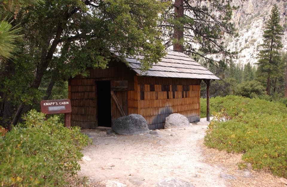
  • Knapp’s Cabin
  • Zumwalt Meadow
  • Cedar Grove's Flat Green Sprays
  • Road's End and Muir Rock
  • 55 audio storiesacross Kings Canyon’s roads, triggered by GPS as you drive
  • Wildlife heatmapsfor Black Bear, Mule Deer, Marmot, and 13 more
  • Works offlinemaps, 77 trails, 61 places, and audio download before you lose signal
  • CarPlay readysimple controls built for the drive
★★★★★
“…The kids and my husband and I all agree that the narration really added to our experience driving through the parks. We learned so much about the history and the flora & fauna.”
JessestblondeApp Store review
Download Parkwolf on the App StoreGet Parkwolf on Google Play

4.7 from 8,600+ ratings

Trail guide

Hiking Kings Canyon River Trail

A one-way river walkKings Canyon River Trail links Roaring River Falls with Road's End in Cedar Grove: 2.

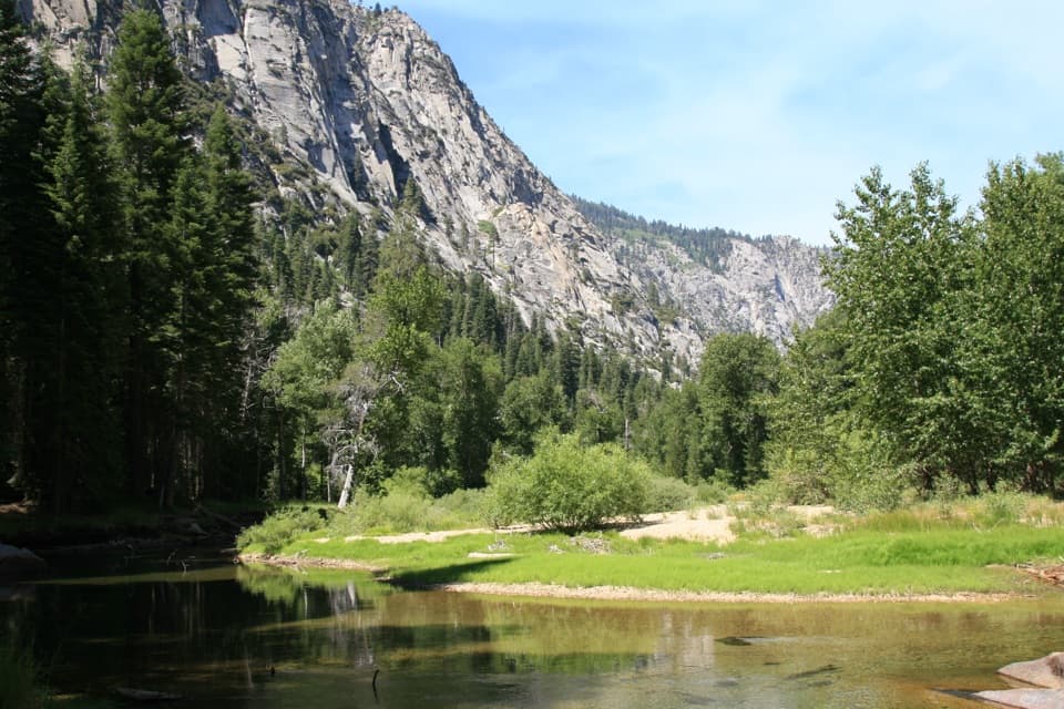
Kings Canyon River Trail links Roaring River Falls with Road's End in Cedar Grove: 2.8 miles one way, along the Kings River and through the Zumwalt Meadow area. It is a point-to-point connector, not a loop. Arrange a pickup at the far end; walking back doubles the hike to about 5.6 miles. The grade is gentle overall, so the distance and sun exposure matter more than climbing.

From the falls to the meadowStart at the Roaring River Falls parking area and walk the paved falls path for about 0.

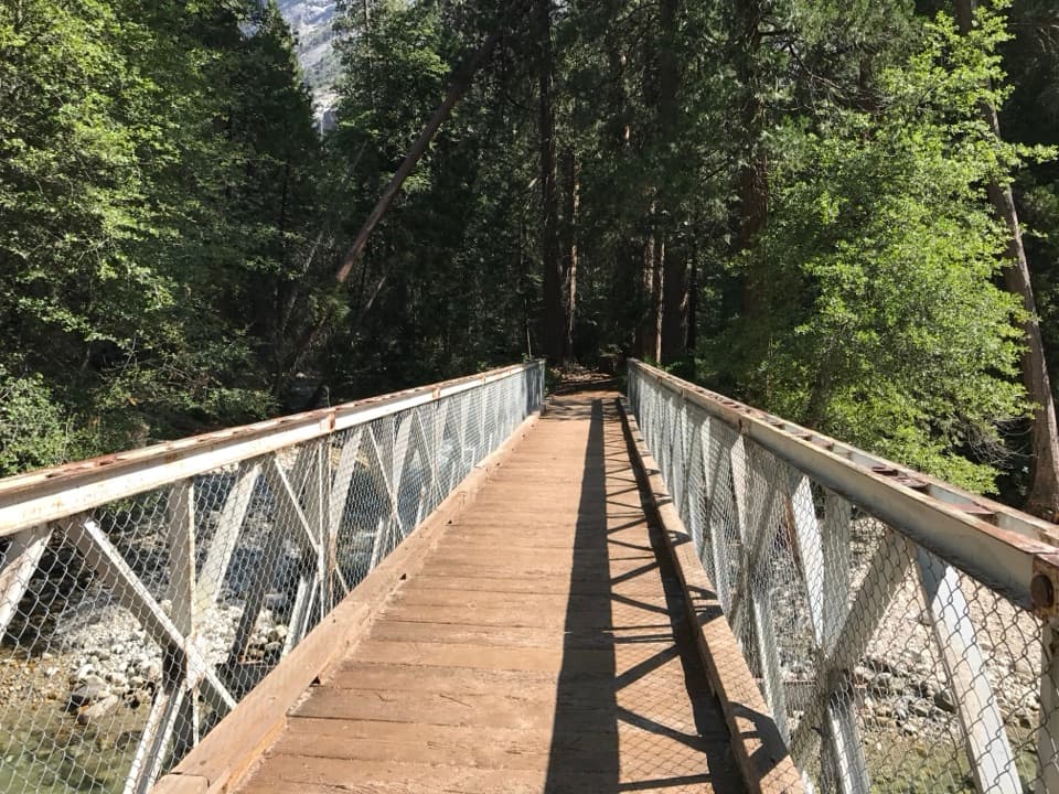
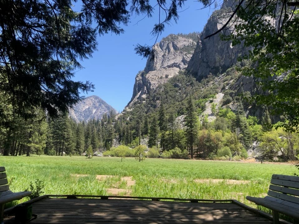
Start at the Roaring River Falls parking area and walk the paved falls path for about 0.1 mile to the River Trail junction. The long western stretch stays low in the canyon and has open, sunny sections beside the river. Near Zumwalt, cross the Kings River on the expansion bridge. The current route continues through woods and talus for views of the meadow; the tread around Zumwalt is unpaved and can be sandy and loose.

The eastern stretchBeyond the meadow, the trail joins the Kanawyer route toward Road's End.

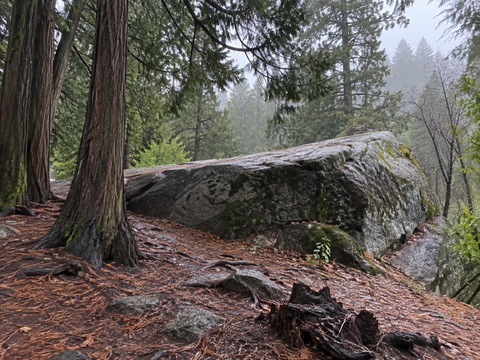
Beyond the meadow, the trail joins the Kanawyer route toward Road's End. Look for the cave-like opening among the large granite boulders before the final bridge crossing into Road's End. Flooding in 2019 damaged sections of the old meadow alignment, so follow the bridge and woodland route rather than expecting a complete loop around the meadow. If you only want a short meadow walk, the current Zumwalt route from its own trailhead is about 0.8 mile.

Wildlife

Wildlife in Kings Canyon

All Kings Canyon wildlife maps

Sighting maps show where each species has been reported across Kings Canyon. Wildlife moves, so no sighting is guaranteed.

Keep exploring

Near Kings Canyon River Trail

See it all on the map

Trails that start nearby

Places near the trailhead

Parkwolf’s Kings Canyon ranking

Top-rated trails in Kings Canyon

All 77 trails
  1. 1Rae Lakes LoopChallenging · 41.4 mi
  2. 2Mist Falls TrailModerate · 8 mi
  3. 3Zumwalt Meadow TrailEasy · 1.5 mi
  4. 4Roaring River Falls TrailEasy · 0.3 mi
  5. 5Panoramic Point TrailEasy · 0.5 mi
  6. 6Big Stump Loop TrailEasy · 1.6 mi

Take Parkwolf to Kings Canyon.

The audio tour guide for the drive, plus offline maps, trails, and wildlife heatmaps for when the signal drops.

4.7 from 8,600+ ratings

Download Parkwolf on the App StoreGet Parkwolf on Google Play