Parking
Start at Redwood Canyon Trailhead at Redwood Saddle. The area is not reachable by vehicle in winter.

Kings Canyon National Park, CA
An 11.3-mile out-and-back from Redwood Saddle to Big Springs.
Overview
Map & elevation
Plan your hike

The highest, rockiest slopes around here are a summer buffet for grizzly bears.
Kings Canyon Tour Guide
Parkwolf is a GPS audio tour guide for Kings Canyon National Park. As you drive, it chimes in with what’s ahead: hidden gems, upcoming stops, history, geology, and wildlife, right through your car’s speakers.
See the Kings Canyon audio tourRecorded for this trailhead
Redwood Canyon at Redwood Saddle“You're nearing Redwood Saddle, the trailhead for Redwood Canyon's sequoia walks.”
Plays as you drive up to this trailhead in the Parkwolf Kings Canyon Tour Guide.
More stories near here in the app
“…The kids and my husband and I all agree that the narration really added to our experience driving through the parks. We learned so much about the history and the flora & fauna.”


Trail guide
This is an 11.3-mile out-and-back from Redwood Canyon Trailhead at Redwood Saddle to Big Springs. Follow the Redwood Canyon Trail down the canyon along Redwood Creek, then continue on the Big Springs spur to the spring and return the same way. The spur itself is about 3.6 miles from its junction; the approach from Redwood Saddle adds roughly 2 miles each way. Allow about 6.5 hours. The route drops roughly 1,400 feet to Big Springs, then climbs back to the saddle.
Redwood Canyon holds one of the largest giant sequoia groves and a broad area of old-growth trees. Fire has shaped the grove for generations; look for young sequoias growing among burned patches. This is a long walk through the canyon forest, not a quick stop at one named tree, and Big Springs is the turnaround.
Start at Redwood Canyon Trailhead at Redwood Saddle. The canyon is not reachable by vehicle in winter, so plan the hike for a season when the access road is open. Pets are prohibited on park trails. An overnight wilderness permit is required if you plan to camp; no day-hike permit requirement was found.
Wildlife
 227 sightingsBlack BearMost seen around 7 PMSighting map
 385 sightingsMule DeerMost seen around 7 PMSighting map
 188 sightingsMarmotMost seen around 8 AMSighting map
 118 sightingsPikaMost seen around 7 AMSighting map
 14 sightingsGolden TroutMost seen around 7 PMSighting map
 32 sightingsRainbow TroutMost seen around 7 PMSighting map
Sighting maps show where each species has been reported across Kings Canyon. Wildlife moves, so no sighting is guaranteed.
Keep exploring
 ModerateHart Tree and Fallen Goliath Loop7.3 mi · 4.5 hr · At the trailheadA 7.3-mile sequoia loop to Hart Tree and Fallen Goliath.
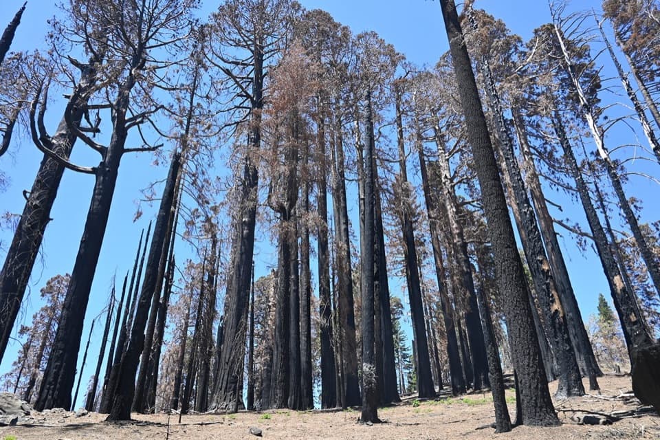 ModerateSugar Bowl Loop6.5 mi · 4 hr · At the trailheadA sequoia loop with a ridge climb and a long descentModerateRedwood Mountain Loop10 mi · 7 hr · At the trailheadTen miles of sequoias, old logging history, and ridge-top views.
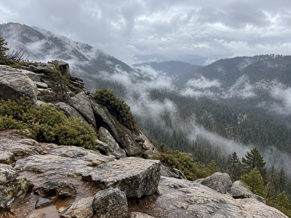 EasyBuena Vista Peak Trail2 mi · 1.5 hr · 1.5 mi awayA short climb to a granite dome above Redwood Canyon.
 ModerateBig Baldy Ridge Trail4.4 mi · 2.5 hr · 2.5 mi awayClimb a forested ridge to granite views over Redwood Canyon.
 EasyBig Stump Loop Trail1.6 mi · 1 hr · 2.9 mi awayA short loop through logged sequoias to the Mark Twain stump.
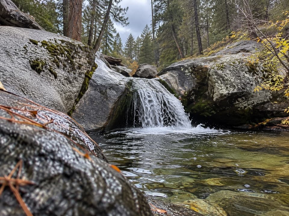 ModerateSunset Trail and Ella Falls Loop6.3 mi · 4 hr · 3.2 mi awayA granite cascade and a screened lake view reward this forest loop.
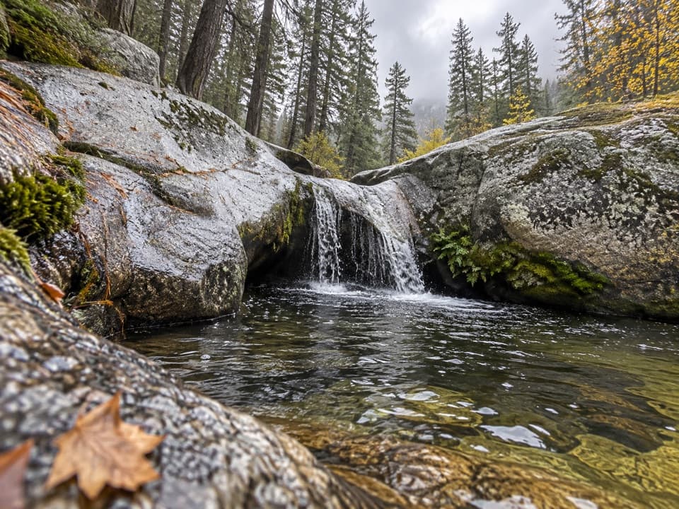 ModerateViola Falls Trail3.9 mi · 2.5 hr · 3.2 mi awayA forested descent from Grant Grove ends at a granite cascade.
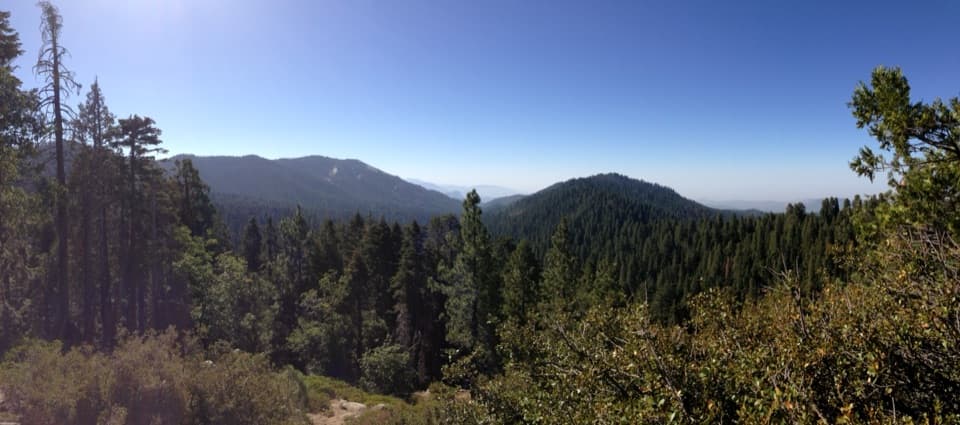 Sight · 0.8 mi awayRedwood Mountain OverlookA quick canopy view into one of the world's largest sequoia groves
 Sight · 1.6 mi awayKings Canyon OverlookA quick roadside view of wooded ridges and distant peaks.
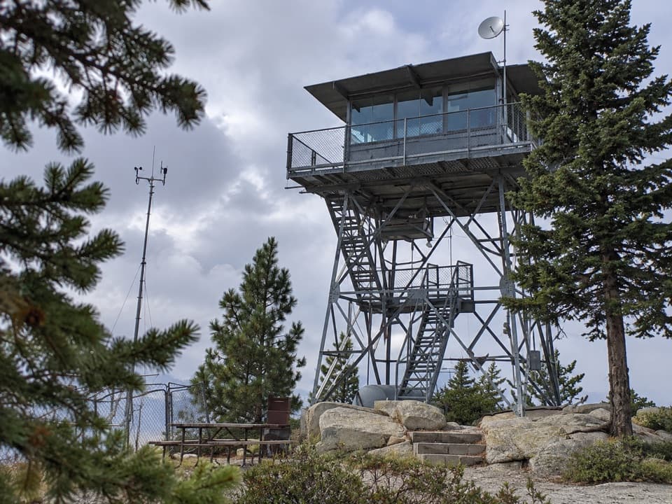 Sight · 1.7 mi awayPark Ridge LookoutA working fire lookout with roots reaching back to 1916.
 Entrance station · 2.5 mi awayBig Stump Entrance StationPay here, pick up maps, and get oriented before the drive.
 Sight · 2.5 mi awayMark Twain StumpAn enormous sequoia stump you can climb, with a sobering backstory.
 Picnic area · 2.9 mi awayBig Stump Picnic Area and Snowplay AreaA practical first stop, with a trailhead and winter snowplay.
 Lodging · 3.2 mi awayJohn Muir LodgeA 36-room in-park base near General Grant Tree and Grant Grove walks.
 Campground · 3.2 mi awaySunset CampgroundA wooded Grant Grove base, with sunset views from select sites.
Parkwolf’s Kings Canyon ranking

The audio tour guide for the drive, plus offline maps, trails, and wildlife heatmaps for when the signal drops.




