Overview
About Tanalian Falls
Why stop
- A Lake Clark view and a lava-backed waterfall make the hike rewarding.
Heads up
- The final descent is steep, with narrow, rocky and sometimes muddy footing.
The trail winds through birch groves and spruce-covered hillsides, opens to a view of Lake Clark, then heads down toward the falls. The final descent to the Lower Falls is steep, and the path can be narrow, rocky and muddy, with planked boardwalk sections.
 Parkwolf’s verdictThe approach is part of the payoff
Map
Where it is

The highest, rockiest slopes around here are a summer buffet for grizzly bears.
Lake Clark Tour Guide
Your drive to Tanalian Falls, narrated.
Parkwolf is a GPS audio tour guide for Lake Clark National Park. As you drive, it chimes in with what’s ahead: hidden gems, upcoming stops, history, geology, and wildlife, right through your car’s speakers.
See the Lake Clark audio tourRecorded for this place
Tanalian Trails and Falls“You're approaching the Tanalian Trails access, where I'd choose the walk to Tanalian Falls. It's roughly four miles round trip and takes about two and a half hours through birch and spruce.”
Plays as you drive up to Tanalian Falls in the Parkwolf Lake Clark Tour Guide.
More stories near here in the app
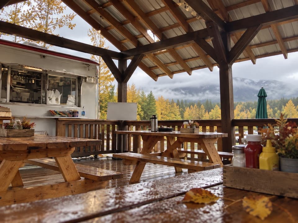
- Cissie's Kitchen
- Port Alsworth Visitor Center and Fish Cache
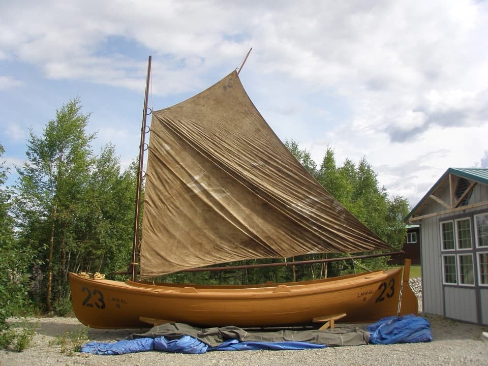
- Libby's Orange Sailboat
- 18 audio storiesacross Lake Clark’s roads, triggered by GPS as you drive
- Wildlife heatmapsfor Brown Bear, Bald Eagle, Common Merganser
- Works offlinemaps, 5 trails, 34 places, and audio download before you lose signal
- CarPlay readysimple controls built for the drive
“Fantastic app with many points of information… It’s great to just turn on while you’re driving and it gives you an audio tour of the national Park. We love it!!!!”


Guide
More about Tanalian Falls
A half-day waterfallTanalian Falls is a named waterfall on the maintained Tanalian Trails out of Port Alsworth.
Tanalian Falls is a named waterfall on the maintained Tanalian Trails out of Port Alsworth. Cold glacial water drops about 30 feet over a cliff of ancient lava. It’s a strong half-day outing if you’re in Port Alsworth and want a proper walk; this isn’t a drive-up stop. The day-hike route is listed at about 4 miles round trip, but park descriptions give different mileage; check the current map and trail conditions at the Port Alsworth visitor center before you set out.
Choose your way upThe Beaver Pond Trail offers a more gradual climb to the falls, and hikes in this trail system…
The Beaver Pond Trail offers a more gradual climb to the falls, and hikes in this trail system can loop back on it. An old beaver pond sits along that route; shorebirds nest there in early summer, and benches overlook the water.
A lava cliff under the cascadeThis is a relatively compact drop, but its setting gives it character: the glacial water runs…
This is a relatively compact drop, but its setting gives it character: the glacial water runs over a roughly 30-foot cliff of ancient lava. For a photo, include some of the dark rock with the white water so the shape of the falls reads clearly.
Fishing at the riverbankThe rocky bank below the Lower Falls is also a fly-fishing destination.
The rocky bank below the Lower Falls is also a fly-fishing destination. Bears use prime fishing spots here, so give them the room the park recommends. Check current Alaska fishing rules before you go after fish.
Keep going to Kontrashibuna LakeThe trail continues beyond the falls toward Kontrashibuna Lake, a longer outing.
The trail continues beyond the falls toward Kontrashibuna Lake, a longer outing. The maintained trail ends at the lake; farther along, the route follows shoreline beaches and game trails, so the falls make a natural turnaround if that’s not the trip you planned.
Wildlife
Wildlife in Lake Clark
 142 sightingsBrown BearMost seen around 8 AMSighting map
 11 sightingsBald EagleMost seen around 6 PMSighting map
 13 sightingsCommon MerganserMost seen around 8 AMSighting map
Sighting maps show where each species has been reported across Lake Clark. Wildlife moves, so no sighting is guaranteed.