Parking
Use Rydal Road Car Park in Ambleside, then walk into town to the route start. It is town-centre parking with toilets. Ambleside is busiest from mid-morning through mid-afternoon, so plan accordingly.
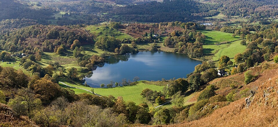
#16 of 265 trails in Lake District
Lake District National Park, EN
Tarn, quarry cave and three-lake views on a compact Ambleside loop
Overview
Map & elevation
Plan your hike

The highest, rockiest slopes around here are a summer buffet for grizzly bears.
Lake District Tour Guide
Parkwolf is a GPS audio tour guide for Lake District National Park. As you drive, it chimes in with what’s ahead: hidden gems, upcoming stops, history, geology, and wildlife, right through your car’s speakers.
Recorded for this trailhead
Ambleside: Fairfield or Loughrigg“Up ahead is Ambleside's Rydal Road parking area, the starting point for the Fairfield Horseshoe and a shorter circuit over Loughrigg Fell.”
Plays as you drive up to this trailhead in the Parkwolf Lake District Tour Guide.
More stories near here in the app
“Fantastic app with many points of information… It’s great to just turn on while you’re driving and it gives you an audio tour of the national Park. We love it!!!!”


Trail guide
A closed loop of 7.7 miles (12.4 km), starting and finishing at Rydal Road Car Park in Ambleside, with roughly 520 m of ascent on the exact stored route. Most walkers take 3 to 4 hours.
From the edge of Ambleside the walk follows Under Loughrigg Road, then climbs through fields to Loughrigg Tarn, a quiet sheet of water tucked below the fell. The pull to the 335 m summit opens out the reward: Rydal Water, Grasmere and Windermere all in view from one modest top. The descent runs along Loughrigg Terrace towards Rydal, with an optional detour to Rydal Cave, before returning through Fieldfoot Wood beside the River Rothay, over Miller Bridge and back into the streets of Ambleside.
Moderate, rated 6 out of 10. Expect rough paths and stony tracks, boggy patches after wet spells, and a steep, rocky section on the descent where hands-may-be-needed care is sensible. Grippy boots make a real difference.
The summit plateau is open fell with little shelter, and the broad top has several path braids. In mist, map and compass skills are genuinely useful, since the ground offers few obvious handrails. Lower sections along the road, terrace and river are straightforward to follow.
Rydal Cave is not natural: it is a man-made slate quarry working, now a cavern with a shallow pool at its mouth. Occasional falling blocks have been reported, so keep clear of the roof line and do not linger under overhangs.
Early morning gives still water at Loughrigg Tarn and softer light over Rydal Water. Late afternoon suits the terrace, when low sun rakes across Grasmere. The summit cairn works well as foreground for the wider lake panorama.
Rydal Road is town-centre parking with toilets nearby. Ambleside is busiest from mid-morning to mid-afternoon, so an early start means quieter streets and quieter paths. The route uses public footpaths and bridleways, where dogs are welcome; keep them close or on a short lead around livestock and horses.
Wildlife
 81 sightingsRed DeerMost seen around 7 PMSighting map
 13 sightingsEurasian OtterMost seen around 6 AMSighting map
 76 sightingsOspreyMost seen around 8 AMSighting map
 51 sightingsEuropean BadgerMost seen around 8 PMSighting map
 233 sightingsMute SwanMost seen around 6 PMSighting map
 176 sightingsGrey HeronMost seen around 7 AMSighting map
Sighting maps show where each species has been reported across Lake District. Wildlife moves, so no sighting is guaranteed.
Keep exploring
 ChallengingThe Fairfield Horseshoe17.2 km · 7 hr · At the trailheadEight Wainwright tops in one long, exposed ridge loop above Ambleside
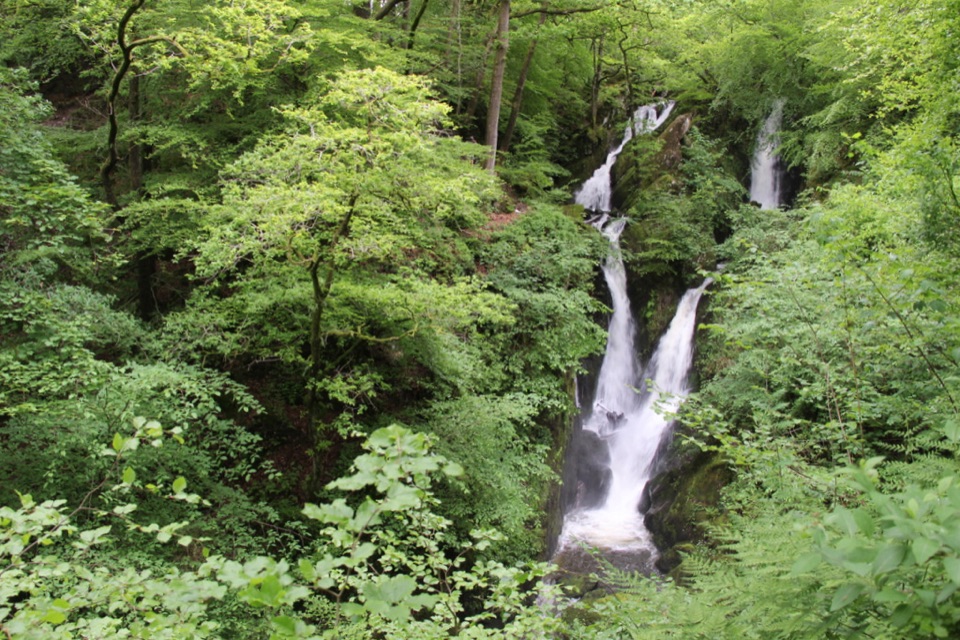 EasyStock Ghyll Force Waterfall Walk1.8 km · 45 min · 0.2 km awayA short wooded climb from Ambleside to a 70-foot gorge waterfall
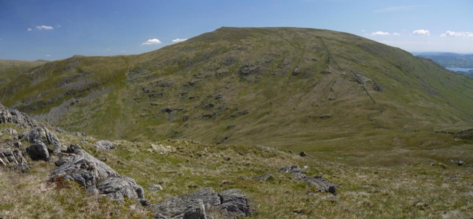 ChallengingRed Screes and Middle Dodd from Ambleside14.2 km · 5 hr · 0.2 km awayA tough two-top circuit with red scree, bog and a summit tarn
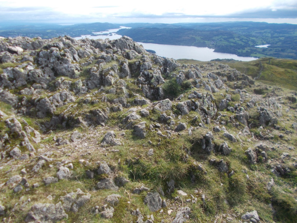 ModerateAmbleside to Troutbeck Walk10.7 km · 4.5 hr · 0.2 km awayClimb pitched steps to a Windermere panorama, then loop through Troutbeck
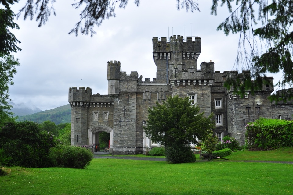 ModerateClappersgate to Wray Castle8.2 km · 2.8 hr · 1.5 km awayA gentle lakeside walk through woodland to a mock-Gothic castle.
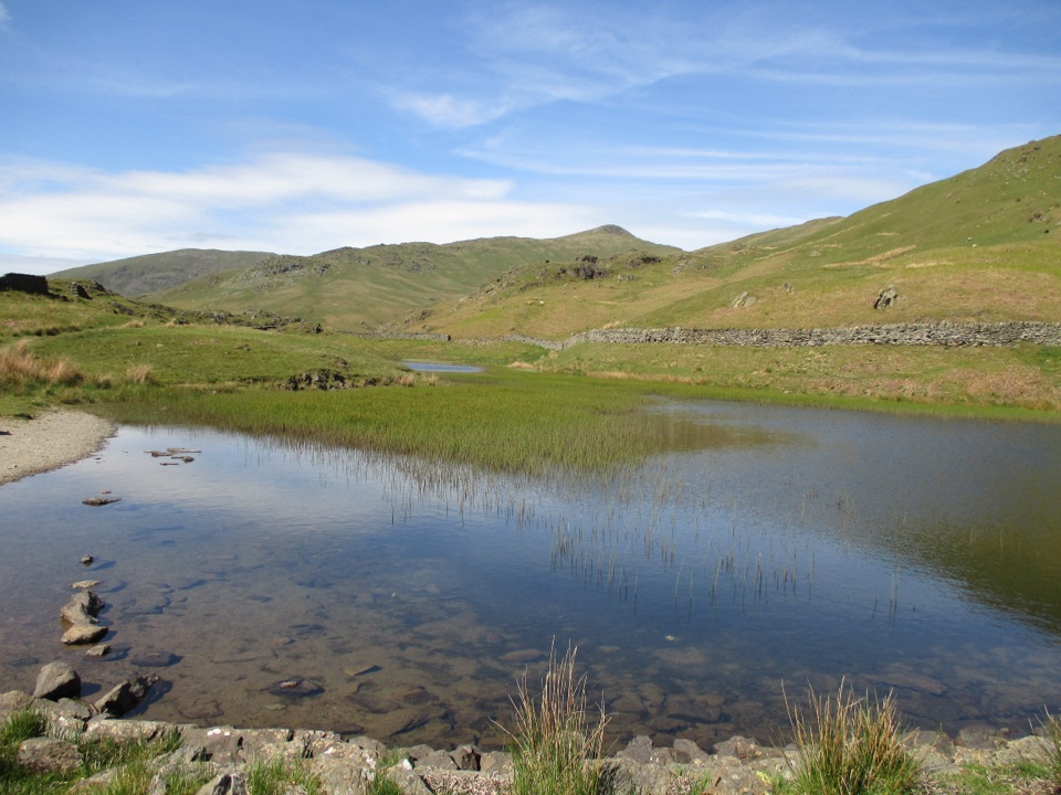 ModerateNab Scar and Alcock Tarn6.6 km · 3.3 hr · 1.9 km awayA steep fell loop pairing Nab Scar views with a quiet tarn
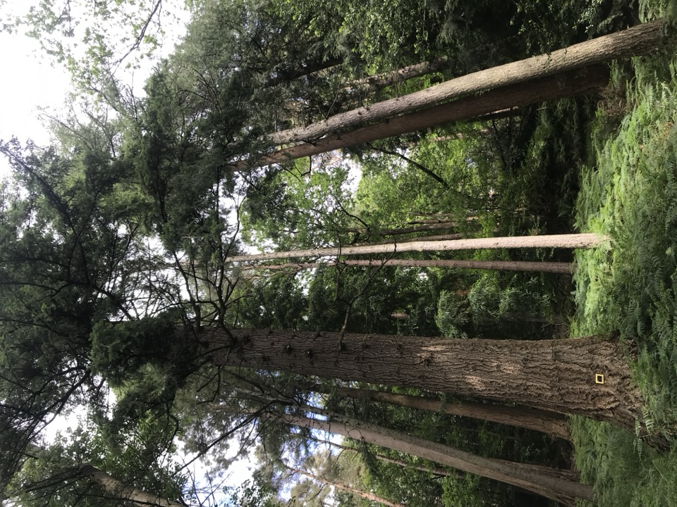 EasyAmbleside Champion Tree Trail1.3 km · 45 min · 1.9 km awayShort woodland loop past some of England's tallest champion trees
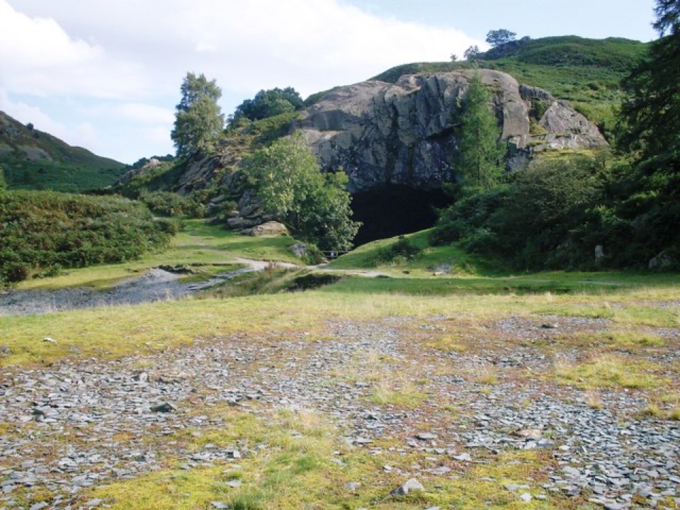 EasyRydal Water and Caves Circular5.1 km · 1.8 hr · 3.1 km awayLakeshore woods, stepping stones and a quarried cave above the water
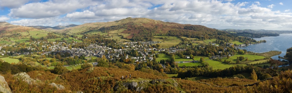 Sight · 0.3 km awayAmblesideOutdoor shops and old slate streets, with Windermere a mile away
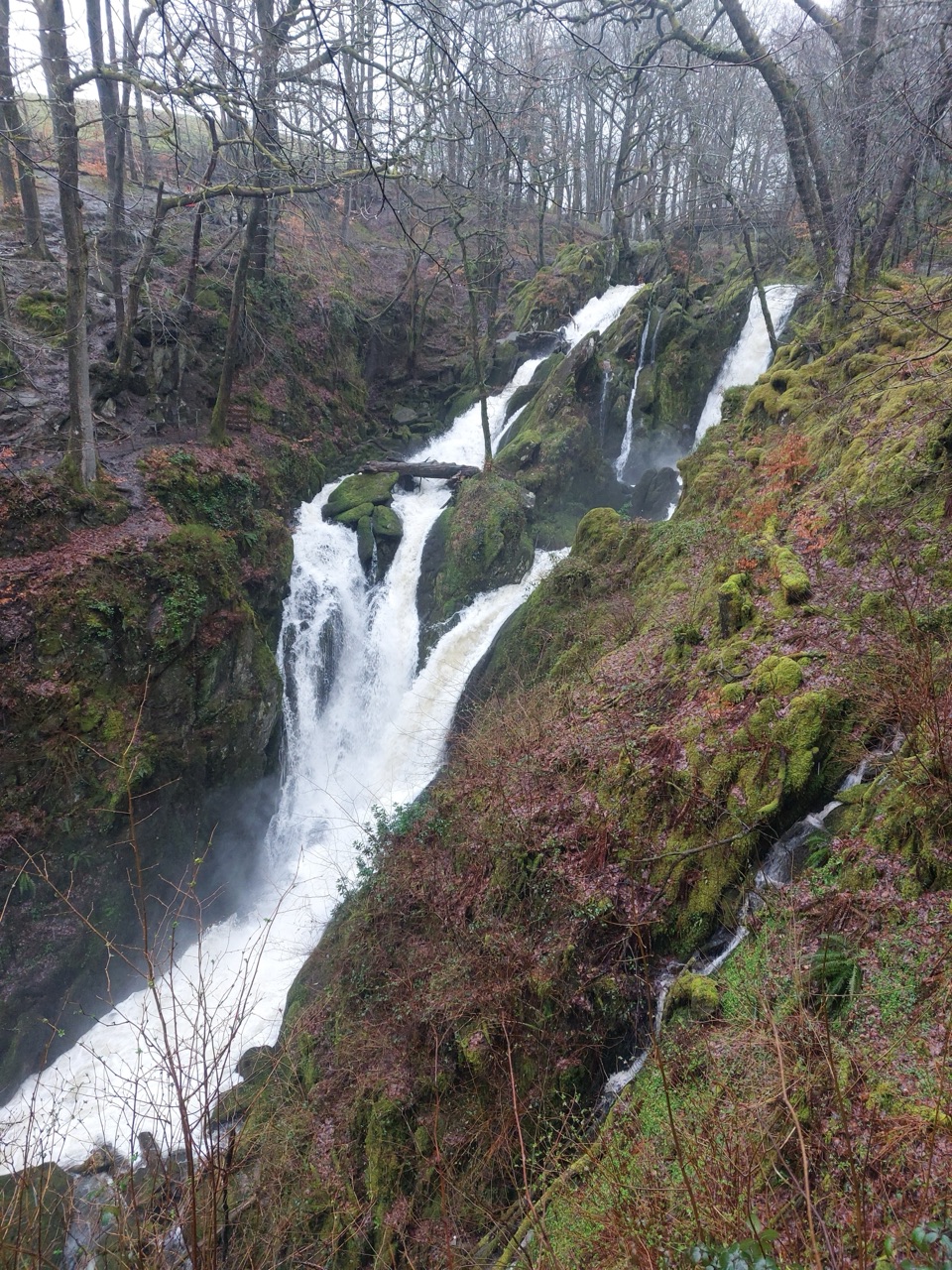 Sight · 0.9 km awayStock Ghyll ForceA short woodland walk to a 70-foot cascade above Ambleside
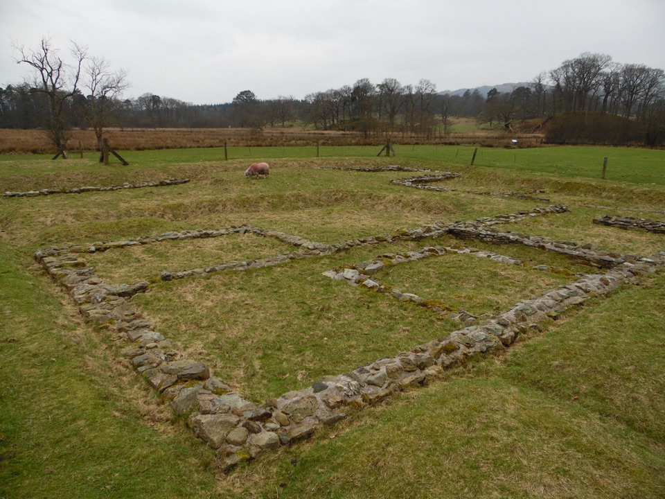 Sight · 1.4 km awayAmbleside Roman FortLow stone foundations make a Roman garrison surprisingly legible
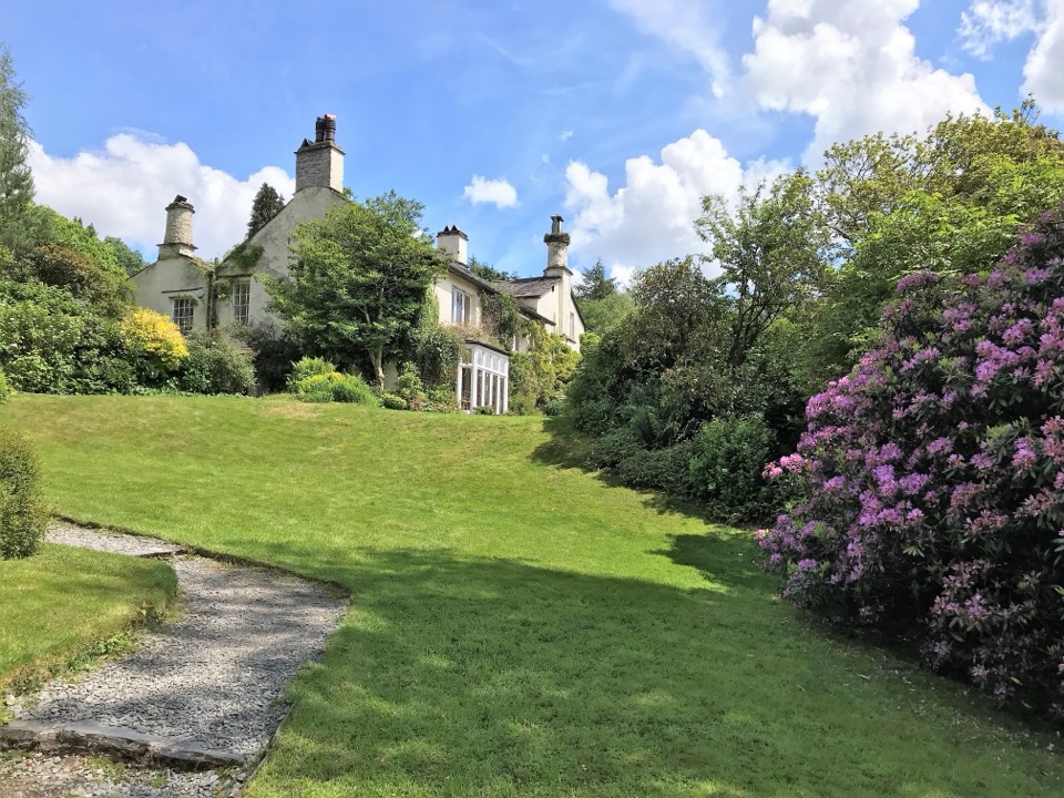 Sight · 2 km awayRydal MountWordsworth's final home, wrapped in five acres of garden and paths
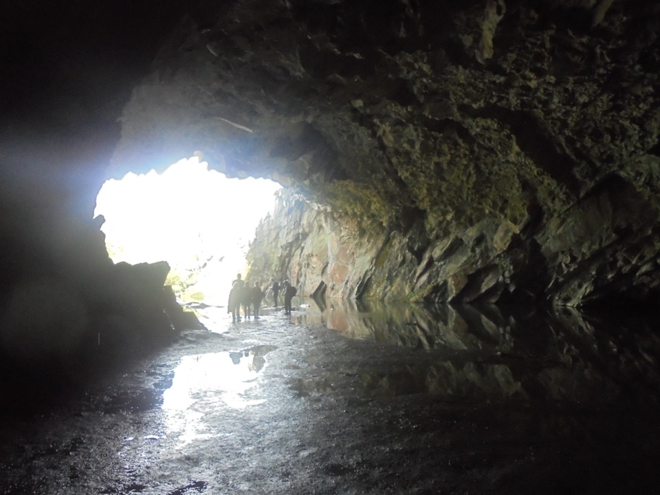 Sight · 2.3 km awayRydal CaveA former slate quarry opens onto water, stone, and fell views
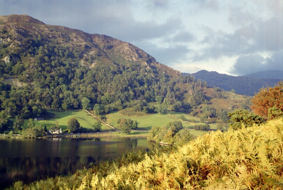 Sight · 2.4 km awayRydal WaterSmall lake, big reflections beneath Loughrigg Fell
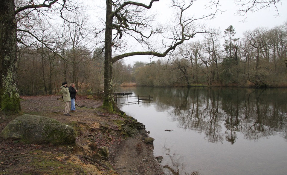 Campground · 3.2 km awayLow Wray CampsiteLakeside camping beside Windermere, with Wray Castle next doorSight · 3.7 km awayWray CastleA turreted lakeshore estate tied to Beatrix Potter's first visit
Parkwolf’s Lake District ranking

The audio tour guide for the drive, plus offline maps, trails, and wildlife heatmaps for when the signal drops.




