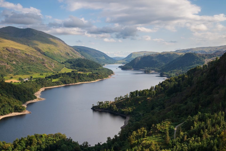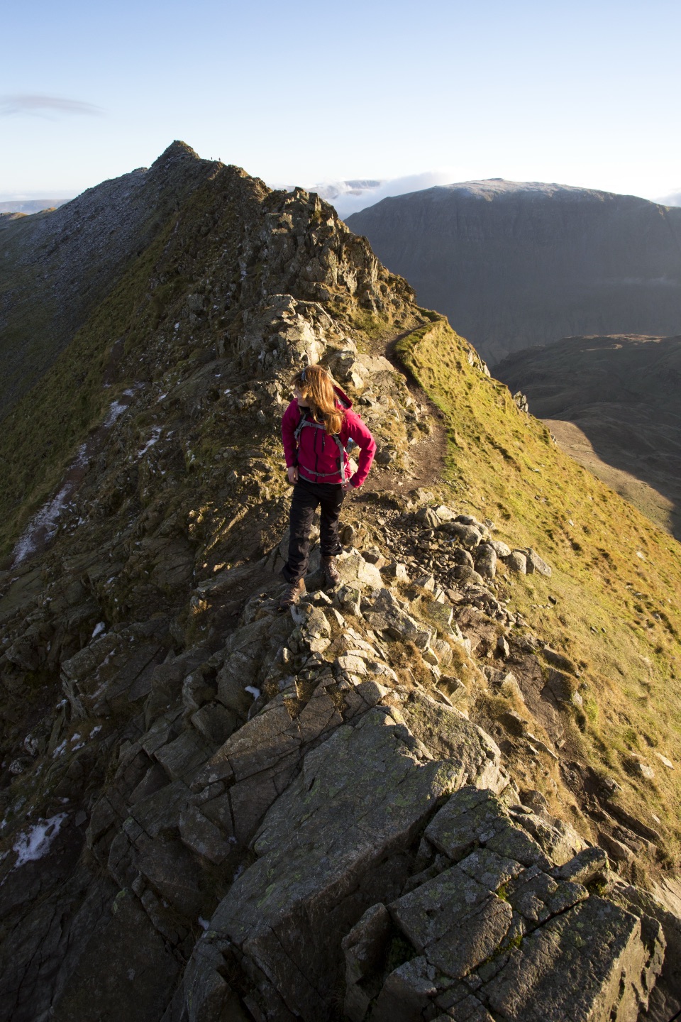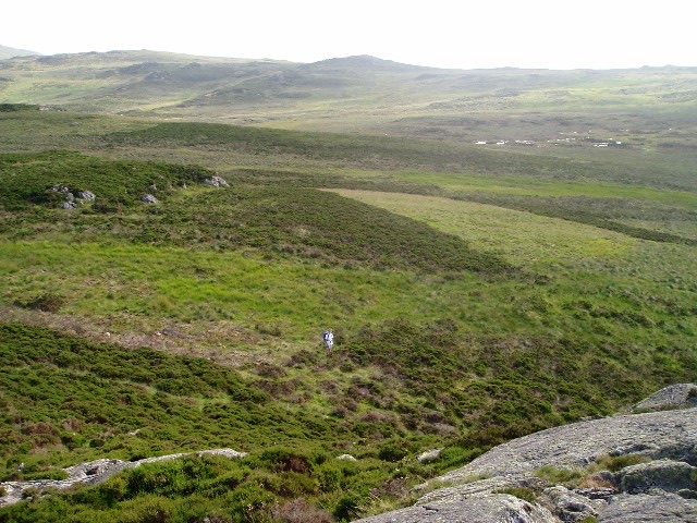
High Tove and Armboth Fell from Thirlmere in Lake District National Park

Lake District National Park, EN

High Tove and Armboth Fell from Thirlmere

A boggy two-fell outing with open views above Thirlmere

Photo: Wikimedia Commons
Length
6.6km
Time
2hr
Elev. change
301m
Difficulty
Moderate
  • Loop
  • Dogs allowed
  • High point 510 m
  • #108 of 265 in Lake District

Hear the audio tour

Armboth: High Tove and the Rocky Tops

Overview

About High Tove and Armboth Fell from Thirlmere

Why go

  • Two Wainwright summits in a compact outing
  • Open Thirlmere and Helvellyn views

Heads up

  • Boggy, indistinct ground dominates the middle
  • Summit rewards are rocky cairns, not big landmarks
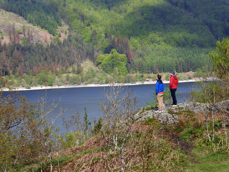
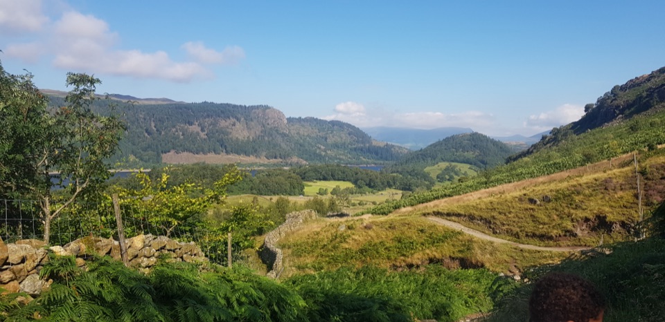
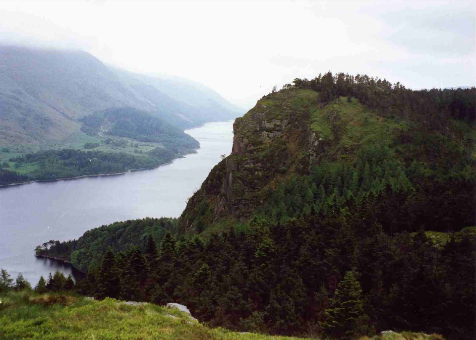
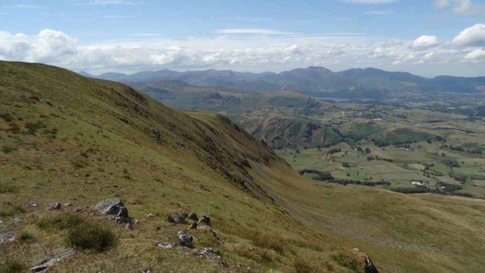
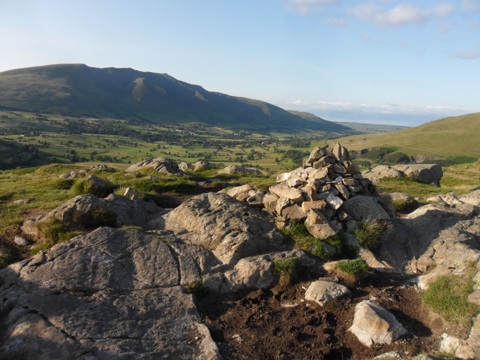
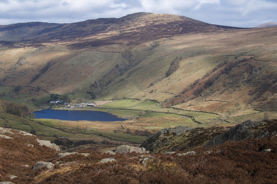
You get open views along Thirlmere to the Helvellyn range, with Blencathra and the central fells appearing as the route gains height. Armboth Fell has more satisfying rocky tops than High Tove, while High Tove itself is a quiet, understated summit. The honest downside is that the bog is the defining feature of the middle section. A prolonged dry spell or frozen ground makes the crossing easier, but never assume a clear path across the open fell. Clear early or late light gives the best shape to the reservoir and surrounding ridges.
Parkwolf’s verdictThe payoff and the tradeoff

Map & elevation

The route

Loading the Lake District map
Full map
Elevation209–510 m
TrailheadHigh Tove and Armboth Fell from Thirlmere54.54550, -3.07502
Keep this map with you offline in the Parkwolf app

Plan your hike

Before you go

Parking

Use the United Utilities Armboth pay-and-display car park on the west side of Thirlmere, near CA12 4TW. The route starts a few metres back along the road, through the public bridleway kissing gate beside the Watendlath sign. Do not substitute a different Thirlmere pullout or park on the road.


Safety

The open ground between High Tove and Armboth Fell is wet, pathless in places, and difficult to follow in mist. Carry a map and compass rather than relying on a visible tread. Fisher Gill and its tributaries require careful stepping on uneven, potentially slippery stones. The rocky summit tops are not technical scrambles, but footing is rough and there is no reliable water or shelter once you leave the lower track.

8 active Lake District alerts

  • ClosureChapel Stile footpath closed for retaining-wall riskPart of Footpath 543030 between Chapel Stile and Baysbrown campsite is closed because a retaining wall beside the path could collapse and material it supports could fall across the footpath.Official details
  • ClosureStanley Ghyll Lower Falls footpath closed for rockfallThe section of Footpath 408037 leading towards Stanley Ghyll Lower Falls is closed because severe rockfall damage has made the path unstable and further rockfall remains a danger.Official details
See all 8 alerts
A park ranger sits on a dash-mounted phone, talking, as Parkwolf’s Tour Guide plays “Army Cutworm Moths: A Grizzly Bear Buffet” on Grand Loop Road below Dunraven Pass in Yellowstone
Parkwolf Tour GuideThe highest, rockiest slopes around here are a summer buffet for grizzly bears.

Lake District Tour Guide

Your drive to High Tove and Armboth Fell from Thirlmere, narrated.

Parkwolf is a GPS audio tour guide for Lake District National Park. As you drive, it chimes in with what’s ahead: hidden gems, upcoming stops, history, geology, and wildlife, right through your car’s speakers.

Recorded for this trailhead

Armboth: High Tove and the Rocky Tops
0:00 / 0:57
“Armboth car park is coming up, the starting point for a quiet fell walk to High Tove and Armboth Fell.”

Plays as you drive up to this trailhead in the Parkwolf Lake District Tour Guide.

More stories near here in the app

  • Thirlmere and Swirls: Viewpoint or Mountain Day
  • Raven Crag: Thirlmere from Above
  • Stanah: Sticks Pass and the Dodds
  • Legburthwaite: High Rigg Ridge and Valley
  • 298 audio storiesacross Lake District’s roads, triggered by GPS as you drive
  • Wildlife heatmapsfor Red Deer, Eurasian Otter, Osprey, and 13 more
  • Works offlinemaps, 265 trails, 89 places, and audio download before you lose signal
  • CarPlay readysimple controls built for the drive
★★★★★
“Fantastic app with many points of information… It’s great to just turn on while you’re driving and it gives you an audio tour of the national Park. We love it!!!!”
JMJamesApp Store review
Download Parkwolf on the App StoreGet Parkwolf on Google Play

4.7 from 8,600+ ratings

Trail guide

Hiking High Tove and Armboth Fell from Thirlmere

The routeThis is a 4.1-mile circular outing from the United Utilities Armboth car park.

This is a 4.1-mile circular outing from the United Utilities Armboth car park. The stored distance is the complete circuit, not a one-way figure. From the road, pass through the kissing gate and cross the bridge by Fisher Gill, then climb beside the fence and through old woodland before emerging onto open fell. High Tove comes first, marked by a modest cairn. From there, the route crosses the wet ground to both rocky tops of Armboth Fell, then returns across the fell and descends by Fisher Gill.

What it feels likeThe first climb is on a rough but recognizable track.

The first climb is on a rough but recognizable track. The character changes sharply above the wall: the trod becomes faint, heather and tussocks close in, and the broad hollow between High Tove and Armboth Fell is notoriously boggy. Allow about 2 hours for a steady round, including time to pause for the views. This is moderate fell walking because of the rough footing and route finding, even though the mileage is short.

PlanningThere is no permit requirement identified for this public route, but carry a map and compass…

There is no permit requirement identified for this public route, but carry a map and compass and be comfortable navigating when the trod disappears. Dogs are allowed and there are no stiles on the described circuit, but keep them close around livestock and wildlife. If you want a shorter, more obvious path with a defined crag and clearer footing, Raven Crag and Castle Crag beside Thirlmere is a better choice; this outing is for quieter Wainwright summits and a more rugged, pathless feel.

Wildlife

Wildlife in Lake District

All Lake District wildlife maps

Sighting maps show where each species has been reported across Lake District. Wildlife moves, so no sighting is guaranteed.

Keep exploring

Near High Tove and Armboth Fell from Thirlmere

See it all on the map

Trails that start nearby

Places near the trailhead

Parkwolf’s Lake District ranking

Top-rated trails in Lake District

All 265 trails
  1. 1Scafell Pike via Hollow Stones from WasdaleChallenging · 9 km
  2. 2Helvellyn via Striding Edge and Swirral EdgeChallenging · 12.4 km
  3. 3CatbellsModerate · 6.6 km
  4. 4The Old Man of ConistonChallenging · 9 km
  5. 5Buttermere CircularEasy · 7.6 km
  6. 6The Fairfield HorseshoeChallenging · 17.2 km

Take Parkwolf to Lake District.

The audio tour guide for the drive, plus offline maps, trails, and wildlife heatmaps for when the signal drops.

4.7 from 8,600+ ratings

Download Parkwolf on the App StoreGet Parkwolf on Google Play