Parking
Start from United Utilities Legburthwaite Car Park, reached via the B5322 off the A591 near St John's in the Vale. The route leaves by a walled lane and reaches the fell path through a ladder stile or gate.
Lake District National Park, EN
Compact ridge circuit with Thirlmere and Blencathra views
Overview
Map & elevation
Plan your hike

The highest, rockiest slopes around here are a summer buffet for grizzly bears.
Lake District Tour Guide
Parkwolf is a GPS audio tour guide for Lake District National Park. As you drive, it chimes in with what’s ahead: hidden gems, upcoming stops, history, geology, and wildlife, right through your car’s speakers.
Recorded for this trailhead
Legburthwaite: High Rigg Ridge and Valley“You're drawing near Legburthwaite, the starting point for a walk over High Rigg and Wren Crag. I'd choose this circuit if you fancy a rolling fell ridge, a little tarn and a valley return in about three hours.”
Plays as you drive up to this trailhead in the Parkwolf Lake District Tour Guide.
More stories near here in the app
“Fantastic app with many points of information… It’s great to just turn on while you’re driving and it gives you an audio tour of the national Park. We love it!!!!”


Trail guide
A loop of about 5.5 miles, commonly quoted between 5.2 and 5.6 miles with roughly 1,200 feet of ascent, and usually walked in 2.5 to 3 hours. It links a low ridge with a valley return, so the climbing comes in short bursts rather than one long pull.
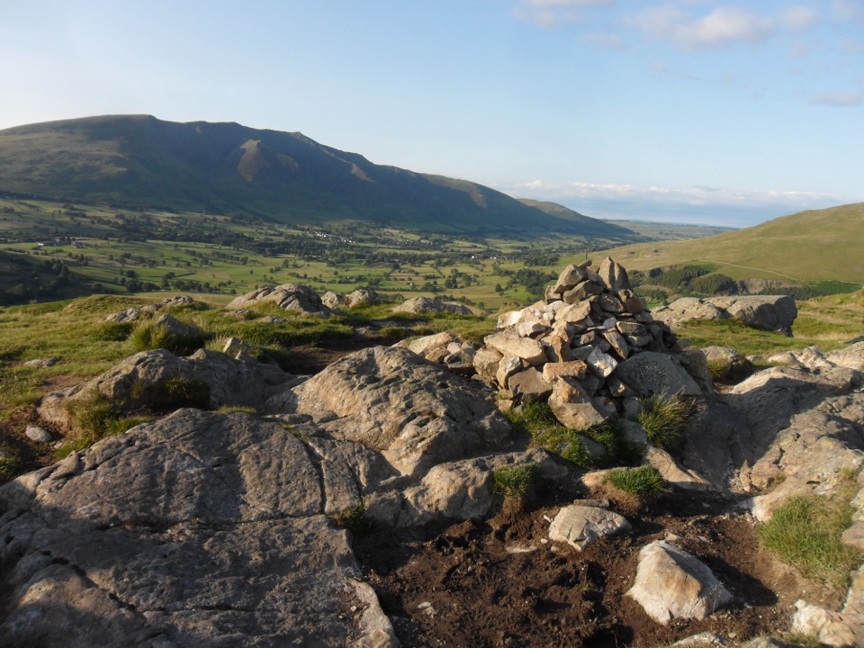
From the car park the way follows a walled lane, then about 250 m of verge beside the A591 before crossing to the path. A ladder stile or gate leads to the climb over Wren Crag, which opens views to Thirlmere, Raven Crag, St John's in the Vale and Blencathra.
The ridge is undulating rather than a single summit, passing High Rigg Tarn and Moss Crag before reaching the two commonly cited high points: the Wainwright summit and the cairned 357 m Ordnance Survey top. Skiddaw and Blencathra dominate the northern skyline.
A steep drop through bracken and steps leads past the white Carlisle Diocesan Youth Centre to the road by St John's church. A signed bridleway and field paths continue towards Sosgill Bridge and above Low Bridge End Farm, then a beck-side path with steep drops in places returns to the main road and the car park.
Expect grass and bracken, narrow stony sections, and boggy ground around the tarn margins. Stiles, gates and field crossings are frequent, and good footwear is worth having for the wet patches and the steep descent.
The circuit uses public footpaths and bridleways with no route-specific dog restriction. Keep dogs on a short lead or under close control, particularly in the farmland sections where livestock and horses are likely.
Wildlife
 81 sightingsRed DeerMost seen around 7 PMSighting map
 13 sightingsEurasian OtterMost seen around 6 AMSighting map
 76 sightingsOspreyMost seen around 8 AMSighting map
 51 sightingsEuropean BadgerMost seen around 8 PMSighting map
 233 sightingsMute SwanMost seen around 6 PMSighting map
 176 sightingsGrey HeronMost seen around 7 AMSighting map
Sighting maps show where each species has been reported across Lake District. Wildlife moves, so no sighting is guaranteed.
Keep exploring
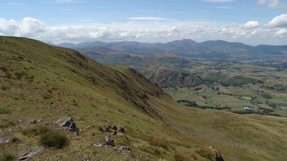 ChallengingThe Dodds and Clough Head via Sticks Pass20 km · 7 hr · 0.6 km awayLong grassy ridge circuit over three Dodds, Clough Head and Sticks Pass
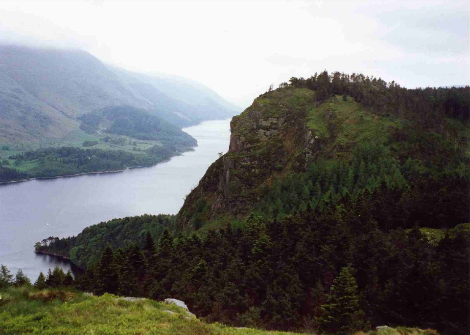 ModerateRaven Crag and Castle Crag beside Thirlmere2.4 km · 1.5 hr · 1.2 km awayA sharp little ascent to two crags above Thirlmere
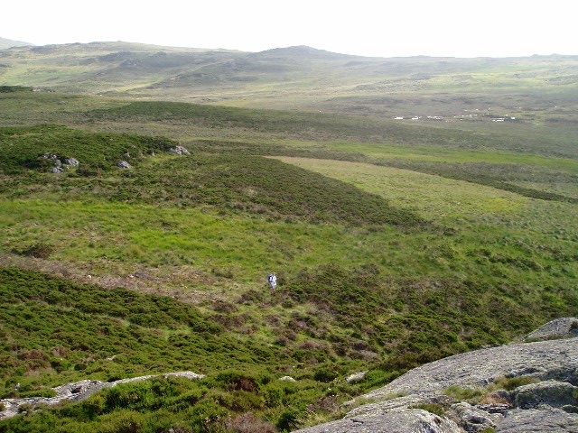 ModerateHigh Tove and Armboth Fell from Thirlmere6.6 km · 2 hr · 2.6 km awayA boggy two-fell outing with open views above Thirlmere
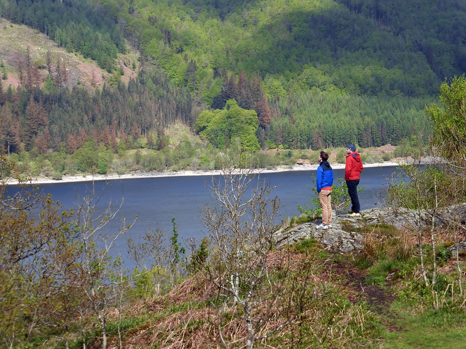 EasySwirls Trail, Thirlmere1.4 km · 1 hr · 2.6 km awayA short accessible path to a quiet Thirlmere viewpoint
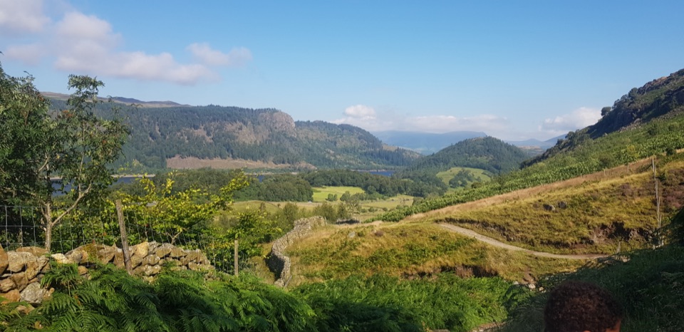 ChallengingHelvellyn Round from Thirlmere15 km · 5.5 hr · 2.7 km awayQuiet woodland start, then a long high ridge to Helvellyn's summit
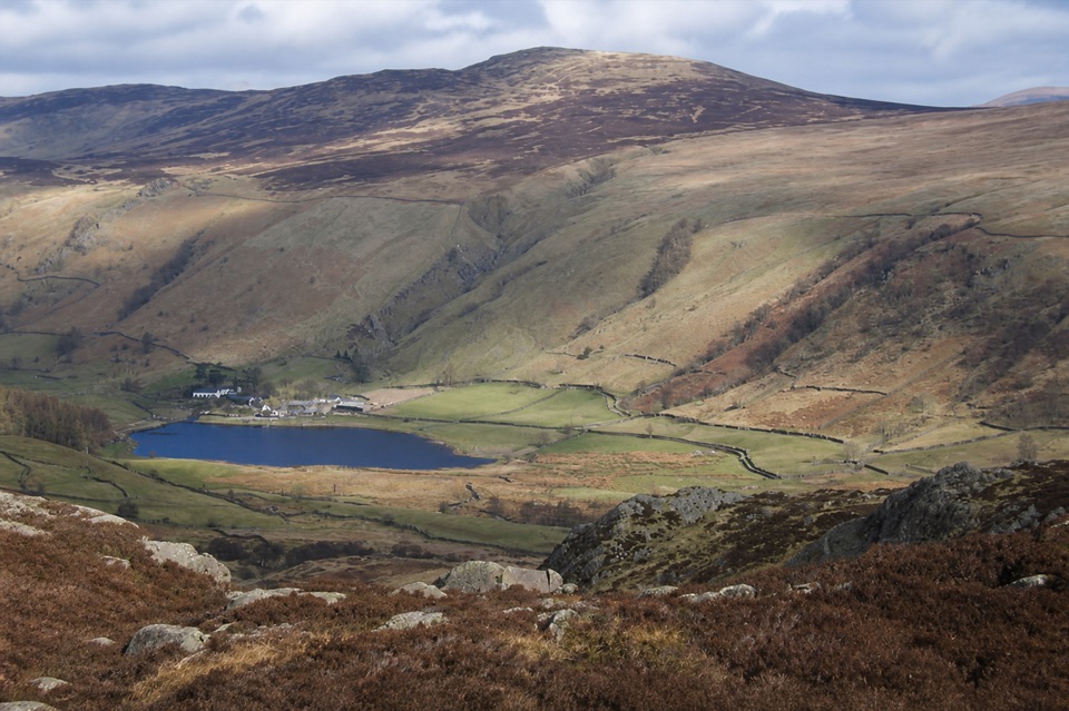 ModerateHigh Seat from Ashness Bridge6.1 km · 2.5 hr · 4.6 km awayA steep, boggy climb to a huge Central Fells panorama
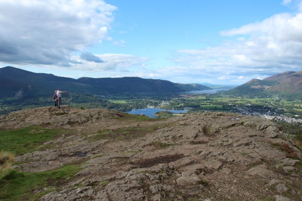 ModerateWalla Crag to Ashness Bridge Walk7.2 km · 2.5 hr · 4.9 km awayRocky crag views over Derwent Water, then down to Ashness Bridge
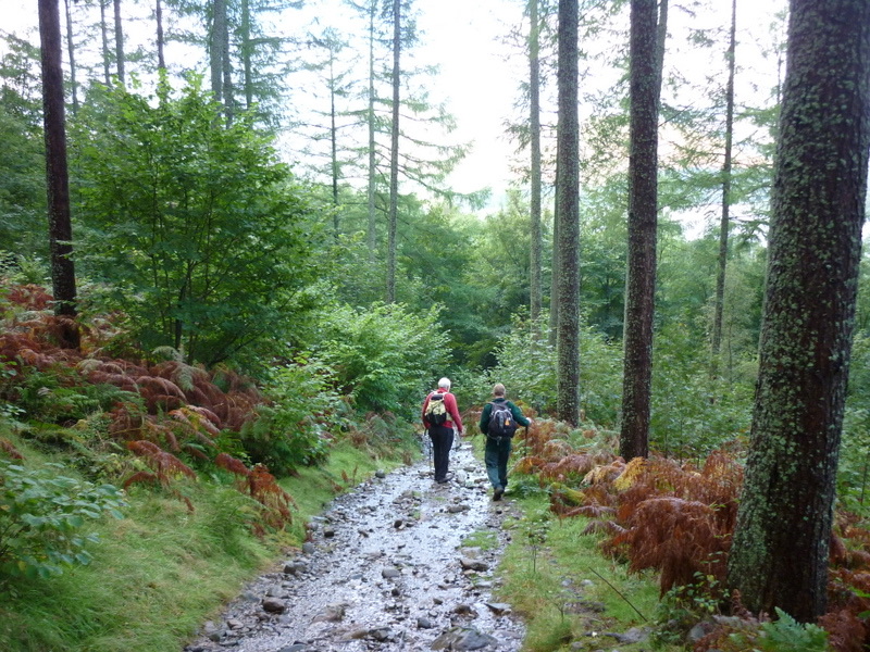 ModerateGreat Wood Walk2.7 km · 1.3 hr · 5 km awayA short wooded loop with Derwentwater views below Walla Crag
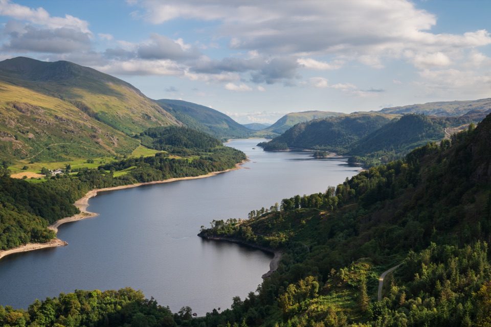 Sight · 3.4 km awayThirlmereA long, dark reservoir framed by Helvellyn and wooded fells.
 Sight · 4.7 km awayAshness BridgeAn 18th-century packhorse bridge above a rushing Borrowdale beck
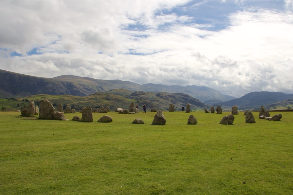 Sight · 4.9 km awayCastlerigg Stone CircleA 4,500-year-old stone ring with a grand mountain backdrop
 Sight · 5 km awaySurprise ViewA cliff-edge panorama over Derwentwater, islands, and Borrowdale
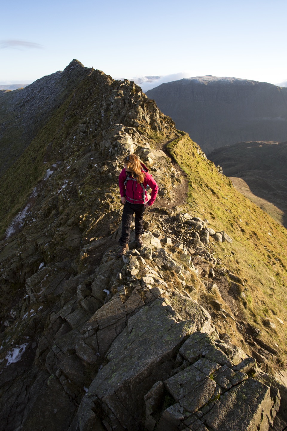 Sight · 5.1 km awayHelvellynEngland's third-highest peak, ringed by two airy ridges
 Sight · 5.3 km awayLodore FallsA wooded ravine where Watendlath Beck tumbles toward Derwentwater
 Sight · 5.9 km awayDerwentwaterA mountain lake with islands, wooded shores, and classic fell views
 Sight · 6 km awayFriar's CragA level lakeside path to Keswick's classic Derwentwater view
Parkwolf’s Lake District ranking

The audio tour guide for the drive, plus offline maps, trails, and wildlife heatmaps for when the signal drops.





