Parking
Small car park beside St Mary's Church at Whicham, reached from the A595; the footpath to the route leaves between the church and old school. Do not block the church or farm access.
Lake District National Park, EN
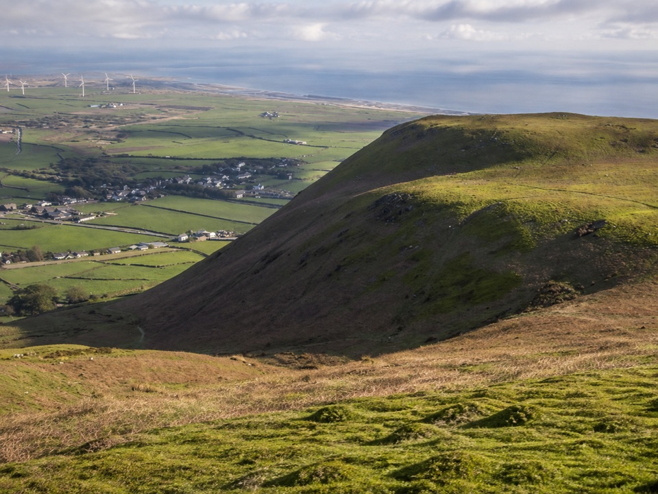
Steep grassy climb to a coastal fell summit with huge sea views
Overview
Map & elevation
Plan your hike

The highest, rockiest slopes around here are a summer buffet for grizzly bears.
Lake District Tour Guide
Parkwolf is a GPS audio tour guide for Lake District National Park. As you drive, it chimes in with what’s ahead: hidden gems, upcoming stops, history, geology, and wildlife, right through your car’s speakers.
Recorded for this trailhead
Black Combe: A Summit Above the Sea“You're nearing Whicham Church, the starting point for a walk up Black Combe with the Irish Sea spread out below. This is a good choice for a quieter summit outing, with far fewer walkers than the central fells.”
Plays as you drive up to this trailhead in the Parkwolf Lake District Tour Guide.
More stories near here in the app
“Fantastic app with many points of information… It’s great to just turn on while you’re driving and it gives you an audio tour of the national Park. We love it!!!!”


Trail guide
An out-and-back of 4.7 miles total round trip from the small car park beside St Mary's Church at Whicham, just off the A595. Leave the car park by the footpath between the church and the old school, follow the short lane and track, then pick up the clear public bridleway that climbs across open fell all the way to the top. Budget around 3.5 hours at a walking pace with stops.
The payoff is the summit itself at 600 m (1,970 ft), marked by a trig point and a stone shelter, reached on a final cairned approach. You return the same way, so there is no navigation puzzle at the end of the day.
Call it a moderate to moderately strenuous hill walk: no scrambling or technical ground, but a sustained climb that rewards decent footwear.
Black Combe sits unusually close to the Irish Sea, which is why the view from the top is so much broader than the modest height suggests. On clear days the panorama can take in the coastline and open sea, Morecambe Bay, the western Lake District fells, and, when the air is exceptionally clean, the Isle of Man and distant land across the water toward Wales, Ireland and Scotland. That kind of long-range clarity is a bonus rather than a given.
The flip side is exposure. The fell is open, with no tree cover and nothing to break the wind once you are above the fields. There is no shelter beyond the summit windbreak.
The direct path is usually obvious, and walkers have found it easy to stay on in mist. Still, this is open fell, and low cloud removes the visual references that make the ground legible. If the summit is capped, carry a map and compass or a reliable GPS track and be prepared to turn around. Coming down blind on trackless grass slopes is the main way this walk goes wrong.
There is a separate circular route on Black Combe of around 10.7 miles that takes in more varied and rougher ground. It is a different, much bigger day with weaker route markings in places, and not an extension of this walk.
Wildlife
 81 sightingsRed DeerMost seen around 7 PMSighting map
 13 sightingsEurasian OtterMost seen around 6 AMSighting map
 76 sightingsOspreyMost seen around 8 AMSighting map
 51 sightingsEuropean BadgerMost seen around 8 PMSighting map
 233 sightingsMute SwanMost seen around 6 PMSighting map
 176 sightingsGrey HeronMost seen around 7 AMSighting map
Sighting maps show where each species has been reported across Lake District. Wildlife moves, so no sighting is guaranteed.
Keep exploring
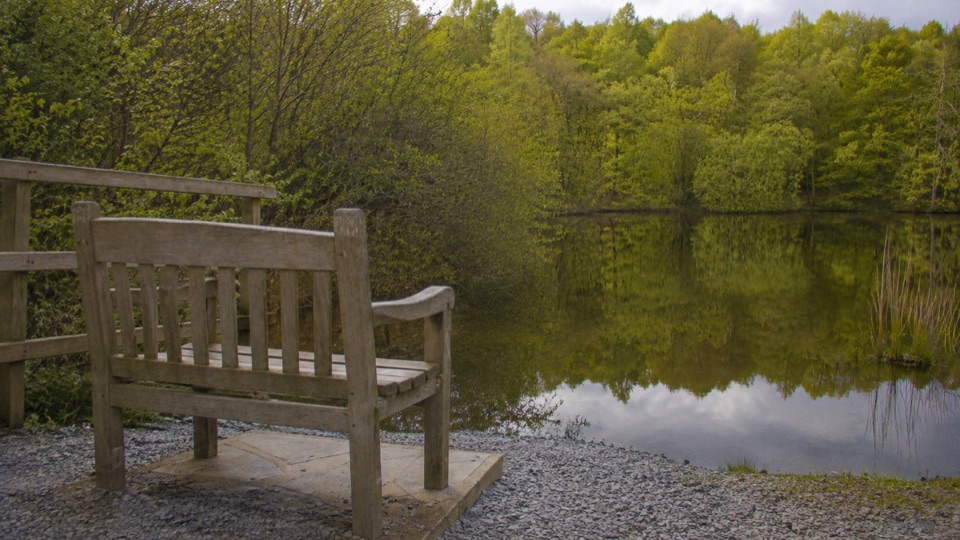 EasyBroughton Railway4.5 km · 1.3 hr · 9.2 km awayGentle old railway line past two tarns, with a rougher far end
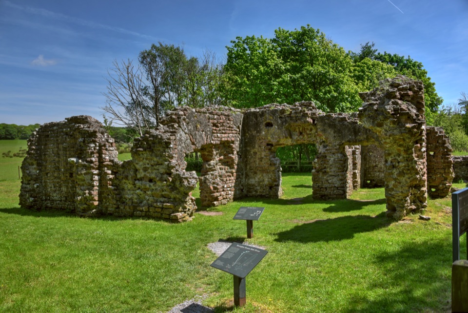 EasyWalls Drive, Ravenglass2.3 km · 45 min · 14.6 km awayFlat tarmac stroll to Roman bath house walls beside three-river estuary
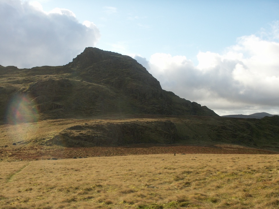 ModerateGreen Crag from Birker Fell6.6 km · 3 hr · 15 km awayA short, pathless fell loop with a surprisingly big summit view
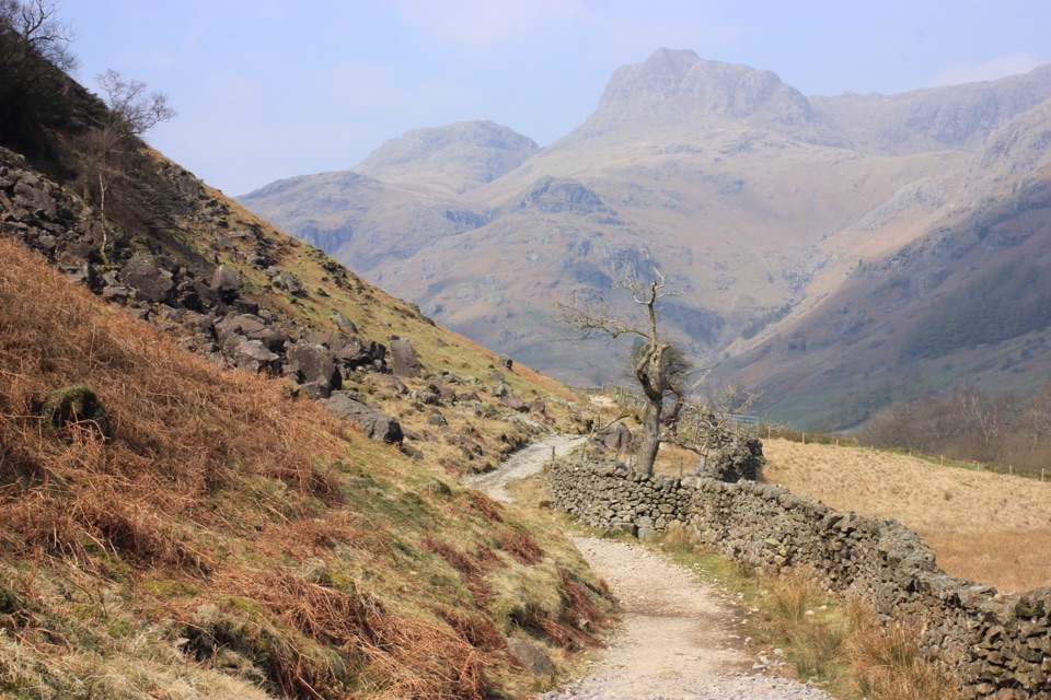 ChallengingCumbria Way116.7 km · 1.5 days · 15.5 km awayA classic five-day crossing through lakes, valleys, and open fell
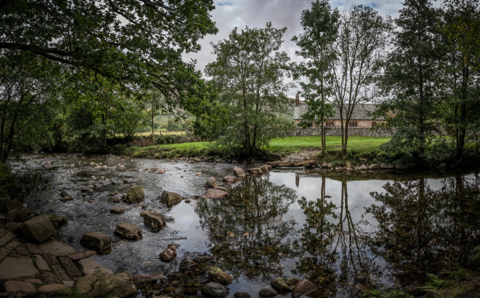 EasyRiver Esk: Steam, Ride and Ramble Walk5.6 km · 2.5 hr · 18.4 km awaySteam railway start, riverside paths and a humpback bridge loop
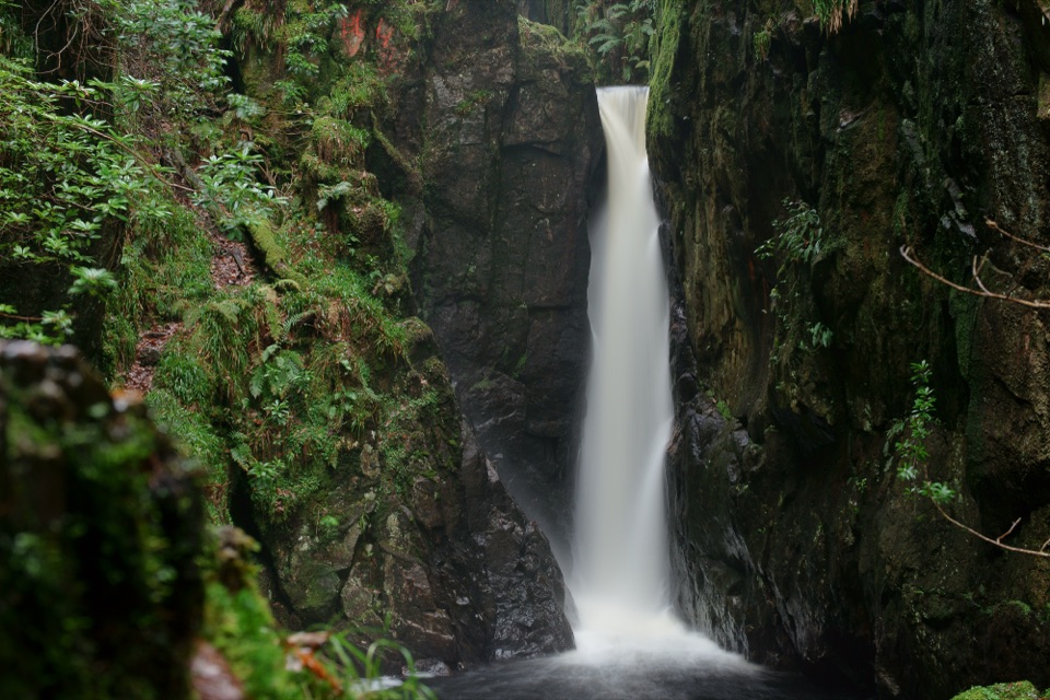 ModerateDalegarth and Stanley Ghyll Circular4.8 km · 1.8 hr · 18.4 km awayMossy gorge, cascades, and a dramatic waterfall above Eskdale
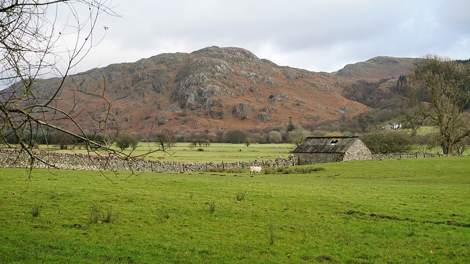 EasyEskdale Trail12.6 km · 4.5 hr · 18.4 km awayRiverside fields, oak woods and Chapel Hill, from Dalegarth to the coast
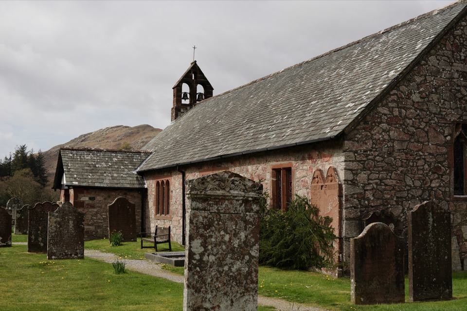 EasyDalegarth, Eskdale2.7 km · 1 hr · 18.4 km awayA compact Eskdale loop for church, river, and old railway traces
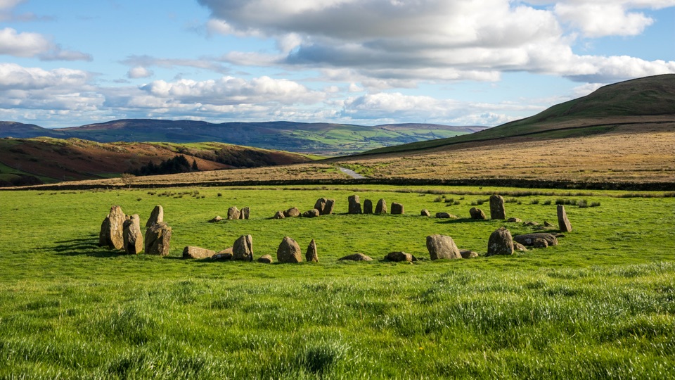 Sight · 6.6 km awaySwinside Stone CircleA remarkably intact Neolithic circle beneath Black Combe
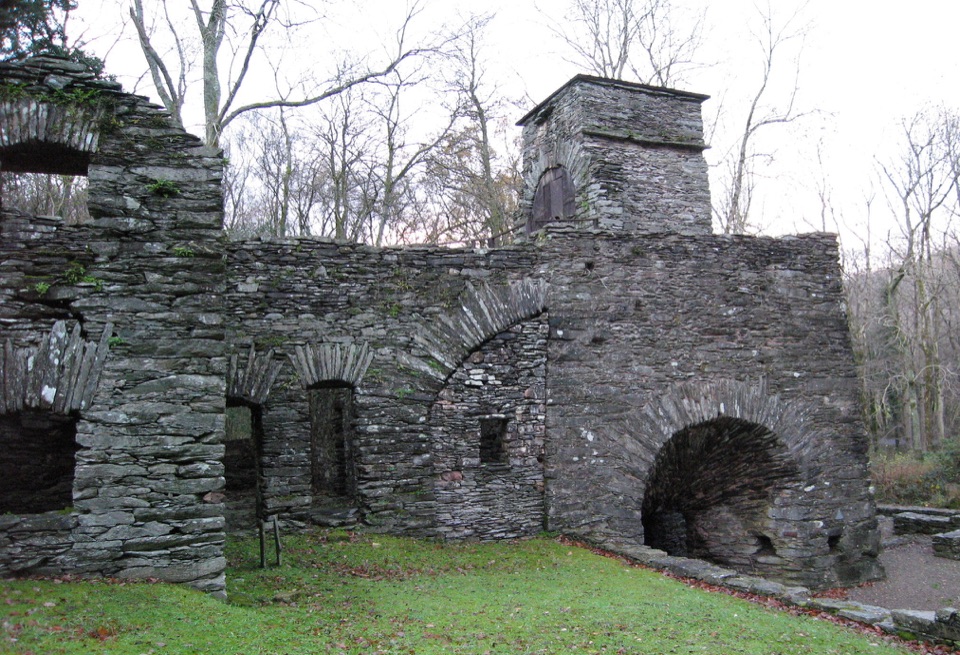 Sight · 8.3 km awayDuddon Iron FurnaceA stone blast furnace tucked beside the Duddon Valley road.
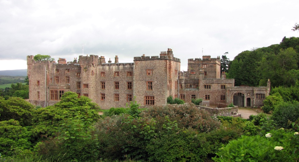 Sight · 14 km awayMuncaster CastleA lived-in castle with 77 acres of gardens and flying displays
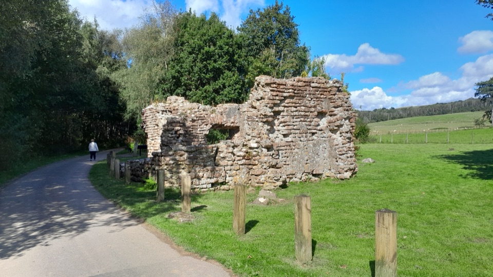 Sight · 14 km awayRavenglass Roman Bath HouseRoman walls nearly four metres high make this bath house memorable
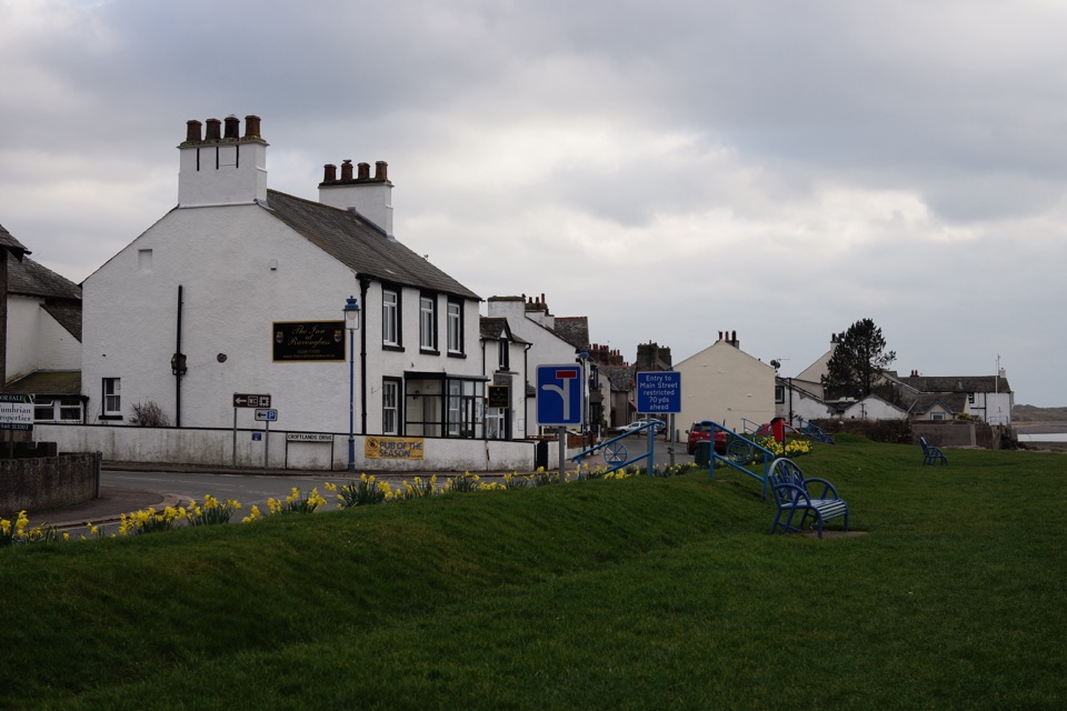 Sight · 14.5 km awayRavenglassA tidal estuary village where Roman ruins meet a little railway
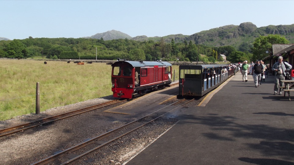 Sight · 14.6 km awayRavenglass & Eskdale RailwayA tiny train rolls from coastal estuary to wild Eskdale
Parkwolf’s Lake District ranking

The audio tour guide for the drive, plus offline maps, trails, and wildlife heatmaps for when the signal drops.





