Parking
Use The Gill car park in Ulverston, then walk to the Cumbria Way start marker at The Gill. This is long-stay town parking, but the route finishes in Carlisle, so arrange transport, public transit, or a car shuffle before setting out.
Lake District National Park, EN
A classic five-day crossing through lakes, valleys, and open fell
Overview
Map & elevation
Plan your hike

The highest, rockiest slopes around here are a summer buffet for grizzly bears.
Lake District Tour Guide
Parkwolf is a GPS audio tour guide for Lake District National Park. As you drive, it chimes in with what’s ahead: hidden gems, upcoming stops, history, geology, and wildlife, right through your car’s speakers.
More stories near here in the app
“Fantastic app with many points of information… It’s great to just turn on while you’re driving and it gives you an audio tour of the national Park. We love it!!!!”


Trail guide
This is a linear point-to-point walk of about 72.5 miles (117 km) one way, from The Gill in Ulverston to Carlisle. Most people split it into five days, with about 35 hours of moving time overall. The stored route follows the main low-level line, not the optional high-level detour near High Pike.
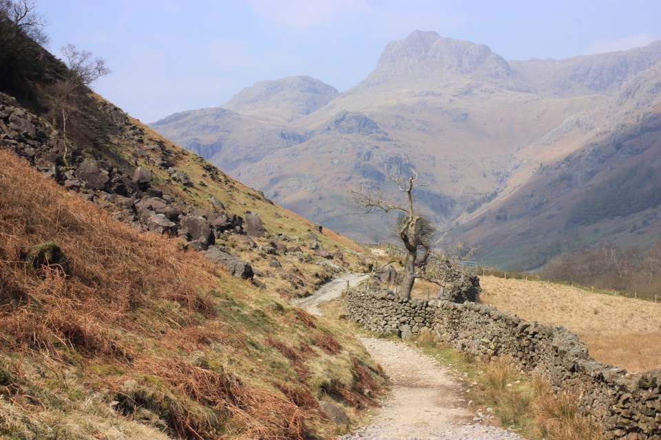
The walk starts through pasture, lanes, and low hills before reaching Beacon Tarn and the long lakeshore finish into Coniston. From there it threads through woodland and around Tarn Hows, passes Colwith Force and Skelwith Force, and opens into Great Langdale. Stake Pass is the route's main mountain crossing, followed by a gentler stretch through Langstrath and Borrowdale and a fine approach beside Derwent Water into Keswick.
The northern half changes character again: the path climbs out of Keswick toward the Skiddaw area, then drops toward Caldbeck before following the River Caldew and prepared cycleways toward Carlisle. Underfoot ranges from farm tracks and lanes to grass, rough fell path, stone, and short boardwalk or cycleway sections. It is mostly low level, but Stake Pass and the optional High Pike alternative are exposed, and the route can feel hard because several days are long rather than because every mile is steep.
The route is at its most enjoyable from late spring through autumn. April and May bring strong greens and wildflowers, summer gives the longest daylight, and autumn adds colour in the woods. Winter is a different undertaking because daylight is short and snow or ice can make the passes substantially harder. The long middle stages have stretches with little shelter or refreshment, so treat the Keswick to Caldbeck day as self-contained and carry what you need. Villages at the stage ends make a five- or six-day plan practical.
This is a signed public long-distance route, but waymarks are not a substitute for a map or navigation app. Expect gates, stiles, farmyards, road walking, and ground that becomes boggy or muddy after rain. The route's appeal is its changing scenery and manageable logistics, not a single summit: choose a dedicated fell day instead if you want a more concentrated mountain hike.
Wildlife
 81 sightingsRed DeerMost seen around 7 PMSighting map
 13 sightingsEurasian OtterMost seen around 6 AMSighting map
 76 sightingsOspreyMost seen around 8 AMSighting map
 51 sightingsEuropean BadgerMost seen around 8 PMSighting map
 233 sightingsMute SwanMost seen around 6 PMSighting map
 176 sightingsGrey HeronMost seen around 7 AMSighting map
Sighting maps show where each species has been reported across Lake District. Wildlife moves, so no sighting is guaranteed.
Keep exploring
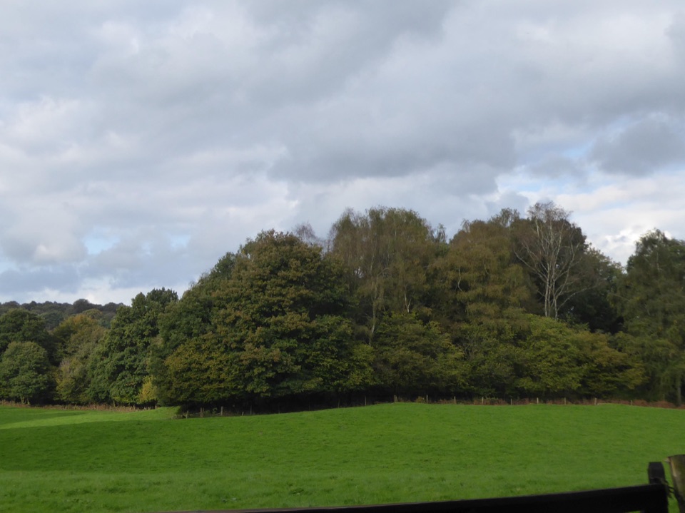 ModerateRusland Valley and Yewbarrow13.7 km · 4.5 hr · 7.1 km awayGunpowder tramway, tidal river fields, ancient yews and open fell views
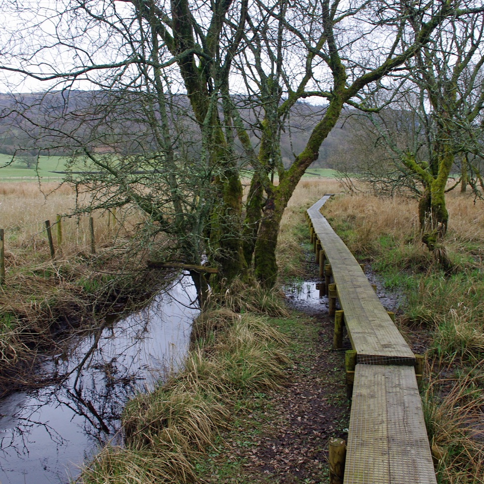 ModerateGreenwood Trail 1: Old Hall Farm to Rusland Moss and Hay Bridge8.7 km · 4.5 hr · 8.1 km awayA 5.4-mile loop over raised bog boardwalks, coffin road and quiet lanes
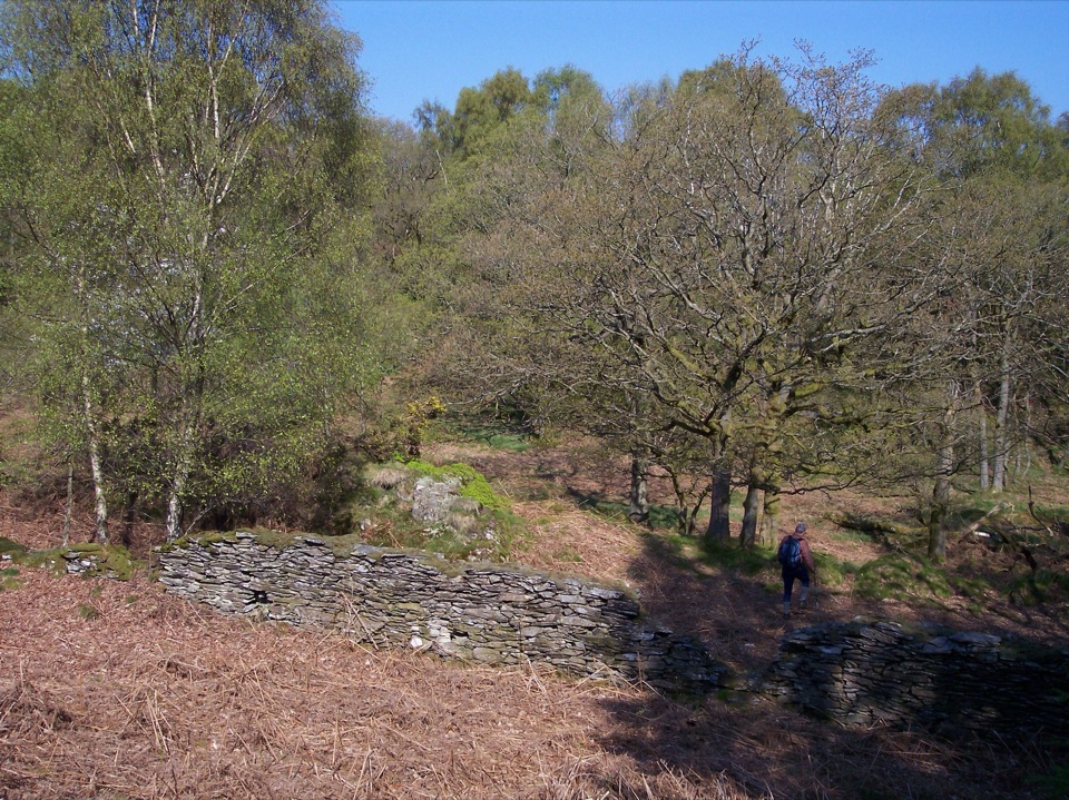 ModerateGreenwood Trail 2: Haverthwaite Heights and Abbots Reading4.8 km · 1.8 hr · 8.2 km awayA muddy woodland circuit with a rewarding farm detour
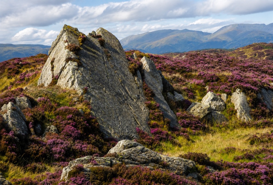 ModerateGreenwood Trail 4: Oxen Park to Bethecar Moor13 km · 4.5 hr · 9.4 km awayRough, quiet loop over Bethecar Moor's open fell and Grizedale woods
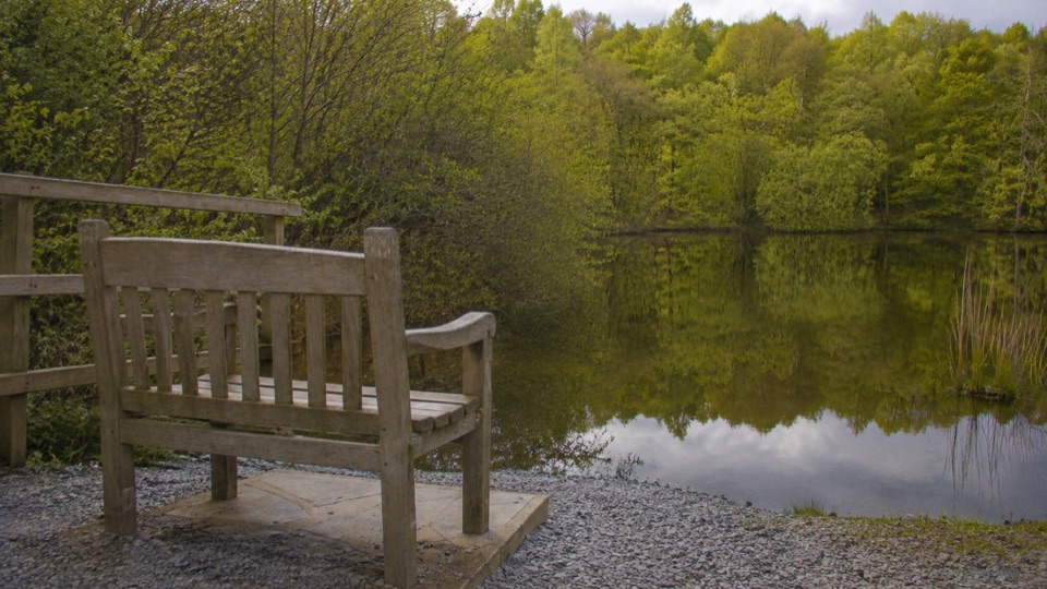 EasyBroughton Railway4.5 km · 1.3 hr · 11.4 km awayGentle old railway line past two tarns, with a rougher far end
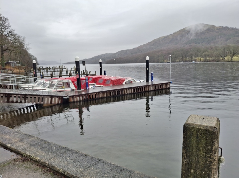 ModerateWest Windermere Way5.9 km · 2.5 hr · 11.5 km awayA short route blending lakeshore, railway, woodland, and fell views
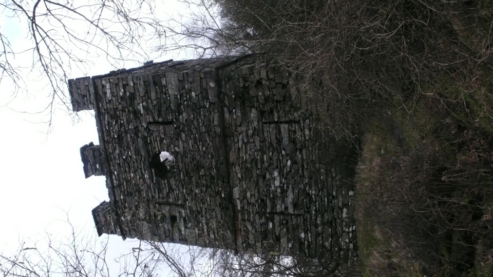 ModerateFinsthwaite Tower and The Knott5.6 km · 1.8 hr · 12.5 km awayA short woodland loop to a 1799 naval memorial tower
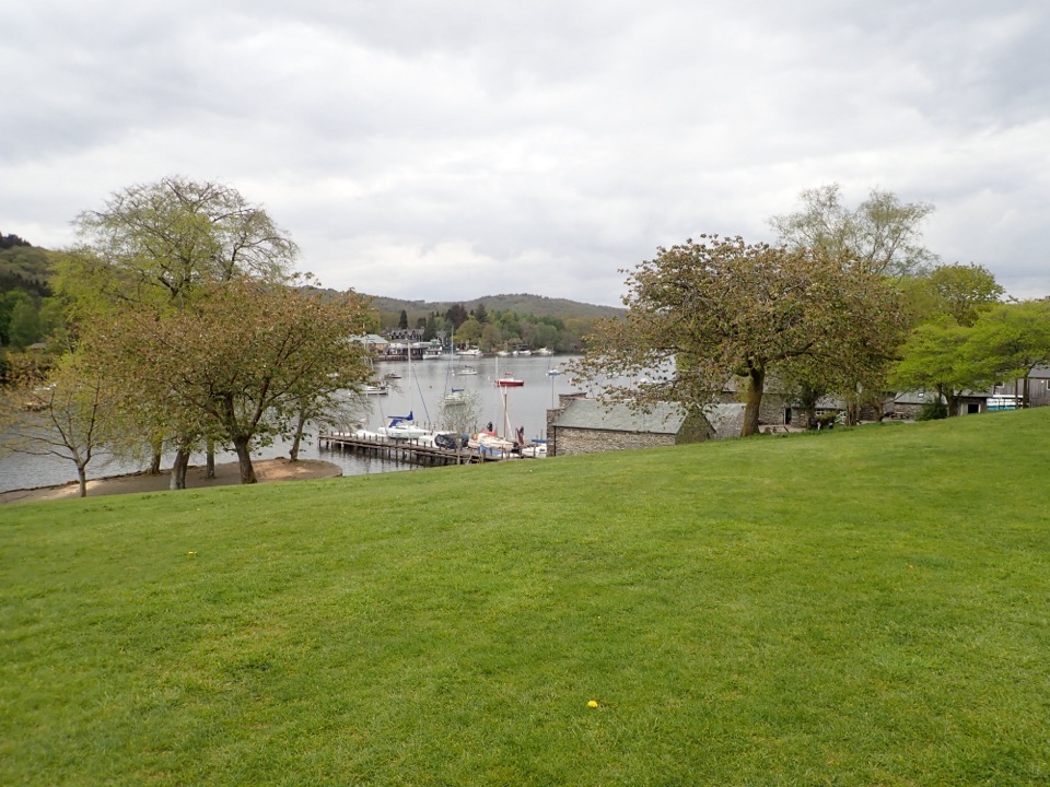 EasyFell Foot Circular Heritage Trail2.6 km · 1 hr · 12.8 km awayLakeshore lawns, wildflower meadow and Gothic boathouses on a gentle loop
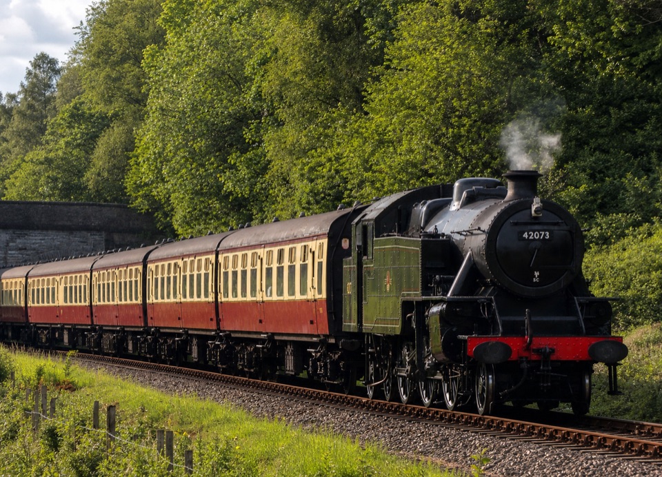 Sight · 8.6 km awayLakeside and Haverthwaite RailwayA steam-era ride through the Leven Valley to Windermere's shore
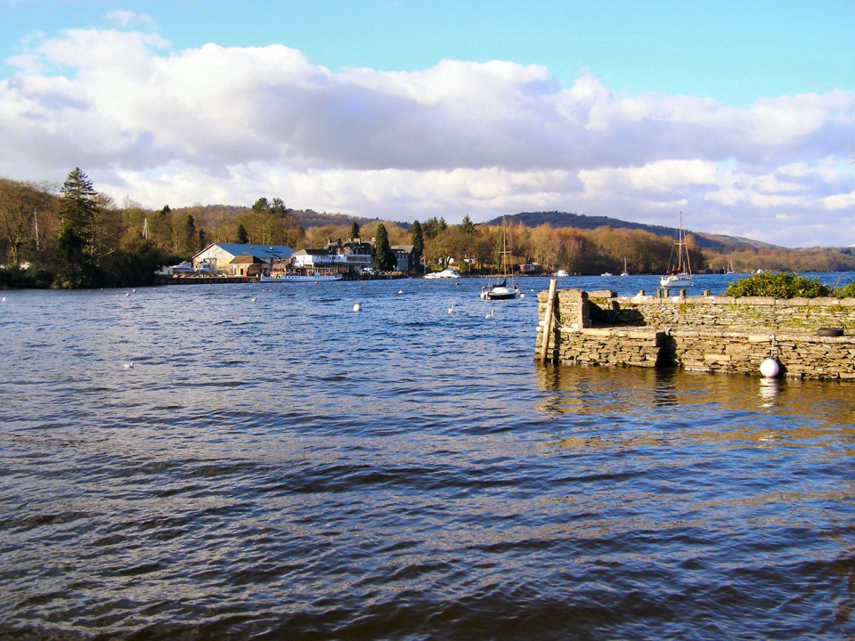 Sight · 12.6 km awayFell FootVictorian boathouses, open lawns, and easy access to Windermere
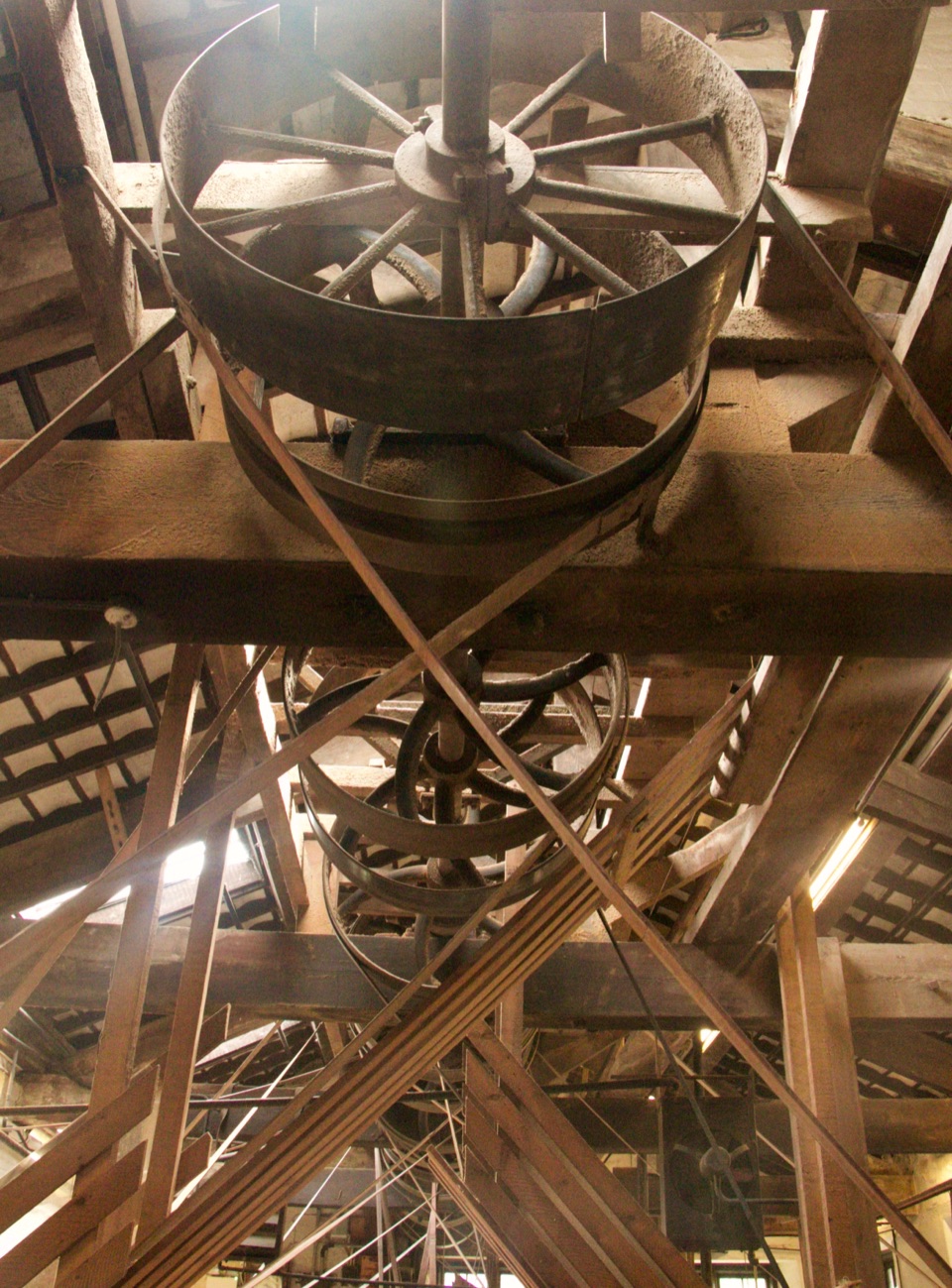 Sight · 13 km awayStott Park Bobbin MillClattering belts and bobbins bring Lakeland's last working mill to life
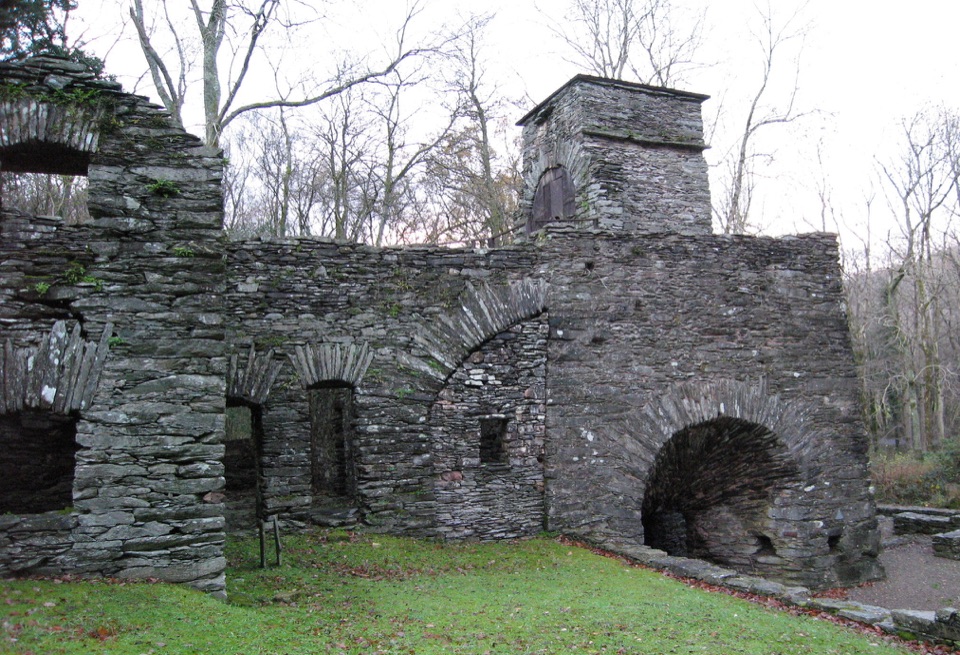 Sight · 13.1 km awayDuddon Iron FurnaceA stone blast furnace tucked beside the Duddon Valley road.
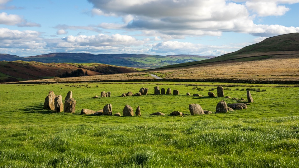 Sight · 14.8 km awaySwinside Stone CircleA remarkably intact Neolithic circle beneath Black Combe
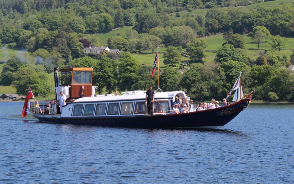 Sight · 15.4 km awayConiston WaterA deep lake of boats, stories, and the Old Man's reflection
Parkwolf’s Lake District ranking

The audio tour guide for the drive, plus offline maps, trails, and wildlife heatmaps for when the signal drops.





