Parking
Use parking in Broughton-in-Furness near Market Square, then walk to the railway-start access by the Parsonage Room. Toilets and refreshments are in town rather than along the path; park without blocking local access.
Lake District National Park, EN
Gentle old railway line past two tarns, with a rougher far end
Overview
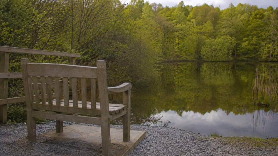
From the railway start access near the Parsonage Room in Broughton-in-Furness, the path climbs gently along the old track bed. The first section of roughly 2 km has an improved compacted stone surface with a gradual ascent and no steep gradients. Along the way there is a bench with views near two small tarns on the Broughton Tower estate, a natural place to pause before turning back. The improved surface ends just past Mireside Farm at the signed turnaround, and the path beyond that point is rougher underfoot.
 Parkwolf’s verdictThe walk and the payoff
Map & elevation
Plan your hike

The highest, rockiest slopes around here are a summer buffet for grizzly bears.
Lake District Tour Guide
Parkwolf is a GPS audio tour guide for Lake District National Park. As you drive, it chimes in with what’s ahead: hidden gems, upcoming stops, history, geology, and wildlife, right through your car’s speakers.
Recorded for this trailhead
Broughton Railway: A Gentle Walk to the Tarns“You're coming up on the Broughton Railway walk, a gentle outing through fields and woodland with two small tarns along the way.”
Plays as you drive up to this trailhead in the Parkwolf Lake District Tour Guide.
More stories near here in the app
“Fantastic app with many points of information… It’s great to just turn on while you’re driving and it gives you an audio tour of the national Park. We love it!!!!”


Trail guide
This is an out and back walk along the old Broughton to Coniston railway line, which closed in 1958. The complete visitor distance is 4.5 km, which is the full return outing; the physical corridor is stored once as a single line, so you walk it in both directions. Allow about 1 to 1.5 hours depending on pace and stops.
Easy overall, with a steady gentle rise rather than climbs. Footing is compacted stone on the improved section and rougher ground once you pass the improved surface. The corridor is mostly open or lightly wooded, so shade is limited and there is no technical exposure. Be honest with yourself about the far end: it is the roughest part of the outing, and many visitors turn at the signed turnaround.
The walk is presented as a Miles Without Stiles route for all, and the improved compacted stone section is the part best suited to wheels and pushchairs. It is not a fully surfaced accessible route from end to end, because the ground past Mireside Farm is rougher. Mobility scooters should be class 2 or 3.
The path can also be reached through Wilson Park, but the short connecting link between the park and the railway path is steep and rough and suits only some users. That connector is not part of the stored railway path route, so plan for it separately if you use it. There are no facilities along the path itself. Parking, toilets and refreshments are available in Broughton-in-Furness.
The route is a public bridleway, so expect to share it with riders and cyclists. Local guidance asks walkers to keep dogs close around the farm.
The bench near the two small tarns is the most rewarding stop for photos, and the straight, level lines of the old track bed make simple framing easy in either direction.
Wildlife
 81 sightingsRed DeerMost seen around 7 PMSighting map
 13 sightingsEurasian OtterMost seen around 6 AMSighting map
 76 sightingsOspreyMost seen around 8 AMSighting map
 51 sightingsEuropean BadgerMost seen around 8 PMSighting map
 233 sightingsMute SwanMost seen around 6 PMSighting map
 176 sightingsGrey HeronMost seen around 7 AMSighting map
Sighting maps show where each species has been reported across Lake District. Wildlife moves, so no sighting is guaranteed.
Keep exploring
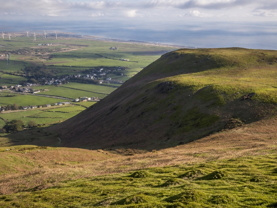 ModerateBlack Combe Summit Trail7.6 km · 3.5 hr · 9.2 km awaySteep grassy climb to a coastal fell summit with huge sea views
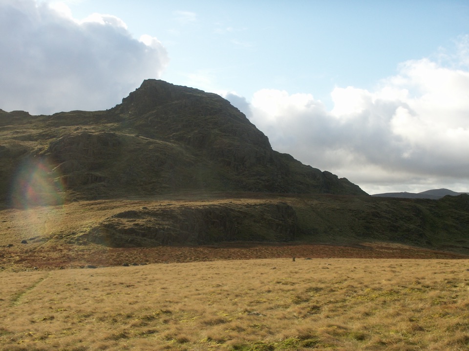 ModerateGreen Crag from Birker Fell6.6 km · 3 hr · 10.3 km awayA short, pathless fell loop with a surprisingly big summit view
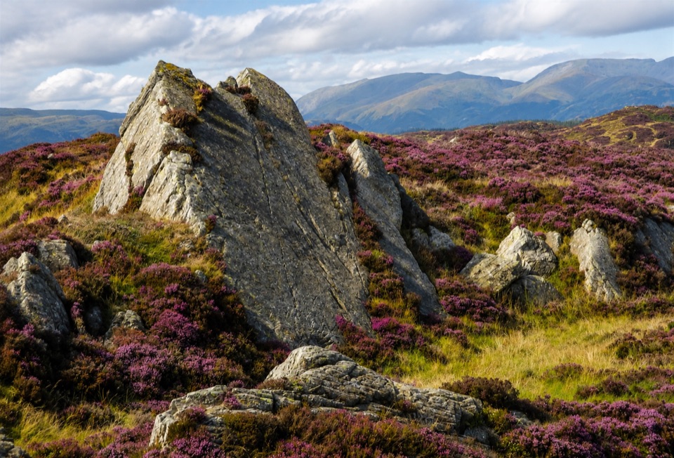 ModerateGreenwood Trail 4: Oxen Park to Bethecar Moor13 km · 4.5 hr · 10.4 km awayRough, quiet loop over Bethecar Moor's open fell and Grizedale woods
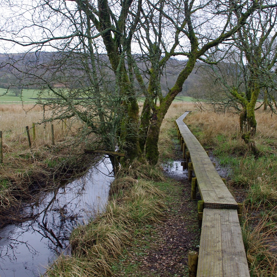 ModerateGreenwood Trail 1: Old Hall Farm to Rusland Moss and Hay Bridge8.7 km · 4.5 hr · 11.4 km awayA 5.4-mile loop over raised bog boardwalks, coffin road and quiet lanes
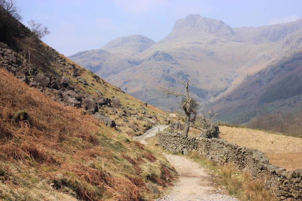 ChallengingCumbria Way116.7 km · 1.5 days · 11.4 km awayA classic five-day crossing through lakes, valleys, and open fell
 ModerateRusland Valley and Yewbarrow13.7 km · 4.5 hr · 11.8 km awayGunpowder tramway, tidal river fields, ancient yews and open fell views
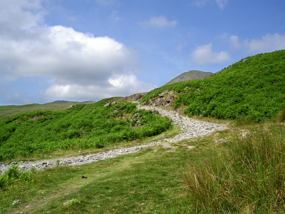 ModerateWalna Scar, White Maiden and White Pike10.9 km · 4.5 hr · 12.1 km awayThree quiet summits above the Walna Scar road
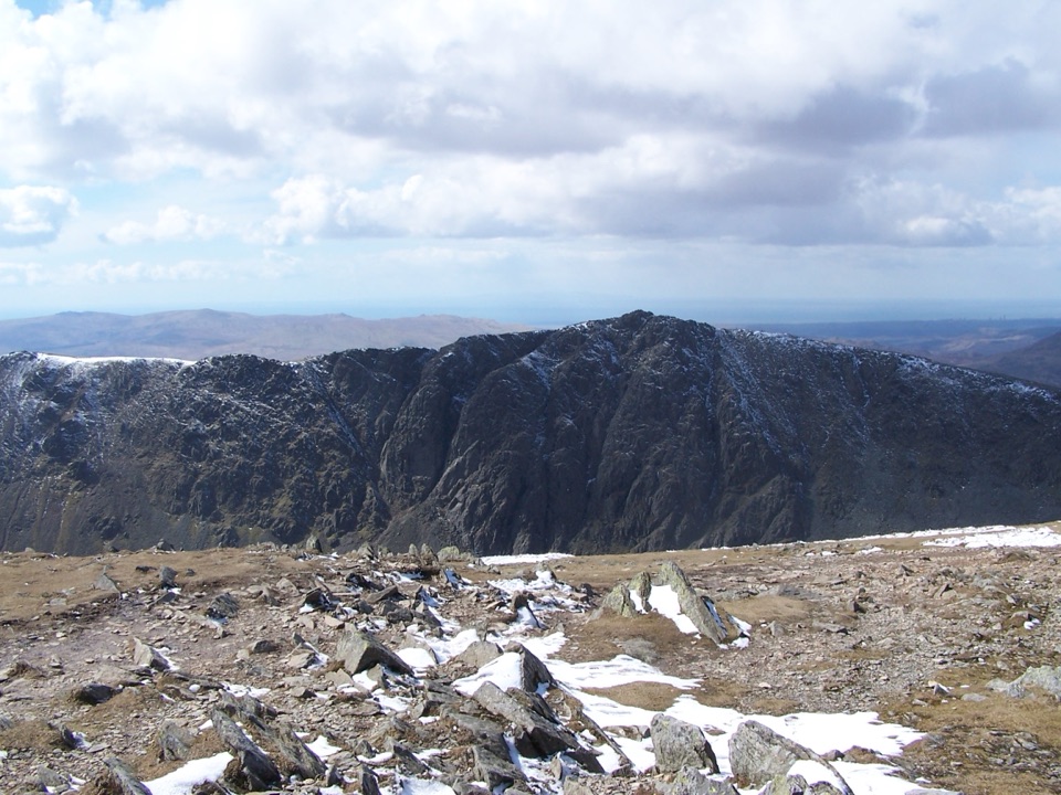 ChallengingOld Man of Coniston via Dow Crag10 km · 4.5 hr · 12.1 km awayRugged summit loop over Dow Crag, Goat's Water, and the Old Man
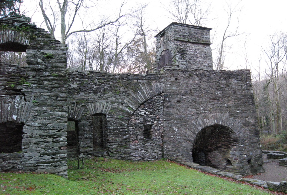 Sight · 1.8 km awayDuddon Iron FurnaceA stone blast furnace tucked beside the Duddon Valley road.
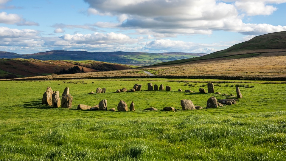 Sight · 4.2 km awaySwinside Stone CircleA remarkably intact Neolithic circle beneath Black Combe
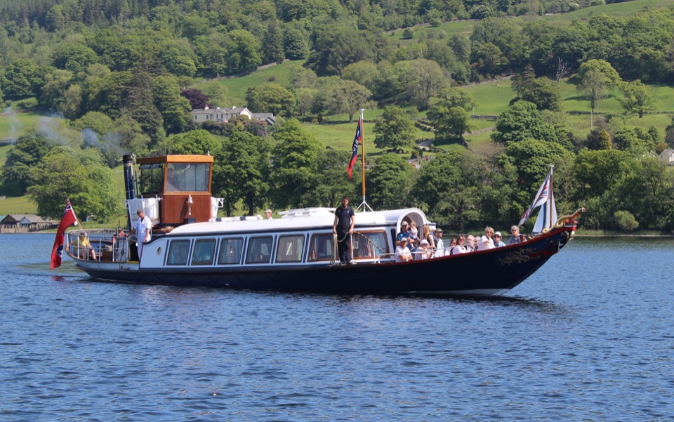 Sight · 10.9 km awayConiston WaterA deep lake of boats, stories, and the Old Man's reflection
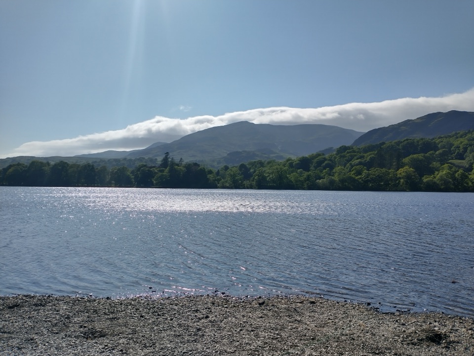 Sight · 11.9 km awayOld Man of ConistonA slate-scarred summit with wide views over the southern Lakes
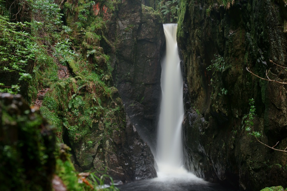 Sight · 12.6 km awayStanley GhyllA mossy ravine, footbridges, and a 60-foot waterfall
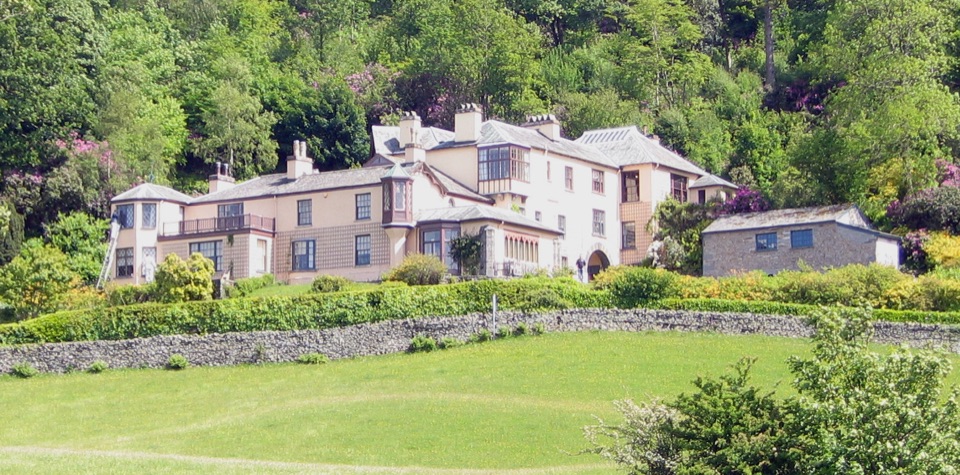 Sight · 13 km awayBrantwoodRuskin's house, winding gardens, and a big Coniston Water view
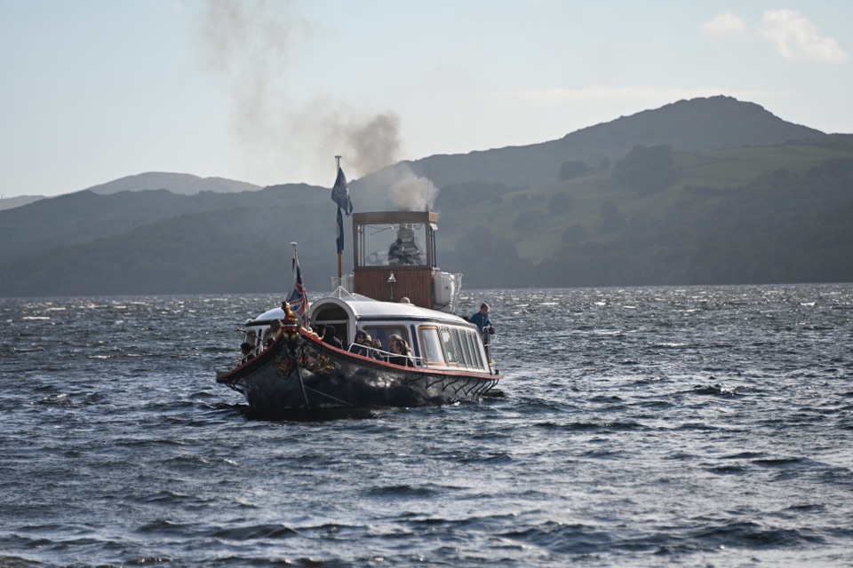 Sight · 13.4 km awaySteam Yacht GondolaA Victorian steam yacht gliding beneath Coniston's fells
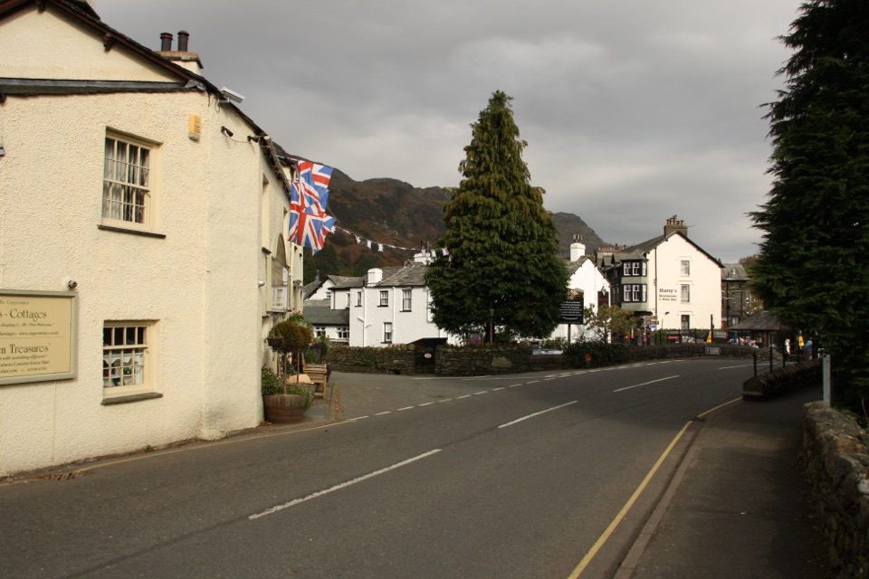 Sight · 13.4 km awayConiston VillageA characterful village base beneath the Old Man of Coniston
Parkwolf’s Lake District ranking
The audio tour guide for the drive, plus offline maps, trails, and wildlife heatmaps for when the signal drops.





