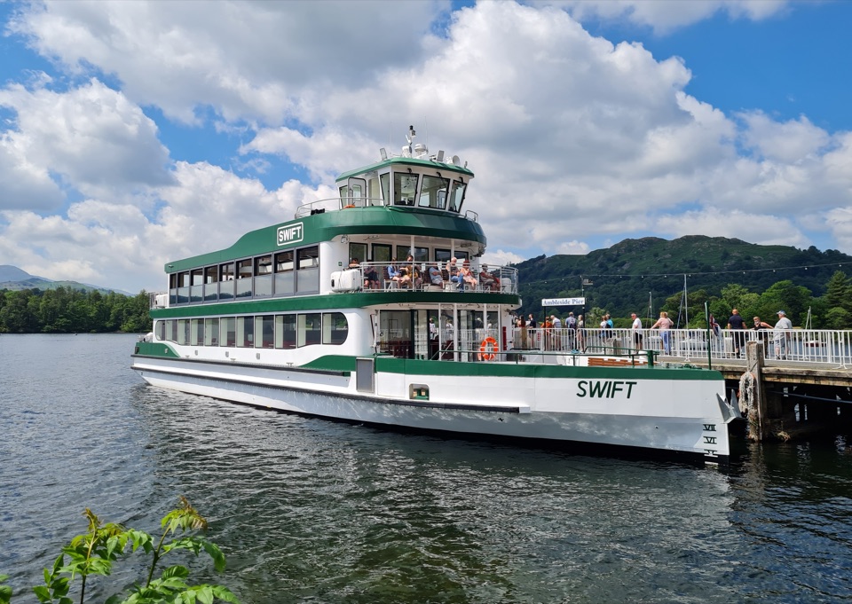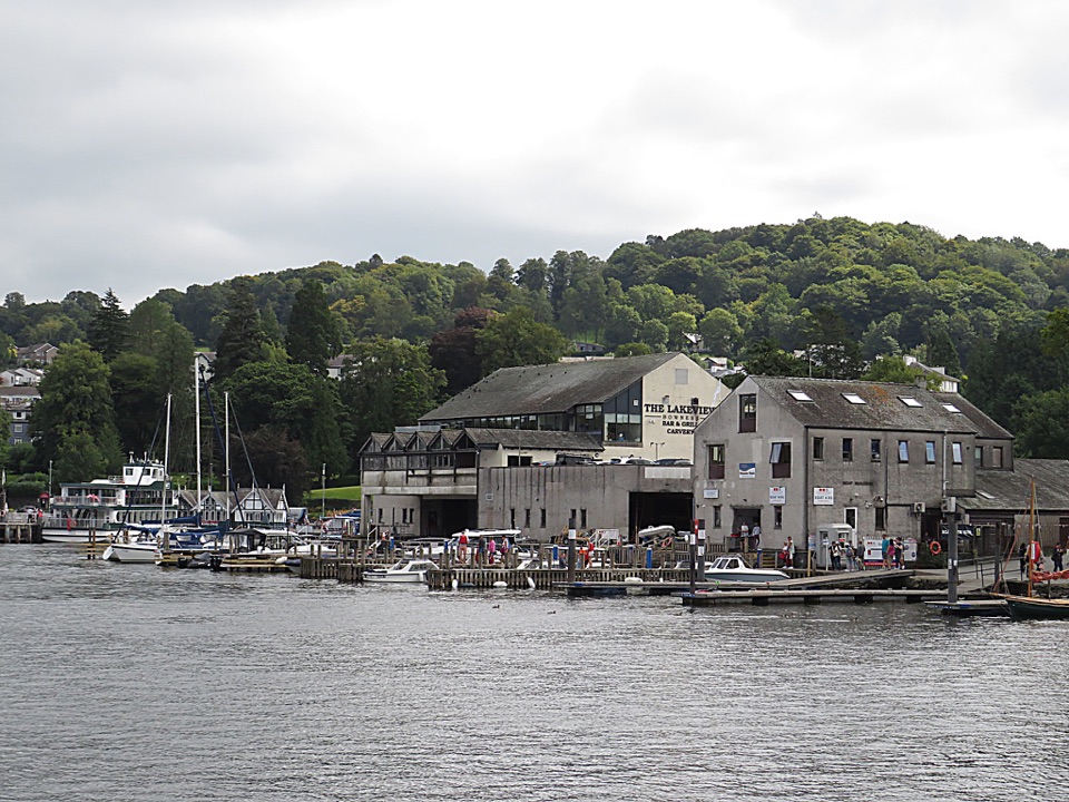
Windermere West Shore Walk in Lake District National Park

Lake District National Park, EN

Windermere West Shore Walk

A quiet lakeshore route to Claife views and Wray Castle

Photo: Wikimedia Commons
Length
12.9km
Time
3hr
Elev. change
58m
Difficulty
Moderate
  • Dogs allowed
  • High point 97 m
  • #126 of 265 in Lake District

Hear the audio tour

Claife Viewing Station: Colour and Shore

Overview

About Windermere West Shore Walk

This is an 8-mile (12.8 km) out-and-back, measured from Ash Landing to Wray Castle and back. The map follows the physical west-shore corridor once, since the return uses the same path. You can make it a one-way outing by arranging a boat from Wray Castle Jetty or by using the route as a walk-and-return trip.

Why go

  • Views across the lake and islands almost throughout
  • A gentle route with real variety, from woodland to castle

Heads up

  • Linear logistics require a boat, a second car, or a return walk
  • Short road sections, gates, and soft ground slow the pace
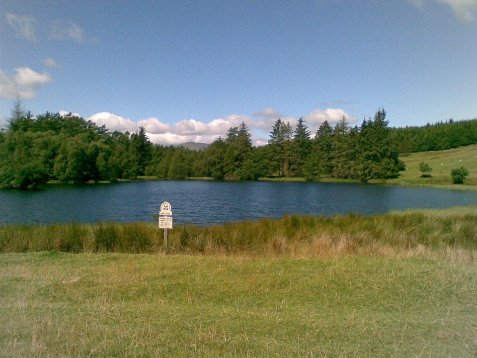
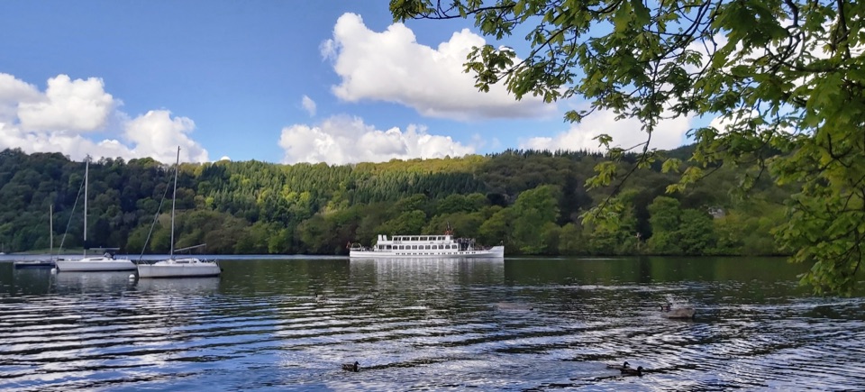
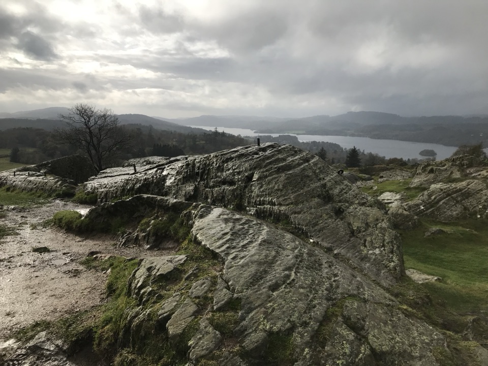
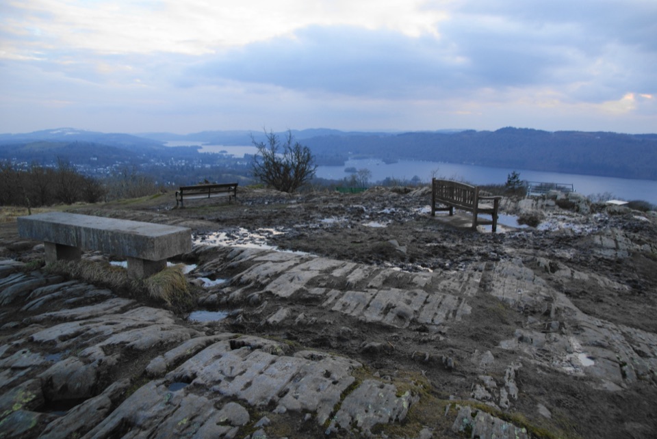
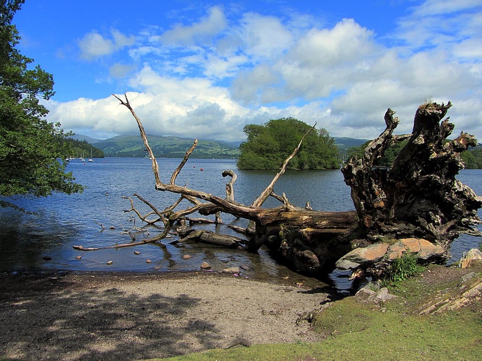
The west shore gives changing views across Windermere to the islands, Belle Isle, Bowness, and the Troutbeck hills. Claife Viewing Station is the route's standout viewpoint and historical feature, while Bark Barn, the boathouses, and Wray Castle keep the walk from becoming a simple shoreline trudge. Early or late light is best for reflections and for picking out the layers of hills across the water.
Parkwolf’s verdictThe payoff

Map & elevation

The route

Loading the Lake District map
Full map
Elevation39–97 m
TrailheadWindermere West Shore Walk54.35026, -2.94368
Keep this map with you offline in the Parkwolf app

Plan your hike

Before you go

Parking

Use the National Trust Ash Landing car park beside Ferry Nab and the car ferry on Windermere's west shore, grid reference SD388954. The walk is linear in practice, so arrange a boat back from Wray Castle Jetty or retrace the route to your car.


Safety

Traffic shares the short tarmac section near Ash Landing and the caravan site. Expect cattle grids, field gates, livestock, and soft or muddy ground around the bays. The full route includes short steep sections and is not suitable for wheelchairs or pushchairs. Keep dogs on leads, especially through farmland and parkland.

8 active Lake District alerts

  • ClosureChapel Stile footpath closed for retaining-wall riskPart of Footpath 543030 between Chapel Stile and Baysbrown campsite is closed because a retaining wall beside the path could collapse and material it supports could fall across the footpath.Official details
  • ClosureStanley Ghyll Lower Falls footpath closed for rockfallThe section of Footpath 408037 leading towards Stanley Ghyll Lower Falls is closed because severe rockfall damage has made the path unstable and further rockfall remains a danger.Official details
See all 8 alerts
A park ranger sits on a dash-mounted phone, talking, as Parkwolf’s Tour Guide plays “Army Cutworm Moths: A Grizzly Bear Buffet” on Grand Loop Road below Dunraven Pass in Yellowstone
Parkwolf Tour GuideThe highest, rockiest slopes around here are a summer buffet for grizzly bears.

Lake District Tour Guide

Your drive to Windermere West Shore Walk, narrated.

Parkwolf is a GPS audio tour guide for Lake District National Park. As you drive, it chimes in with what’s ahead: hidden gems, upcoming stops, history, geology, and wildlife, right through your car’s speakers.

Recorded for this trailhead

Claife Viewing Station: Colour and Shore
0:00 / 1:21
“You're about to reach the Ash Landing area for Claife Viewing Station, where coloured glass gives you a playful way to look across Windermere.”

Plays as you drive up to this trailhead in the Parkwolf Lake District Tour Guide.

More stories near here in the app

  • Blackwell: A House Full of Craft
  • Hill Top and Moss Eccles Tarn
  • Windermere at Bowness
  • Bowness: Beatrix Potter or Brant Fell
  • 298 audio storiesacross Lake District’s roads, triggered by GPS as you drive
  • Wildlife heatmapsfor Red Deer, Eurasian Otter, Osprey, and 13 more
  • Works offlinemaps, 265 trails, 89 places, and audio download before you lose signal
  • CarPlay readysimple controls built for the drive
★★★★★
“Fantastic app with many points of information… It’s great to just turn on while you’re driving and it gives you an audio tour of the national Park. We love it!!!!”
JMJamesApp Store review
Download Parkwolf on the App StoreGet Parkwolf on Google Play

4.7 from 8,600+ ratings

Trail guide

Hiking Windermere West Shore Walk

The walkLeave Ash Landing and pass Claife Viewing Station before following tarmac through woodland,…

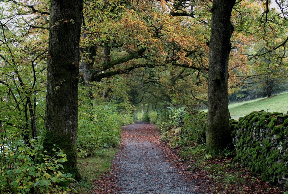
Leave Ash Landing and pass Claife Viewing Station before following tarmac through woodland, meadow, and farmland. The route then becomes a gravel and stone track past Strawberry Gardens, Bark Barn, Belle Grange, and Red Nab. Beyond Red Nab, the path stays close to the lake, passing boathouses and field gates before crossing the parkland at High Wray. The final section runs through Watbarrow Wood to Wray Castle and its jetty.

What it feels likeThis is a low-level lakeshore walk with a surprisingly varied surface: tarmac, gravel, stony…

This is a low-level lakeshore walk with a surprisingly varied surface: tarmac, gravel, stony track, and grass. It is mostly gentle, but there are a few short steep sections, gates, cattle grids, and soft patches near the bays. The first road section carries local traffic and can feel less tranquil than the woodland and shoreline beyond it. Allow about three hours for the full return, or roughly 1½ to 2½ hours if you walk one way without long stops.

Planning and dogsLate spring through early autumn usually gives the most forgiving combination of daylight and…

Late spring through early autumn usually gives the most forgiving combination of daylight and ground conditions. Winter can be beautiful but brings shorter days and wetter tracks. The route is not a pushchair or wheelchair walk in its full form, although the lower section toward Strawberry Gardens is smoother and more accessible. Dogs are welcome on leads. Keep them close around livestock, gates, and wildlife, and expect the lakeshore ground to be wet after rain.

Wildlife

Wildlife in Lake District

All Lake District wildlife maps

Sighting maps show where each species has been reported across Lake District. Wildlife moves, so no sighting is guaranteed.

Keep exploring

Near Windermere West Shore Walk

See it all on the map

Trails that start nearby

Places near the trailhead

Parkwolf’s Lake District ranking

Top-rated trails in Lake District

All 265 trails
  1. 1Scafell Pike via Hollow Stones from WasdaleChallenging · 9 km
  2. 2Helvellyn via Striding Edge and Swirral EdgeChallenging · 12.4 km
  3. 3CatbellsModerate · 6.6 km
  4. 4The Old Man of ConistonChallenging · 9 km
  5. 5Buttermere CircularEasy · 7.6 km
  6. 6The Fairfield HorseshoeChallenging · 17.2 km

Take Parkwolf to Lake District.

The audio tour guide for the drive, plus offline maps, trails, and wildlife heatmaps for when the signal drops.

4.7 from 8,600+ ratings

Download Parkwolf on the App StoreGet Parkwolf on Google Play