Parking
Start at the National Trust Hill Top car park in Near Sawrey, then walk into the village to the signed route by Anvil Cottage. Parking is limited.
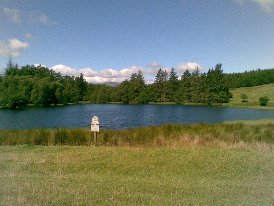
Lake District National Park, EN
A short uphill loop to Beatrix Potter's favourite lily-covered tarn
Overview
A 2.5-mile loop from Hill Top in Near Sawrey up to Moss Eccles Tarn and back through Far Sawrey. The published time is around 50 minutes, but most walkers should allow 1 to 1.5 hours, since the ground is rough in places and the tarn invites a long pause.
Map & elevation
Plan your hike

The highest, rockiest slopes around here are a summer buffet for grizzly bears.
Lake District Tour Guide
Parkwolf is a GPS audio tour guide for Lake District National Park. As you drive, it chimes in with what’s ahead: hidden gems, upcoming stops, history, geology, and wildlife, right through your car’s speakers.
Recorded for this trailhead
Hill Top and Moss Eccles Tarn“Up ahead is Hill Top in Near Sawrey, Beatrix Potter's farmhouse and a chance to step into the settings of her books. She bought it in 1905 with money earned from The Tale of Peter Rabbit.”
Plays as you drive up to this trailhead in the Parkwolf Lake District Tour Guide.
More stories near here in the app
“Fantastic app with many points of information… It’s great to just turn on while you’re driving and it gives you an audio tour of the national Park. We love it!!!!”


Trail guide
From the village you turn by Anvil Cottage, pass the cottages on Stoney Lane and climb steadily on lane and stony bridleway through a gate signed for Claife Heights and Moss Eccles Tarn. The tarn itself is the turning point: a small, quiet sheet of water fringed by trees. From there you retrace a short way to a fork, bear toward Far Sawrey and Cuckoo Brow Lane, then loop back on lanes and field paths, crossing Wilfin Beck before reaching Near Sawrey again.
The climb opens up views back toward Esthwaite Water and the Coniston fells. In summer, water lilies sit on the tarn's surface and trout move in the shallows. This is farmed, walled, wooded Lakeland rather than open high fell, and the reward is stillness rather than a summit panorama.
Easy overall, with several short steep sections. Surfaces are farm tracks, a stony bridleway, quiet lanes and rough paths, and the route can be muddy after wet weather. The bridleway can carry running water after rain, so boots or sturdy shoes are worth wearing year round.
Moss Eccles Tarn was one of Beatrix Potter's favourite places. She painted and sketched here, and her husband William Heelis fished the water. Starting at Hill Top ties the walk directly to the landscape behind her books.
This loop deliberately stops short of the longer Claife Heights and Windermere west-shore extensions, which are rougher and need more navigation. For a gentler, more developed lakeside circuit nearby, the Tarn Hows circular walk is an easy alternative.
Wildlife
 81 sightingsRed DeerMost seen around 7 PMSighting map
 13 sightingsEurasian OtterMost seen around 6 AMSighting map
 76 sightingsOspreyMost seen around 8 AMSighting map
 51 sightingsEuropean BadgerMost seen around 8 PMSighting map
 233 sightingsMute SwanMost seen around 6 PMSighting map
 176 sightingsGrey HeronMost seen around 7 AMSighting map
Sighting maps show where each species has been reported across Lake District. Wildlife moves, so no sighting is guaranteed.
Keep exploring
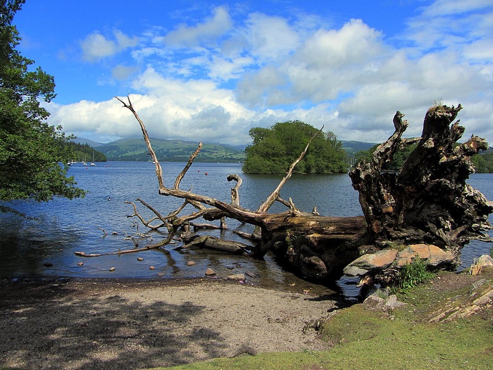 ModerateWindermere West Shore Walk12.9 km · 3 hr · 1.8 km awayA quiet lakeshore route to Claife views and Wray Castle
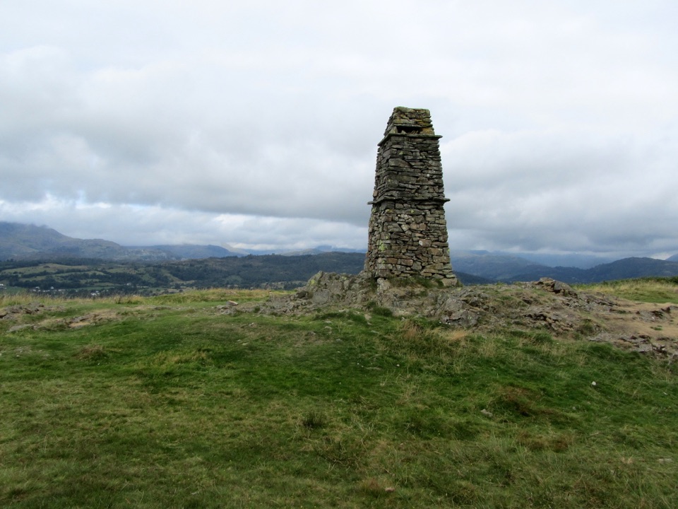 ModerateLatterbarrow from Hawkshead7.4 km · 2.8 hr · 2.9 km awaySteep beacon-topped climb with wide Windermere and Langdale views
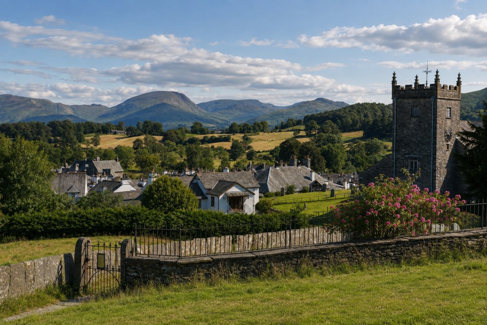 EasyHawkshead to Loanthwaite Lane2 km · 1 hr · 3.1 km awayEasy stone tracks and hedged lanes through meadows north of Hawkshead
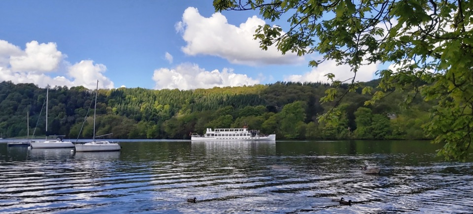 EasyBowness to Cockshott Point1.8 km · 1 hr · 3.3 km awayMostly level lakeshore loop with Belle Isle views, one short steep climb
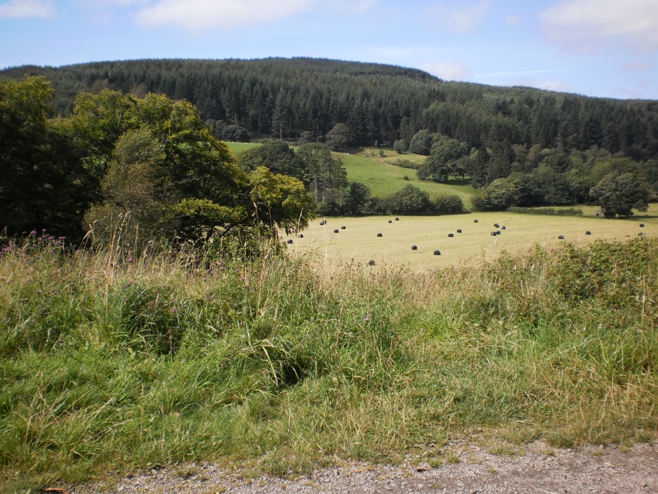 EasyRidding Wood Trail1.6 km · 45 min · 3.6 km awayA gentle tarmac loop through oak woodland and sculpture-lined forest
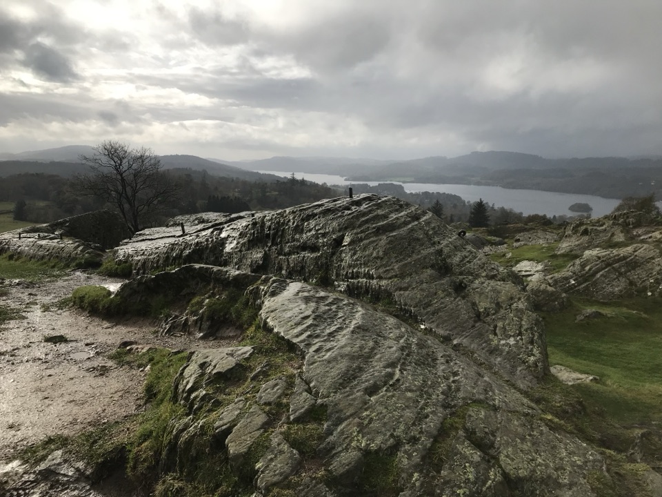 ModerateBrant Fell above Bowness-on-Windermere3.4 km · 1.8 hr · 3.6 km awayA steep 2.1 mile loop from Bowness to big Windermere views
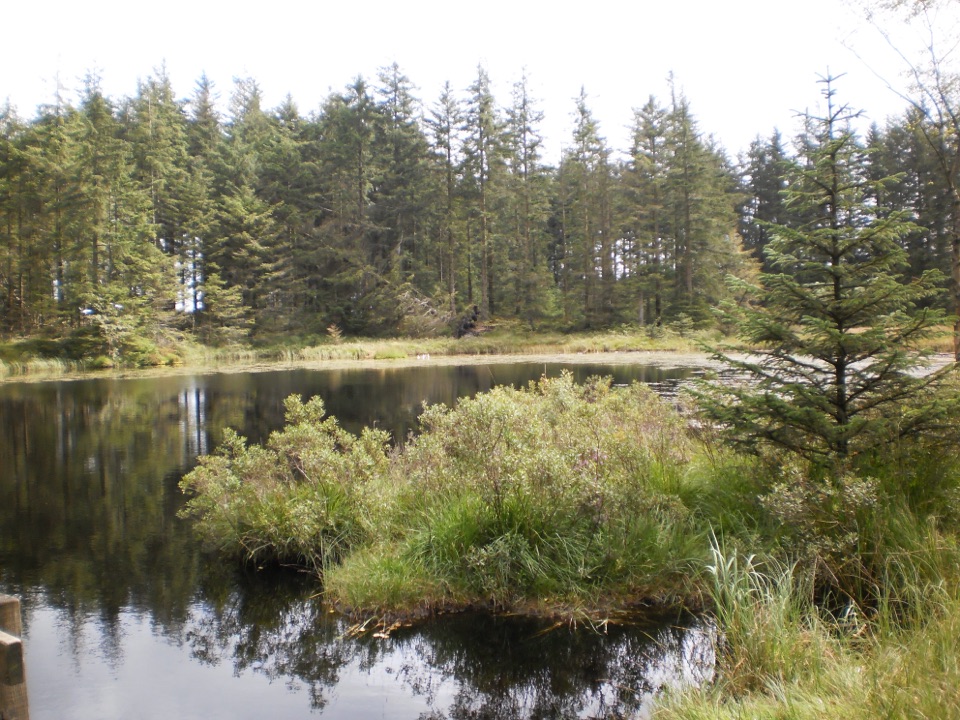 ModerateGrizedale Tarn Trail7.2 km · 2 hr · 3.6 km awayTurquoise markers to the forest's only natural tarn and Mark's Bridge
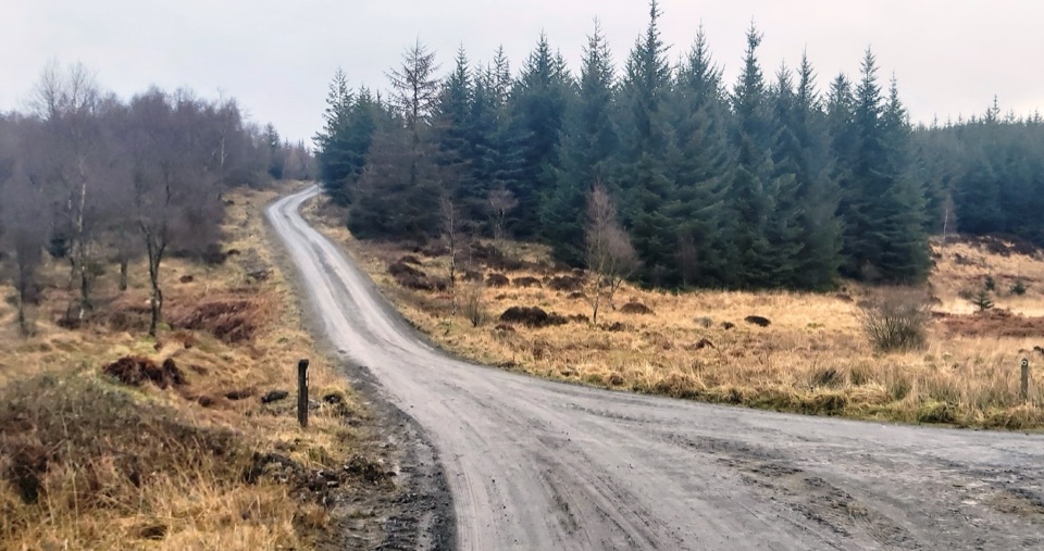 ModerateGrizedale West Multi-user Accessible Trail10.5 km · 3.5 hr · 3.6 km awayForest tracks and bridleways to a waterfall, sculpture and fell views
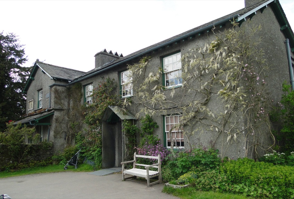 Sight · 0.1 km awayHill TopStep inside Beatrix Potter's farmhouse and the stories it inspired
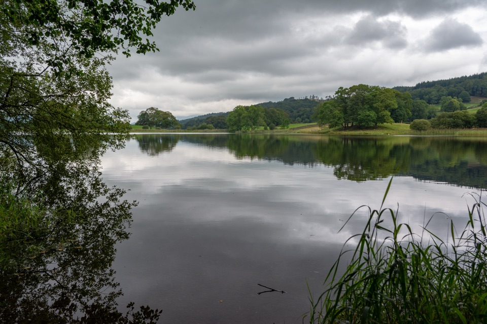 Sight · 1.2 km awayEsthwaite WaterA quiet lake for fell reflections, wildlife, and slow waterside walks
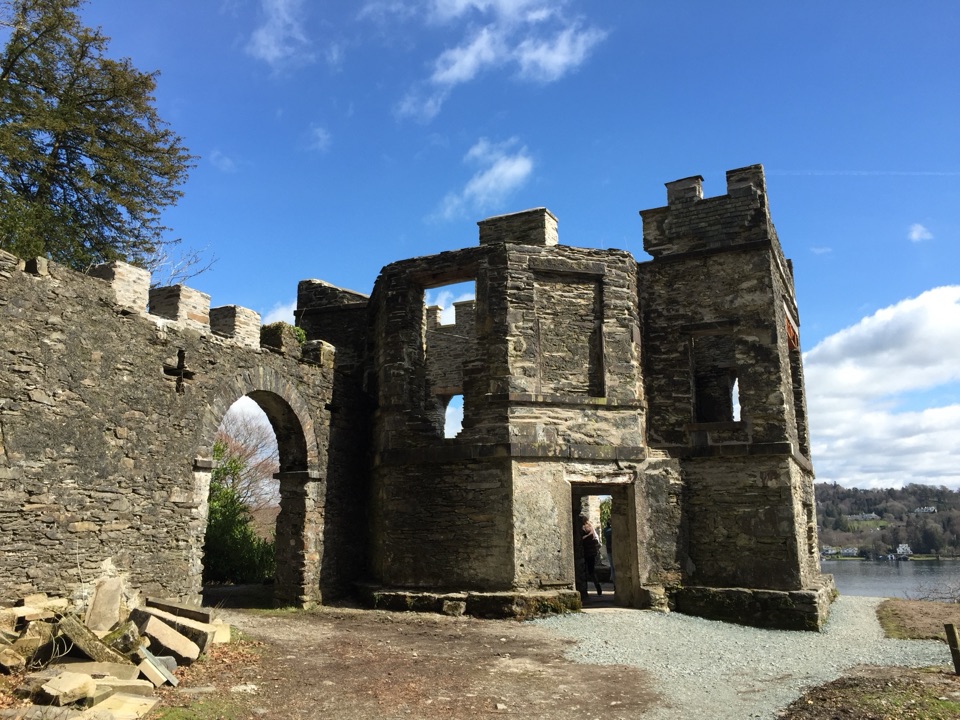 Sight · 1.9 km awayClaife Viewing StationA restored 1790s viewpoint with colour-framed Windermere views
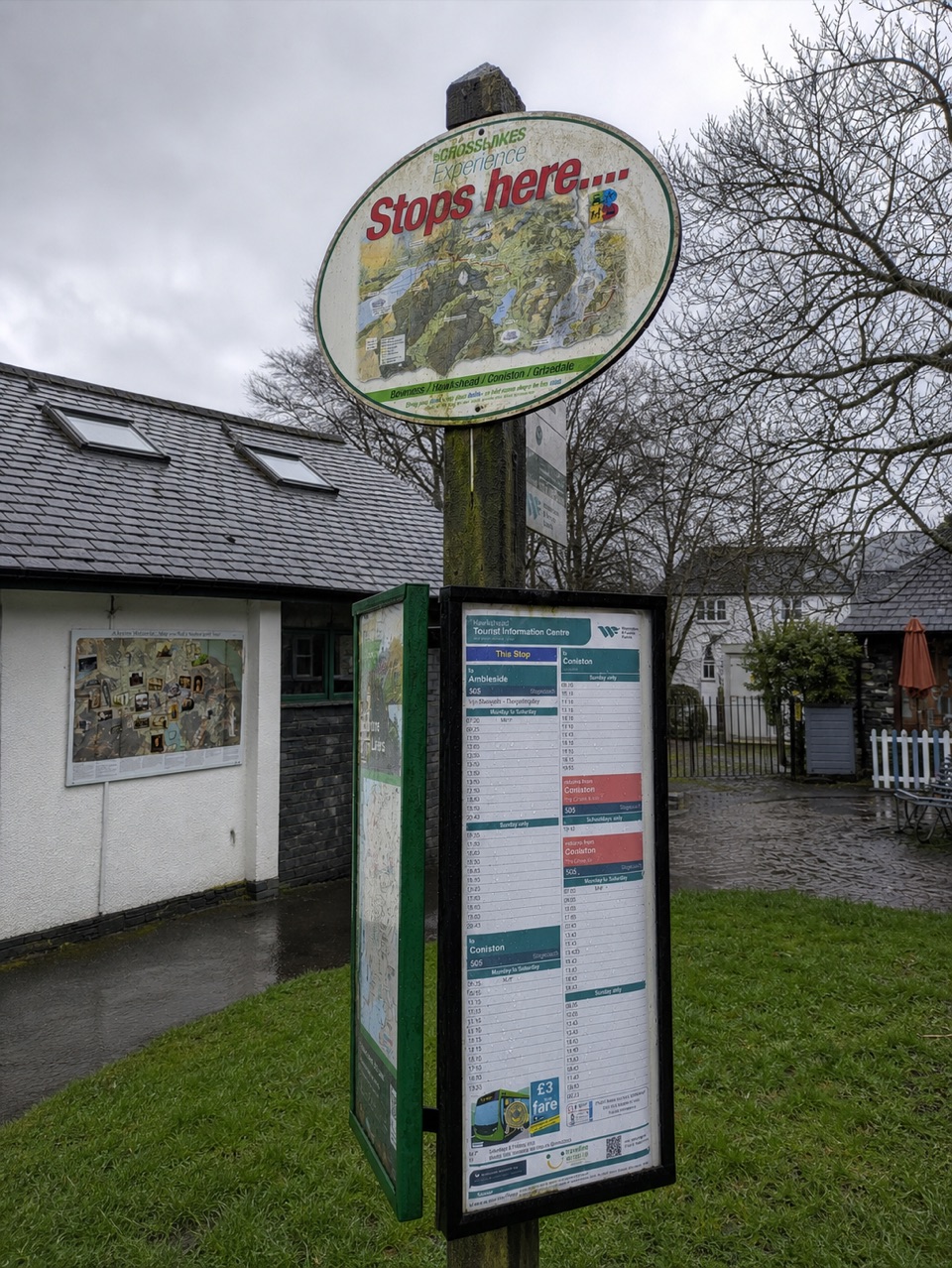 Visitor center · 3 km awayHawkshead Information CentreYour base for Hawkshead walks, bikes, and onward routes
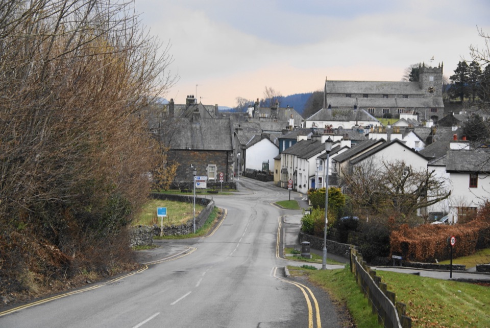 Sight · 3.1 km awayHawksheadCobbled lanes, white cottages, and a church above old market squares
 Sight · 3.2 km awayWindermereEngland's longest lake, lined with wooded shores and mountain views
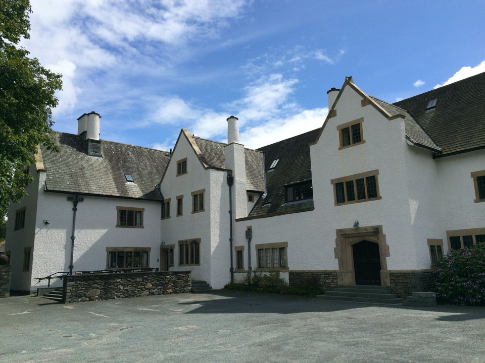 Sight · 3.3 km awayBlackwell, the Arts & Crafts HouseA fully preserved Arts & Crafts house above Windermere
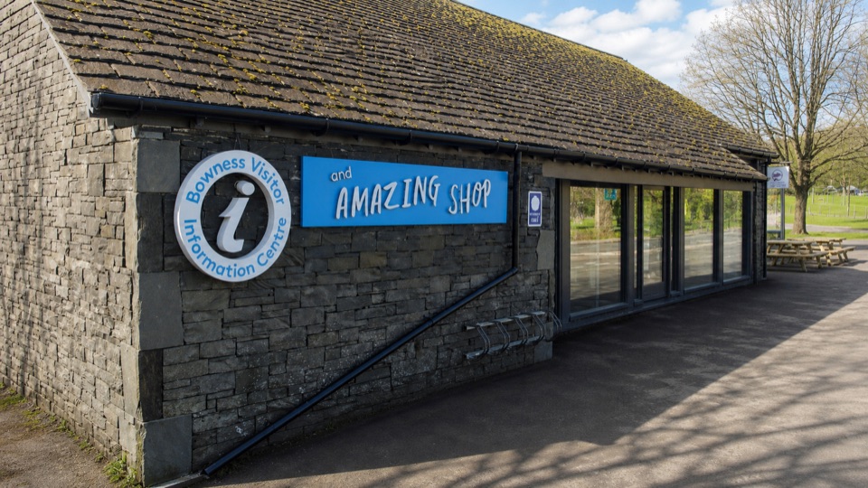 Visitor center · 3.3 km awayBowness on Windermere Information Centre and CaféThe practical lakefront base for Windermere maps, trips, and walks
Parkwolf’s Lake District ranking

The audio tour guide for the drive, plus offline maps, trails, and wildlife heatmaps for when the signal drops.





