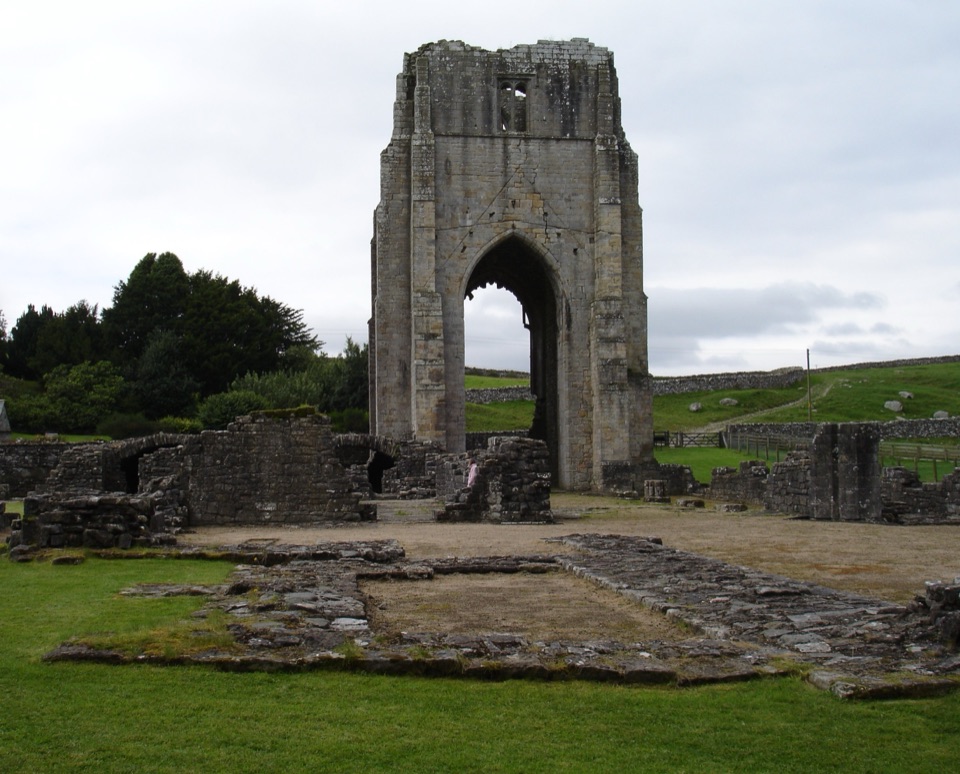
Parking
This is a point-to-point walk designed for car-free travel. Start at Penrith Railway Station. If driving, use public parking in Penrith or at Pooley Bridge and arrange a return by train, bus or boat; do not expect a trailhead parking loop.
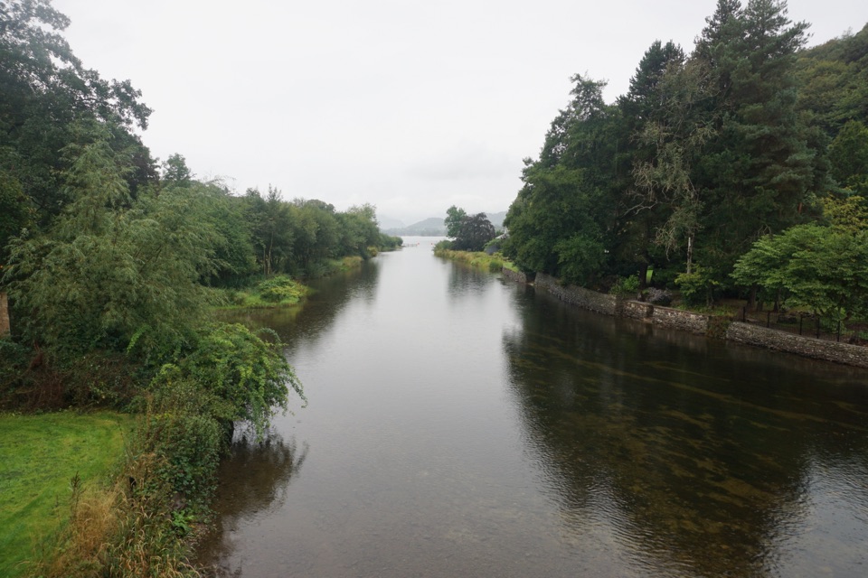
Lake District National Park, EN
A low-level river walk linking Penrith station with Ullswater
Overview
Map & elevation
Plan your hike

The highest, rockiest slopes around here are a summer buffet for grizzly bears.
Lake District Tour Guide
Parkwolf is a GPS audio tour guide for Lake District National Park. As you drive, it chimes in with what’s ahead: hidden gems, upcoming stops, history, geology, and wildlife, right through your car’s speakers.
More stories near here in the app
“Fantastic app with many points of information… It’s great to just turn on while you’re driving and it gives you an audio tour of the national Park. We love it!!!!”


Trail guide
This is a linear, one-way walk of about 5.5 miles from Penrith Railway Station to the Pooley Bridge Steamer Pier. The stored distance is one way, not a round trip, so plan transport at the far end. It follows the River Eamont valley, crosses the river twice, and passes from town streets and signed pedestrian crossings into open fields, wooded stretches, riverside meadows, bridleways and permitted paths.
The route stays low and has no major climb, making it easy to moderate rather than a fell hike. Expect about 2.5 to 3 hours at a normal sightseeing pace. The ground is mostly straightforward but not uniformly smooth: field paths, gates, narrow sections, rougher bridleways and wet grass can be muddy after prolonged rain. It is not generally suitable for wheelchairs or standard pushchairs.
Start by public transport at Penrith Railway Station. Shops, cafés and station facilities are close to the start, while Pooley Bridge has food, shops, toilets and onward bus or boat connections. Dogs are welcome but keep them on a lead around livestock, farmland and wildlife, close gates and stay on the signed route. Do not stray into nearby farms. A comparable choice is the Ullswater Way if you want a longer lakeside outing, but this route is the better car-free link between rail and Ullswater.
Wildlife
 81 sightingsRed DeerMost seen around 7 PMSighting map
 13 sightingsEurasian OtterMost seen around 6 AMSighting map
 76 sightingsOspreyMost seen around 8 AMSighting map
 51 sightingsEuropean BadgerMost seen around 8 PMSighting map
 233 sightingsMute SwanMost seen around 6 PMSighting map
 176 sightingsGrey HeronMost seen around 7 AMSighting map
Sighting maps show where each species has been reported across Lake District. Wildlife moves, so no sighting is guaranteed.
Keep exploring
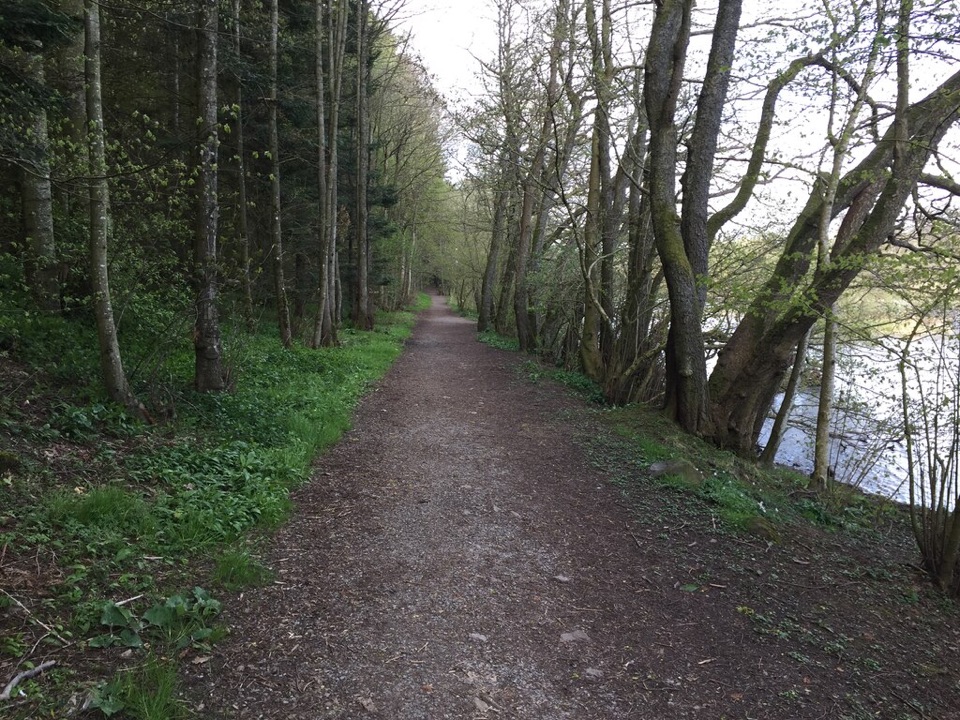 EasyDunmallard Wood, Pooley Bridge0.5 km · 30 min · 6.8 km awayFlat surfaced woodland path to benches beside the River Eamont
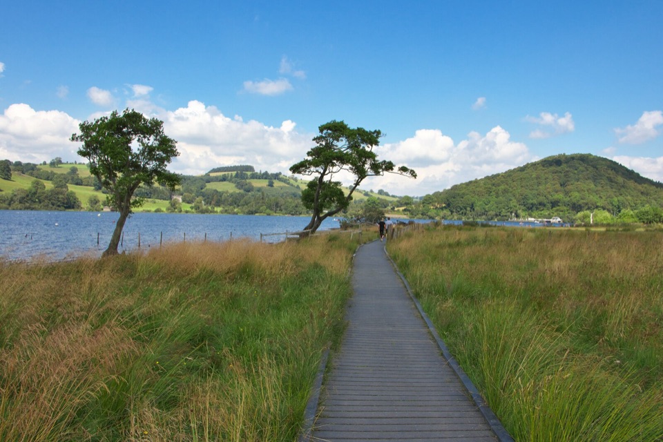 EasyPooley Bridge to Gale Bay1.8 km · 45 min · 6.9 km awayShoreline stroll to a pebbly bay with wide northern Ullswater views
 ModerateDalemain Loop8 km · 3 hr · 6.9 km awayA gentle heritage loop from Ullswater to Dalemain and Dacre
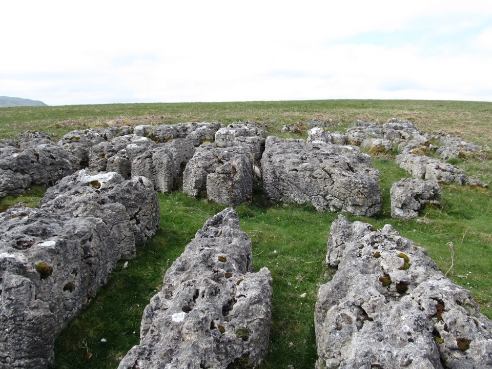 ModerateHeughscar Hill from Pooley Bridge10.3 km · 3 hr · 6.9 km awayVillage lanes, a historic church, then open limestone fell above Ullswater
 ModerateLowther Loop12.1 km · 4 hr · 8 km awayCastle, river, village, and open-fell views in one waymarked loop
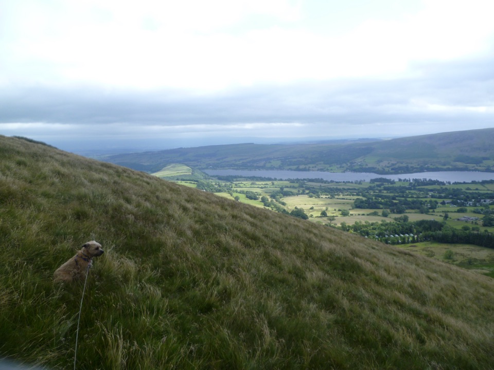 ModerateLittle Mell Fell1.2 km · 40 min · 10.9 km awayA steep little summit with Ullswater views and few frills
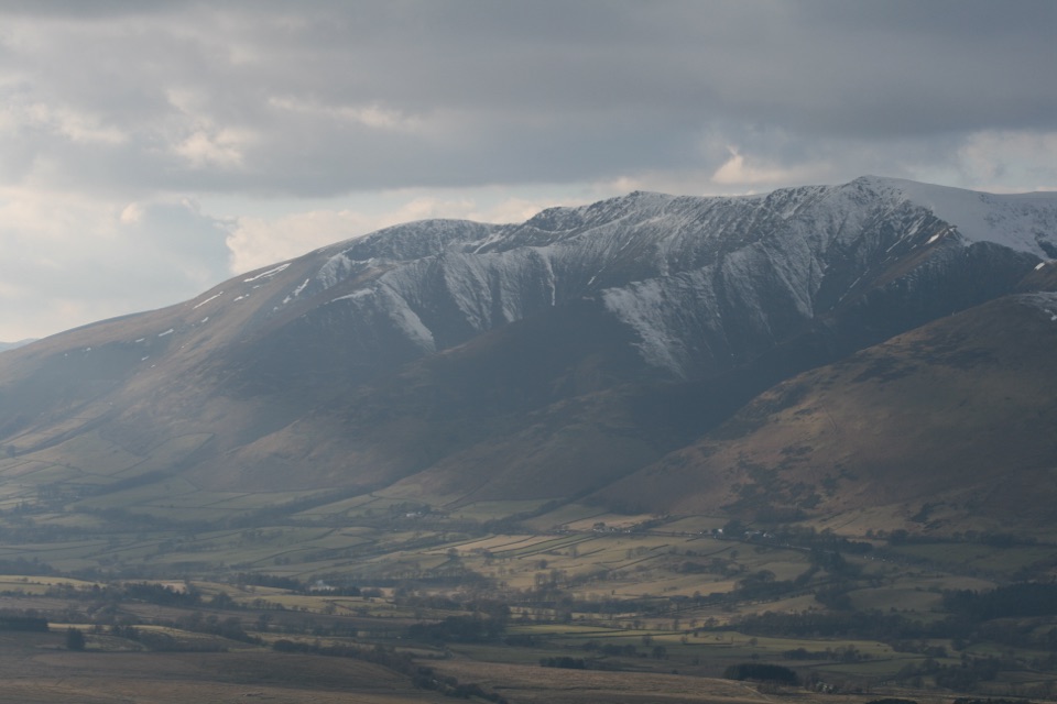 ModerateGreat Mell Fell3.4 km · 1.8 hr · 11.7 km awayA steep little summit with outsized views across the northern Lakes
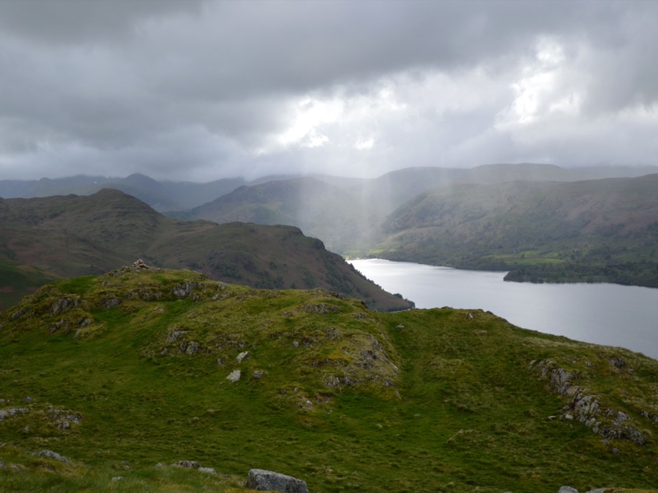 ModerateHallin Fell2.2 km · 1.8 hr · 13.1 km awaySteep grassy mile to a giant obelisk high above Ullswater
Parkwolf’s Lake District ranking

The audio tour guide for the drive, plus offline maps, trails, and wildlife heatmaps for when the signal drops.