Dalemain Loop in Lake District National Park

Lake District National Park, EN

Dalemain Loop

A gentle heritage loop from Ullswater to Dalemain and Dacre

Photo: Wikimedia Commons
Length
8km
Time
3hr
Elev. change
59m
Difficulty
Moderate
  • Loop
  • Dogs allowed
  • High point 203 m

Hear the audio tour

Ullswater Walks from Pooley Bridge

Overview

About Dalemain Loop

This is a 5-mile (8 km) circular walk from Pooley Bridge, measured as the complete loop. It is a low-level heritage walk with a little rolling ground, rather than a mountain hike, and usually takes about three hours at an unhurried pace.

Why go

  • A lot of heritage and scenery for modest effort
  • River, estate, castle, church and fell views in one loop

Heads up

  • Two roadside sections beside the A592
  • Fields, gates and lanes can be wet underfoot
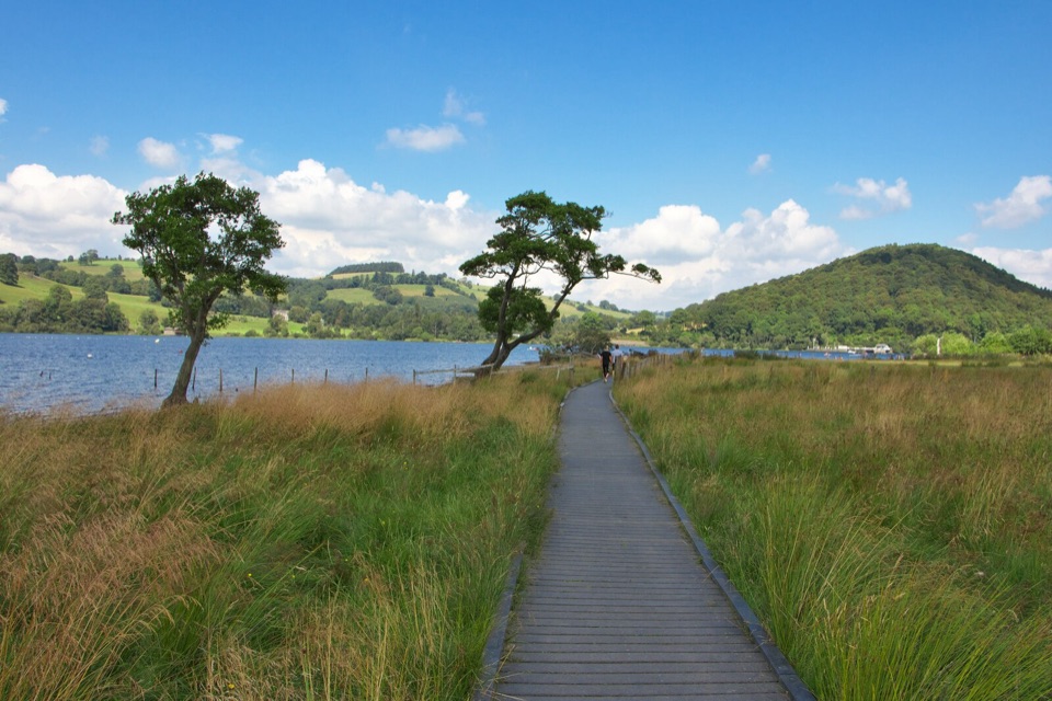
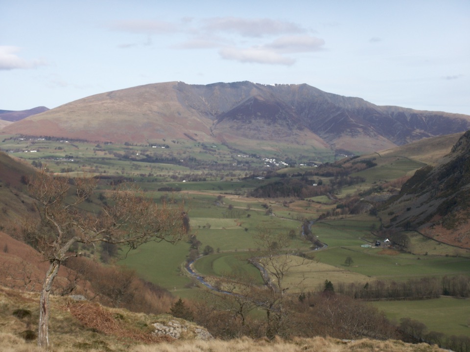
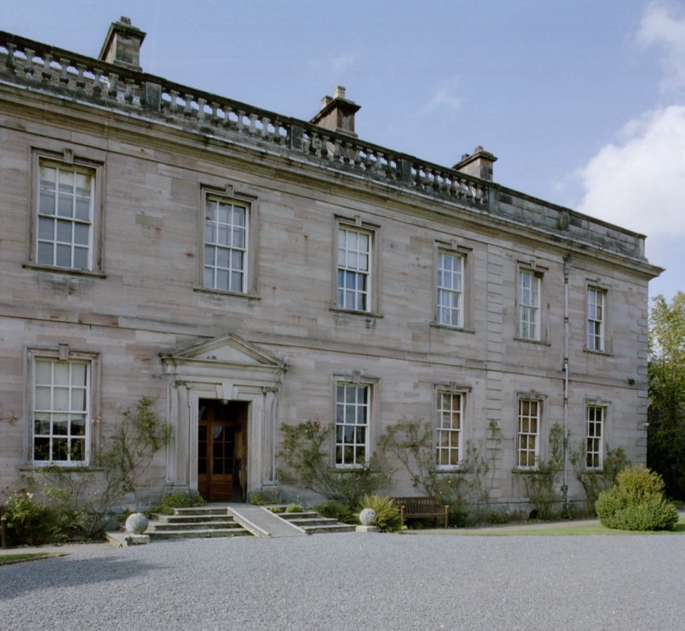
The payoff is variety without a big climb: riverbank walking, historic estate scenery, open pasture, distant fell views, a medieval castle viewed from the lane, and Dacre's unusual carved stone bears. Around the estate, look for mature trees, fallow deer, red squirrels, and songbirds. Dalemain's grounds and tearoom make a natural optional stop when open.
Parkwolf’s verdictWhy go

Map & elevation

The route

Loading the Lake District map
Full map
Elevation144–203 m
TrailheadDalemain Loop54.61250, -2.82293
Keep this map with you offline in the Parkwolf app

Plan your hike

Before you go

Parking

Use Dunmallard Car Park beside the River Eamont in Pooley Bridge (CA10 2NP), the canonical start for this loop. It is a pay-and-display car park with 37 spaces. The walk can also be started at Dalemain Mansion, which has free estate parking for visitors using that access.


Best time to go

The loop follows public rights of way and quiet roads, so no hiking permit is needed. Dogs can use the route under normal public-right-of-way rules, but keep them close or on a short lead around livestock and traffic. Longer daylight from late spring into early autumn makes the field sections more relaxed; morning or late-afternoon light is best for the river and fell views. Winter is still possible, but wet fields and short daylight make it a slower, less forgiving walk.

Safety

Take particular care on the two roughly 200 m sections beside the A592. The route also crosses working countryside with gates, livestock and uneven or wet field paths, and several turns onto lanes and field paths require attention to the signed route. Keep dogs close or on a short lead around animals and traffic. Dacre Castle is a private home and should be viewed from the route.

8 active Lake District alerts

  • ClosureChapel Stile footpath closed for retaining-wall riskPart of Footpath 543030 between Chapel Stile and Baysbrown campsite is closed because a retaining wall beside the path could collapse and material it supports could fall across the footpath.Official details
  • ClosureStanley Ghyll Lower Falls footpath closed for rockfallThe section of Footpath 408037 leading towards Stanley Ghyll Lower Falls is closed because severe rockfall damage has made the path unstable and further rockfall remains a danger.Official details
See all 8 alerts
A park ranger sits on a dash-mounted phone, talking, as Parkwolf’s Tour Guide plays “Army Cutworm Moths: A Grizzly Bear Buffet” on Grand Loop Road below Dunraven Pass in Yellowstone
Parkwolf Tour GuideThe highest, rockiest slopes around here are a summer buffet for grizzly bears.

Lake District Tour Guide

Your drive to Dalemain Loop, narrated.

Parkwolf is a GPS audio tour guide for Lake District National Park. As you drive, it chimes in with what’s ahead: hidden gems, upcoming stops, history, geology, and wildlife, right through your car’s speakers.

Recorded for this trailhead

Ullswater Walks from Pooley Bridge
0:00 / 1:06
“You're nearing Pooley Bridge at the northern end of Ullswater, a good place to stop for a short walk beside the lake.”

Plays as you drive up to this trailhead in the Parkwolf Lake District Tour Guide.

More stories near here in the app

  • Dacre: The Puzzle of the Stone Bears
  • Grey Wagtails: A Flash of Yellow
  • Mayburgh: A Monument of River Pebbles
  • Daffodils: Dorothy Was There Too
  • 298 audio storiesacross Lake District’s roads, triggered by GPS as you drive
  • Wildlife heatmapsfor Red Deer, Eurasian Otter, Osprey, and 13 more
  • Works offlinemaps, 265 trails, 89 places, and audio download before you lose signal
  • CarPlay readysimple controls built for the drive
★★★★★
“Fantastic app with many points of information… It’s great to just turn on while you’re driving and it gives you an audio tour of the national Park. We love it!!!!”
JMJamesApp Store review
Download Parkwolf on the App StoreGet Parkwolf on Google Play

4.7 from 8,600+ ratings

Trail guide

Hiking Dalemain Loop

The routeFrom the riverside start, follow the River Eamont north through meadows and parkland to…

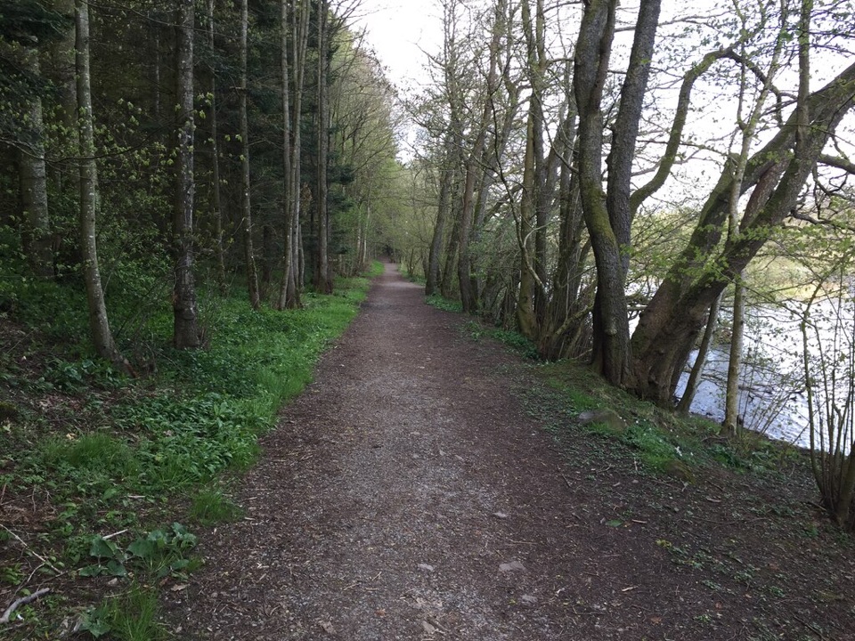
From the riverside start, follow the River Eamont north through meadows and parkland to Dalemain Mansion. The trail then continues toward Dacre Castle and St Andrew's Church before turning back through Dacre, along quiet lanes and field paths via Soulby, and down toward Dunmallard and Ullswater. The route is signed with loop markers, but there are enough lane and field-path turns to make the map useful.

What it feels likeMost of the route is gentle, but the surface changes between estate tracks, quiet roads, gates,…

Most of the route is gentle, but the surface changes between estate tracks, quiet roads, gates, and uneven fields. Wet ground can slow the return through Soulby. The walk suits anyone comfortable with five miles and ordinary countryside footing; it is a more substantial outing than the flat one-mile Church Road option from Dalemain, while being far easier than the fells above Ullswater.

Wildlife

Wildlife in Lake District

All Lake District wildlife maps

Sighting maps show where each species has been reported across Lake District. Wildlife moves, so no sighting is guaranteed.

Keep exploring

Near Dalemain Loop

See it all on the map

Trails that start nearby

Places near the trailhead

Parkwolf’s Lake District ranking

Top-rated trails in Lake District

All 265 trails
  1. 1Scafell Pike via Hollow Stones from WasdaleChallenging · 9 km
  2. 2Helvellyn via Striding Edge and Swirral EdgeChallenging · 12.4 km
  3. 3CatbellsModerate · 6.6 km
  4. 4The Old Man of ConistonChallenging · 9 km
  5. 5Buttermere CircularEasy · 7.6 km
  6. 6The Fairfield HorseshoeChallenging · 17.2 km

Take Parkwolf to Lake District.

The audio tour guide for the drive, plus offline maps, trails, and wildlife heatmaps for when the signal drops.

4.7 from 8,600+ ratings

Download Parkwolf on the App StoreGet Parkwolf on Google Play