Parking
Start and finish at Eusemere Car Park in Pooley Bridge, a named pay and display village car park. The walk begins at or beside it and then uses village streets and minor roads before reaching the footpaths and bridleways.
Lake District National Park, EN
Village lanes, a historic church, then open limestone fell above Ullswater
Overview
Map & elevation
Plan your hike

The highest, rockiest slopes around here are a summer buffet for grizzly bears.
Lake District Tour Guide
Parkwolf is a GPS audio tour guide for Lake District National Park. As you drive, it chimes in with what’s ahead: hidden gems, upcoming stops, history, geology, and wildlife, right through your car’s speakers.
Recorded for this trailhead
Ullswater Walks from Pooley Bridge“You're nearing Pooley Bridge at the northern end of Ullswater, a good place to stop for a short walk beside the lake.”
Plays as you drive up to this trailhead in the Parkwolf Lake District Tour Guide.
More stories near here in the app
“Fantastic app with many points of information… It’s great to just turn on while you’re driving and it gives you an audio tour of the national Park. We love it!!!!”


Trail guide
This is a 10.3 km / 6.4 mile circular loop, and that figure covers the whole circuit rather than one direction. From Eusemere car park you walk through Pooley Bridge and over the bridge, then follow lanes and field paths near the River Eamont and past Barton Church Farm to the grounds of St Michael's Church at Barton, a solid historic stop early on. The way continues by Celleron and Winder Hall before climbing gently onto the open moorland on the Askham Fell side of Heughscar. The high track along the flank and the cairned ground near the top is the payoff, with Ullswater below and long views toward the Helvellyn range, the northern fells, the Eden Valley and the distant Pennines when the air is clear. The descent uses the western and southern flank and Roehead, returning through the village to the car park.
Rated moderate, with about 198 m of ascent and descent, a high point near 348 m and a low point around 150 m. Recorded moving time is close to 2 hours 45 minutes; allow around 3 hours for a realistic pace with stops. Most of the climbing is gradual and there is no scrambling. Underfoot you get a mix of tarmac lanes, farm and field paths, public footpaths and bridleways, stony unpaved track, and grassy or heathery moorland that holds water and turns muddy after rain. Boots with grip are worth having for the fell section.
The ascent is easy, but the fell is crossed by many paths and junctions are not always obvious, so carry a map or GPS and check your line rather than following the nearest trodden route. The upper section is open, with little shade and nothing to break the wind, so wet or blustery weather makes the moorland part of the walk noticeably harder work than the numbers suggest.
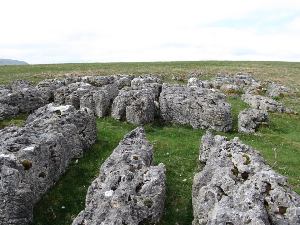
Heughscar's limestone outcrops and pavement give the hill its character, pale rock breaking through the grass and framing the drop toward the lake. The contrast between the sheltered, hedged lower miles and the bare fell top is the main appeal of doing the full circuit.
Dogs are welcome. The route crosses working farmland and grazed open moorland where sheep, ponies and other livestock may be loose, so keep dogs under close control and on a short lead near animals. On open access land a short lead is legally required from 1 March to 31 July to protect ground-nesting birds. Expect gates and stiles along the field sections.
Start and finish at Eusemere Car Park in Pooley Bridge, a named pay and display village car park. The walk begins at or beside it and then uses village streets and minor roads before reaching the footpaths and bridleways.
The short Roehead walk covers similar fell ground in far less time and is the simpler choice for a quick outing. This longer loop suits walkers who want the village, the Barton church section and the fuller approach to Ullswater, accepting more road and field walking to get it.
Wildlife
 81 sightingsRed DeerMost seen around 7 PMSighting map
 13 sightingsEurasian OtterMost seen around 6 AMSighting map
 76 sightingsOspreyMost seen around 8 AMSighting map
 51 sightingsEuropean BadgerMost seen around 8 PMSighting map
 233 sightingsMute SwanMost seen around 6 PMSighting map
 176 sightingsGrey HeronMost seen around 7 AMSighting map
Sighting maps show where each species has been reported across Lake District. Wildlife moves, so no sighting is guaranteed.
Keep exploring
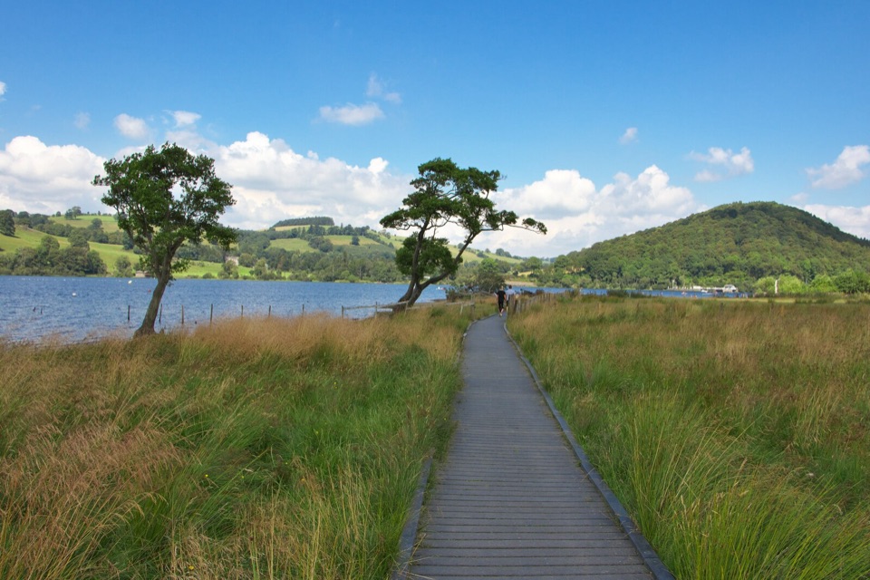 EasyPooley Bridge to Gale Bay1.8 km · 45 min · 0.1 km awayShoreline stroll to a pebbly bay with wide northern Ullswater views
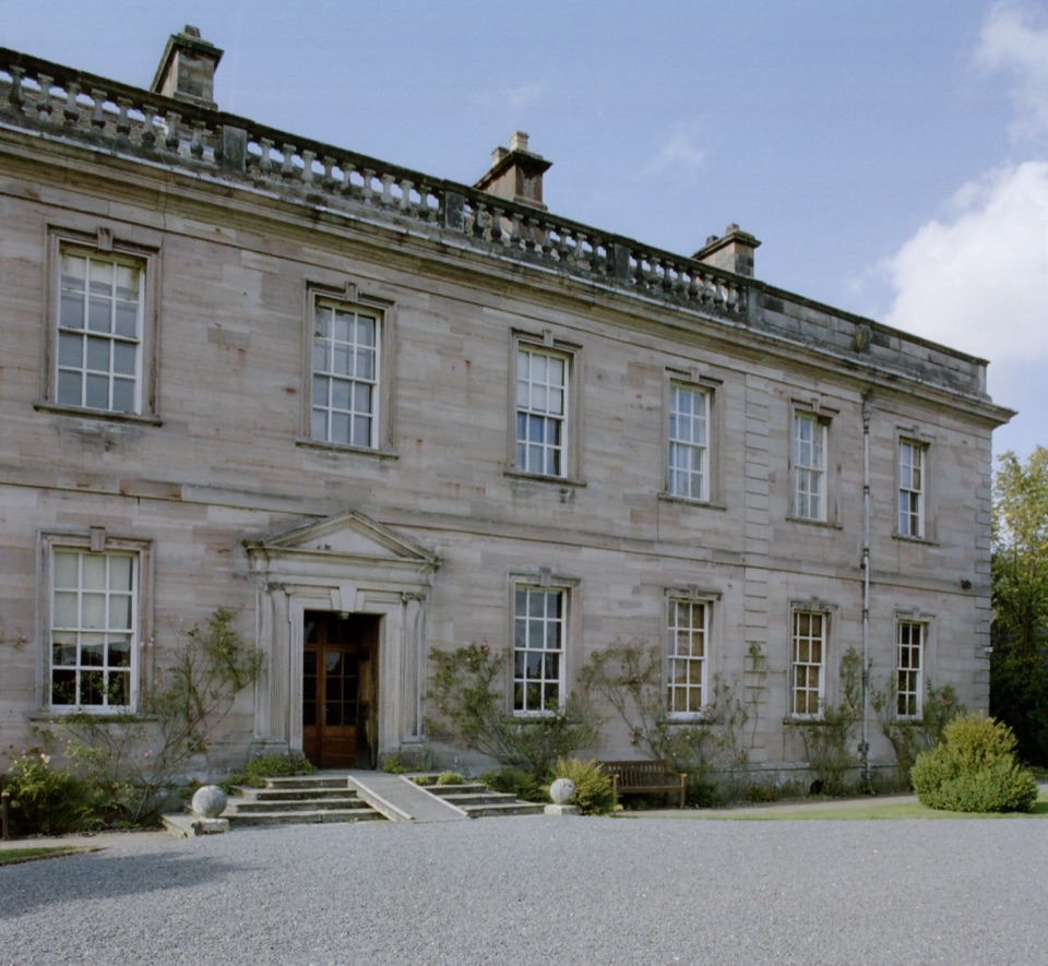 ModerateDalemain Loop8 km · 3 hr · 0.1 km awayA gentle heritage loop from Ullswater to Dalemain and Dacre
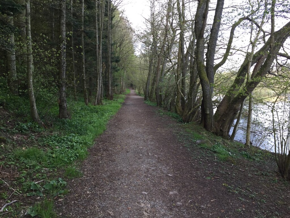 EasyDunmallard Wood, Pooley Bridge0.5 km · 30 min · 0.1 km awayFlat surfaced woodland path to benches beside the River Eamont
 ModerateLowther Loop12.1 km · 4 hr · 4.7 km awayCastle, river, village, and open-fell views in one waymarked loop
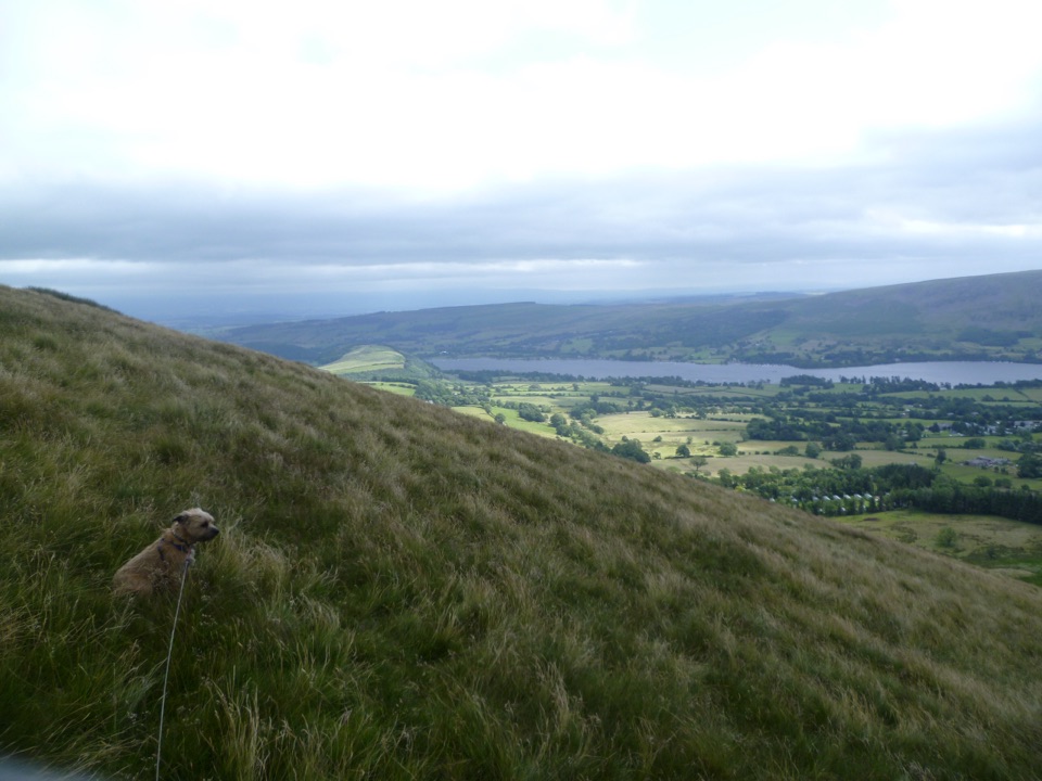 ModerateLittle Mell Fell1.2 km · 40 min · 4.7 km awayA steep little summit with Ullswater views and few frills
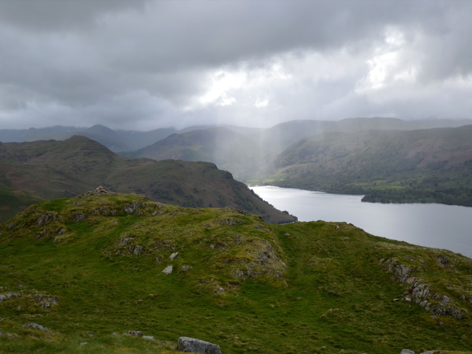 ModerateHallin Fell2.2 km · 1.8 hr · 6.2 km awaySteep grassy mile to a giant obelisk high above Ullswater
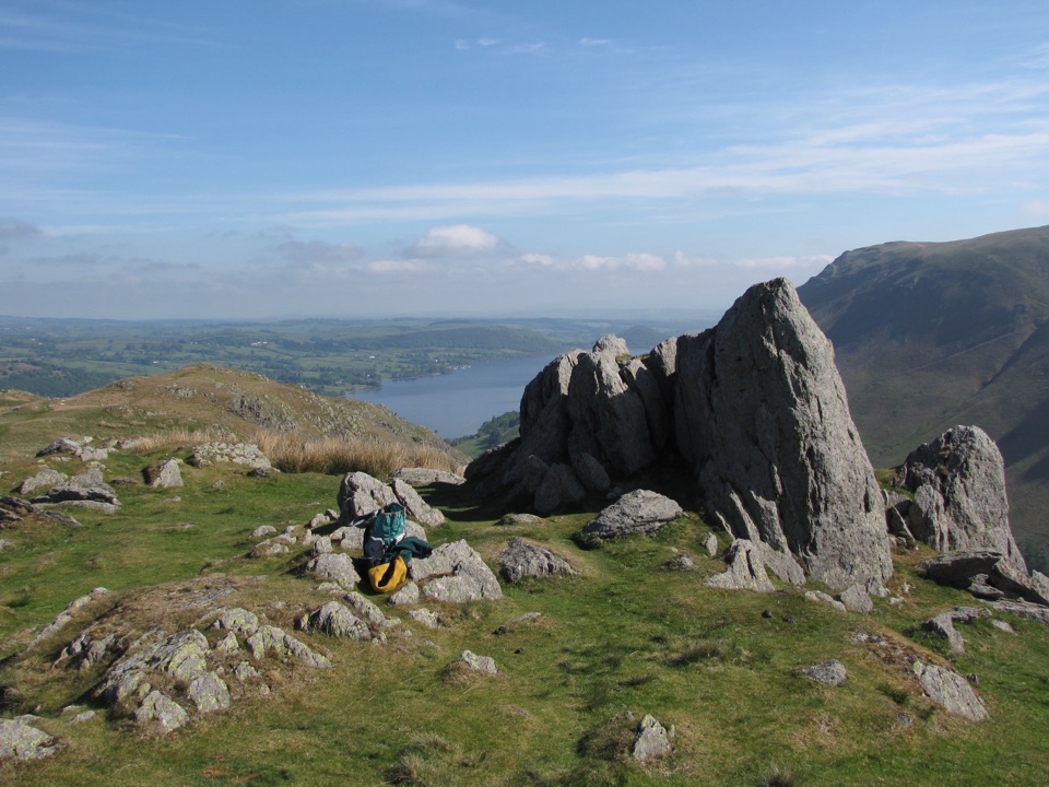 ModerateSteel Knotts and Pikeawassa4 km · 2 hr · 6.2 km awayA short, steep loop to a rocky Ullswater viewpointChallengingFusedale Round: Steel Knotts, Wether Hill, Loadpot Hill, Arthur's Pike and Bonscale Pike14.3 km · 4.5 hr · 6.2 km awayFive quiet fells above Ullswater, ending with a steep grassy descent
 Sight · 5.9 km awayUllswaterA mountain-rimmed lake made for cruises, walks, and changing light
 Sight · 8 km awayAira ForceA wooded waterfall walk with bridges, cascades, and Ullswater views
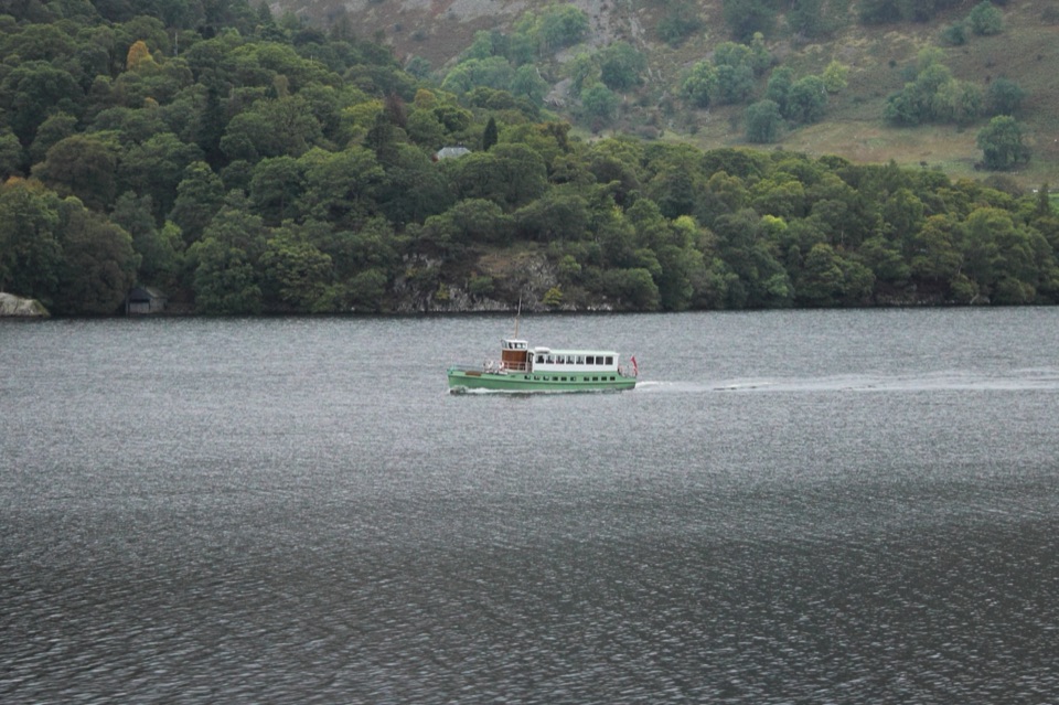 Sight · 10.9 km awayUllswater SteamersHeritage boats turn Ullswater into a moving mountain panorama
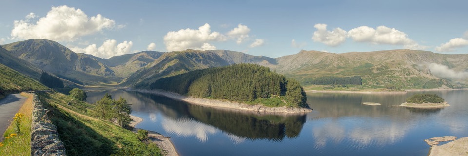 Sight · 11.1 km awayHaweswater ReservoirA remote mountain reservoir where quiet paths meet the High Street fells
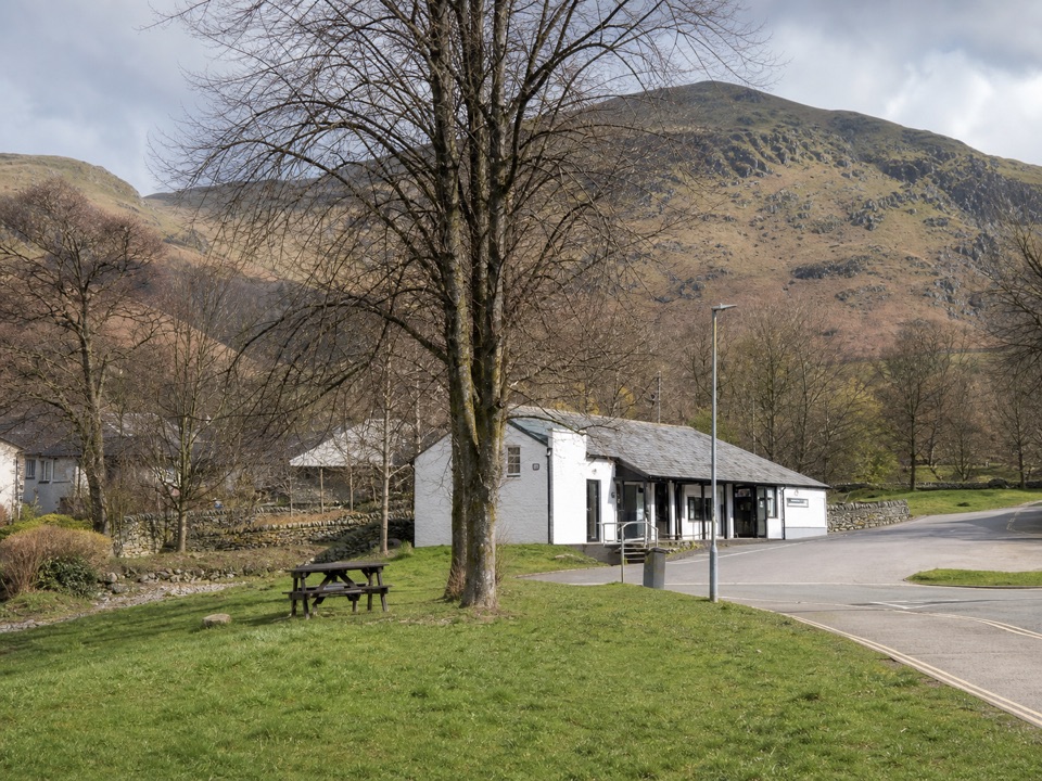 Visitor center · 11.2 km awayUllswater Information CentreA practical launchpad for Ullswater walks, boats, and local know-how
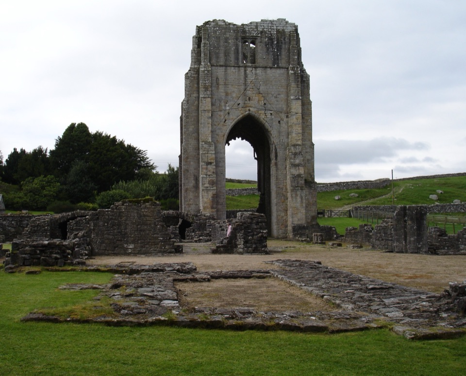 Sight · 12 km awayShap AbbeyA quiet monastic ruin with a striking 15th-century west tower
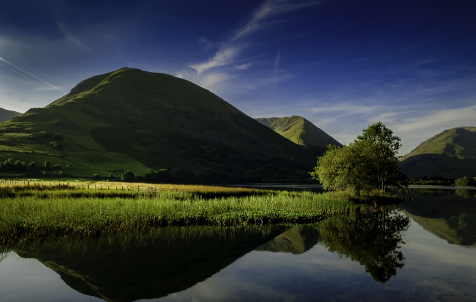 Sight · 13.3 km awayBrothers WaterA reed-fringed lake with big fell reflections and an easy shore walk
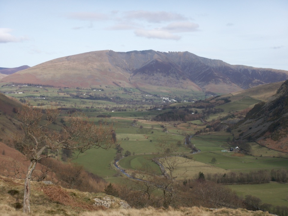 Sight · 15 km awayBlencathraTwo famous ridges lead to a broad summit with far-reaching views
Parkwolf’s Lake District ranking

The audio tour guide for the drive, plus offline maps, trails, and wildlife heatmaps for when the signal drops.





