Parking
Use the roadside spaces at St Peter's Church on Martindale Hause, opposite the fell's access path. The final approach is a narrow, winding lane with hairpins. Parking is limited; do not block the church, road, gates, or farm access.
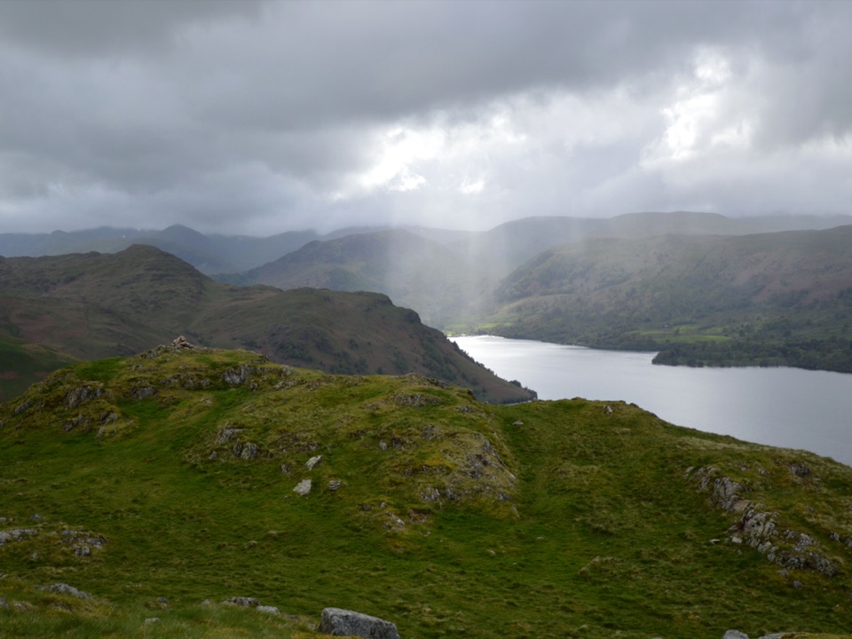
Lake District National Park, EN
Steep grassy mile to a giant obelisk high above Ullswater
Overview
A short summit circuit of about 1.35 miles with roughly 228 m of ascent, stored as one continuous loop line. Depending on where you park and which line you take off the road, the total can measure anywhere from about 1.3 to 1.7 miles. Allow around 1.75 hours, which leaves time to wander the top rather than turn straight around.
Map & elevation
Plan your hike

The highest, rockiest slopes around here are a summer buffet for grizzly bears.
Lake District Tour Guide
Parkwolf is a GPS audio tour guide for Lake District National Park. As you drive, it chimes in with what’s ahead: hidden gems, upcoming stops, history, geology, and wildlife, right through your car’s speakers.
Recorded for this trailhead
Hallin Fell from Martindale Hause“You're approaching Martindale Hause, the starting point for Hallin Fell and a short climb with a surprisingly wide view of Ullswater.”
Plays as you drive up to this trailhead in the Parkwolf Lake District Tour Guide.
More stories near here in the app
“Fantastic app with many points of information… It’s great to just turn on while you’re driving and it gives you an audio tour of the national Park. We love it!!!!”


Trail guide
Start at the roadside parking opposite St Peter's Church at Martindale Hause and walk a short distance along the road toward Howtown to pick up the broad path. From there the climb rises directly up open grass, passing a small water tank, onto the summit plateau at 388 m and its large stone obelisk. Cross the shallow summit hawse to the nearby far knoll for the inland view over Martindale and Boredale, then return to the hawse and take the same broad grassy line back down to the church.
Navigation is simple in clear conditions and the path is wide and obvious for most of the way. The effort is concentrated in a sustained steep pull on grass, with rougher, rockier ground, outcrops and shallow hollows around the top. No scrambling is required. The descent is the same steep grass, which can be slippery when wet, so poles or careful footing help. Bracken encroaches on the lower slopes in high summer.
Ullswater sits almost directly below the summit, and the view runs both ways along the lake as well as inland over the quiet valleys of Martindale and Boredale and the surrounding fells. For the height gained, the outlook is unusually wide, which is the main reason people climb this fell rather than for the length of the walk.
The fell is open grazing land with little or no shade and no dependable water on the route, so carry what you need for the whole loop. The summit plateau is fully exposed to wind and passing weather, and cloud can remove the view entirely. Bring a layer even for a short outing. Dogs are welcome on the ordinary route, but livestock graze the open fell and dogs should be kept under close control throughout, and with no water source on the climb you will need to bring some for them as well.
The approach road is narrow and winding with tight hairpins, so drive slowly and expect to give way. Parking is at and near St Peter's Church and is limited, with no guarantee of a space at busy times. Arriving early on weekends and holidays is the practical answer, and it also gives you the quietest time on the summit, which sees steady traffic through the middle of the day.
If you want a longer day from the same start, a roughly 3.6-mile circuit drops from the fell to the Ullswater shoreline and returns through woodland and past Hallin Bank. It is a distinctly different walk with more distance, shade and a fainter, sometimes bracken-covered return, rather than a variation on this short summit loop.
Wildlife
 81 sightingsRed DeerMost seen around 7 PMSighting map
 13 sightingsEurasian OtterMost seen around 6 AMSighting map
 76 sightingsOspreyMost seen around 8 AMSighting map
 51 sightingsEuropean BadgerMost seen around 8 PMSighting map
 233 sightingsMute SwanMost seen around 6 PMSighting map
 176 sightingsGrey HeronMost seen around 7 AMSighting map
Sighting maps show where each species has been reported across Lake District. Wildlife moves, so no sighting is guaranteed.
Keep exploring
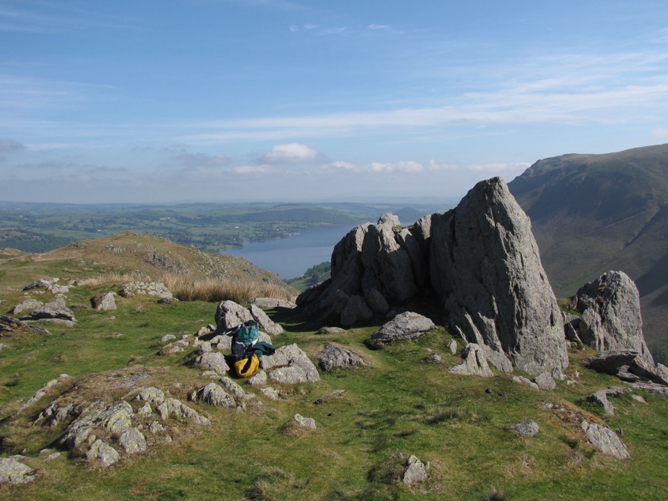 ModerateSteel Knotts and Pikeawassa4 km · 2 hr · At the trailheadA short, steep loop to a rocky Ullswater viewpointChallengingFusedale Round: Steel Knotts, Wether Hill, Loadpot Hill, Arthur's Pike and Bonscale Pike14.3 km · 4.5 hr · At the trailheadFive quiet fells above Ullswater, ending with a steep grassy descent
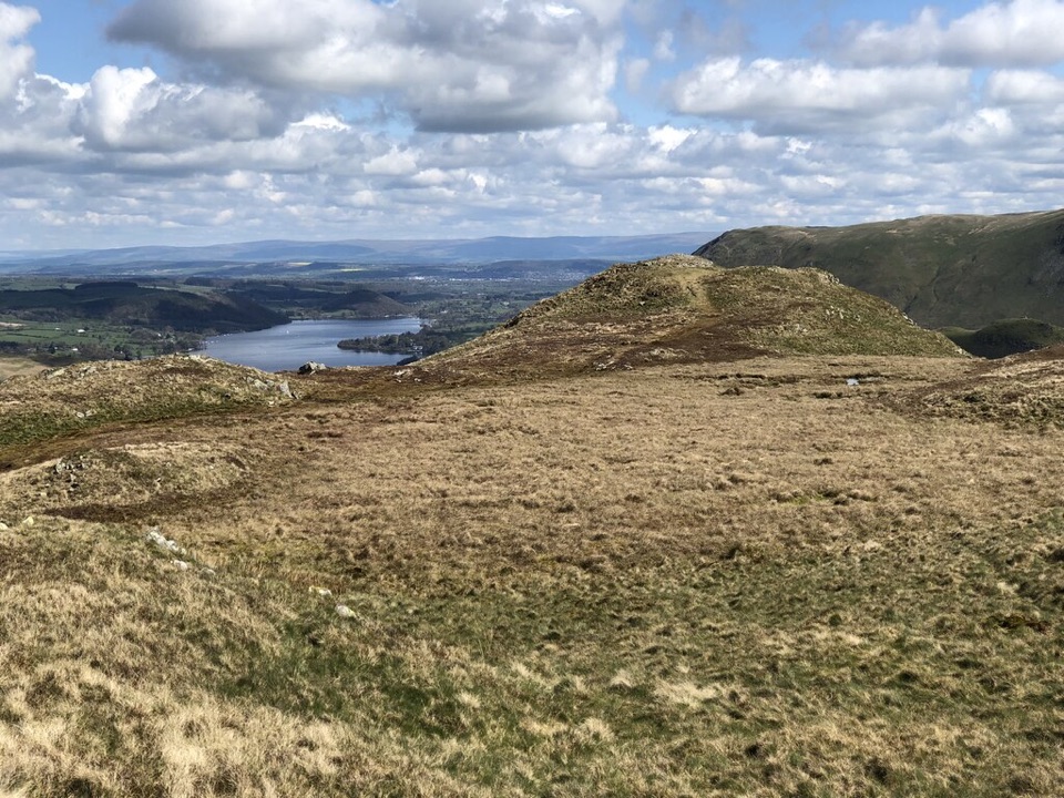 ModerateBeda Fell from Martindale6.1 km · 3 hr · 0.8 km awayA quiet ridge circuit with Ullswater views and a rough fell descent
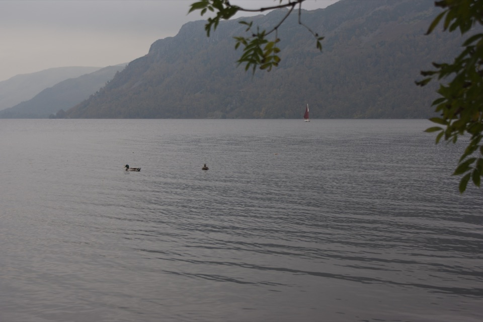 EasyAira Force to Glencoyne Trail1.9 km · 45 min · 3.6 km awayLakeshore and woodland link route between two Ullswater car parks
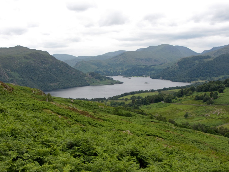 ModerateAira Force and Gowbarrow Park Trail7.2 km · 2.5 hr · 3.6 km awayWaterfalls, a summit panorama, and Ullswater views in one loop
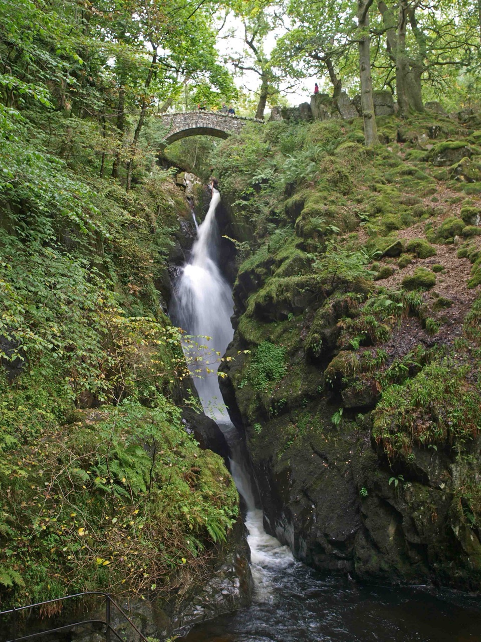 EasyAira Force Waterfall Walk1.6 km · 1.3 hr · 3.6 km awayStepped woodland climb to a 65-foot fall, one mile round trip
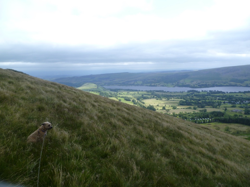 ModerateLittle Mell Fell1.2 km · 40 min · 4.5 km awayA steep little summit with Ullswater views and few frills
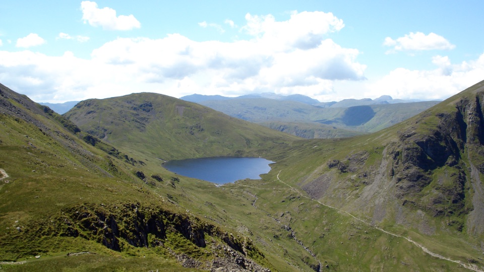 ChallengingSt Sunday Crag and Grisedale Tarn14.5 km · 5.5 hr · 5.2 km awayA high ridge, airy crags, and a tarn-filled valley return
 Sight · 1.4 km awayUllswaterA mountain-rimmed lake made for cruises, walks, and changing light
 Sight · 3.9 km awayAira ForceA wooded waterfall walk with bridges, cascades, and Ullswater views
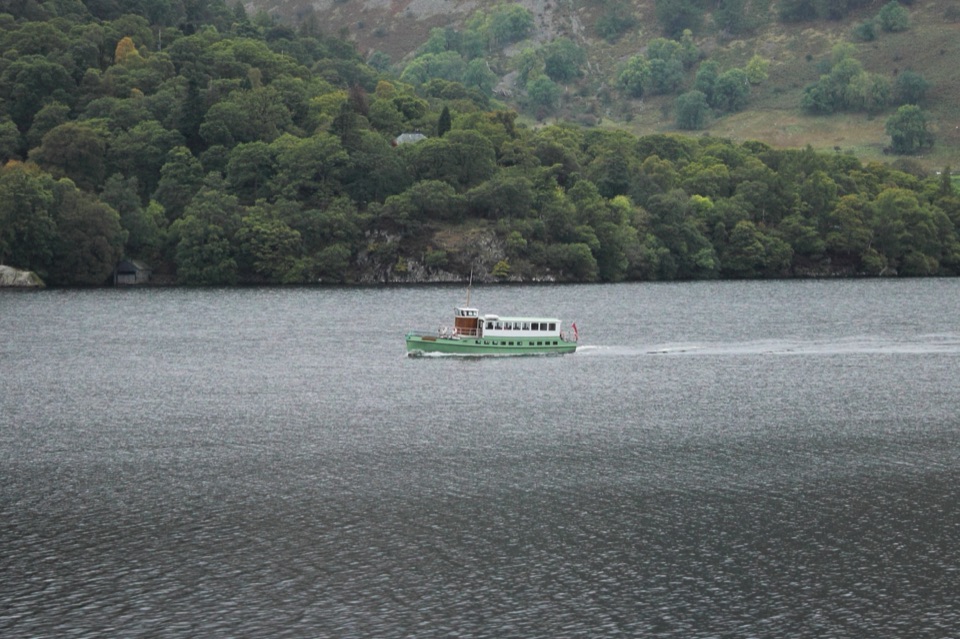 Sight · 5.1 km awayUllswater SteamersHeritage boats turn Ullswater into a moving mountain panorama
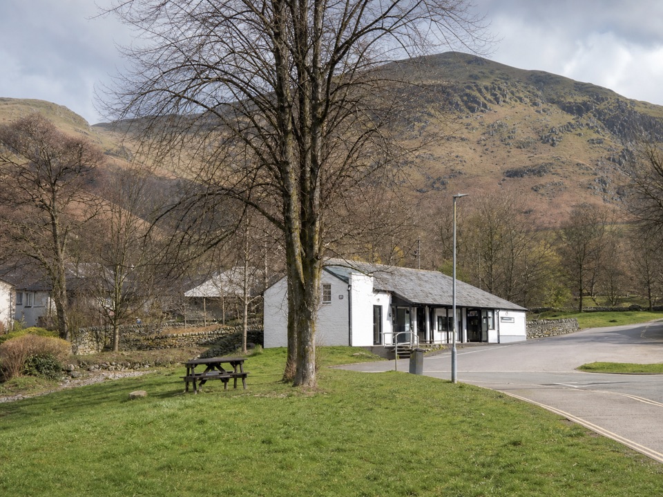 Visitor center · 5.5 km awayUllswater Information CentreA practical launchpad for Ullswater walks, boats, and local know-how
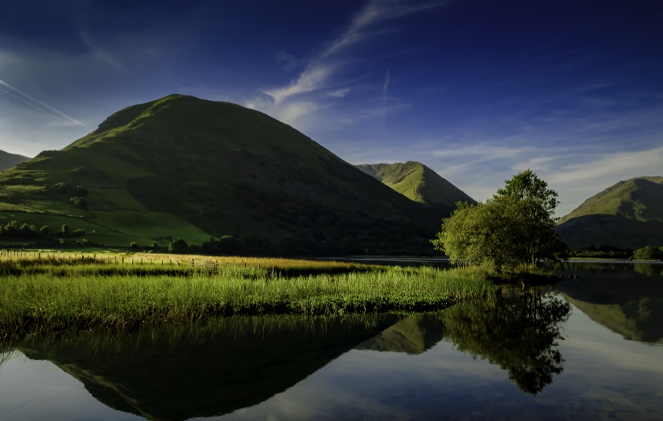 Sight · 7.1 km awayBrothers WaterA reed-fringed lake with big fell reflections and an easy shore walk
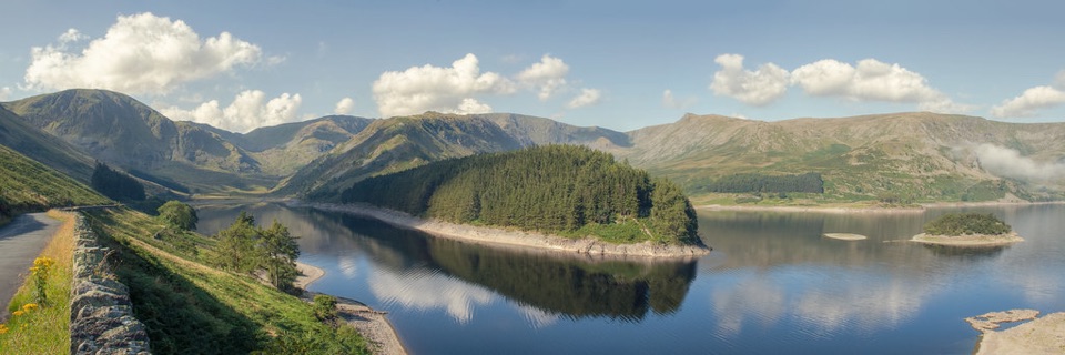 Sight · 7.6 km awayHaweswater ReservoirA remote mountain reservoir where quiet paths meet the High Street fells
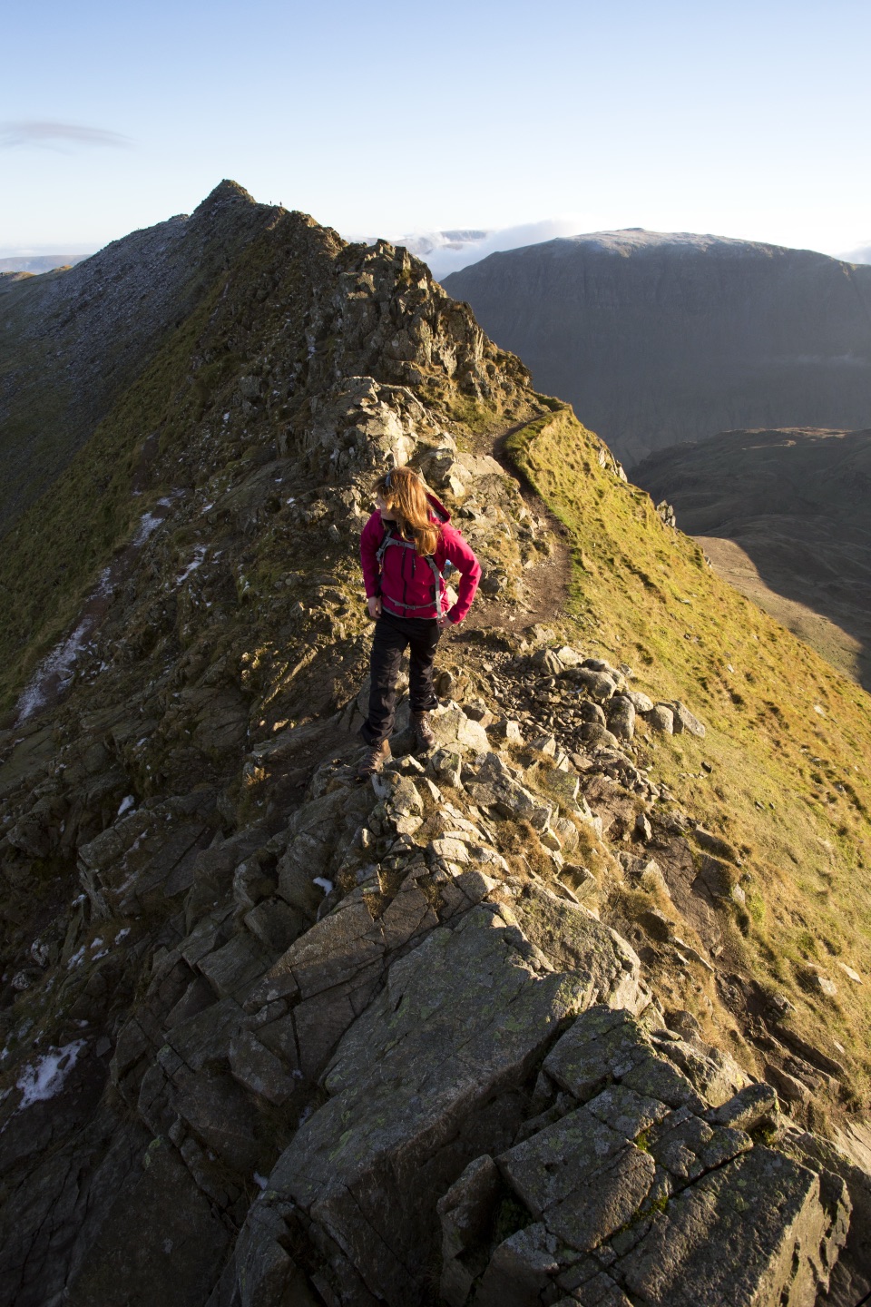 Sight · 10.2 km awayHelvellynEngland's third-highest peak, ringed by two airy ridges
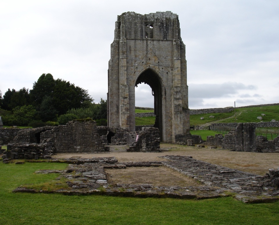 Sight · 11.9 km awayShap AbbeyA quiet monastic ruin with a striking 15th-century west tower
Parkwolf’s Lake District ranking

The audio tour guide for the drive, plus offline maps, trails, and wildlife heatmaps for when the signal drops.





